| Memorials | : | 0 |
| Location | : | Attilla, LaRue County, USA |
| Coordinate | : | 37.4821600, -85.5026800 |
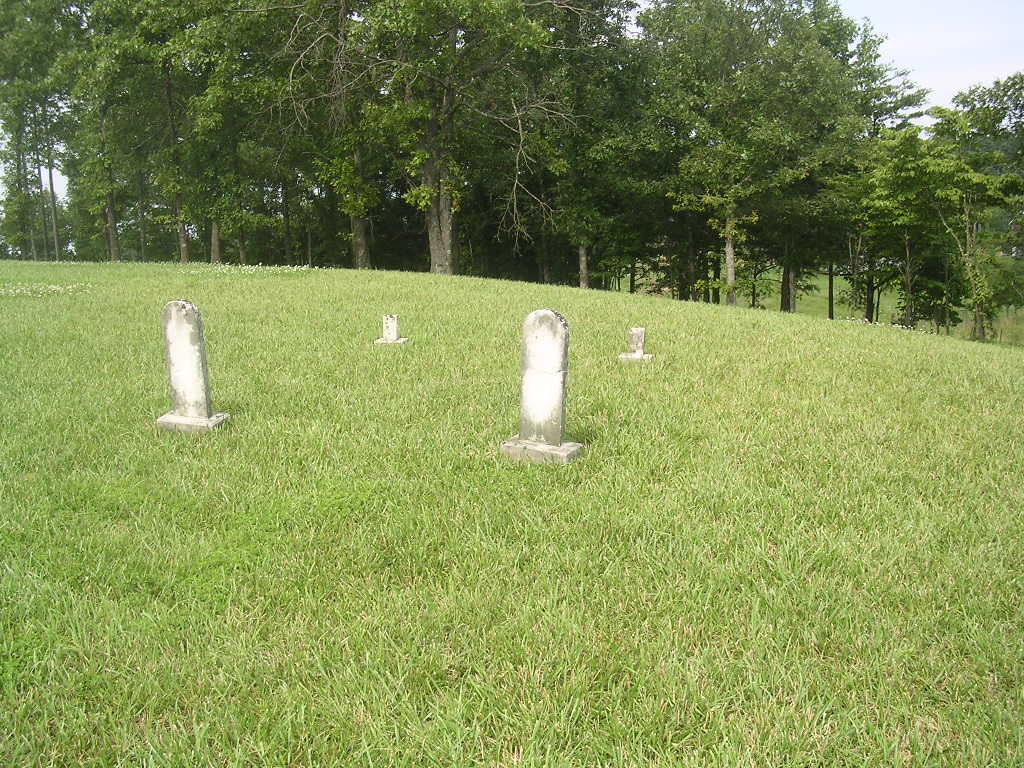
| Description | : | This Skaggs family cemetery is located in the front yard of a modern home on Attilla Road, Hwy 462 about 600 feet west of the intersection of Gravel Pit Road. There were two custom headstones in the cemetery and indications of several unmarked graves. |
frequently asked questions (FAQ):
-
Where is Skaggs Cemetery?
Skaggs Cemetery is located at Attilla Road Attilla, LaRue County ,Kentucky ,USA.
-
Skaggs Cemetery cemetery's updated grave count on graveviews.com?
0 memorials
-
Where are the coordinates of the Skaggs Cemetery?
Latitude: 37.4821600
Longitude: -85.5026800
Nearby Cemetories:
1. New Bethlehem Baptist Church Cemetery
Attilla, LaRue County, USA
Coordinate: 37.4983400, -85.5033100
2. Bethel Baptist Church Cemetery
LaRue County, USA
Coordinate: 37.5033330, -85.5147110
3. Ratliff Family Cemetery
Raywick, Marion County, USA
Coordinate: 37.4733300, -85.4631000
4. Skaggs Family Cemetery
Raywick, Marion County, USA
Coordinate: 37.5016190, -85.4628140
5. Levelwoods Methodist Cemetery
LaRue County, USA
Coordinate: 37.5030880, -85.5470290
6. Otter Creek Baptist Cemetery
Buffalo, LaRue County, USA
Coordinate: 37.4663460, -85.5544770
7. Baird Family Cemetery
Ginseng, LaRue County, USA
Coordinate: 37.5025390, -85.5613310
8. Sutton Cemetery
Marion County, USA
Coordinate: 37.5275002, -85.4689026
9. Corinth Baptist Church Cemetery
Hodgenville, LaRue County, USA
Coordinate: 37.4689160, -85.5827680
10. Howell Family Cemetery
Ginseng, LaRue County, USA
Coordinate: 37.5037500, -85.5834500
11. Stillwell Family Cemetery
Hodgenville, LaRue County, USA
Coordinate: 37.5314950, -85.5675530
12. Highview United Methodist Church Cemetery
Raywick, Marion County, USA
Coordinate: 37.5537100, -85.4983150
13. Houston Cemetery
Buffalo, LaRue County, USA
Coordinate: 37.4858410, -85.5957320
14. DeSpain Cemetery
Bloyd, Green County, USA
Coordinate: 37.4571120, -85.5945680
15. Mount Gilboa Baptist Church Cemetery
Saint Joseph, Marion County, USA
Coordinate: 37.4742620, -85.4053330
16. Rolling Fork Baptist Cemetery
Gleanings, LaRue County, USA
Coordinate: 37.5606120, -85.5320700
17. Ball Hollow Cemetery
Ginseng, LaRue County, USA
Coordinate: 37.4810700, -85.6070600
18. Union Band Baptist Cemetery
Howardstown, Nelson County, USA
Coordinate: 37.5405140, -85.5780820
19. DeSpain Cemetery
Green County, USA
Coordinate: 37.4605120, -85.6106990
20. Pleasant Ridge Baptist Church Cemetery
LaRue County, USA
Coordinate: 37.4677310, -85.6151200
21. Beech Grove Methodist Cemetery
Howardstown, Nelson County, USA
Coordinate: 37.5449480, -85.5856950
22. Raywick Methodist Cemetery
Raywick, Marion County, USA
Coordinate: 37.5608230, -85.4421490
23. Masonic Hall Cemetery
LaRue County, USA
Coordinate: 37.5365170, -85.6027740
24. Saint Matthews Cemetery
Marion County, USA
Coordinate: 37.4832993, -85.3794022

