| Memorials | : | 0 |
| Location | : | Torrance County, USA |
| Coordinate | : | 34.8576240, -105.5820310 |
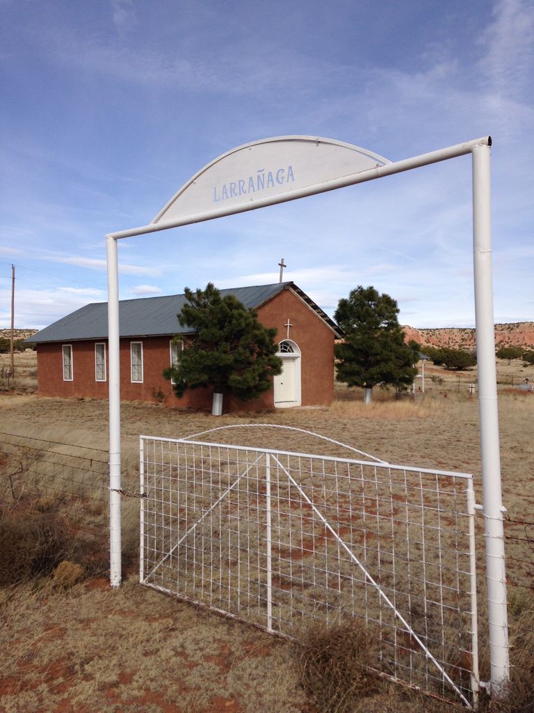
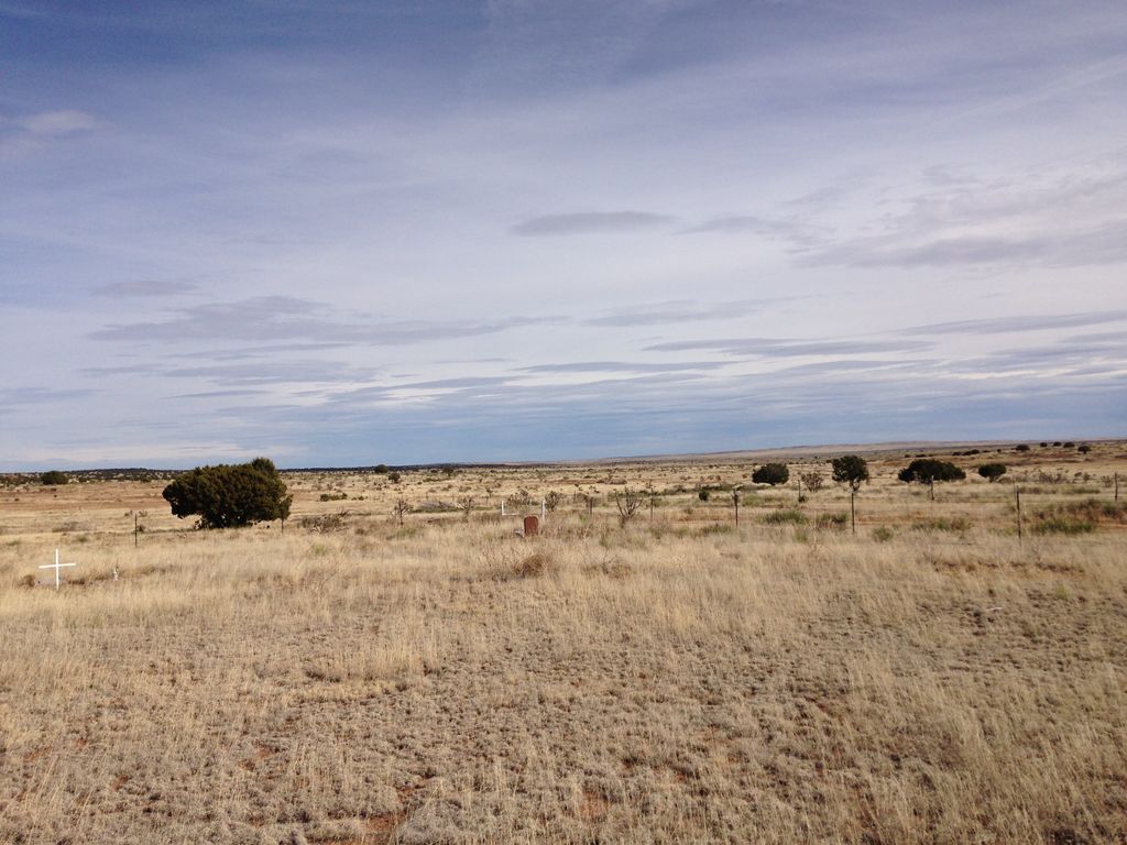
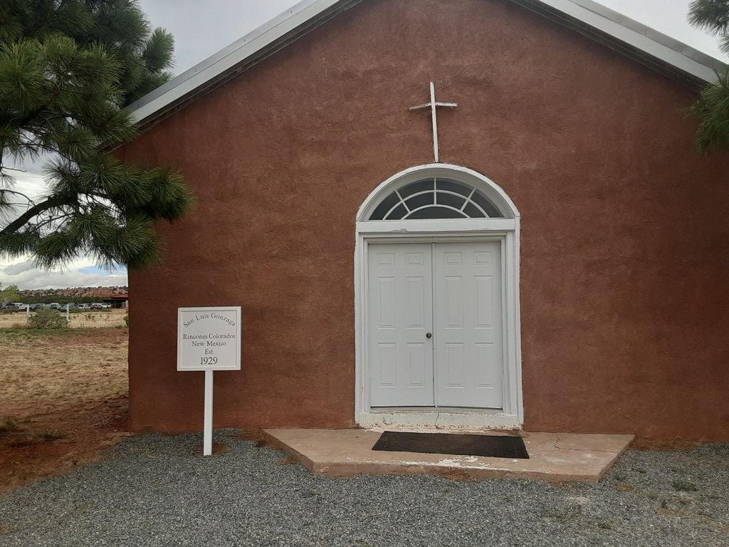
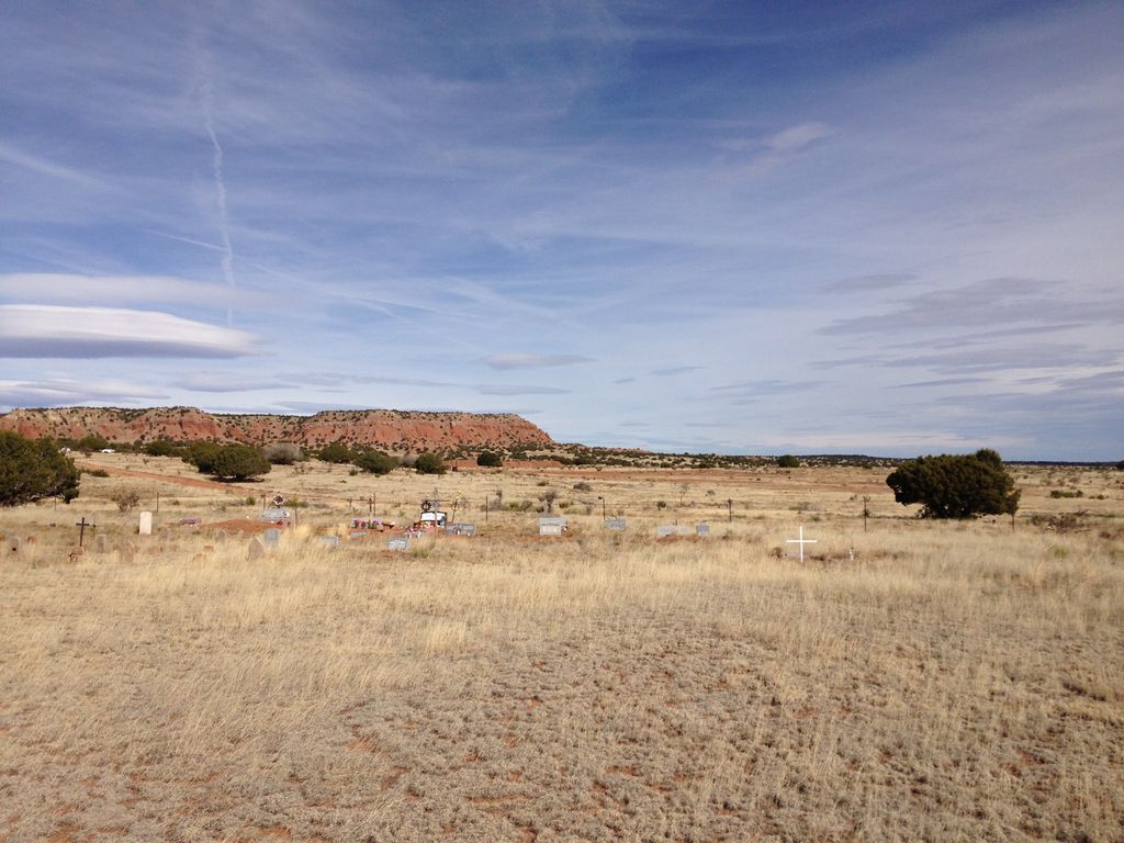
| Description | : | Red Hills is a family cemetery and is named for the nearby red hills! The family member told us that his grandparents had home-steaded on the site, and had established the family cemetery. He produced a plot of interments and provided it to us, and explained that early interments were lost because resources available to the family in early times did not allow for permanent and appropriate markers. Some were just stones. He related that the family maintains the church and that the Archbishop had conducted worship in the church in 2015, and the family holds... Read More |
frequently asked questions (FAQ):
-
Where is Red Hills Cemetery?
Red Hills Cemetery is located at Torrance County ,New Mexico ,USA.
-
Red Hills Cemetery cemetery's updated grave count on graveviews.com?
0 memorials
-
Where are the coordinates of the Red Hills Cemetery?
Latitude: 34.8576240
Longitude: -105.5820310
Nearby Cemetories:
1. Palma Townsite Cemetery
Palma, Torrance County, USA
Coordinate: 34.9772930, -105.4656020
2. Derramadero Cemetery
Derramadero, Torrance County, USA
Coordinate: 34.8286500, -105.3319400
3. Negra Cemetery
Torrance County, USA
Coordinate: 34.6529120, -105.5377640
4. Guadalupe Cemetery
Encino, Torrance County, USA
Coordinate: 34.6483000, -105.4678000
5. Encino Cemetery
Encino, Torrance County, USA
Coordinate: 34.6450000, -105.4665000
6. Tapia Cemetery
San Miguel County, USA
Coordinate: 35.1064430, -105.6619530
7. Our Lady of Sorrows Cemetery
Guadalupe County, USA
Coordinate: 34.9459770, -105.2726160
8. Milagro Cemetery
Milagro, Guadalupe County, USA
Coordinate: 34.9459020, -105.2724940
9. Lucy Cemetery
Lucy, Torrance County, USA
Coordinate: 34.6390340, -105.8333340
10. San Juan Cemetery
San Miguel County, USA
Coordinate: 35.1455994, -105.3649979
11. Santo Nino de Atocha Church Cemetery
San Miguel County, USA
Coordinate: 35.1258000, -105.3003000
12. San Francisco Cemetery
San Miguel County, USA
Coordinate: 35.2129900, -105.5708100
13. Sombrio Cemetery
Guadalupe County, USA
Coordinate: 34.8773100, -105.1420400
14. McIntosh Cemetery
Torrance County, USA
Coordinate: 34.8647003, -106.0511017
15. San Isidro de Labador Church Cemetery
Gonzales Ranch, San Miguel County, USA
Coordinate: 35.2403620, -105.4591370
16. Our Lady of Mount Carmel Cemetery
Moriarty, Torrance County, USA
Coordinate: 34.9900017, -106.0485992
17. Pinos Wells Cemetery
Pinos Wells, Torrance County, USA
Coordinate: 34.4505997, -105.6382980
18. South Pinos Wells Cemetery
Cedarvale, Torrance County, USA
Coordinate: 34.4459000, -105.6278992
19. Mountain View Cemetery
Moriarty, Torrance County, USA
Coordinate: 34.9977989, -106.0631027
20. Hindi Family Cemetery
Torrance County, USA
Coordinate: 34.4672012, -105.3964005
21. Holy Family Cemetery
Pintada, Guadalupe County, USA
Coordinate: 34.8814700, -105.0713000
22. Evergreen Cemetery
Vaughn, Guadalupe County, USA
Coordinate: 34.5938988, -105.1806030
23. Duran Cemetery
Duran, Torrance County, USA
Coordinate: 34.4636007, -105.3915816
24. Estancia Memorial Cemetery
Estancia, Torrance County, USA
Coordinate: 34.7406006, -106.0796967


