
| Memorials | : | 17 |
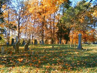
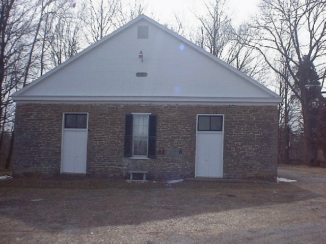
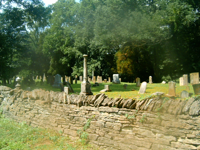
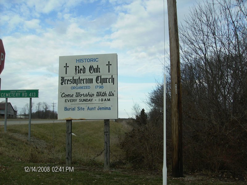
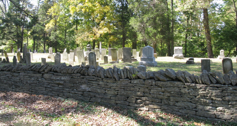
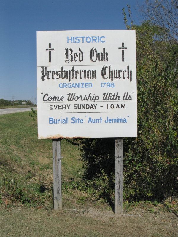
| Location | : | Redoak, Brown County, USA |
| Coordinate | : | 38.7967682, -83.7957916 |
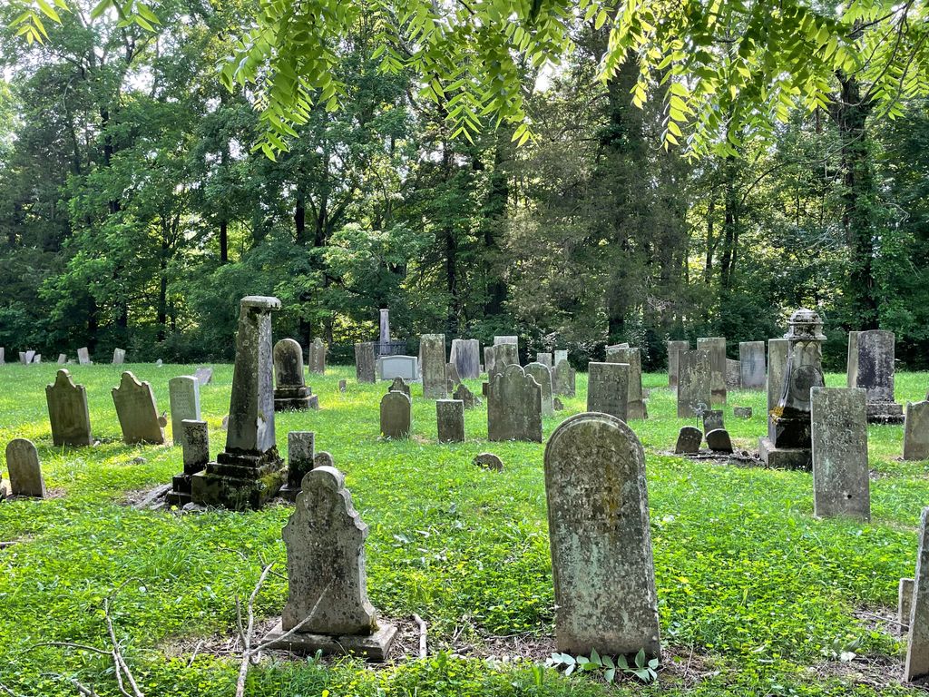
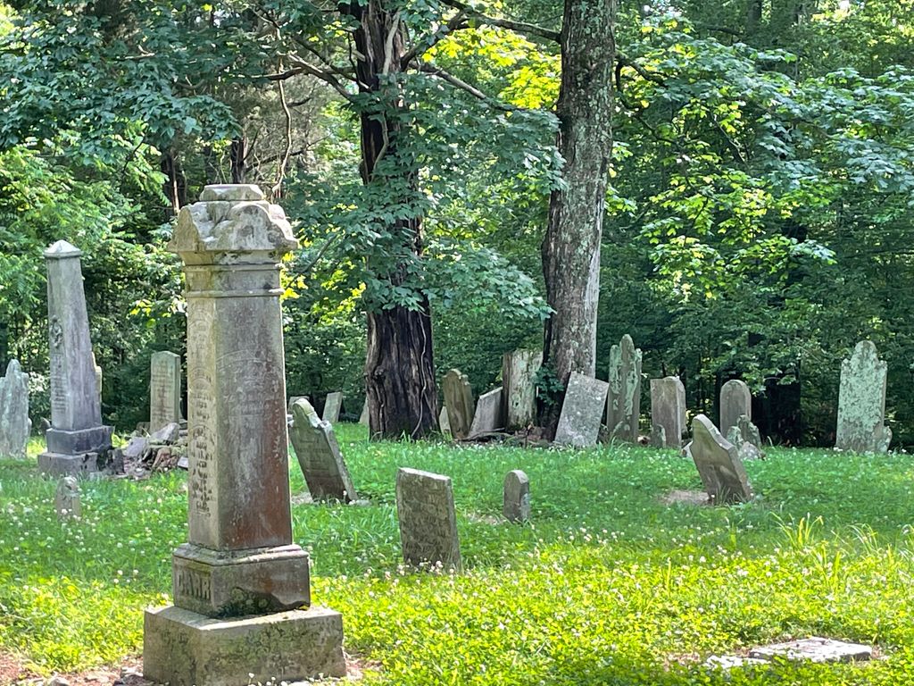
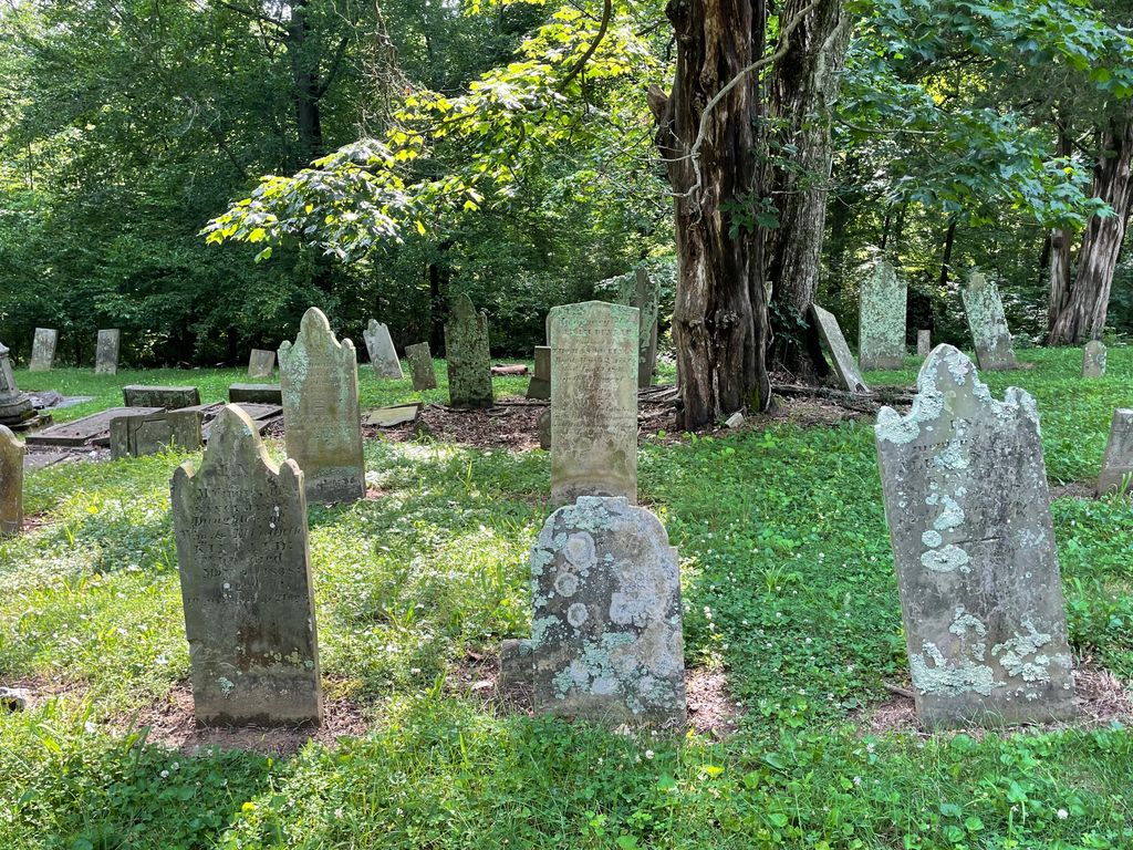
| Description | : | Cemetery Road is located off of US Route 62/68 at approximately 5 miles north of the town of Ripley and approximately 1 mile south of State Road 353. The cemetery is located on the east side of the road. The cemetery is located in Pike Township, Brown County, Ohio, and is # 1245 (Redoak Churchyard / Presbyterian Cemetery) in “Ohio Cemeteries 1803-2003”, compiled by the Ohio Genealogical Society. The U.S. Geological Survey (USGS) Geographic Names Information System (GNIS) feature ID for the cemetery is 1699142 (Presbyterian Cemetery / Red Oak Churchyard). |
frequently asked questions (FAQ):
-
Where is Red Oak Presbyterian Church Cemetery?
Red Oak Presbyterian Church Cemetery is located at 5754 Cemetery Road Redoak, Brown County ,Ohio , 45167USA.
-
Red Oak Presbyterian Church Cemetery cemetery's updated grave count on graveviews.com?
16 memorials
-
Where are the coordinates of the Red Oak Presbyterian Church Cemetery?
Latitude: 38.7967682
Longitude: -83.7957916
Nearby Cemetories:
1. Devore Family Cemetery
Union Township, Brown County, USA
Coordinate: 38.8053017, -83.8199997
2. Beasley Family Cemetery
Union Township, Brown County, USA
Coordinate: 38.7784910, -83.7791710
3. Reeves Family Cemetery
Redoak, Brown County, USA
Coordinate: 38.7961000, -83.7608300
4. Old Redoak Cemetery
Redoak, Brown County, USA
Coordinate: 38.8072014, -83.8289032
5. Gardner Cemetery
Russellville, Brown County, USA
Coordinate: 38.8330200, -83.7884300
6. Glaze Cemetery
Jefferson Township, Brown County, USA
Coordinate: 38.8342300, -83.8029280
7. Reeves Cemetery
Decatur, Brown County, USA
Coordinate: 38.7913780, -83.7370450
8. Martin Farm Cemetery
Ripley, Brown County, USA
Coordinate: 38.7825450, -83.8545640
9. Martin Cemetery
Aberdeen, Brown County, USA
Coordinate: 38.7818985, -83.8546982
10. Evans Cemetery
Decatur, Brown County, USA
Coordinate: 38.8177470, -83.7354080
11. Liberty Chapel Cemetery
Decatur, Brown County, USA
Coordinate: 38.8171997, -83.7350006
12. Old Russellville Cemetery
Russellville, Brown County, USA
Coordinate: 38.8513985, -83.7878036
13. Howard Ridge Cemetery
Ripley, Brown County, USA
Coordinate: 38.7430992, -83.8143997
14. Woods Cemetery
Ripley, Brown County, USA
Coordinate: 38.7789001, -83.7225037
15. West-Evans Cemetery
Russellville, Brown County, USA
Coordinate: 38.8332750, -83.7333830
16. Old Ripley Cemetery
Ripley, Brown County, USA
Coordinate: 38.7456200, -83.8416000
17. Hillman Ridge Cemetery
Georgetown, Brown County, USA
Coordinate: 38.8353004, -83.8621979
18. Hill Family Cemetery
Union Township, Brown County, USA
Coordinate: 38.7788990, -83.8775180
19. Pisgah Ridge Cemetery
Levanna, Brown County, USA
Coordinate: 38.7817001, -83.8799973
20. Daulton Family Cemetery
Ripley, Brown County, USA
Coordinate: 38.7354000, -83.7599000
21. Baird Cemetery
Russellville, Brown County, USA
Coordinate: 38.8594360, -83.7610016
22. Kerr Cemetery
Ripley, Brown County, USA
Coordinate: 38.7354720, -83.7570640
23. Fitchs Chapel Cemetery
Ripley, Brown County, USA
Coordinate: 38.7275009, -83.7874985
24. Maplewood Cemetery
Ripley, Brown County, USA
Coordinate: 38.7352982, -83.8377991