
| Memorials | : | 0 |
| Location | : | Jefferson Township, Brown County, USA |
| Coordinate | : | 38.8342300, -83.8029280 |
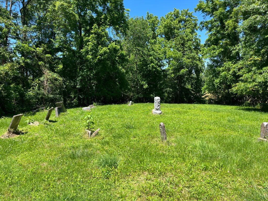
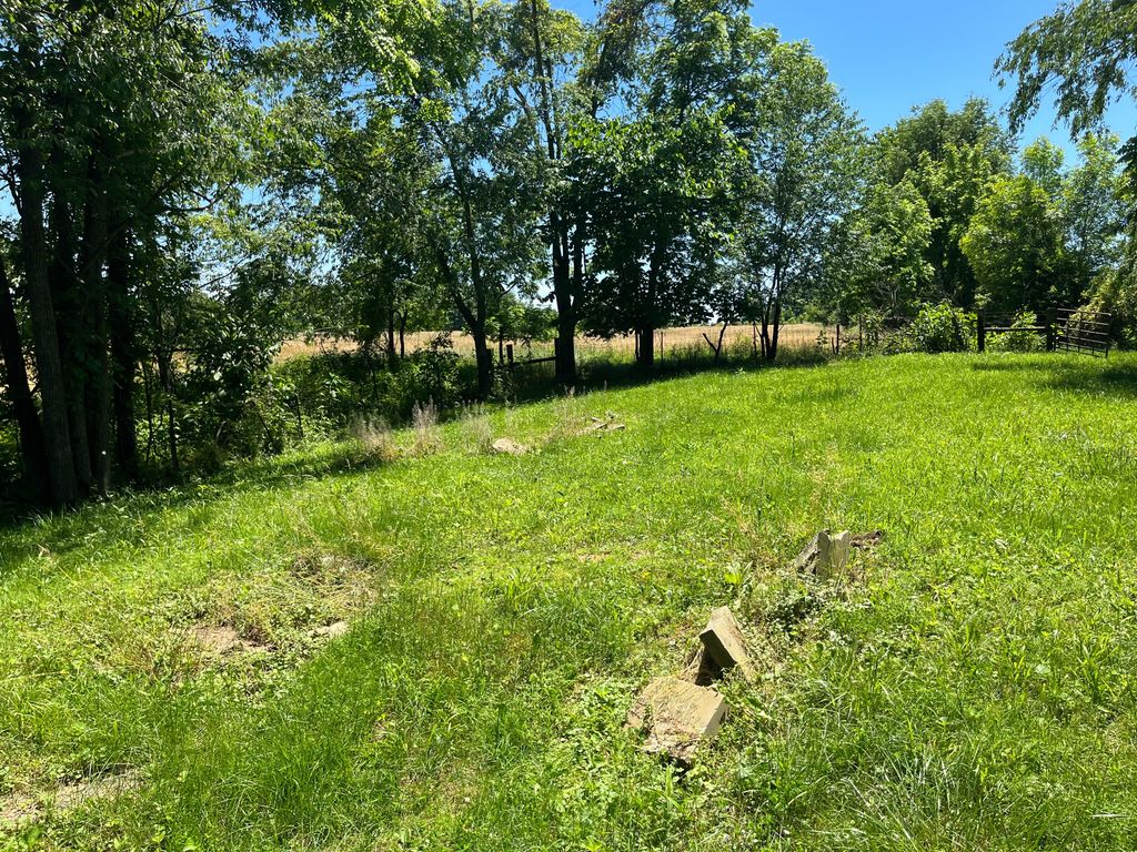
| Description | : | This cemetery is located about three miles south of Russelville off Route 62 and Gooselick Road . .About one mile walk in field. The cemetery is located about 1400 feet east of Township Road 238 about 0.5 miles north of its intersection with Gooselick Road (County Road 36B). The cemetery is located in Jefferson Township, Brown County, Ohio, and is # 1138 (Glaze Cemetery) in “Ohio Cemeteries 1803-2003”, compiled by the Ohio Genealogical Society. The U.S. Geological Survey (USGS) Geographic Names Information System (GNIS) feature ID for the cemetery is 1040203 (Glaze Cemetery). |
frequently asked questions (FAQ):
-
Where is Glaze Cemetery?
Glaze Cemetery is located at Township Road 238 Jefferson Township, Brown County ,Ohio , 45167USA.
-
Glaze Cemetery cemetery's updated grave count on graveviews.com?
0 memorials
-
Where are the coordinates of the Glaze Cemetery?
Latitude: 38.8342300
Longitude: -83.8029280
Nearby Cemetories:
1. Gardner Cemetery
Russellville, Brown County, USA
Coordinate: 38.8330200, -83.7884300
2. Old Russellville Cemetery
Russellville, Brown County, USA
Coordinate: 38.8513985, -83.7878036
3. Devore Family Cemetery
Union Township, Brown County, USA
Coordinate: 38.8053017, -83.8199997
4. Old Redoak Cemetery
Redoak, Brown County, USA
Coordinate: 38.8072014, -83.8289032
5. Associated Reformed Churchyard
Russellville, Brown County, USA
Coordinate: 38.8657990, -83.7822037
6. Red Oak Presbyterian Church Cemetery
Redoak, Brown County, USA
Coordinate: 38.7967682, -83.7957916
7. Shaw Cemetery
Russellville, Brown County, USA
Coordinate: 38.8737950, -83.7898490
8. Baird Cemetery
Russellville, Brown County, USA
Coordinate: 38.8594360, -83.7610016
9. Linwood Cemetery
Russellville, Brown County, USA
Coordinate: 38.8671989, -83.7671967
10. Associated Reformed Churchyard
Russellville, Brown County, USA
Coordinate: 38.8596110, -83.7554720
11. Dye Cemetery
Brown County, USA
Coordinate: 38.8586006, -83.8516998
12. Hillman Ridge Cemetery
Georgetown, Brown County, USA
Coordinate: 38.8353004, -83.8621979
13. Reeves Family Cemetery
Redoak, Brown County, USA
Coordinate: 38.7961000, -83.7608300
14. West-Evans Cemetery
Russellville, Brown County, USA
Coordinate: 38.8332750, -83.7333830
15. Evans Cemetery
Decatur, Brown County, USA
Coordinate: 38.8177470, -83.7354080
16. Liberty Chapel Cemetery
Decatur, Brown County, USA
Coordinate: 38.8171997, -83.7350006
17. Beasley Family Cemetery
Union Township, Brown County, USA
Coordinate: 38.7784910, -83.7791710
18. Jennings Family Cemetery
Georgetown, Brown County, USA
Coordinate: 38.8641982, -83.8689216
19. Wardlow Cemetery
Franklin Township, Brown County, USA
Coordinate: 38.8944016, -83.8358002
20. Martin Farm Cemetery
Ripley, Brown County, USA
Coordinate: 38.7825450, -83.8545640
21. Abbott Burying Ground
Arnheim, Brown County, USA
Coordinate: 38.8944360, -83.8361210
22. Martin Cemetery
Aberdeen, Brown County, USA
Coordinate: 38.7818985, -83.8546982
23. Reeves Cemetery
Decatur, Brown County, USA
Coordinate: 38.7913780, -83.7370450
24. Bohrer Cemetery
Franklin Township, Brown County, USA
Coordinate: 38.9019012, -83.8257980