| Memorials | : | 0 |
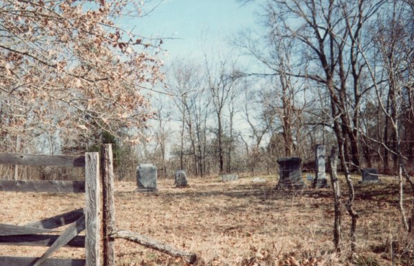
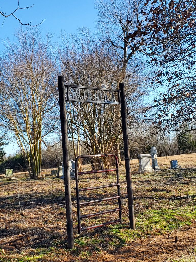
| Location | : | Hugo, Choctaw County, USA |
| Coordinate | : | 34.0016100, -95.6042800 |
| Description | : | West of Hugo on U.S. Highway approximately 6 miles. South on County Road 4170 approximately 2.4 miles. Cemetery located on east side of road on private property about 1/4 mile from roadway. Entrance through gates south of Bates residence. Usually identified on maps and on GNIS as Cold Springs. |
frequently asked questions (FAQ):
-
Where is Roebuck Cemetery?
Roebuck Cemetery is located at Hugo, Choctaw County ,Oklahoma ,USA.
-
Roebuck Cemetery cemetery's updated grave count on graveviews.com?
0 memorials
-
Where are the coordinates of the Roebuck Cemetery?
Latitude: 34.0016100
Longitude: -95.6042800
Nearby Cemetories:
1. Cold Springs Cemetery
Choctaw County, USA
Coordinate: 33.9741670, -95.6036110
2. Coon Family Cemetery
Soper, Choctaw County, USA
Coordinate: 34.0033900, -95.6466900
3. Goodland Cemetery
Choctaw County, USA
Coordinate: 33.9832993, -95.5580978
4. Poor Farm Cemetery
Choctaw County, USA
Coordinate: 33.9869970, -95.5508000
5. Gay Cemetery
Choctaw County, USA
Coordinate: 33.9537020, -95.5908570
6. Sweet Hill Cemetery
Choctaw County, USA
Coordinate: 33.9536280, -95.5734990
7. Hart Indian Cemetery
Choctaw County, USA
Coordinate: 34.0370300, -95.6680900
8. Bohannon-Davis Plot
Hugo, Choctaw County, USA
Coordinate: 34.0190500, -95.5245200
9. Crosley Cemetery
Hugo, Choctaw County, USA
Coordinate: 33.9877670, -95.5127330
10. Springs Chapel Cemetery
Hugo, Choctaw County, USA
Coordinate: 33.9907990, -95.5111008
11. Mount Olive Cemetery
Hugo, Choctaw County, USA
Coordinate: 33.9680840, -95.5187580
12. Spring Family Cemetery
Hugo, Choctaw County, USA
Coordinate: 33.9940000, -95.5040000
13. Soper Cemetery
Soper, Choctaw County, USA
Coordinate: 34.0339012, -95.7043991
14. Mount Olivet Cemetery
Hugo, Choctaw County, USA
Coordinate: 33.9981003, -95.4955978
15. Long Creek Cemetery
Hugo, Choctaw County, USA
Coordinate: 34.0824700, -95.5389800
16. New Bluff Cemetery
Bluff, Choctaw County, USA
Coordinate: 33.9313700, -95.6937400
17. Pisachubbee Cemetery
Speer, Choctaw County, USA
Coordinate: 34.0960361, -95.5569440
18. Speer Cemetery
Choctaw County, USA
Coordinate: 34.0986700, -95.5647500
19. Sand Bluff Cemetery
Sand Bluff, Choctaw County, USA
Coordinate: 34.0616000, -95.5039000
20. Bluff Cemetery
Bluff, Choctaw County, USA
Coordinate: 33.9170280, -95.6746900
21. Grant Cemetery
Grant, Choctaw County, USA
Coordinate: 33.9392014, -95.4972000
22. Clark Family Cemetery
Choctaw County, USA
Coordinate: 34.1112100, -95.5843500
23. Hotchkin-Ussery Cemetery
Choctaw County, USA
Coordinate: 33.9029300, -95.6823600
24. Walker Cemetery
Nelson, Choctaw County, USA
Coordinate: 34.1149000, -95.6584000


