
| Memorials | : | 3 |
| Location | : | Randall, Morrison County, USA |
| Coordinate | : | 46.1286011, -94.5136032 |
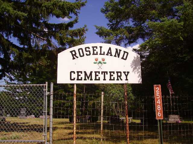
| Description | : | In December 1903, B. R. (Ben) Eide and Anne Eide sold to the town of Clough (to the Scandinavian Cemetery Association) an area of land for a cemetery for the sum of one dollar. The name recorded then was Roselund Cemetery and it has now become Roseland Cemetery. The land was provided via Quit Claim Deed Record No. 33 dated December 2, 1903. The cemetery is located in the very northwest corner of SW1/4 Section 30 Township 131 North Range 30 West. The deed gave the cemetery dimensions as 16 rods (264 feet) by 10 rods (165 feet) for... Read More |
frequently asked questions (FAQ):
-
Where is Roseland Cemetery?
Roseland Cemetery is located at 25486 70th Avenue North Randall, Morrison County ,Minnesota ,USA.
-
Roseland Cemetery cemetery's updated grave count on graveviews.com?
3 memorials
-
Where are the coordinates of the Roseland Cemetery?
Latitude: 46.1286011
Longitude: -94.5136032
Nearby Cemetories:
1. Randall Cemetery
Randall, Morrison County, USA
Coordinate: 46.0910988, -94.5143967
2. Oak Hill Cemetery
Randall, Morrison County, USA
Coordinate: 46.0855290, -94.5185410
3. Cushing Union Cemetery
Cushing, Morrison County, USA
Coordinate: 46.1409580, -94.5755700
4. Saint James Catholic Cemetery
Randall, Morrison County, USA
Coordinate: 46.0830994, -94.4933014
5. Scandia Valley Cemetery West
Cushing, Morrison County, USA
Coordinate: 46.2138890, -94.5400000
6. Ogema Point Cemetery
Cushing, Morrison County, USA
Coordinate: 46.2146988, -94.5393982
7. DeMoss Cemetery
Morrison County, USA
Coordinate: 46.0497600, -94.5933380
8. Darling Cemetery
Little Falls, Morrison County, USA
Coordinate: 46.0343000, -94.4430100
9. Fish Lake Cemetery
Darling, Morrison County, USA
Coordinate: 46.0637900, -94.3893300
10. Lutheran Cemetery
Morrison County, USA
Coordinate: 46.2378490, -94.5171960
11. Bethany Parkertown Cemetery
Randall, Morrison County, USA
Coordinate: 46.0206100, -94.5557800
12. Green Prairie Cemetery
Morrison County, USA
Coordinate: 46.1022400, -94.3527800
13. Fort Ripley Cemetery
Fort Ripley, Crow Wing County, USA
Coordinate: 46.1761000, -94.3615700
14. Swedish Mission Church Cemetery
Morrison County, USA
Coordinate: 46.0283012, -94.4169006
15. Rail Prairie Union Cemetery
Morrison County, USA
Coordinate: 46.2519900, -94.4962200
16. Minnesota State Veterans Cemetery
Little Falls, Morrison County, USA
Coordinate: 46.0752296, -94.3305206
17. Twin Lakes Cemetery
Little Falls, Morrison County, USA
Coordinate: 45.9878300, -94.5003700
18. Mission Covenant Cemetery
Little Falls, Morrison County, USA
Coordinate: 45.9883003, -94.5569000
19. Zion Lutheran Cemetery
Little Elk Township, Todd County, USA
Coordinate: 46.0636820, -94.6991380
20. Roden Family Cemetery
Long Prairie, Todd County, USA
Coordinate: 46.0416970, -94.6862120
21. Hamilton-Farrand Cemetery
Belle Prairie, Morrison County, USA
Coordinate: 46.0357050, -94.3374110
22. Oak Hill Cemetery
Crow Wing County, USA
Coordinate: 46.2158012, -94.3285980
23. Holy Family Church Cemetery
Belle Prairie, Morrison County, USA
Coordinate: 46.0325570, -94.3377920
24. Dixon Cemetery
Fort Ripley, Crow Wing County, USA
Coordinate: 46.2154930, -94.3246630