
| Memorials | : | 767 |
| Location | : | Chorlton-on-Medlock, Metropolitan Borough of Manchester, England |
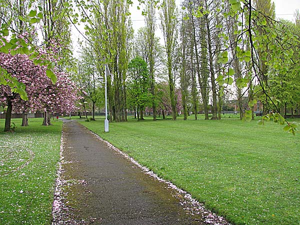
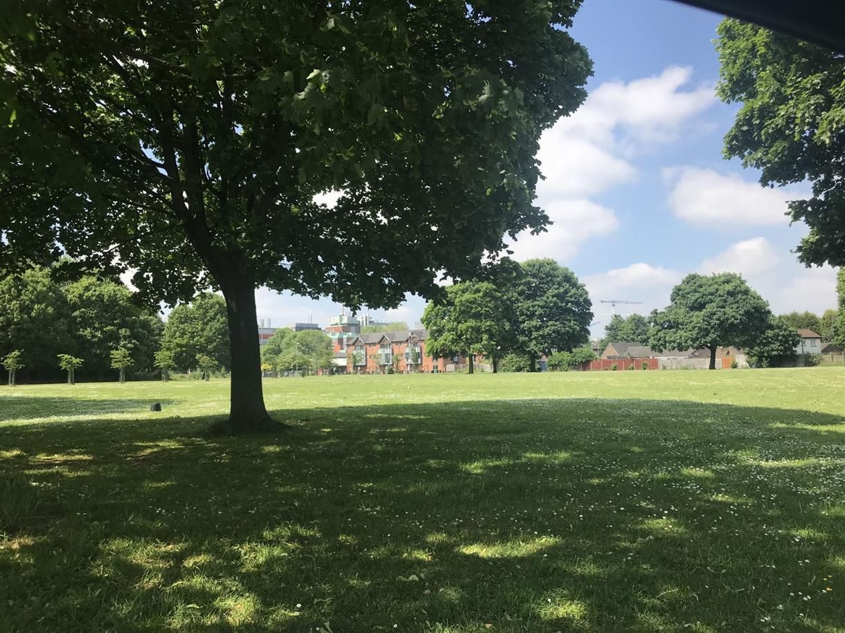
| Description | : | Rusholme Rd Cemetery (the Dissenter’s burial ground) opened in 1821. The last burial was in 1933. It was converted to a park , still in existence, which is known as Gartside Gardens. |
frequently asked questions (FAQ):
-
Where is Rusholme Road Cemetery?
Rusholme Road Cemetery is located at No GPS information available Add GPSRushlome Road Chorlton-on-Medlock, Metropolitan Borough of Manchester ,Greater Manchester ,England.
-
Rusholme Road Cemetery cemetery's updated grave count on graveviews.com?
767 memorials
Nearby Cemetories:
1. Chorlton Green Cemetery
Chorlton-Cum-Hardy, Metropolitan Borough of Manchester, England
Coordinate: 53.4306520, -2.2669990
2. Southern Cemetery
Chorlton-Cum-Hardy, Metropolitan Borough of Manchester, England
Coordinate: 53.5062710, -2.2179570
3. St Clement Churchyard
Chorlton-Cum-Hardy, Metropolitan Borough of Manchester, England
4. Christchurch Harpurhey Churchyard
Harpurhey, Metropolitan Borough of Manchester, England
5. Cross Street Chapel
Manchester, Metropolitan Borough of Manchester, England
6. Crumpsall Jewish Cemetery
Manchester, Metropolitan Borough of Manchester, England
7. Friends Burial Ground (Defunct)
Manchester, Metropolitan Borough of Manchester, England
Coordinate: 53.4817542, -2.2457527
8. Friends Graveyard Deansgate
Manchester, Metropolitan Borough of Manchester, England
9. Gorton Cemetery
Manchester, Metropolitan Borough of Manchester, England
Coordinate: 53.4777660, -2.2453600
10. Great Bridgewater St. Wesleyan Methodist Churchyard
Manchester, Metropolitan Borough of Manchester, England
11. St. John Churchyard, Higher Broughton
Manchester, Metropolitan Borough of Manchester, England
12. Manchester Cathedral
Manchester, Metropolitan Borough of Manchester, England
Coordinate: 53.4780043, -2.2526487
13. Manchester Crematorium
Manchester, Metropolitan Borough of Manchester, England
Coordinate: 53.4306520, -2.2669990
14. Manchester General Cemetery
Manchester, Metropolitan Borough of Manchester, England
Coordinate: 53.5062710, -2.2179570
15. Patricroft
Manchester, Metropolitan Borough of Manchester, England
16. Pauper Cemetery
Manchester, Metropolitan Borough of Manchester, England
17. Platt Chapel
Manchester, Metropolitan Borough of Manchester, England
18. Saint Andrews Parish
Manchester, Metropolitan Borough of Manchester, England
19. Saint Ann's Churchyard
Manchester, Metropolitan Borough of Manchester, England
Coordinate: 53.4817542, -2.2457527
20. Saint James Churchyard
Manchester, Metropolitan Borough of Manchester, England
21. Saint Peters Street
Manchester, Metropolitan Borough of Manchester, England
Coordinate: 53.4777660, -2.2453600
22. St Andrew's Churchyard
Manchester, Metropolitan Borough of Manchester, England
23. St John the Baptist Parish Church
Manchester, Metropolitan Borough of Manchester, England
24. St John's Churchyard
Manchester, Metropolitan Borough of Manchester, England
Coordinate: 53.4780043, -2.2526487