
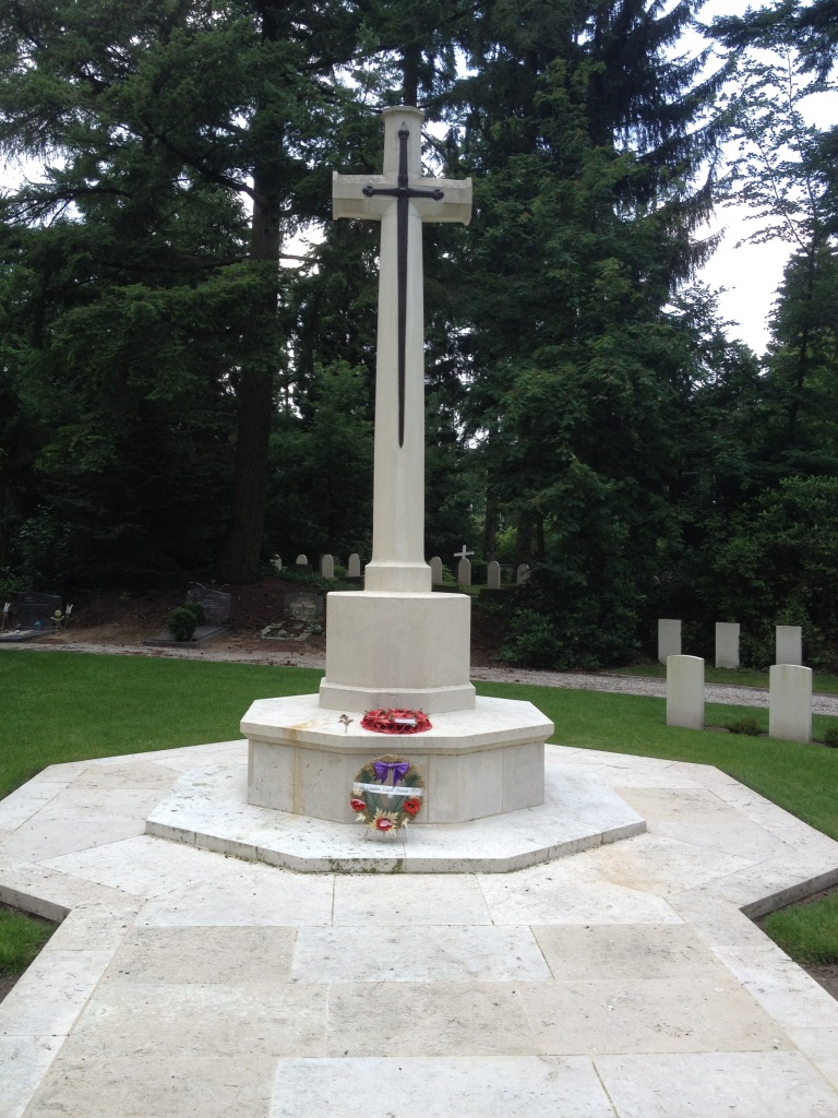
| Memorials | : | 1 |
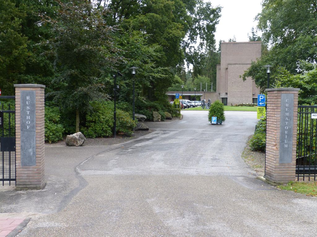
| Location | : | Oud-Leusden, Leusden Municipality, Netherlands |
| Coordinate | : | 52.1288100, 5.3758500 |
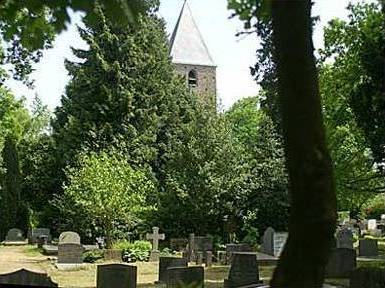
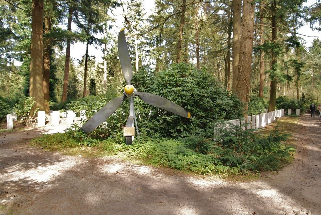
| Description | : | Amersfoort is a town 50 kilometres south-east of Amsterdam. The cemetery is about 2.5 kilometres from the railway station. |
frequently asked questions (FAQ):
-
Where is Rusthof Cemetery?
Rusthof Cemetery is located at Dodeweg 31 Oud-Leusden, Leusden Municipality ,Utrecht , 3832 RENetherlands.
-
Rusthof Cemetery cemetery's updated grave count on graveviews.com?
1 memorials
-
Where are the coordinates of the Rusthof Cemetery?
Latitude: 52.1288100
Longitude: 5.3758500

Nearby Cemetories:
1. Algemene Begraafplaats Oud Leusden
Oud-Leusden, Leusden Municipality, Netherlands
Coordinate: 52.1310600, 5.3721800
2. Amersfoort Concentration Camp
Leusden Municipality, Netherlands
Coordinate: 52.1322500, 5.3652800
3. Amersfoort Roman Catholic Cemetery
Amersfoort, Amersfoort Municipality, Netherlands
Coordinate: 52.1509300, 5.3818700
4. Joodse Begraafplaats Soesterweg
Amersfoort, Amersfoort Municipality, Netherlands
Coordinate: 52.1570050, 5.3699520
5. Amersfoort Soesterkwartier Cemetery
Amersfoort, Amersfoort Municipality, Netherlands
Coordinate: 52.1575100, 5.3689900
6. Oode Joodse begraafplaats Bloemendalsestraat
Amersfoort Municipality, Netherlands
Coordinate: 52.1601500, 5.3896600
7. Woudenberg General Cemetery
Woudenberg, Woudenberg Municipality, Netherlands
Coordinate: 52.0823400, 5.4079800
8. Begraafplaats Soesterberg
Soest Municipality, Netherlands
Coordinate: 52.1091680, 5.2883344
9. Algemene Begraafplaats
Soest, Soest Municipality, Netherlands
Coordinate: 52.1712700, 5.3074300
10. Katholieke Begraafplaats
Maarn, Utrechtse Heuvelrug Municipality, Netherlands
Coordinate: 52.0673700, 5.3790400
11. Hoevelaken Begraafplaats
Hoevelaken, Nijkerk Municipality, Netherlands
Coordinate: 52.1785700, 5.4530100
12. Begraafplaats Zeister Bosrust
Zeist, Zeist Municipality, Netherlands
Coordinate: 52.0898060, 5.2776180
13. Nieuwe Begraafplaats
Driebergen-Rijsenburg, Utrechtse Heuvelrug Municipality, Netherlands
Coordinate: 52.0641100, 5.3100900
14. Doorn Nieuwe Algemene Begraafplaats
Doorn, Utrechtse Heuvelrug Municipality, Netherlands
Coordinate: 52.0484200, 5.3203200
15. Baarn Nieuwe Begraafplaats
Baarn, Baarn Municipality, Netherlands
Coordinate: 52.2031500, 5.2909500
16. Oude Algemene Begraafplaats
Doorn, Utrechtse Heuvelrug Municipality, Netherlands
Coordinate: 52.0397100, 5.3459400
17. Oude Algemene Begraafplaats
Zeist, Zeist Municipality, Netherlands
Coordinate: 52.0910100, 5.2400300
18. Joodse Begraafplaats Nijkerkerveen
Nijkerkerveen, Nijkerk Municipality, Netherlands
Coordinate: 52.2064170, 5.4693330
19. R.K. Begraafplaats Drieklinken
Driebergen-Rijsenburg, Utrechtse Heuvelrug Municipality, Netherlands
Coordinate: 52.0535356, 5.2747502
20. Huis Doorn
Doorn, Utrechtse Heuvelrug Municipality, Netherlands
Coordinate: 52.0314140, 5.3386660
21. Baarn Oude Begraafplaats
Baarn, Baarn Municipality, Netherlands
Coordinate: 52.2155600, 5.2840900
22. Lage-Vuursche Kerkhof
Lage-Vuursche, Baarn Municipality, Netherlands
Coordinate: 52.1805100, 5.2238600
23. Bilthoven Den en Rust Cemetery
Bilthoven, De Bilt Municipality, Netherlands
Coordinate: 52.1407776, 5.2003312
24. Nijkerk Begraafplaats
Nijkerk, Nijkerk Municipality, Netherlands
Coordinate: 52.2188900, 5.4803400