
| Memorials | : | 0 |
| Location | : | Leusden Municipality, Netherlands |
| Phone | : | 031-033-4613129 |
| Website | : | www.kampamersfoort.nl/en |
| Coordinate | : | 52.1322500, 5.3652800 |
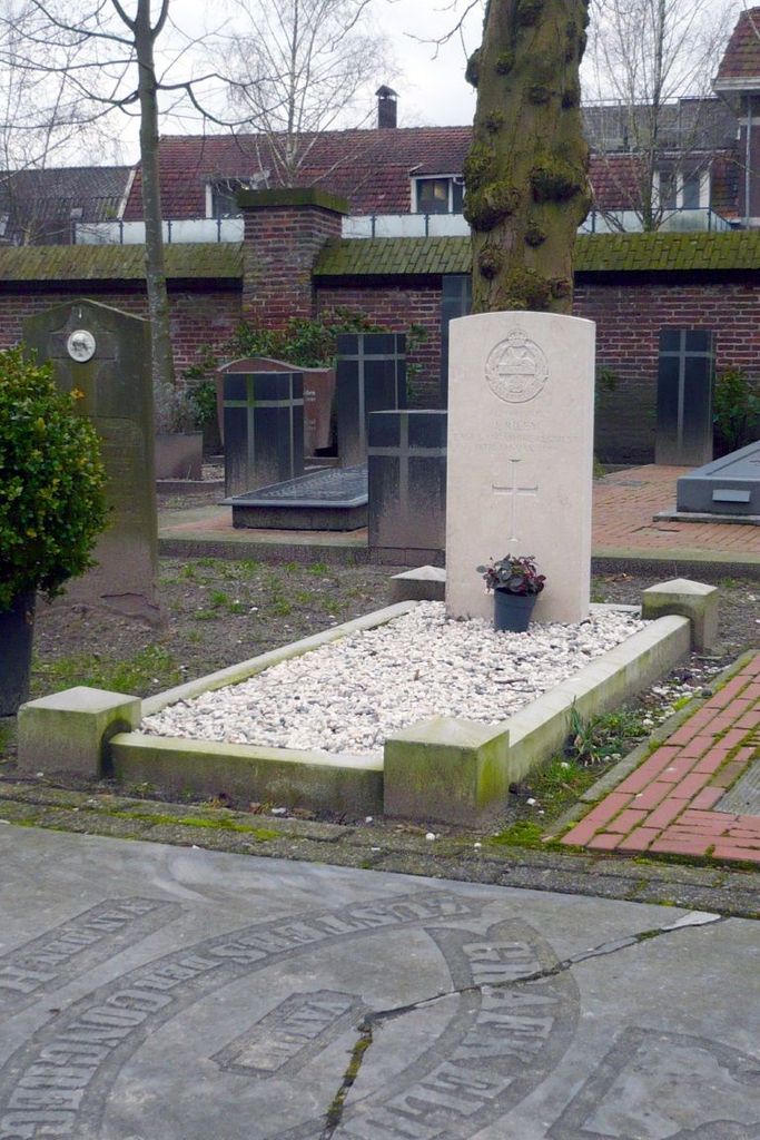
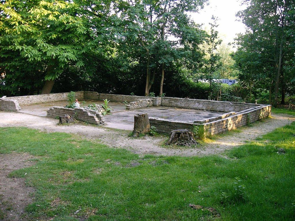
| Description | : | Amersfoort concentration camp (Dutch: Kamp Amersfoort, German: Durchgangslager Amersfoort) was a Nazi concentration camp in Amersfoort in the Netherlands. The official name was "Polizeiliches Durchgangslager Amersfoort", P.D.A. or Police Transitcamp Amersfoort. During the years of 1941 to 1945, over 35,000 prisoners were kept here. The camp was situated in the southern part of Amersfoort, on the city limit between Amersfoort and Leusden in central Netherlands. |
frequently asked questions (FAQ):
-
Where is Amersfoort Concentration Camp?
Amersfoort Concentration Camp is located at Loes van Overeemlaan 19 Leusden Municipality ,Utrecht , 3832 RZNetherlands.
-
Amersfoort Concentration Camp cemetery's updated grave count on graveviews.com?
0 memorials
-
Where are the coordinates of the Amersfoort Concentration Camp?
Latitude: 52.1322500
Longitude: 5.3652800
Nearby Cemetories:
1. Algemene Begraafplaats Oud Leusden
Oud-Leusden, Leusden Municipality, Netherlands
Coordinate: 52.1310600, 5.3721800
2. Rusthof Cemetery
Oud-Leusden, Leusden Municipality, Netherlands
Coordinate: 52.1288100, 5.3758500
3. Amersfoort Roman Catholic Cemetery
Amersfoort, Amersfoort Municipality, Netherlands
Coordinate: 52.1509300, 5.3818700
4. Joodse Begraafplaats Soesterweg
Amersfoort, Amersfoort Municipality, Netherlands
Coordinate: 52.1570050, 5.3699520
5. Amersfoort Soesterkwartier Cemetery
Amersfoort, Amersfoort Municipality, Netherlands
Coordinate: 52.1575100, 5.3689900
6. Oode Joodse begraafplaats Bloemendalsestraat
Amersfoort Municipality, Netherlands
Coordinate: 52.1601500, 5.3896600
7. Begraafplaats Soesterberg
Soest Municipality, Netherlands
Coordinate: 52.1091680, 5.2883344
8. Algemene Begraafplaats
Soest, Soest Municipality, Netherlands
Coordinate: 52.1712700, 5.3074300
9. Woudenberg General Cemetery
Woudenberg, Woudenberg Municipality, Netherlands
Coordinate: 52.0823400, 5.4079800
10. Katholieke Begraafplaats
Maarn, Utrechtse Heuvelrug Municipality, Netherlands
Coordinate: 52.0673700, 5.3790400
11. Begraafplaats Zeister Bosrust
Zeist, Zeist Municipality, Netherlands
Coordinate: 52.0898060, 5.2776180
12. Hoevelaken Begraafplaats
Hoevelaken, Nijkerk Municipality, Netherlands
Coordinate: 52.1785700, 5.4530100
13. Nieuwe Begraafplaats
Driebergen-Rijsenburg, Utrechtse Heuvelrug Municipality, Netherlands
Coordinate: 52.0641100, 5.3100900
14. Baarn Nieuwe Begraafplaats
Baarn, Baarn Municipality, Netherlands
Coordinate: 52.2031500, 5.2909500
15. Oude Algemene Begraafplaats
Zeist, Zeist Municipality, Netherlands
Coordinate: 52.0910100, 5.2400300
16. Doorn Nieuwe Algemene Begraafplaats
Doorn, Utrechtse Heuvelrug Municipality, Netherlands
Coordinate: 52.0484200, 5.3203200
17. Oude Algemene Begraafplaats
Doorn, Utrechtse Heuvelrug Municipality, Netherlands
Coordinate: 52.0397100, 5.3459400
18. R.K. Begraafplaats Drieklinken
Driebergen-Rijsenburg, Utrechtse Heuvelrug Municipality, Netherlands
Coordinate: 52.0535356, 5.2747502
19. Baarn Oude Begraafplaats
Baarn, Baarn Municipality, Netherlands
Coordinate: 52.2155600, 5.2840900
20. Joodse Begraafplaats Nijkerkerveen
Nijkerkerveen, Nijkerk Municipality, Netherlands
Coordinate: 52.2064170, 5.4693330
21. Lage-Vuursche Kerkhof
Lage-Vuursche, Baarn Municipality, Netherlands
Coordinate: 52.1805100, 5.2238600
22. Bilthoven Den en Rust Cemetery
Bilthoven, De Bilt Municipality, Netherlands
Coordinate: 52.1407776, 5.2003312
23. Huis Doorn
Doorn, Utrechtse Heuvelrug Municipality, Netherlands
Coordinate: 52.0314140, 5.3386660
24. Bilthoven Begraafplaats Brandenburg
Bilthoven, De Bilt Municipality, Netherlands
Coordinate: 52.1174800, 5.1856800