
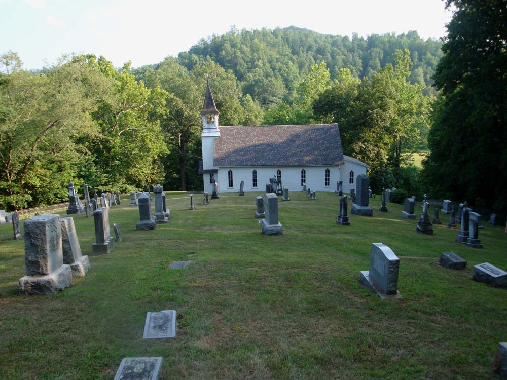
| Memorials | : | 7 |
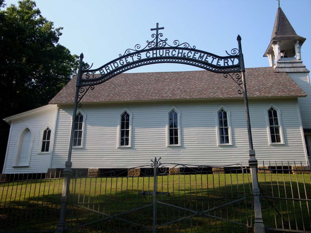
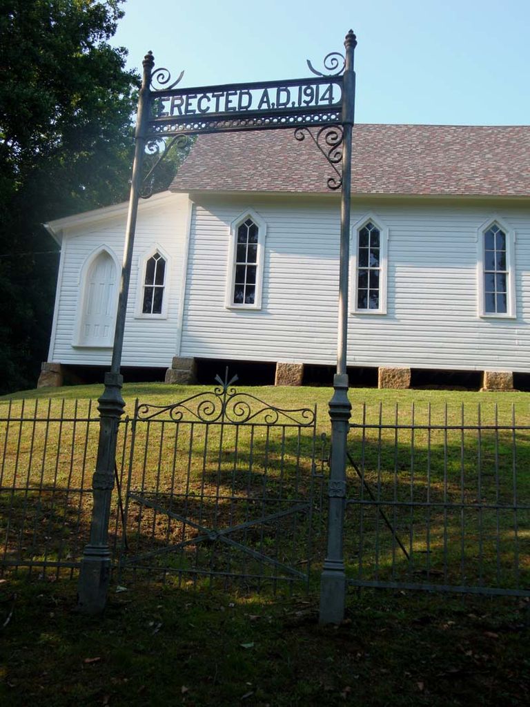
| Location | : | Weston, Lewis County, USA |
| Coordinate | : | 38.9319400, -80.5572970 |
frequently asked questions (FAQ):
-
Where is Saint Bridget's Church Cemetery?
Saint Bridget's Church Cemetery is located at Weston, Lewis County ,West Virginia ,USA.
-
Saint Bridget's Church Cemetery cemetery's updated grave count on graveviews.com?
7 memorials
-
Where are the coordinates of the Saint Bridget's Church Cemetery?
Latitude: 38.9319400
Longitude: -80.5572970
Nearby Cemetories:
1. Swecker Cemetery
Roanoke, Lewis County, USA
Coordinate: 38.9428950, -80.5282380
2. Finster Chapel Cemetery
Peterson, Lewis County, USA
Coordinate: 38.9300003, -80.5999985
3. Oak Grove Cemetery
Lewis County, USA
Coordinate: 38.9641390, -80.5326100
4. Peterson Village Cemetery
Peterson, Lewis County, USA
Coordinate: 38.8938270, -80.5400510
5. Queen Family Cemetery
Copley, Lewis County, USA
Coordinate: 38.9499000, -80.6130000
6. Montgomery Cemetery
Bealls Mills, Lewis County, USA
Coordinate: 38.9648890, -80.6035400
7. Bailey Cemetery
Weston, Lewis County, USA
Coordinate: 38.9759270, -80.5286020
8. Pumphrey Cemetery
Orlando, Lewis County, USA
Coordinate: 38.9275880, -80.6216500
9. Heater Cemetery
Burnsville, Braxton County, USA
Coordinate: 38.9024560, -80.6100370
10. Briar Point Cemetery
Walkersville, Lewis County, USA
Coordinate: 38.9438170, -80.4905950
11. Paul T Mitchell Cemetery
Roanoke, Lewis County, USA
Coordinate: 38.9437210, -80.4905340
12. Fairview Cemetery
Roanoke, Lewis County, USA
Coordinate: 38.9306000, -80.4847000
13. Whitesell Cemetery
Lewis County, USA
Coordinate: 38.9307760, -80.4844406
14. Mick Cemetery
Gilmer County, USA
Coordinate: 38.9157200, -80.6316400
15. Jacksonville Cemetery
Weston, Lewis County, USA
Coordinate: 38.8919890, -80.4935740
16. Saint Bernard Church Cemetery
Weston, Lewis County, USA
Coordinate: 38.9928000, -80.5926940
17. William L. Smith Cemetery
Roanoke, Lewis County, USA
Coordinate: 38.9228820, -80.4715130
18. Rockford-Pletcher Cemetery (Defunct)
Lewis County, USA
Coordinate: 38.9817009, -80.4963989
19. Clover Fork Cemetery
Orlando, Lewis County, USA
Coordinate: 38.8583500, -80.5774260
20. Ward Cemetery
Lewis County, USA
Coordinate: 38.9975860, -80.5051990
21. Harrison Grove Cemetery
Lewis County, USA
Coordinate: 39.0107994, -80.5586014
22. Tumbling Cemetery
Gilmer County, USA
Coordinate: 38.9085999, -80.6594009
23. Rittenhouse Cemetery
Walkersville, Lewis County, USA
Coordinate: 38.8812700, -80.4730520
24. Simons Cemetery
Walkersville, Lewis County, USA
Coordinate: 38.8806490, -80.4731390