
| Memorials | : | 0 |
| Location | : | Greatham, Hartlepool Unitary Authority, England |
| Coordinate | : | 54.6402000, -1.2387000 |
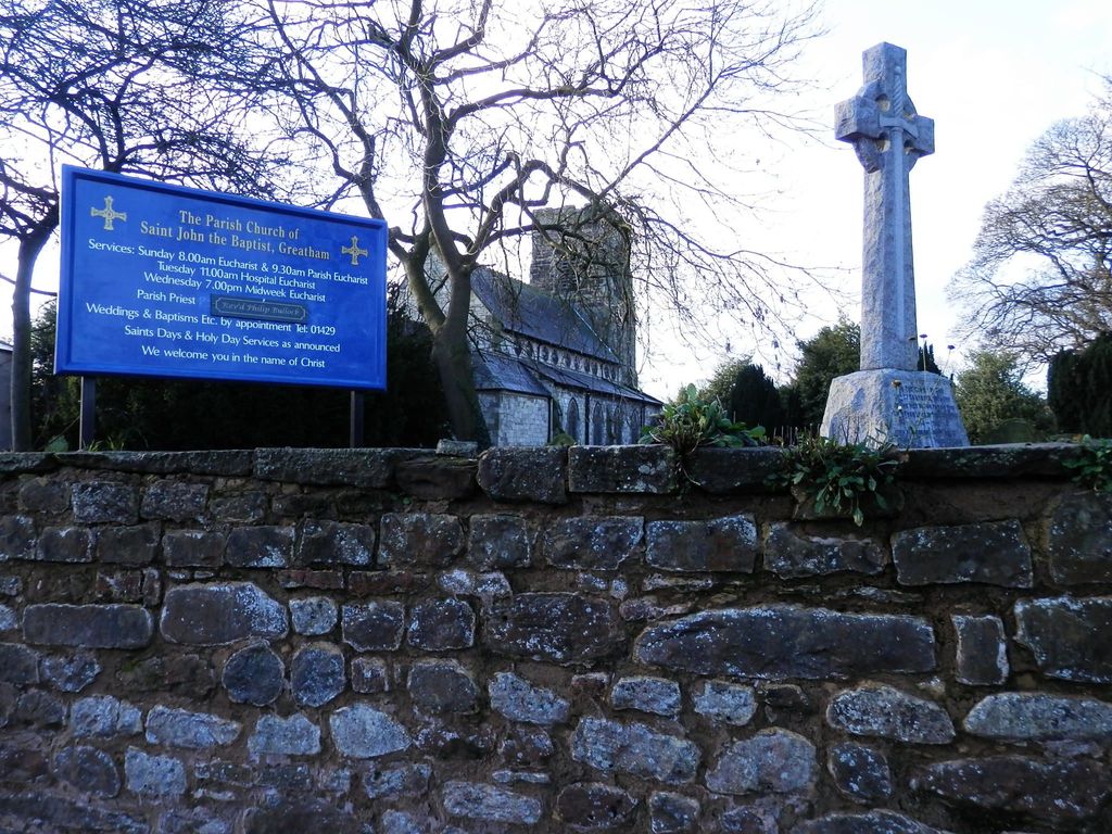
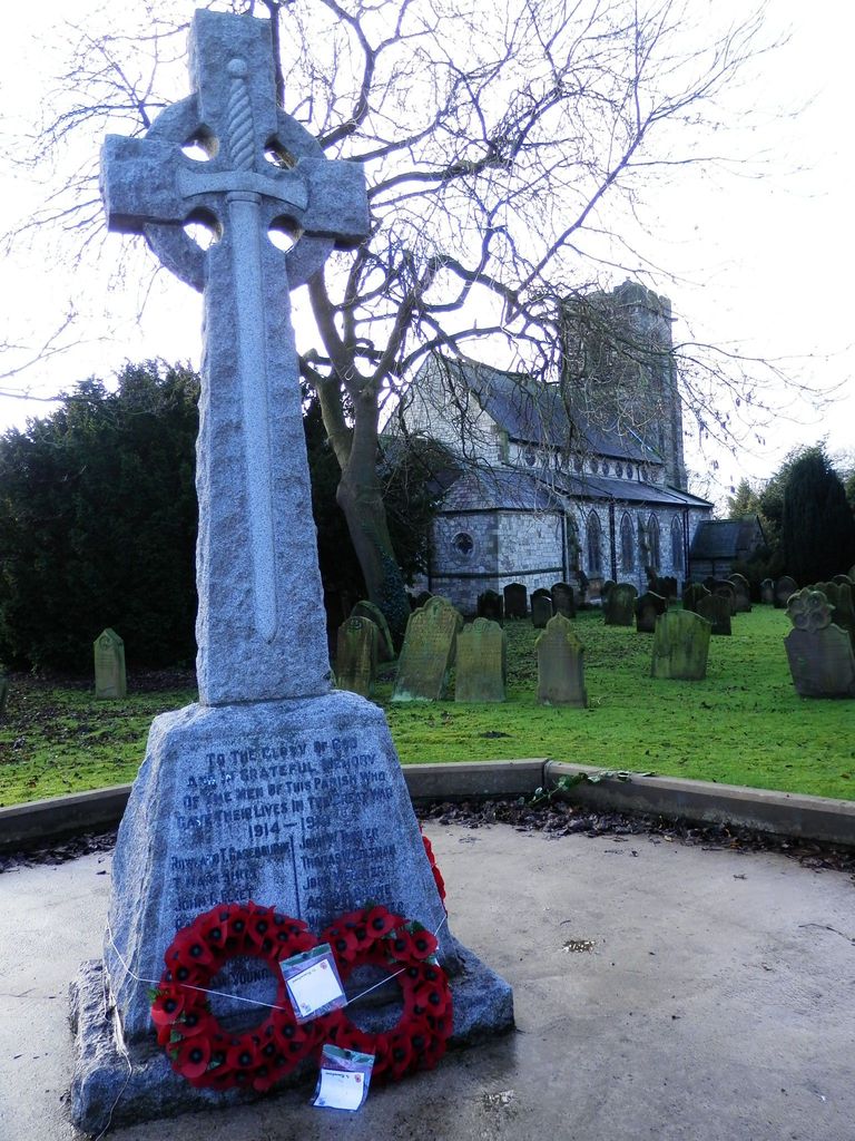
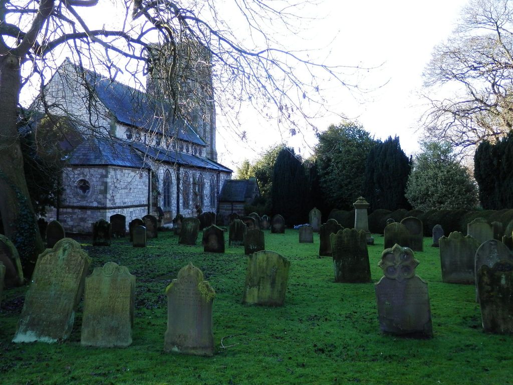
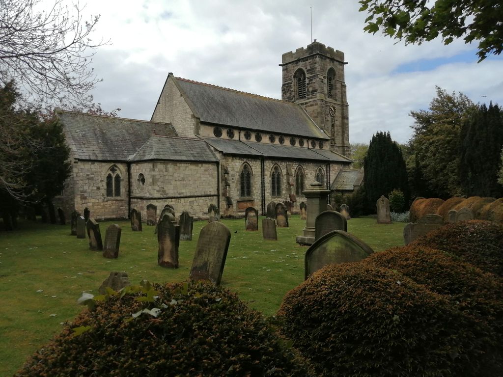
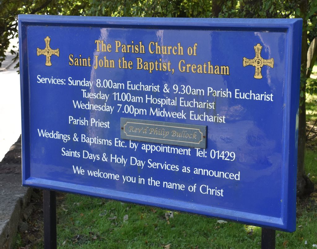
| Description | : | The church of Saint John the Baptist in Greatham, County Durham, should not be confused with Saint John the Baptist in Greatham, Hampshire. The parish church of Saint John the Baptist was built over the foundations of a Saxon building by Bishop Robert Stitchill of Durham in 1270. It was rebuilt in 1792, and additions made in 1869 and 1881. There is small churchyard surrounding the church. Most headstones date from the 18th and 19th centuries. Although some interments have taken place in the late 20th and early 21st centuries, lack of space necessitates most recent burials taking place in Greatham... Read More |
frequently asked questions (FAQ):
-
Where is Saint John the Baptist Churchyard?
Saint John the Baptist Churchyard is located at West Row Greatham, Hartlepool Unitary Authority ,County Durham , TS25 2GWEngland.
-
Saint John the Baptist Churchyard cemetery's updated grave count on graveviews.com?
0 memorials
-
Where are the coordinates of the Saint John the Baptist Churchyard?
Latitude: 54.6402000
Longitude: -1.2387000
Nearby Cemetories:
1. Greatham Cemetery
Greatham, Hartlepool Unitary Authority, England
Coordinate: 54.6385300, -1.2351570
2. Billingham Cemetery
Billingham, Stockton-on-Tees Unitary Authority, England
Coordinate: 54.6177010, -1.2650780
3. Stranton Grange Cemetery and Crematorium
Hartlepool, Hartlepool Unitary Authority, England
Coordinate: 54.6679220, -1.2217610
4. Holy Trinity Churchyard
Seaton Carew, Hartlepool Unitary Authority, England
Coordinate: 54.6587490, -1.1888580
5. Stranton All Saints Churchyard
Hartlepool, Hartlepool Unitary Authority, England
Coordinate: 54.6761760, -1.2212850
6. St. Peter's Churchyard
Wolviston, Stockton-on-Tees Unitary Authority, England
Coordinate: 54.6250820, -1.2977740
7. St John Haverton Hill Churchyard
Haverton Hill, Stockton-on-Tees Unitary Authority, England
Coordinate: 54.5961580, -1.2516480
8. North Cemetery
Hartlepool, Hartlepool Unitary Authority, England
Coordinate: 54.6916990, -1.2228890
9. St Peter's Churchyard
Elwick, Hartlepool Unitary Authority, England
Coordinate: 54.6813620, -1.2982740
10. St Cuthbert Churchyard
Billingham, Stockton-on-Tees Unitary Authority, England
Coordinate: 54.5941830, -1.2931180
11. St Hilda's Churchyard
Middlesbrough, Middlesbrough Unitary Authority, England
Coordinate: 54.5825036, -1.2335990
12. St Hilda Churchyard
Hartlepool, Hartlepool Unitary Authority, England
Coordinate: 54.6953770, -1.1818450
13. St. Mary the Virgin Churchyard
Norton, Stockton-on-Tees Unitary Authority, England
Coordinate: 54.5924790, -1.3163220
14. All Saints Parish
Middlesbrough, Middlesbrough Unitary Authority, England
Coordinate: 54.5741470, -1.2368980
15. West View Cemetery
Hartlepool, Hartlepool Unitary Authority, England
Coordinate: 54.7082400, -1.2329800
16. Spion Kop Municipal Cemetery
Hartlepool, Hartlepool Unitary Authority, England
Coordinate: 54.7068710, -1.2092690
17. Hartlepool Jewish Cemetery
Hartlepool, Hartlepool Unitary Authority, England
Coordinate: 54.7075320, -1.2116410
18. St Mary Magdalene Churchyard
Hart, Hartlepool Unitary Authority, England
Coordinate: 54.7087680, -1.2713930
19. Ayresome Cemetery
Middlesbrough, Middlesbrough Unitary Authority, England
Coordinate: 54.5664300, -1.2411300
20. St. Joseph Roman Catholic Cemetery
North Ormesby, Middlesbrough Unitary Authority, England
Coordinate: 54.5661600, -1.2080500
21. North Ormesby Cemetery
North Ormesby, Middlesbrough Unitary Authority, England
Coordinate: 54.5658300, -1.2058100
22. Linthorpe Cemetery
Linthorpe, Middlesbrough Unitary Authority, England
Coordinate: 54.5602520, -1.2525080
23. Middlesbrough Old Jewish Cemetery
Middlesbrough, Middlesbrough Unitary Authority, England
Coordinate: 54.5598240, -1.2583780
24. Thorntree Roman Catholic Cemetery
Middlesbrough, Middlesbrough Unitary Authority, England
Coordinate: 54.5628810, -1.1884760