
| Memorials | : | 1 |
| Location | : | Hartlepool, Hartlepool Unitary Authority, England |
| Coordinate | : | 54.6679220, -1.2217610 |
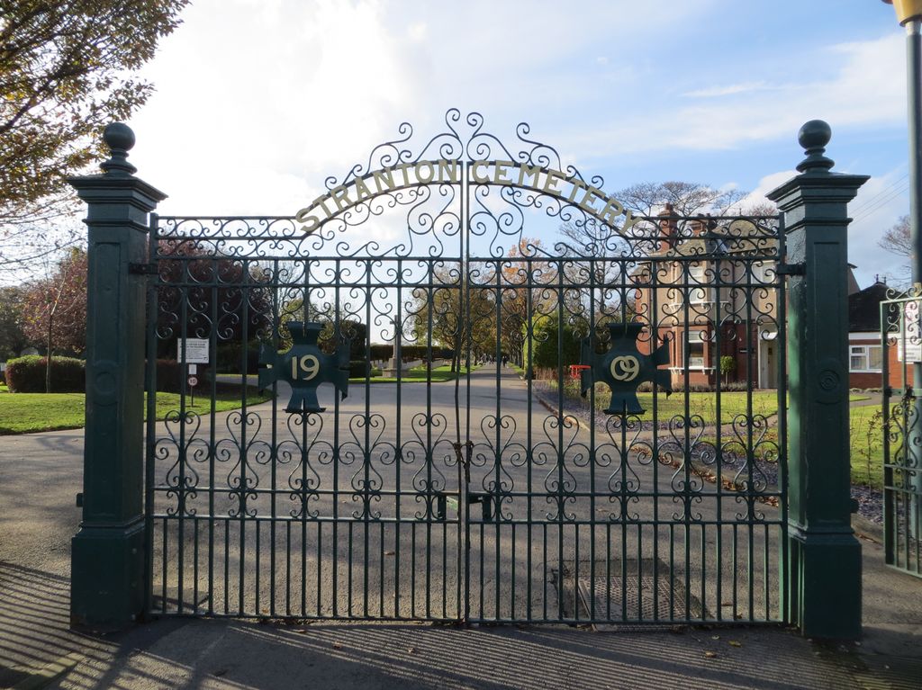
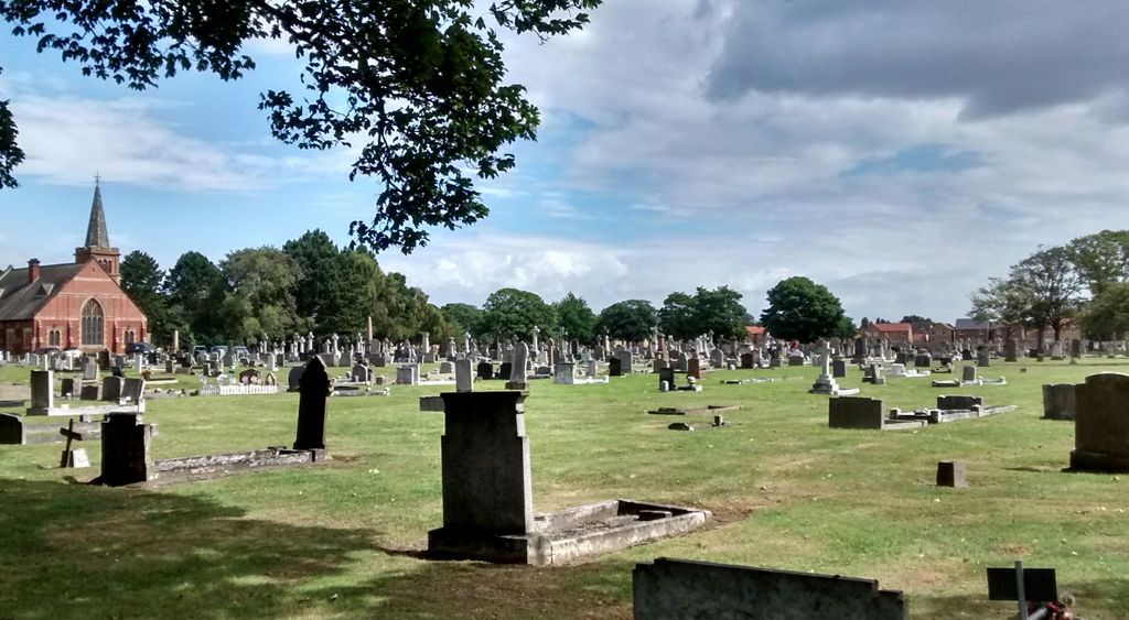
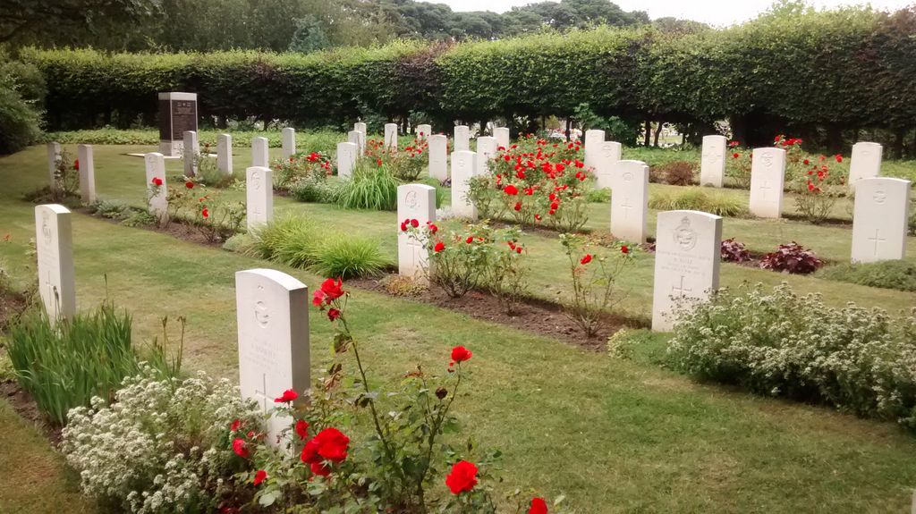
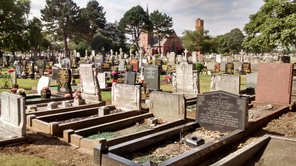
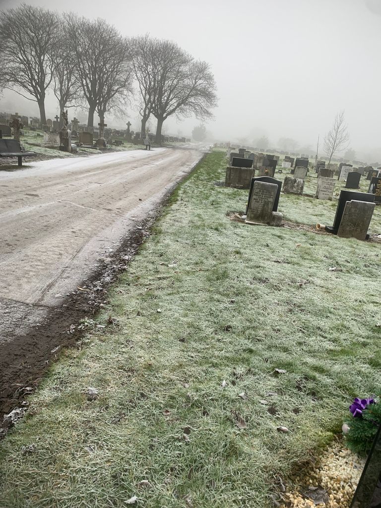
| Description | : | The cemetery opened 1 May 1912, a crematorium was later added and opened 23 April 1954. The cemetery, crematorium, burial and cremation records are maintained by Hartlepool Borough Council |
frequently asked questions (FAQ):
-
Where is Stranton Grange Cemetery and Crematorium?
Stranton Grange Cemetery and Crematorium is located at Tanfield Road Hartlepool, Hartlepool Unitary Authority ,County Durham , TS25 5DDEngland.
-
Stranton Grange Cemetery and Crematorium cemetery's updated grave count on graveviews.com?
1 memorials
-
Where are the coordinates of the Stranton Grange Cemetery and Crematorium?
Latitude: 54.6679220
Longitude: -1.2217610
Nearby Cemetories:
1. Stranton All Saints Churchyard
Hartlepool, Hartlepool Unitary Authority, England
Coordinate: 54.6761760, -1.2212850
2. Holy Trinity Churchyard
Seaton Carew, Hartlepool Unitary Authority, England
Coordinate: 54.6587490, -1.1888580
3. North Cemetery
Hartlepool, Hartlepool Unitary Authority, England
Coordinate: 54.6916990, -1.2228890
4. Saint John the Baptist Churchyard
Greatham, Hartlepool Unitary Authority, England
Coordinate: 54.6402000, -1.2387000
5. Greatham Cemetery
Greatham, Hartlepool Unitary Authority, England
Coordinate: 54.6385300, -1.2351570
6. St Hilda Churchyard
Hartlepool, Hartlepool Unitary Authority, England
Coordinate: 54.6953770, -1.1818450
7. Spion Kop Municipal Cemetery
Hartlepool, Hartlepool Unitary Authority, England
Coordinate: 54.7068710, -1.2092690
8. Hartlepool Jewish Cemetery
Hartlepool, Hartlepool Unitary Authority, England
Coordinate: 54.7075320, -1.2116410
9. West View Cemetery
Hartlepool, Hartlepool Unitary Authority, England
Coordinate: 54.7082400, -1.2329800
10. St Peter's Churchyard
Elwick, Hartlepool Unitary Authority, England
Coordinate: 54.6813620, -1.2982740
11. St Mary Magdalene Churchyard
Hart, Hartlepool Unitary Authority, England
Coordinate: 54.7087680, -1.2713930
12. Billingham Cemetery
Billingham, Stockton-on-Tees Unitary Authority, England
Coordinate: 54.6177010, -1.2650780
13. St. Peter's Churchyard
Wolviston, Stockton-on-Tees Unitary Authority, England
Coordinate: 54.6250820, -1.2977740
14. St John Haverton Hill Churchyard
Haverton Hill, Stockton-on-Tees Unitary Authority, England
Coordinate: 54.5961580, -1.2516480
15. Blackhall Cemetery
Blackhall, Durham Unitary Authority, England
Coordinate: 54.7435640, -1.2841120
16. Hutton House Roman Catholic Burial Ground
Hutton Henry, Durham Unitary Authority, England
Coordinate: 54.7217300, -1.3337000
17. St Cuthbert Churchyard
Billingham, Stockton-on-Tees Unitary Authority, England
Coordinate: 54.5941830, -1.2931180
18. St Hilda's Churchyard
Middlesbrough, Middlesbrough Unitary Authority, England
Coordinate: 54.5825036, -1.2335990
19. St Mary's Church
Monk Hesledon, Durham Unitary Authority, England
Coordinate: 54.7367130, -1.3154060
20. Monk Hesleden Cemetery
Monk Hesledon, Durham Unitary Authority, England
Coordinate: 54.7367750, -1.3156100
21. St. Mary the Virgin Churchyard
Norton, Stockton-on-Tees Unitary Authority, England
Coordinate: 54.5924790, -1.3163220
22. All Saints Parish
Middlesbrough, Middlesbrough Unitary Authority, England
Coordinate: 54.5741470, -1.2368980
23. Hutton Henry Cemetery
Hutton Henry, Durham Unitary Authority, England
Coordinate: 54.7171700, -1.3607100
24. Christ Church Churchyard
Coatham, Redcar and Cleveland Unitary Authority, England
Coordinate: 54.6170000, -1.0806600