
| Memorials | : | 285 |
| Location | : | Oxborough, Breckland Borough, England |
| Coordinate | : | 52.5828040, 0.5727550 |
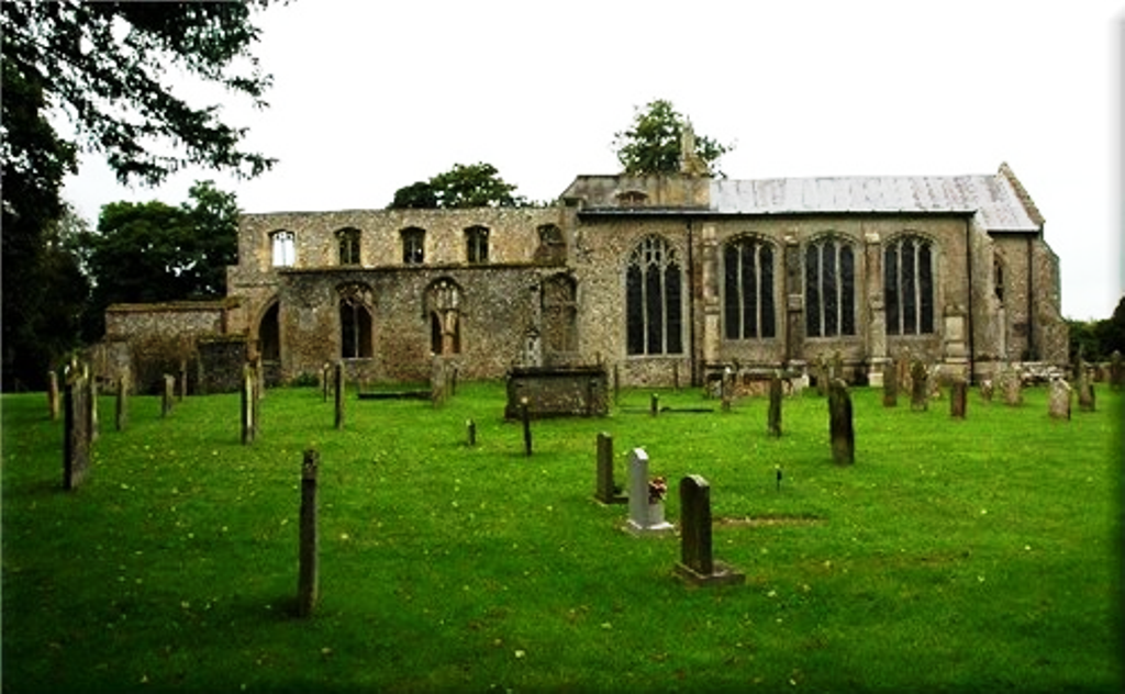
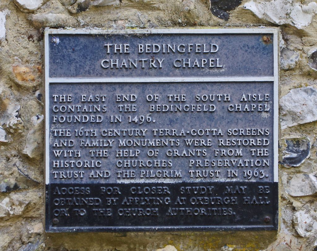
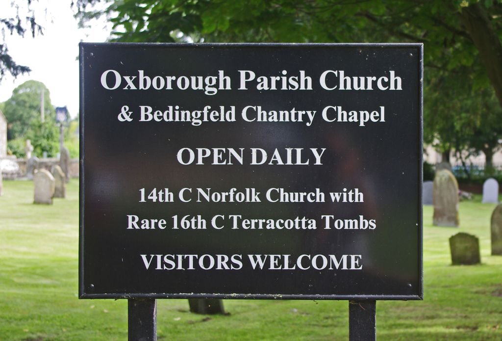
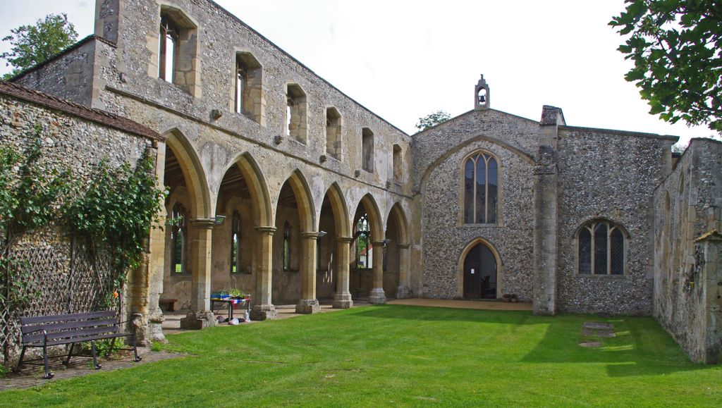
| Description | : | Oxborough is a village and civil parish in the English county of Norfolk with the postal code in King's Lynn. In 1948 during high winds the spire and tower collapsed into the church, the south side of the nave was destroyed. The south chapel was not destroyed and is still in use. |
frequently asked questions (FAQ):
-
Where is Saint John the Evangelist Churchyard?
Saint John the Evangelist Churchyard is located at Church Farm Lane Oxborough, Breckland Borough ,Norfolk , PE33 9BLEngland.
-
Saint John the Evangelist Churchyard cemetery's updated grave count on graveviews.com?
285 memorials
-
Where are the coordinates of the Saint John the Evangelist Churchyard?
Latitude: 52.5828040
Longitude: 0.5727550
Nearby Cemetories:
1. St George's Churchyard
Gooderstone, Breckland Borough, England
Coordinate: 52.5884010, 0.6003860
2. All Saints Churchyard
Foulden, Breckland Borough, England
Coordinate: 52.5599040, 0.6021930
3. St. Mary the Virgin Churchyard
Beachamwell, Breckland Borough, England
Coordinate: 52.6178670, 0.5844730
4. All Saints Churchyard
Stoke Ferry, Kings Lynn and West Norfolk Borough, England
Coordinate: 52.5702970, 0.5138070
5. All Saints Churchyard
Boughton, Kings Lynn and West Norfolk Borough, England
Coordinate: 52.5913020, 0.5080360
6. Northwold Cemetery
Northwold, Kings Lynn and West Norfolk Borough, England
Coordinate: 52.5419000, 0.5820000
7. St Andrew Churchyard
Northwold, Kings Lynn and West Norfolk Borough, England
Coordinate: 52.5425540, 0.5878920
8. St. Andrew's Old Cemetery
Northwold, Kings Lynn and West Norfolk Borough, England
Coordinate: 52.5405523, 0.5864157
9. St. Mary's Churchyard
Barton Bendish, Kings Lynn and West Norfolk Borough, England
Coordinate: 52.6198270, 0.5243860
10. St. Andrew's Churchyard
Barton Bendish, Kings Lynn and West Norfolk Borough, England
Coordinate: 52.6219270, 0.5277620
11. All Saints Churchyard
Cockley Cley, Breckland Borough, England
Coordinate: 52.6057860, 0.6446070
12. St. Margaret of Antioch Churchyard
Wereham, Kings Lynn and West Norfolk Borough, England
Coordinate: 52.5867700, 0.4799200
13. Methwold Cemetery
Methwold, Kings Lynn and West Norfolk Borough, England
Coordinate: 52.5257758, 0.5575197
14. St. George's Churchyard
Methwold, Kings Lynn and West Norfolk Borough, England
Coordinate: 52.5229060, 0.5568700
15. St Martin's Churchyard
Fincham, Kings Lynn and West Norfolk Borough, England
Coordinate: 52.6296100, 0.4926900
16. St Mary's Churchyard
Cranwich, Breckland Borough, England
Coordinate: 52.5224040, 0.6262310
17. St. Andrew's Churchyard
West Dereham, Kings Lynn and West Norfolk Borough, England
Coordinate: 52.5911080, 0.4599020
18. All Saints Churchyard
Hilborough, Breckland Borough, England
Coordinate: 52.5673800, 0.6921240
19. St. Mary's Churchyard
Stradsett, Kings Lynn and West Norfolk Borough, England
Coordinate: 52.6178500, 0.4588500
20. Holy Trinity Churchyard
Marham, Kings Lynn and West Norfolk Borough, England
Coordinate: 52.6583800, 0.5236900
21. St. Mary's Churchyard
Bodney, Breckland Borough, England
Coordinate: 52.5561990, 0.7002570
22. Marham Cemetery
Marham, Kings Lynn and West Norfolk Borough, England
Coordinate: 52.6622260, 0.5287110
23. St Leonard's Churchyard
Mundford, Breckland Borough, England
Coordinate: 52.5125080, 0.6521150
24. St Peter's Churchyard
Ickburgh, Breckland Borough, England
Coordinate: 52.5232010, 0.6755200