| Memorials | : | 22 |
| Location | : | Barton Bendish, Kings Lynn and West Norfolk Borough, England |
| Coordinate | : | 52.6219270, 0.5277620 |
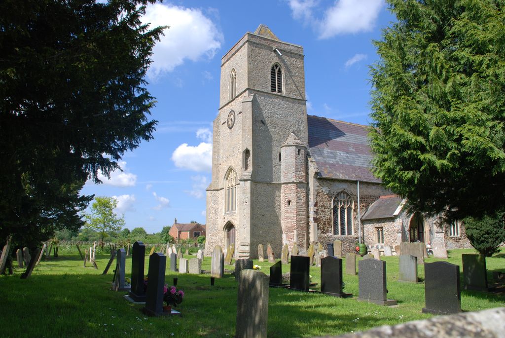
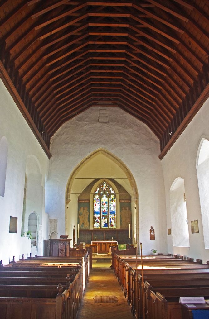
| Description | : | Barton Bendish is a village and a civil parish in the English county of Norfolk .The village lies 14.4 miles (23.2 km) south of the town of Kings Lynn. St Andrew's church is in the village of Barton Bendish (incorporating the hamlet of Eastmoor.), which is about one mile south of the A1122 between the market towns of Downham Market and Swaffham. The village has two churches - St Andrew's, which is the main place of worship, and St Mary's, which was declared redundant in the 1970s and is maintained by the Churches Conservation Trust. It remains consecrated and... Read More |
frequently asked questions (FAQ):
-
Where is St. Andrew's Churchyard?
St. Andrew's Churchyard is located at Church Road Barton Bendish, Kings Lynn and West Norfolk Borough ,Norfolk , PE33 9GFEngland.
-
St. Andrew's Churchyard cemetery's updated grave count on graveviews.com?
20 memorials
-
Where are the coordinates of the St. Andrew's Churchyard?
Latitude: 52.6219270
Longitude: 0.5277620
Nearby Cemetories:
1. St. Mary's Churchyard
Barton Bendish, Kings Lynn and West Norfolk Borough, England
Coordinate: 52.6198270, 0.5243860
2. St Martin's Churchyard
Fincham, Kings Lynn and West Norfolk Borough, England
Coordinate: 52.6296100, 0.4926900
3. All Saints Churchyard
Boughton, Kings Lynn and West Norfolk Borough, England
Coordinate: 52.5913020, 0.5080360
4. St. Mary the Virgin Churchyard
Beachamwell, Breckland Borough, England
Coordinate: 52.6178670, 0.5844730
5. Holy Trinity Churchyard
Marham, Kings Lynn and West Norfolk Borough, England
Coordinate: 52.6583800, 0.5236900
6. All Saints Churchyard
Shouldham, Kings Lynn and West Norfolk Borough, England
Coordinate: 52.6515690, 0.4837640
7. Marham Cemetery
Marham, Kings Lynn and West Norfolk Borough, England
Coordinate: 52.6622260, 0.5287110
8. St. Mary's Churchyard
Stradsett, Kings Lynn and West Norfolk Borough, England
Coordinate: 52.6178500, 0.4588500
9. Shouldham Priory
Shouldham, Kings Lynn and West Norfolk Borough, England
Coordinate: 52.6576070, 0.4836220
10. St. Margaret of Antioch Churchyard
Wereham, Kings Lynn and West Norfolk Borough, England
Coordinate: 52.5867700, 0.4799200
11. Saint John the Evangelist Churchyard
Oxborough, Breckland Borough, England
Coordinate: 52.5828040, 0.5727550
12. St. Andrew's Churchyard
West Dereham, Kings Lynn and West Norfolk Borough, England
Coordinate: 52.5911080, 0.4599020
13. All Saints Churchyard
Stoke Ferry, Kings Lynn and West Norfolk Borough, England
Coordinate: 52.5702970, 0.5138070
14. St George's Churchyard
Gooderstone, Breckland Borough, England
Coordinate: 52.5884010, 0.6003860
15. Pentney Priory
Pentney, Kings Lynn and West Norfolk Borough, England
Coordinate: 52.6803890, 0.5143830
16. St. Botolph's Churchyard
Tottenhill, Kings Lynn and West Norfolk Borough, England
Coordinate: 52.6706000, 0.4433000
17. All Saints Churchyard
Narborough, Breckland Borough, England
Coordinate: 52.6861790, 0.5825420
18. All Saints Churchyard
Cockley Cley, Breckland Borough, England
Coordinate: 52.6057860, 0.6446070
19. St. Mary Magdalene Churchyard
Pentney, Kings Lynn and West Norfolk Borough, England
Coordinate: 52.6950490, 0.5449550
20. Saint Andrew's Churchyard
South Runcton, Kings Lynn and West Norfolk Borough, England
Coordinate: 52.6472700, 0.4128500
21. Holy Trinity Churchyard
Stow Bardolph, Kings Lynn and West Norfolk Borough, England
Coordinate: 52.6241340, 0.4041480
22. Saint Mary the Virgin Churchyard
Bexwell, Kings Lynn and West Norfolk Borough, England
Coordinate: 52.6040000, 0.4076000
23. All Saints Churchyard
Foulden, Breckland Borough, England
Coordinate: 52.5599040, 0.6021930
24. Blackborough Priory
Middleton, Kings Lynn and West Norfolk Borough, England
Coordinate: 52.6989000, 0.4749000


