
| Memorials | : | 445 |
| Location | : | Marham, Kings Lynn and West Norfolk Borough, England |
| Website | : | marhamparishcouncil.norfolkparishes.gov.uk/cemetery-2/ |
| Coordinate | : | 52.6622260, 0.5287110 |
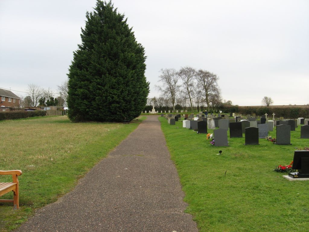
| Description | : | Location Information (from the Commonwealth War Graves Commission)- Marham is a parish and village 7 miles north-north-west of Swaffham. Historical Information The cemetery, which covers 2 acres, was first used in 1941 and the land on which it lies was given by a local landowner to Marham Parish Council. Until June of that year the Royal Air Force Station at Marham had used the village churchyard for burials, but a new burial ground became necessary and this land, within sight of the fifteenth century church, was given with the proviso that a special section near the south-eastern boundary should be reserved for... Read More |
frequently asked questions (FAQ):
-
Where is Marham Cemetery?
Marham Cemetery is located at Marham, Kings Lynn and West Norfolk Borough ,Norfolk ,England.
-
Marham Cemetery cemetery's updated grave count on graveviews.com?
445 memorials
-
Where are the coordinates of the Marham Cemetery?
Latitude: 52.6622260
Longitude: 0.5287110
Nearby Cemetories:
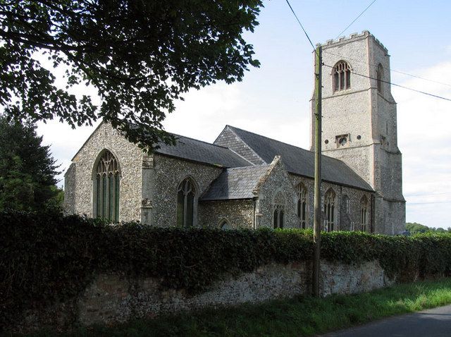
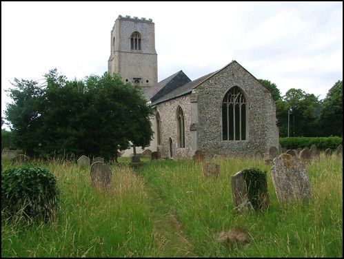
1. Holy Trinity Churchyard
Marham, Kings Lynn and West Norfolk Borough, England
Coordinate: 52.6583800, 0.5236900
2. Pentney Priory
Pentney, Kings Lynn and West Norfolk Borough, England
Coordinate: 52.6803890, 0.5143830
3. Shouldham Priory
Shouldham, Kings Lynn and West Norfolk Borough, England
Coordinate: 52.6576070, 0.4836220
4. All Saints Churchyard
Shouldham, Kings Lynn and West Norfolk Borough, England
Coordinate: 52.6515690, 0.4837640
5. St. Mary Magdalene Churchyard
Pentney, Kings Lynn and West Norfolk Borough, England
Coordinate: 52.6950490, 0.5449550
6. St Martin's Churchyard
Fincham, Kings Lynn and West Norfolk Borough, England
Coordinate: 52.6296100, 0.4926900
7. St. Andrew's Churchyard
Barton Bendish, Kings Lynn and West Norfolk Borough, England
Coordinate: 52.6219270, 0.5277620
8. All Saints Churchyard
Narborough, Breckland Borough, England
Coordinate: 52.6861790, 0.5825420
9. St. Mary's Churchyard
Barton Bendish, Kings Lynn and West Norfolk Borough, England
Coordinate: 52.6198270, 0.5243860
10. St Cecilia's Churchyard
West Bilney, Kings Lynn and West Norfolk Borough, England
Coordinate: 52.7079810, 0.5395750
11. Blackborough Priory
Middleton, Kings Lynn and West Norfolk Borough, England
Coordinate: 52.6989000, 0.4749000
12. St. Botolph's Churchyard
Tottenhill, Kings Lynn and West Norfolk Borough, England
Coordinate: 52.6706000, 0.4433000
13. St. Mary the Virgin Churchyard
Beachamwell, Breckland Borough, England
Coordinate: 52.6178670, 0.5844730
14. All Saints Churchyard
East Winch, Kings Lynn and West Norfolk Borough, England
Coordinate: 52.7175790, 0.5025340
15. St. Mary's Churchyard
Narford, Breckland Borough, England
Coordinate: 52.6928740, 0.6095600
16. Saint Mary Churchyard
East Walton, Kings Lynn and West Norfolk Borough, England
Coordinate: 52.7146600, 0.5787130
17. St. Mary's Churchyard
Stradsett, Kings Lynn and West Norfolk Borough, England
Coordinate: 52.6178500, 0.4588500
18. St Mary's Churchyard
Middleton, Kings Lynn and West Norfolk Borough, England
Coordinate: 52.7162502, 0.4595386
19. Saint Andrew's Churchyard
South Runcton, Kings Lynn and West Norfolk Borough, England
Coordinate: 52.6472700, 0.4128500
20. All Saints Churchyard
Boughton, Kings Lynn and West Norfolk Borough, England
Coordinate: 52.5913020, 0.5080360
21. Exton Hall Roman Catholic Chapel
Exton, Rutland Unitary Authority, England
Coordinate: 52.6925000, 0.6382000
22. All Saints Churchyard
West Acre, Kings Lynn and West Norfolk Borough, England
Coordinate: 52.7055420, 0.6339660
23. All Saints Churchyard
North Runcton, Kings Lynn and West Norfolk Borough, England
Coordinate: 52.7155370, 0.4360180
24. All Saints Churchyard
Ashwicken, Kings Lynn and West Norfolk Borough, England
Coordinate: 52.7404620, 0.5146680