
| Memorials | : | 1 |
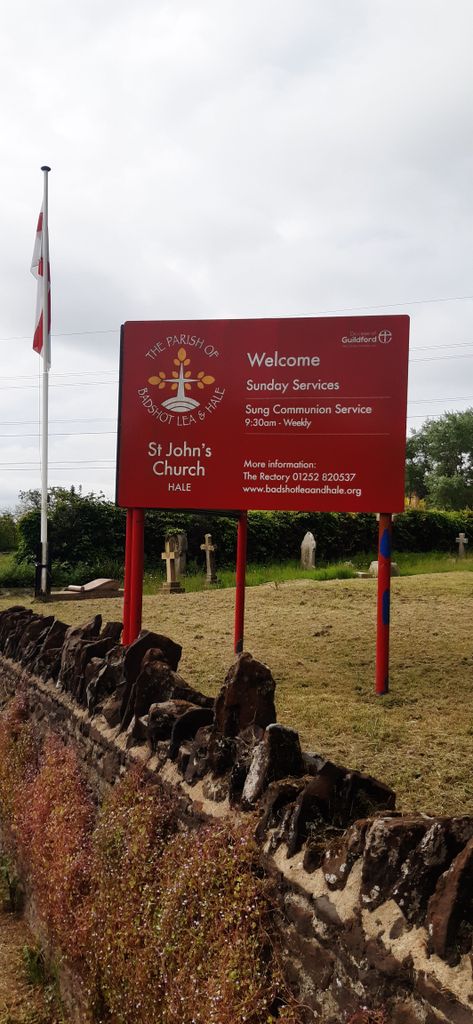
| Location | : | Hale, Waverley Borough, England |
| Coordinate | : | 51.2280880, -0.7849360 |
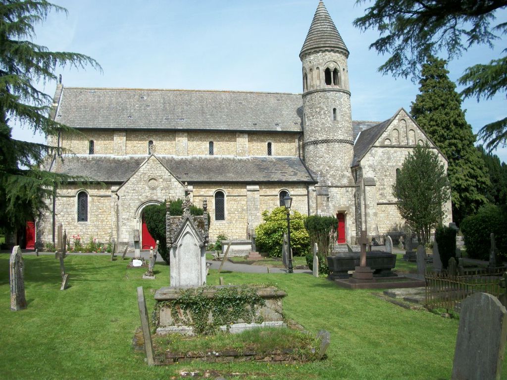
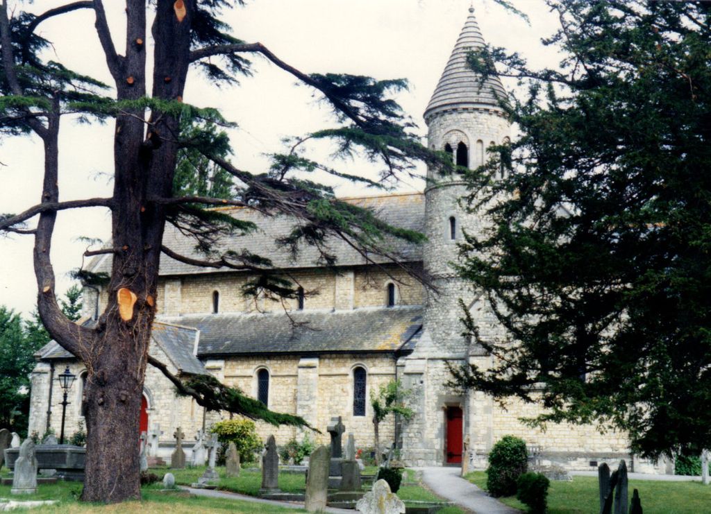
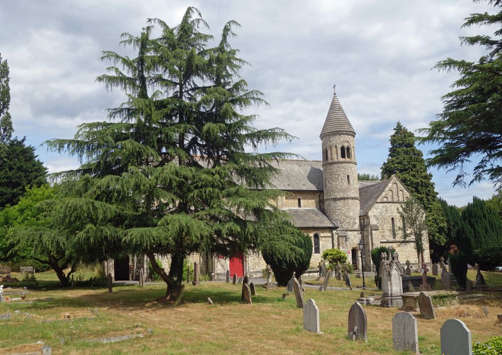
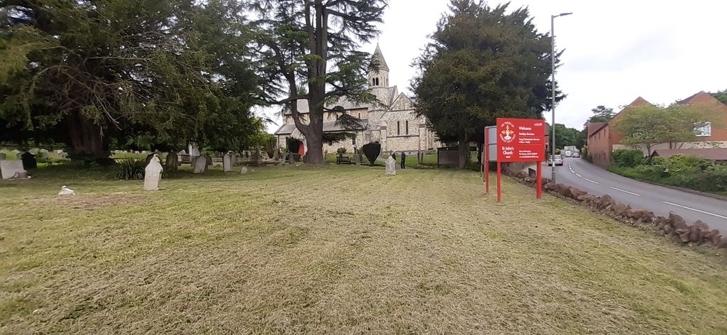
| Description | : | The foundation of the church was promoted by Bishop C R Sumner who became bishop of Winchester in 1827. He lived locally and was concerned to provide a place of worship for the local population. |
frequently asked questions (FAQ):
-
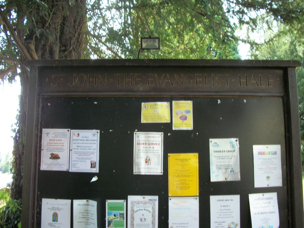
Where is Saint John the Evangelist Churchyard?
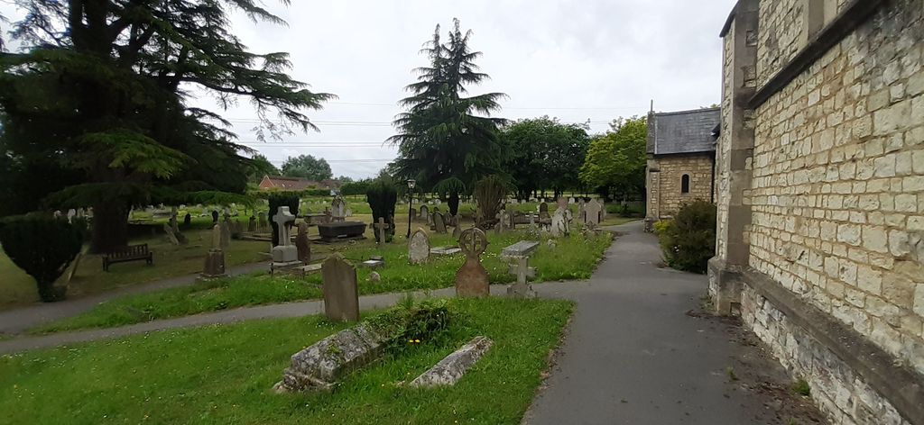
Saint John the Evangelist Churchyard is located at Hale Road Hale, Waverley Borough ,Surrey , GU9 9ABEngland.
-
Saint John the Evangelist Churchyard cemetery's updated grave count on graveviews.com?
1 memorials
-
Where are the coordinates of the Saint John the Evangelist Churchyard?
Latitude: 51.2280880
Longitude: -0.7849360

Nearby Cemetories:
1. Upper Hale Cemetery
Farnham, Waverley Borough, England
Coordinate: 51.2352700, -0.8001800
2. St Andrew Churchyard
Farnham, Waverley Borough, England
Coordinate: 51.2131350, -0.8007400
3. St Michael the Archangel Churchyard
Aldershot, Rushmoor Borough, England
Coordinate: 51.2414300, -0.7558900
4. West Street Cemetery
Farnham, Waverley Borough, England
Coordinate: 51.2109000, -0.8093900
5. Aldershot Crematorium
Aldershot, Rushmoor Borough, England
Coordinate: 51.2325970, -0.7443200
6. Redan Road Cemetery
Aldershot, Rushmoor Borough, England
Coordinate: 51.2495610, -0.7488900
7. St Mary Churchyard
Ewshot, Hart District, England
Coordinate: 51.2416700, -0.8322800
8. Aldershot Jewish Cemetery
Aldershot, Rushmoor Borough, England
Coordinate: 51.2508900, -0.7463000
9. St Peter's Churchyard
Wrecclesham, Waverley Borough, England
Coordinate: 51.1976230, -0.8171330
10. Aldershot Military Cemetery
Aldershot, Rushmoor Borough, England
Coordinate: 51.2554779, -0.7449350
11. St Lawrence Churchyard
Seale, Guildford Borough, England
Coordinate: 51.2231840, -0.7170140
12. Emery Gates Cemetery
Ash, Guildford Borough, England
Coordinate: 51.2500370, -0.7163210
13. St Peter Churchyard
Ash, Guildford Borough, England
Coordinate: 51.2490760, -0.7155380
14. Christ Church Churchyard
Crookham Village, Hart District, England
Coordinate: 51.2597200, -0.8438180
15. All Saints Churchyard
Crondall, Hart District, England
Coordinate: 51.2299830, -0.8633050
16. Ash War Memorial
Ash, Guildford Borough, England
Coordinate: 51.2546746, -0.7157783
17. All Saints Churchyard
Tilford, Waverley Borough, England
Coordinate: 51.1811180, -0.7524490
18. All Saints Churchyard
Guildford Borough, England
Coordinate: 51.1809540, -0.7523820
19. St James Churchyard
Rowledge, Waverley Borough, England
Coordinate: 51.1811200, -0.8275700
20. Fleet Cemetery
Fleet, Hart District, England
Coordinate: 51.2718100, -0.8523700
21. St. Mary the Virgin Churchyard
Frensham, Waverley Borough, England
Coordinate: 51.1659700, -0.7973890
22. Thursley Road Cemetery
Elstead, Waverley Borough, England
Coordinate: 51.1836610, -0.7066330
23. All Saints Churchyard
Fleet, Hart District, England
Coordinate: 51.2838060, -0.8427500
24. St. Mary's Churchyard
Bentley, East Hampshire District, England
Coordinate: 51.1957900, -0.8791600