
| Memorials | : | 9 |
| Location | : | Ash, Guildford Borough, England |
| Coordinate | : | 51.2490760, -0.7155380 |
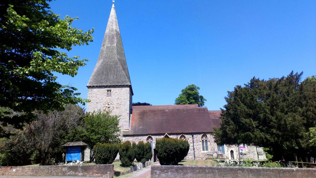
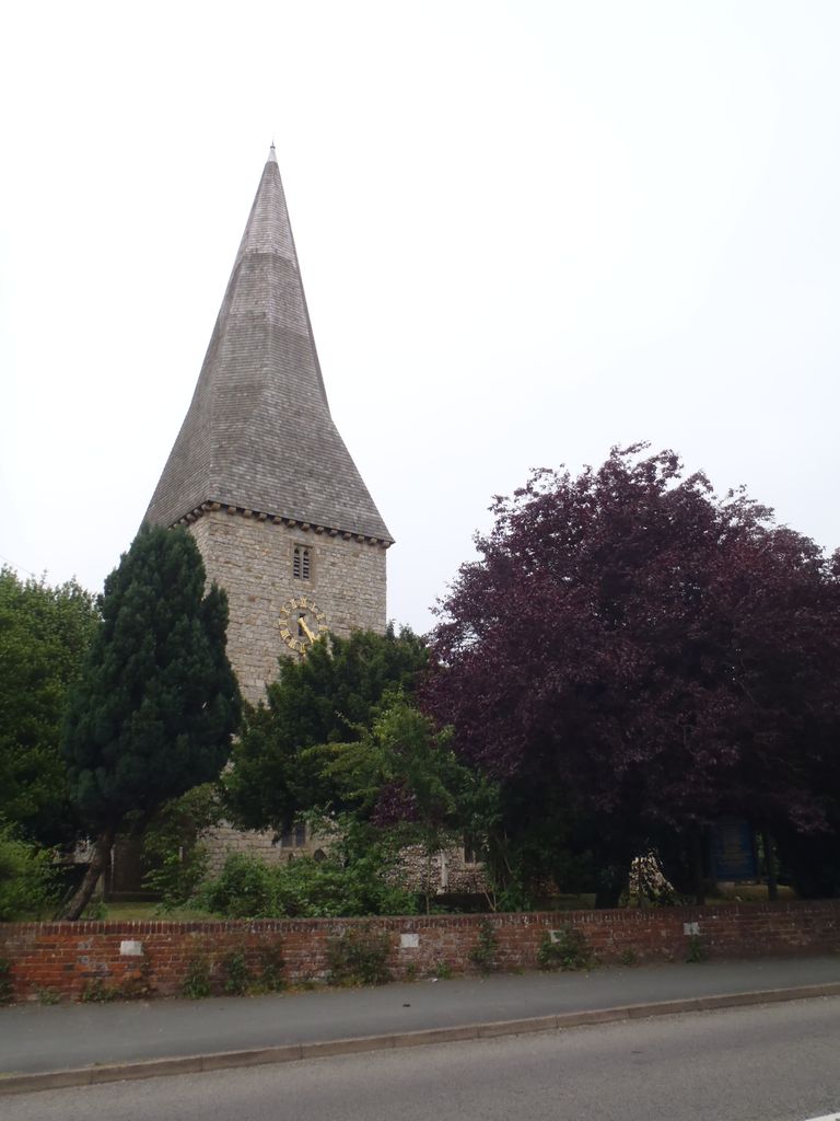
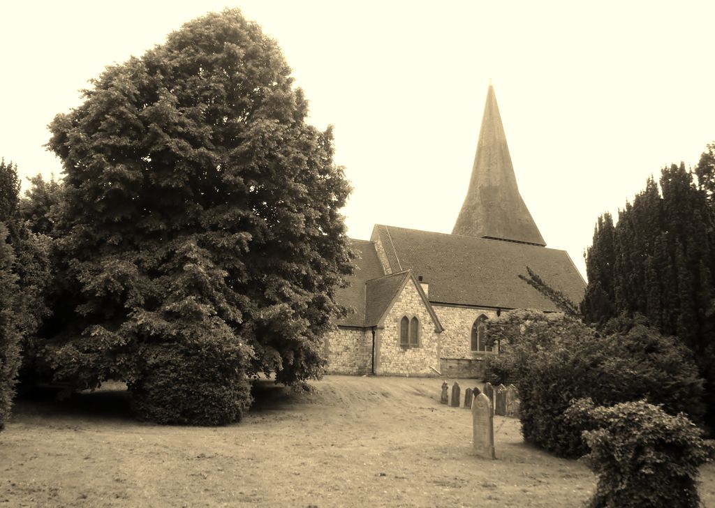
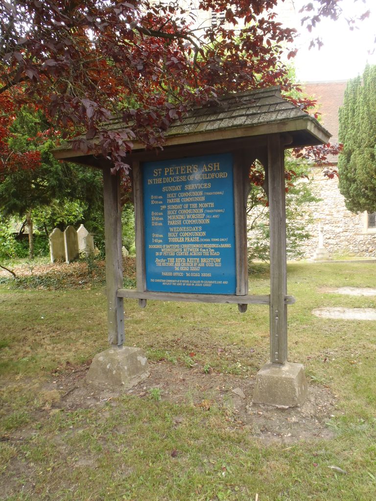
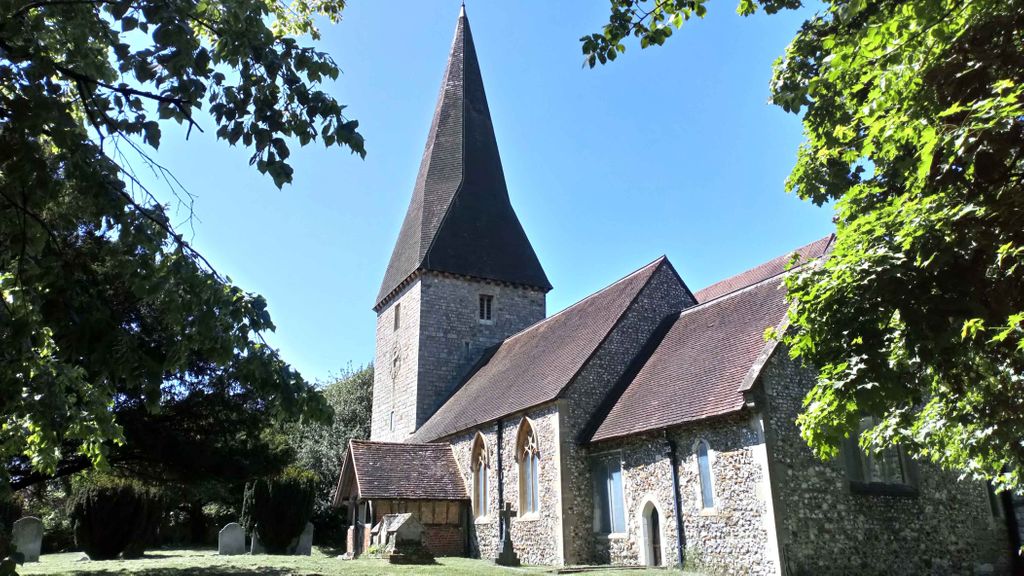
| Description | : | The southern part of the parish, including St. Peter's Church and Ash village, is on the London Clay; but the greater portion, once including Frimley, covers the western side of the ridge of Bagshot Sands, which is divided from Chobham Ridges by the dip through which the Basingstoke Canal and railway run, and is known as Ash Common, Fox Hills, Claygate Common (now in Surrey Wildlife Trust and MoD use. The Church is next to Ash Cemetery , also known as: Emery Gates Cemetery |
frequently asked questions (FAQ):
-
Where is St Peter Churchyard?
St Peter Churchyard is located at Ash Church Road Ash, Guildford Borough ,Surrey , GU12 6LUEngland.
-
St Peter Churchyard cemetery's updated grave count on graveviews.com?
8 memorials
-
Where are the coordinates of the St Peter Churchyard?
Latitude: 51.2490760
Longitude: -0.7155380
Nearby Cemetories:
1. Emery Gates Cemetery
Ash, Guildford Borough, England
Coordinate: 51.2500370, -0.7163210
2. Ash War Memorial
Ash, Guildford Borough, England
Coordinate: 51.2546746, -0.7157783
3. Aldershot Jewish Cemetery
Aldershot, Rushmoor Borough, England
Coordinate: 51.2508900, -0.7463000
4. Aldershot Military Cemetery
Aldershot, Rushmoor Borough, England
Coordinate: 51.2554779, -0.7449350
5. Redan Road Cemetery
Aldershot, Rushmoor Borough, England
Coordinate: 51.2495610, -0.7488900
6. St. Mark's Churchyard
Pirbright, Guildford Borough, England
Coordinate: 51.2549050, -0.6812810
7. Aldershot Crematorium
Aldershot, Rushmoor Borough, England
Coordinate: 51.2325970, -0.7443200
8. St Lawrence Churchyard
Seale, Guildford Borough, England
Coordinate: 51.2231840, -0.7170140
9. St Michael the Archangel Churchyard
Aldershot, Rushmoor Borough, England
Coordinate: 51.2414300, -0.7558900
10. St. Bartholomew's Churchyard
Wanborough, Guildford Borough, England
Coordinate: 51.2317700, -0.6625100
11. St. John the Baptist Churchyard
Puttenham, Guildford Borough, England
Coordinate: 51.2222610, -0.6650440
12. Puttenham Cemetery
Puttenham, Guildford Borough, England
Coordinate: 51.2204130, -0.6590980
13. Saint John the Evangelist Churchyard
Hale, Waverley Borough, England
Coordinate: 51.2280880, -0.7849360
14. St. Peter's Churchyard
Farnborough, Rushmoor Borough, England
Coordinate: 51.2924100, -0.7499300
15. St Michael's Abbey
Farnborough, Rushmoor Borough, England
Coordinate: 51.2971140, -0.7497110
16. Victoria Road Cemetery
Farnborough, Rushmoor Borough, England
Coordinate: 51.2941300, -0.7593900
17. Upper Hale Cemetery
Farnham, Waverley Borough, England
Coordinate: 51.2352700, -0.8001800
18. Deepcut Military Cemetery
Deepcut, Surrey Heath Borough, England
Coordinate: 51.3062170, -0.7049060
19. St. Mary's Churchyard
Shackleford, Guildford Borough, England
Coordinate: 51.2017210, -0.6629560
20. Compton Village Cemetery
Compton, Guildford Borough, England
Coordinate: 51.2181370, -0.6326920
21. Ship Lane Cemetery
Farnborough, Rushmoor Borough, England
Coordinate: 51.3057800, -0.7488900
22. St. Nicholas' Churchyard
Compton, Guildford Borough, England
Coordinate: 51.2145300, -0.6348400
23. St Michael and All Angels Churchyard
Pirbright, Guildford Borough, England
Coordinate: 51.2945800, -0.6500000
24. St. John the Baptist Churchyard
Farnborough, Rushmoor Borough, England
Coordinate: 51.2973050, -0.7819310