| Memorials | : | 316 |
| Location | : | Aldershot, Rushmoor Borough, England |
| Coordinate | : | 51.2554779, -0.7449350 |
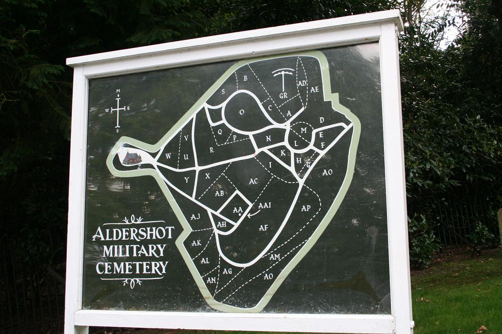
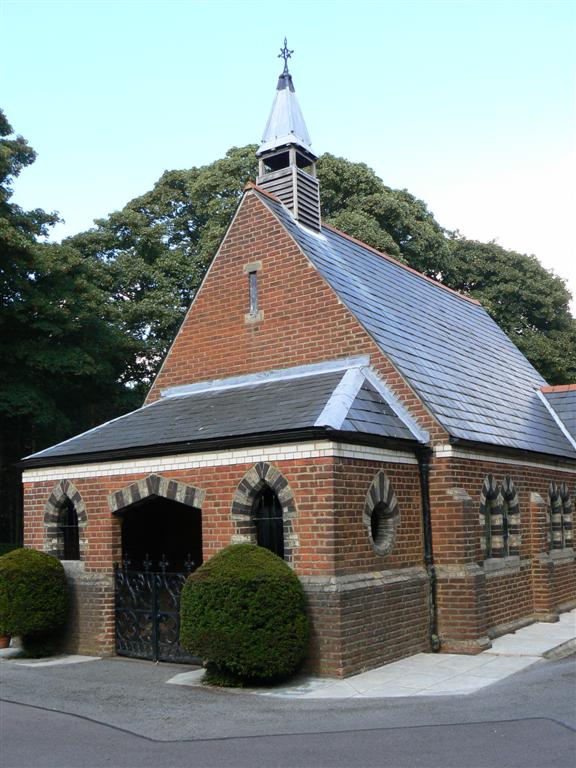
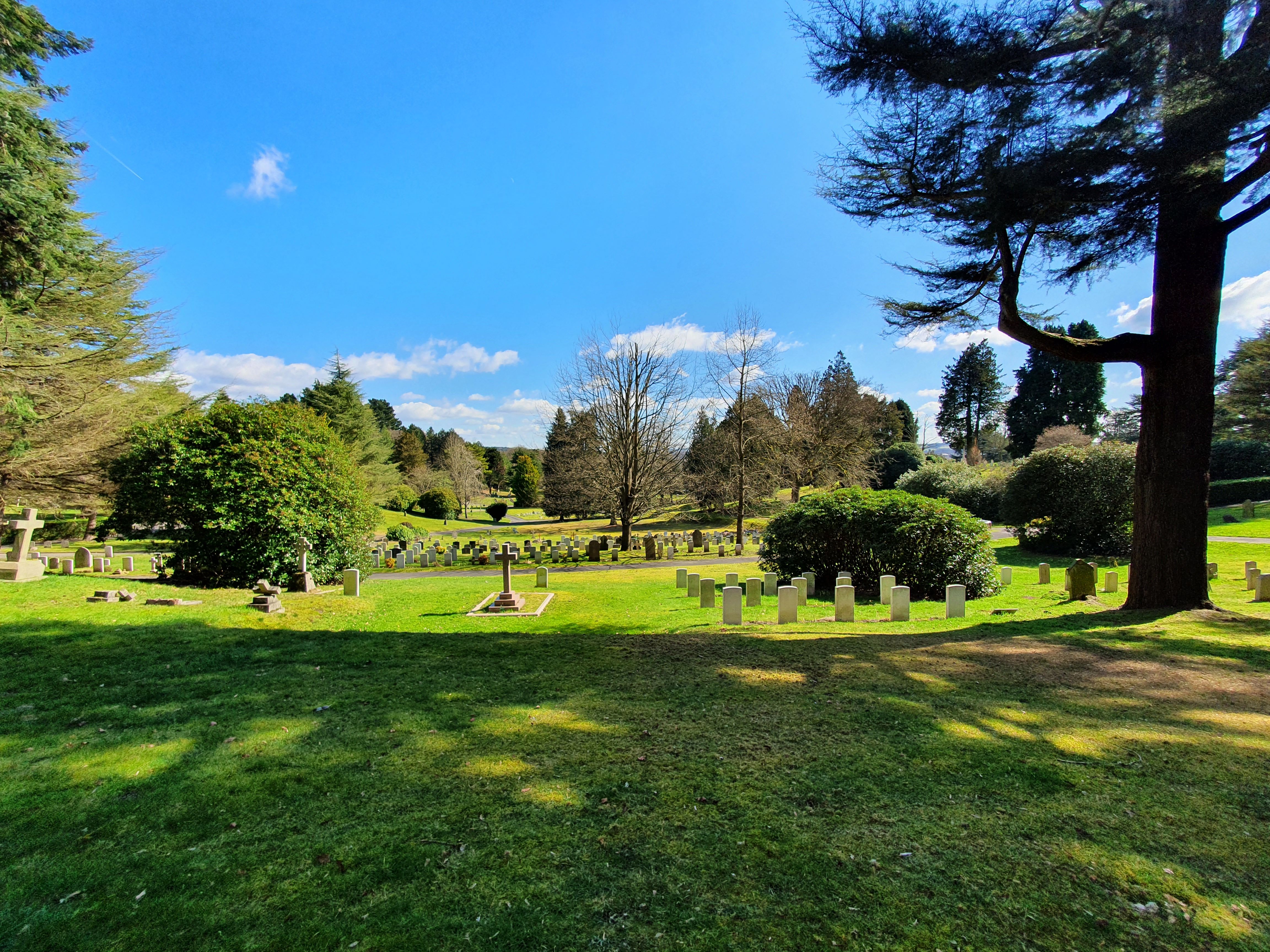
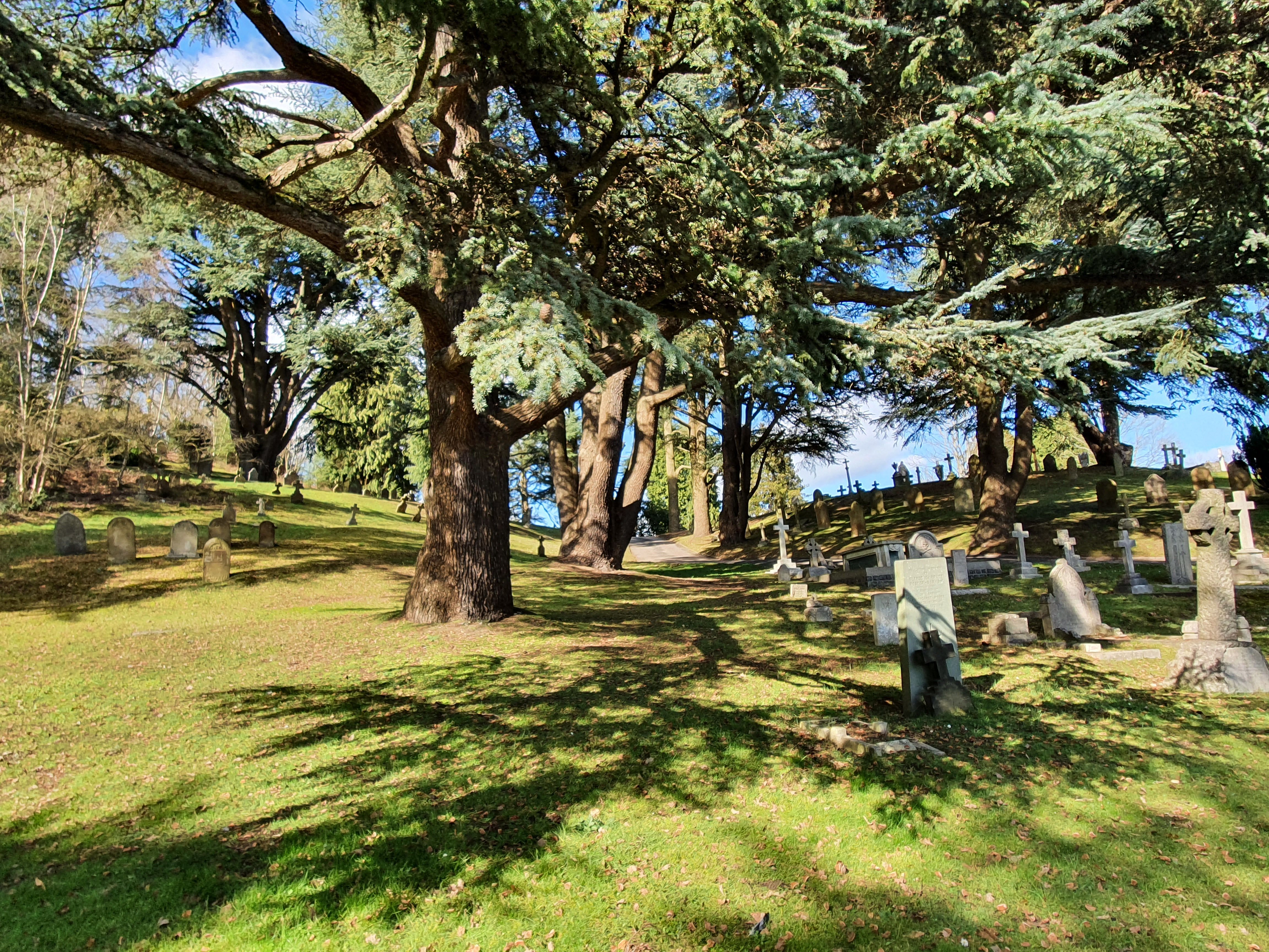
| Description | : | During both wars, numerous regimental and corps depots were based in and around Aldershot. At the outbreak of The First World War, it was the headquarters of the Aldershot Command and of the 1st and 2nd Divisions, and the Depot of the Royal Army Medical Corps. The North and South Camps, divided by the Basingstoke Canal, remained in full activity throughout the War. During the Second World War, some 400,000 Canadian servicemen were trained there. Aldershot Military Cemetery is a permanent military cemetery, the property of the Ministry of Defence. The Commonwealth War Graves Commission is responsible for the care of... Read More |
frequently asked questions (FAQ):
-
Where is Aldershot Military Cemetery?
Aldershot Military Cemetery is located at Aldershot, Rushmoor Borough ,Hampshire ,England.
-
Aldershot Military Cemetery cemetery's updated grave count on graveviews.com?
311 memorials
-
Where are the coordinates of the Aldershot Military Cemetery?
Latitude: 51.2554779
Longitude: -0.7449350
Nearby Cemetories:
1. Aldershot Jewish Cemetery
Aldershot, Rushmoor Borough, England
Coordinate: 51.2508900, -0.7463000
2. Redan Road Cemetery
Aldershot, Rushmoor Borough, England
Coordinate: 51.2495610, -0.7488900
3. St Michael the Archangel Churchyard
Aldershot, Rushmoor Borough, England
Coordinate: 51.2414300, -0.7558900
4. Ash War Memorial
Ash, Guildford Borough, England
Coordinate: 51.2546746, -0.7157783
5. Emery Gates Cemetery
Ash, Guildford Borough, England
Coordinate: 51.2500370, -0.7163210
6. St Peter Churchyard
Ash, Guildford Borough, England
Coordinate: 51.2490760, -0.7155380
7. Aldershot Crematorium
Aldershot, Rushmoor Borough, England
Coordinate: 51.2325970, -0.7443200
8. St Lawrence Churchyard
Seale, Guildford Borough, England
Coordinate: 51.2231840, -0.7170140
9. St. Peter's Churchyard
Farnborough, Rushmoor Borough, England
Coordinate: 51.2924100, -0.7499300
10. Saint John the Evangelist Churchyard
Hale, Waverley Borough, England
Coordinate: 51.2280880, -0.7849360
11. Victoria Road Cemetery
Farnborough, Rushmoor Borough, England
Coordinate: 51.2941300, -0.7593900
12. St. Mark's Churchyard
Pirbright, Guildford Borough, England
Coordinate: 51.2549050, -0.6812810
13. Upper Hale Cemetery
Farnham, Waverley Borough, England
Coordinate: 51.2352700, -0.8001800
14. St Michael's Abbey
Farnborough, Rushmoor Borough, England
Coordinate: 51.2971140, -0.7497110
15. St. John the Baptist Churchyard
Farnborough, Rushmoor Borough, England
Coordinate: 51.2973050, -0.7819310
16. Ship Lane Cemetery
Farnborough, Rushmoor Borough, England
Coordinate: 51.3057800, -0.7488900
17. St Andrew Churchyard
Farnham, Waverley Borough, England
Coordinate: 51.2131350, -0.8007400
18. St Mary Churchyard
Ewshot, Hart District, England
Coordinate: 51.2416700, -0.8322800
19. Deepcut Military Cemetery
Deepcut, Surrey Heath Borough, England
Coordinate: 51.3062170, -0.7049060
20. St. Bartholomew's Churchyard
Wanborough, Guildford Borough, England
Coordinate: 51.2317700, -0.6625100
21. St Peter's Churchyard
Frimley, Surrey Heath Borough, England
Coordinate: 51.3149770, -0.7393330
22. St. John the Baptist Churchyard
Puttenham, Guildford Borough, England
Coordinate: 51.2222610, -0.6650440
23. West Street Cemetery
Farnham, Waverley Borough, England
Coordinate: 51.2109000, -0.8093900
24. Christ Church Churchyard
Crookham Village, Hart District, England
Coordinate: 51.2597200, -0.8438180


