
| Memorials | : | 0 |
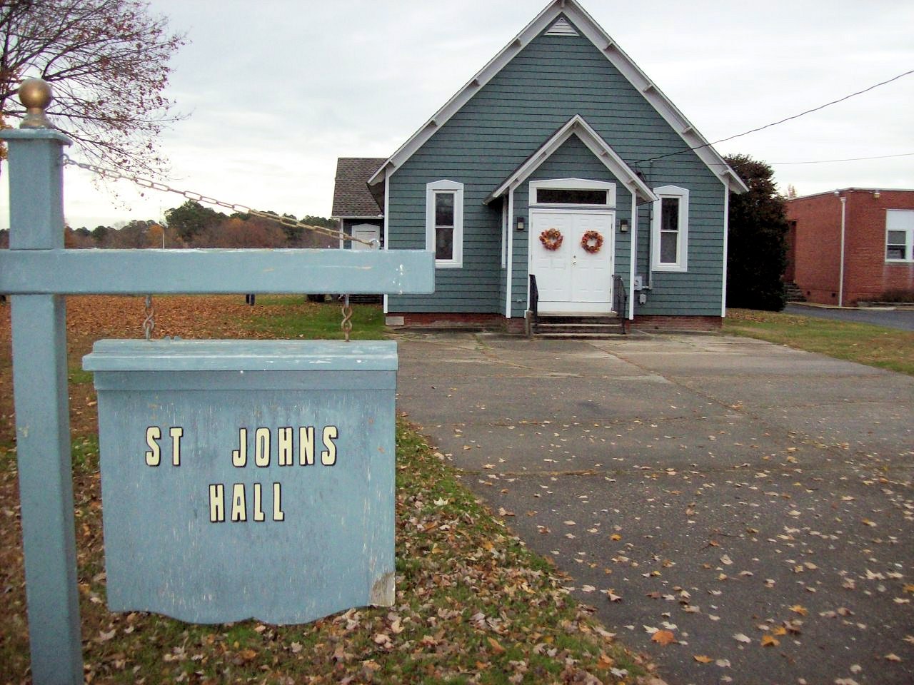
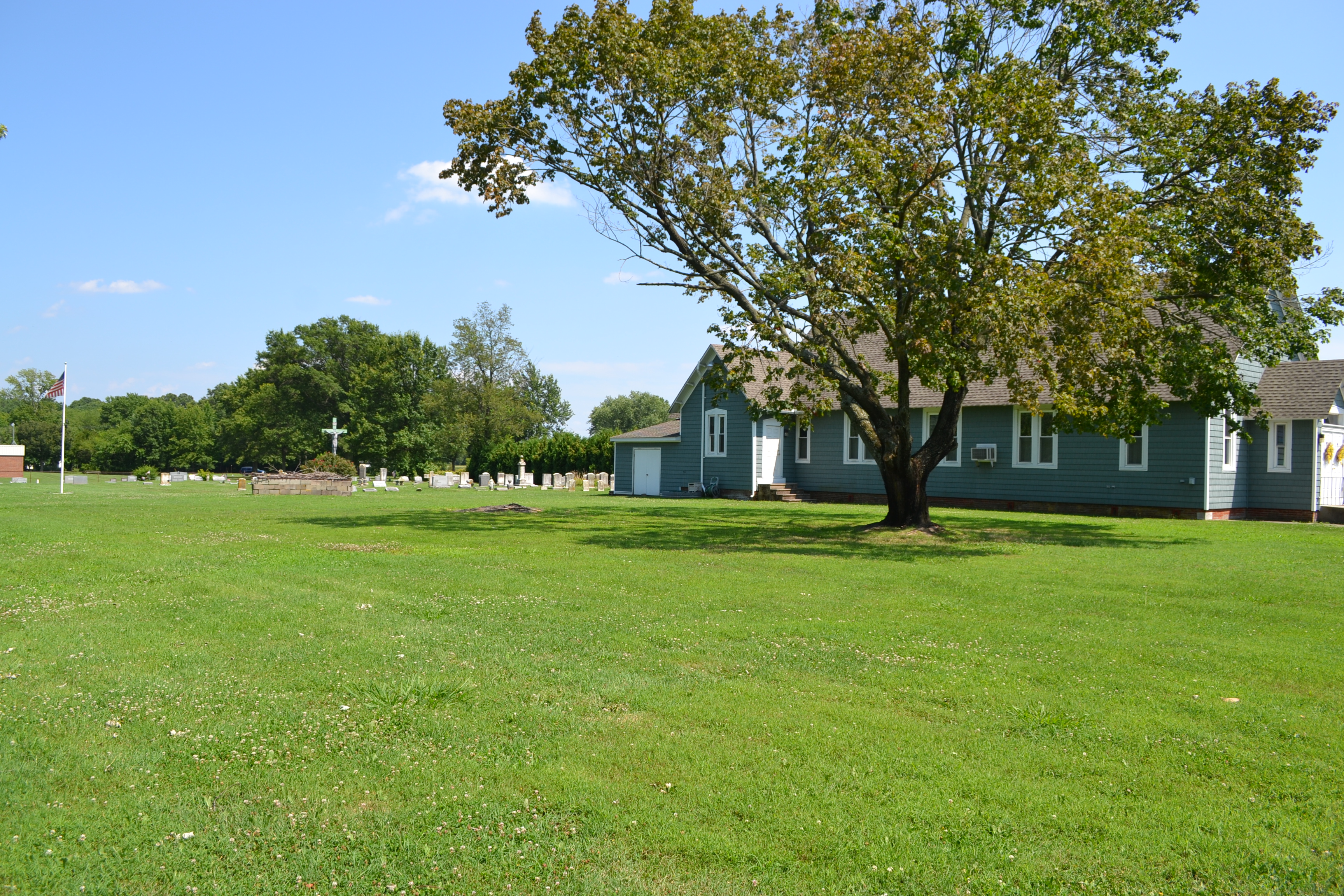
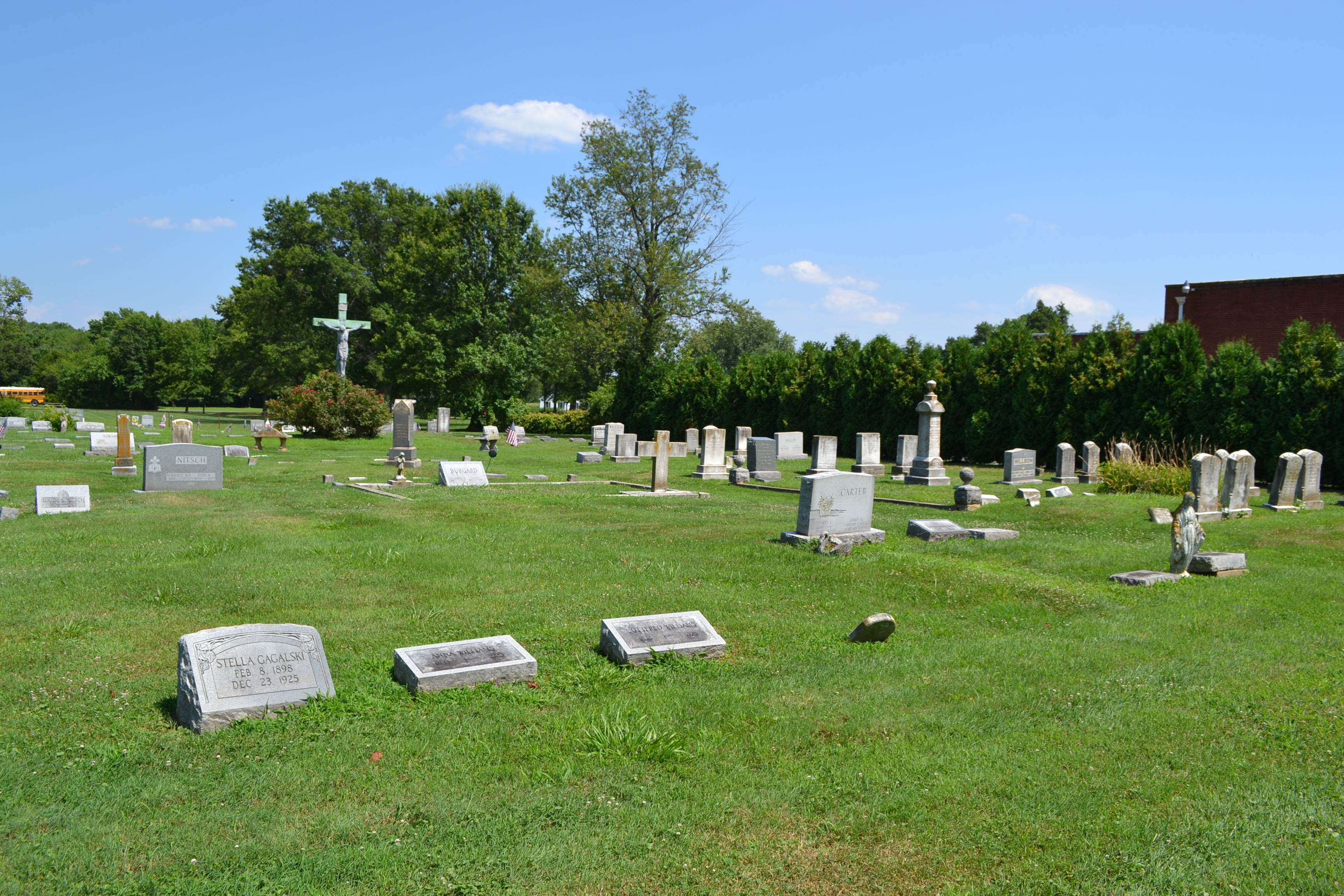
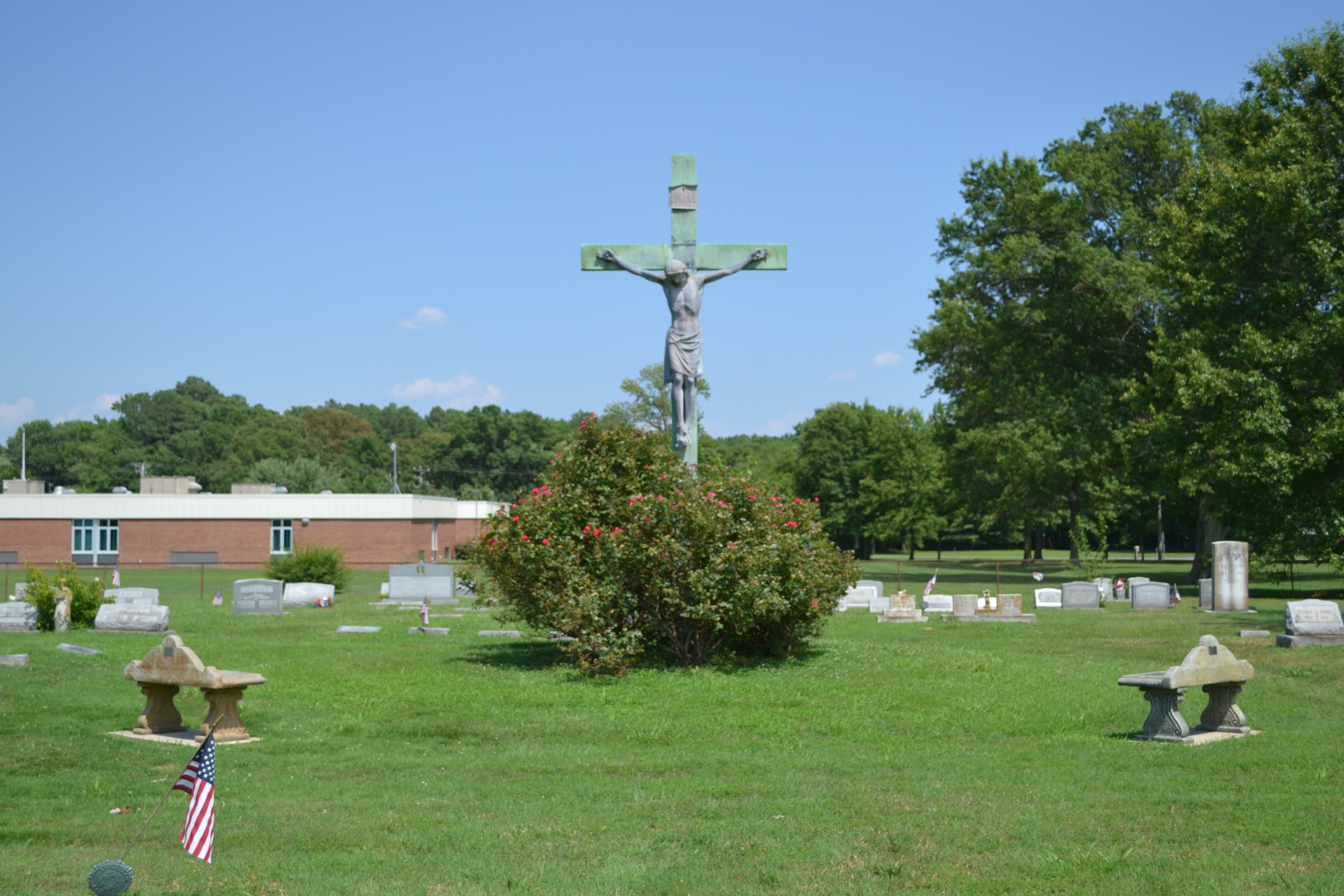
| Location | : | Rock Hall, Kent County, USA |
| Coordinate | : | 39.1330986, -76.2319031 |
frequently asked questions (FAQ):
-
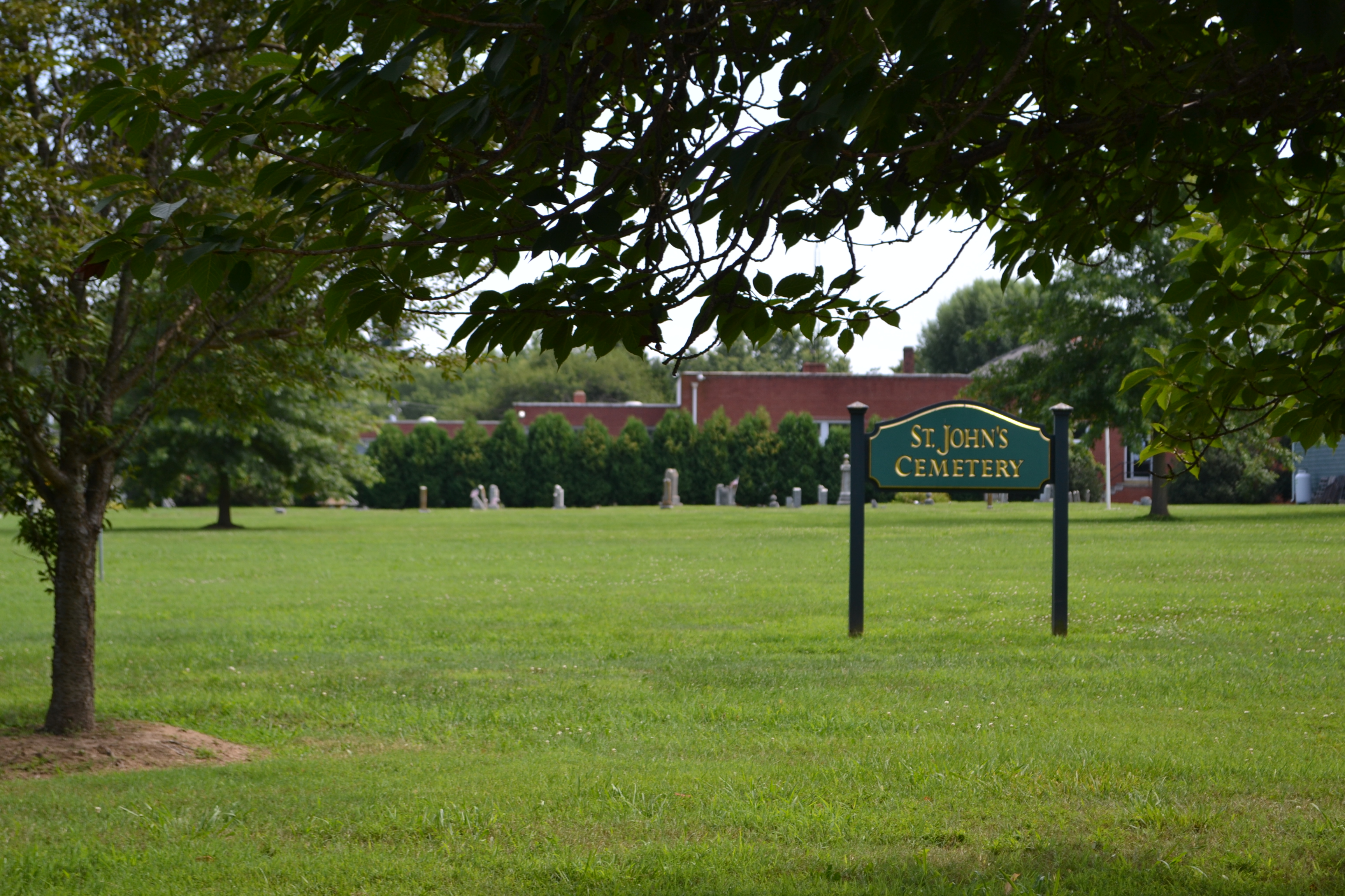
Where is Saint Johns Cemetery?
Saint Johns Cemetery is located at Rock Hall, Kent County ,Maryland ,USA.
-
Saint Johns Cemetery cemetery's updated grave count on graveviews.com?
0 memorials
-
Where are the coordinates of the Saint Johns Cemetery?
Latitude: 39.1330986
Longitude: -76.2319031
Nearby Cemetories:
1. Aaron's Chapel Church Cemetery
Kent County, USA
Coordinate: 39.1350600, -76.2235650
2. Wesley Chapel Cemetery
Rock Hall, Kent County, USA
Coordinate: 39.1450005, -76.2181015
3. Holy Trinity AME Church Cemetery
Rock Hall, Kent County, USA
Coordinate: 39.1519700, -76.2067600
4. Piney Neck Cemetery
Rock Hall, Kent County, USA
Coordinate: 39.1206660, -76.1966180
5. Ashley Cemetery
Rock Hall, Kent County, USA
Coordinate: 39.1107030, -76.1942110
6. Ashley Burial Ground
Rock Hall, Kent County, USA
Coordinate: 39.1107020, -76.1942100
7. Kelsey Methodist Protestant Chapel Cemetery
Fairlee, Kent County, USA
Coordinate: 39.1494510, -76.1640940
8. Hadaway Chapel Cemetery
Kent County, USA
Coordinate: 39.1591988, -76.1607971
9. Trumpington Farm Cemetery
Rock Hall, Kent County, USA
Coordinate: 39.0657400, -76.2286860
10. Saint Paul's Kent Churchyard
Chestertown, Kent County, USA
Coordinate: 39.1871740, -76.1794370
11. Mowbray Chapel
Cliffs City, Kent County, USA
Coordinate: 39.1201105, -76.1430046
12. Trew Family Cemetery
Chestertown, Kent County, USA
Coordinate: 39.1327553, -76.1409607
13. Comegys Bight Cemetery
Chestertown, Kent County, USA
Coordinate: 39.1204033, -76.1325912
14. Hynson Chapel Cemetery
Chestertown, Kent County, USA
Coordinate: 39.1891030, -76.1570530
15. Asbury Cemetery
Chestertown, Kent County, USA
Coordinate: 39.2188988, -76.1986008
16. Conquest Farm Cemetery
Queen Anne's County, USA
Coordinate: 39.0953200, -76.1246300
17. Bond Chapel Cemetery
Kent County, USA
Coordinate: 39.1585999, -76.1136017
18. Emmanuel United Methodist Church Cemetery
Pomona, Kent County, USA
Coordinate: 39.1623700, -76.1029500
19. Mount Pleasant Cemetery
Fairlee, Kent County, USA
Coordinate: 39.2313995, -76.1669006
20. Hermitage Tilghman Family Burial Grounds
Centreville, Queen Anne's County, USA
Coordinate: 39.0291990, -76.1687750
21. Melfield Farm Cemetery
Centreville, Queen Anne's County, USA
Coordinate: 39.0287850, -76.1655810
22. Mount Zion Cemetery
Queen Anne's County, USA
Coordinate: 39.0971985, -76.0736008
23. Gouldtown Cemetery
Queen Anne's County, USA
Coordinate: 39.0247002, -76.1380997
24. Burrisville U M Church Cemetery
Burrisville, Queen Anne's County, USA
Coordinate: 39.0968285, -76.0685196