
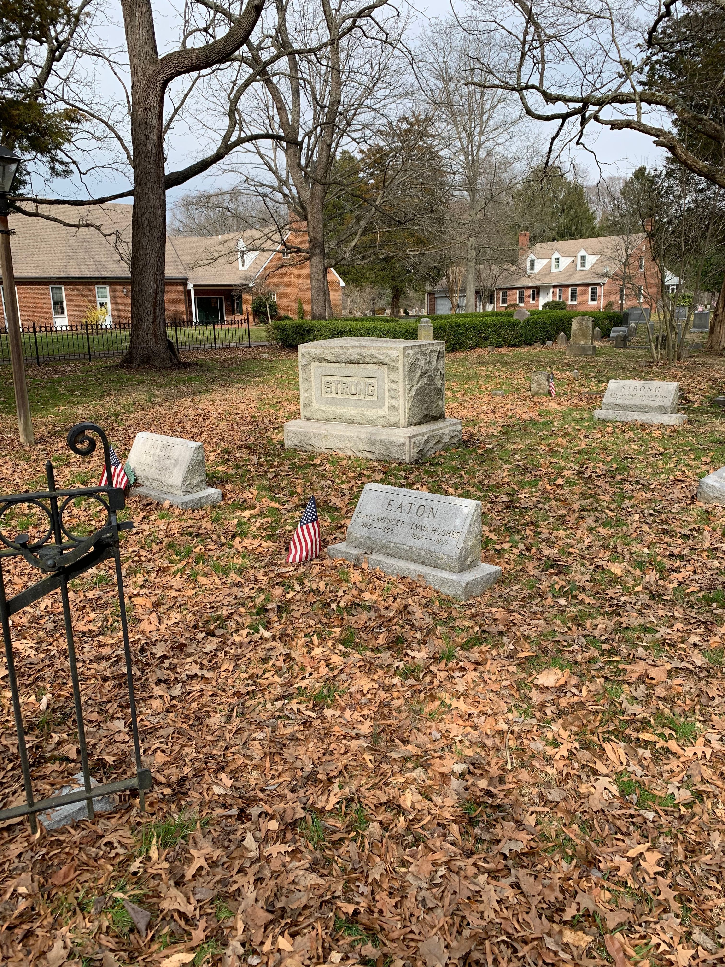
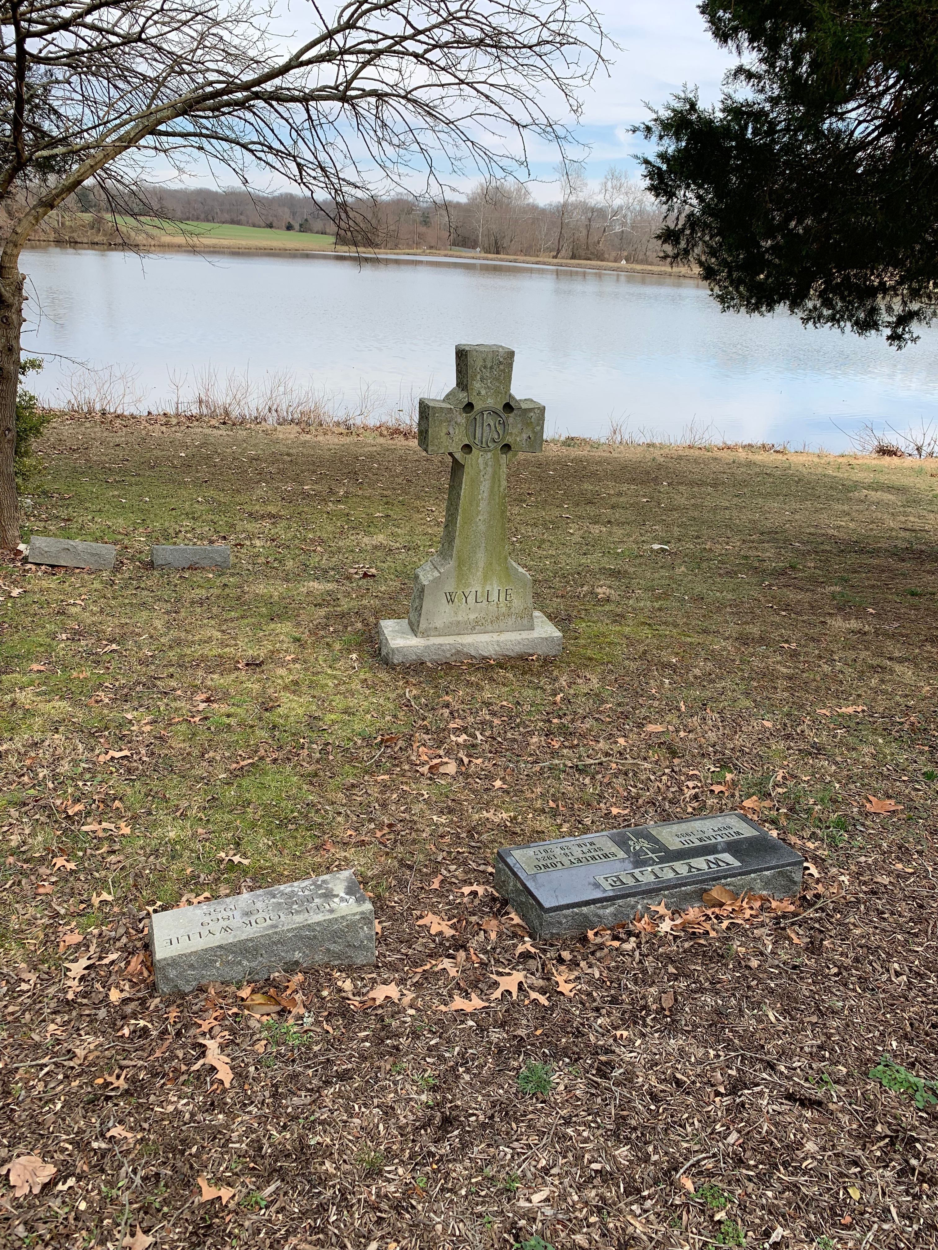
| Memorials | : | 2215 |
| Location | : | Chestertown, Kent County, USA |
| Coordinate | : | 39.1871740, -76.1794370 |
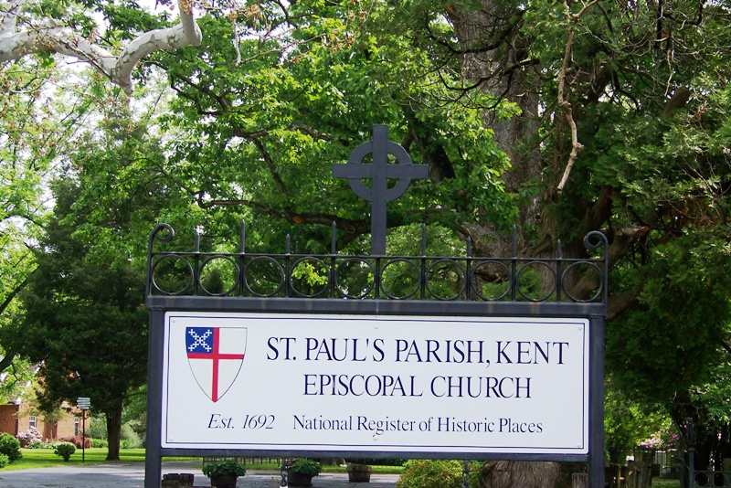
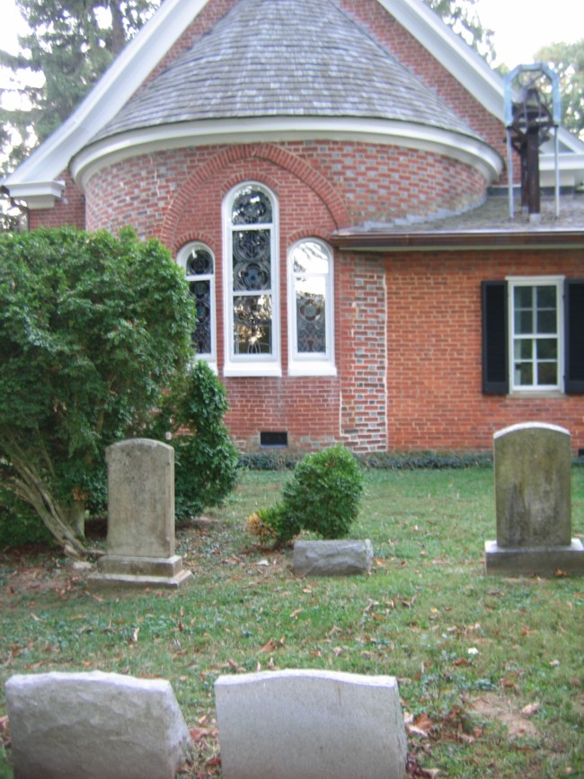
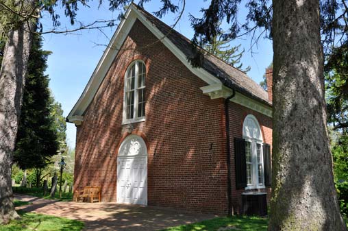
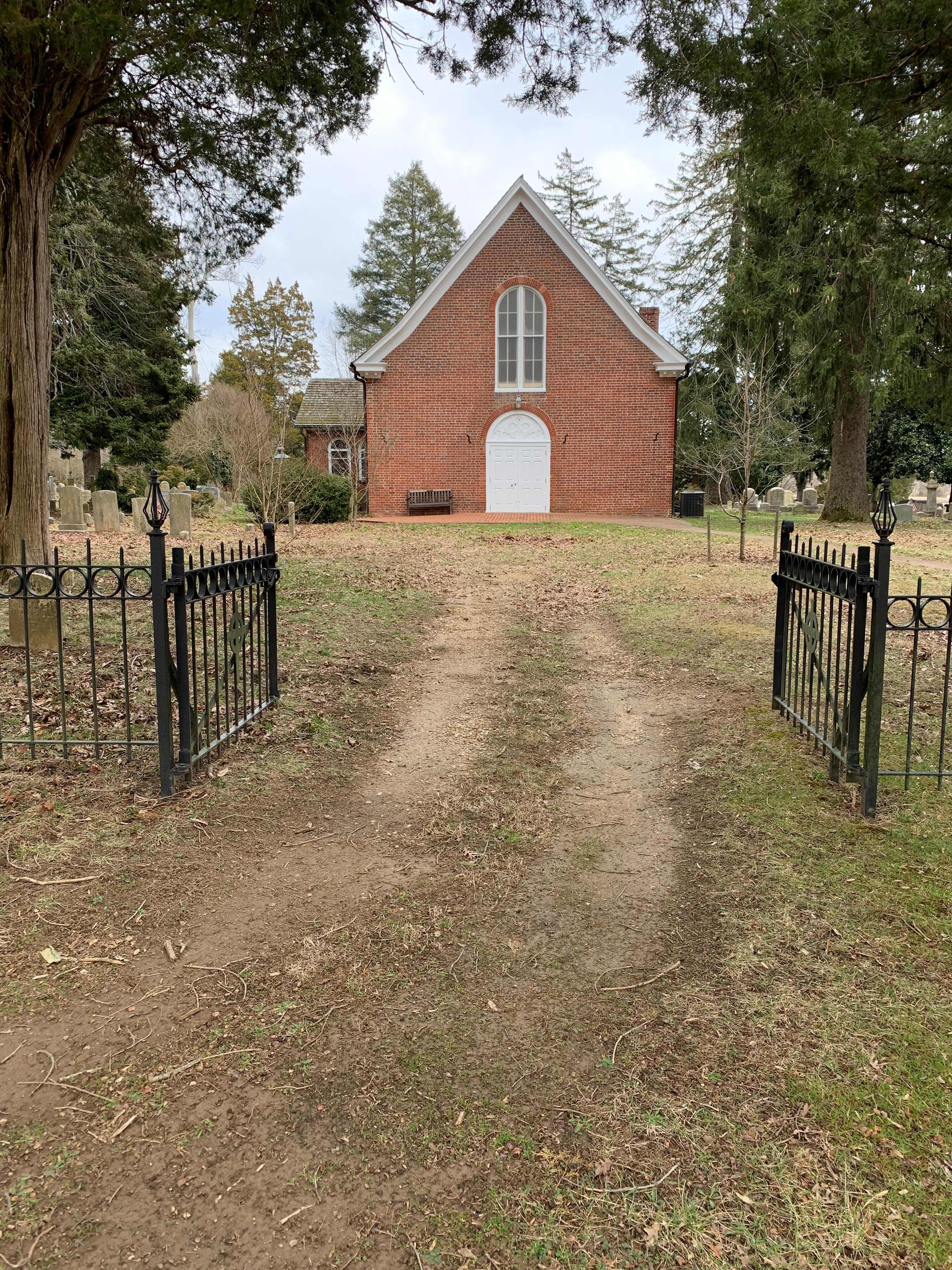
| Description | : | St. Paul's Episcopal Church and Cemetery is located approximately 7.7 miles west of Chestertown, Via MD-20 West, left on MD-446 South, right on Ricauds Branch Road right on Sandy Bottom Road approximately 160 yards.. The actual address is 7579 Sandy Bottom Road, Chestertown, MD 21620. Telephone 410-778-1540. St. Paul's Parish was formed in 1692, and the first church building was completed in 1696. The second church building was finished in 1713, and is the oldest continuously used Episcopal Church building in Maryland. |
frequently asked questions (FAQ):
-
Where is Saint Paul's Kent Churchyard?
Saint Paul's Kent Churchyard is located at Chestertown, Kent County ,Maryland ,USA.
-
Saint Paul's Kent Churchyard cemetery's updated grave count on graveviews.com?
2214 memorials
-
Where are the coordinates of the Saint Paul's Kent Churchyard?
Latitude: 39.1871740
Longitude: -76.1794370

Nearby Cemetories:
1. Hynson Chapel Cemetery
Chestertown, Kent County, USA
Coordinate: 39.1891030, -76.1570530
2. Hadaway Chapel Cemetery
Kent County, USA
Coordinate: 39.1591988, -76.1607971
3. Asbury Cemetery
Chestertown, Kent County, USA
Coordinate: 39.2188988, -76.1986008
4. Kelsey Methodist Protestant Chapel Cemetery
Fairlee, Kent County, USA
Coordinate: 39.1494510, -76.1640940
5. Holy Trinity AME Church Cemetery
Rock Hall, Kent County, USA
Coordinate: 39.1519700, -76.2067600
6. Mount Pleasant Cemetery
Fairlee, Kent County, USA
Coordinate: 39.2313995, -76.1669006
7. Wesley Chapel Cemetery
Rock Hall, Kent County, USA
Coordinate: 39.1450005, -76.2181015
8. Bond Chapel Cemetery
Kent County, USA
Coordinate: 39.1585999, -76.1136017
9. Trew Family Cemetery
Chestertown, Kent County, USA
Coordinate: 39.1327553, -76.1409607
10. Aaron's Chapel Church Cemetery
Kent County, USA
Coordinate: 39.1350600, -76.2235650
11. Emmanuel United Methodist Church Cemetery
Pomona, Kent County, USA
Coordinate: 39.1623700, -76.1029500
12. Saint Johns Cemetery
Rock Hall, Kent County, USA
Coordinate: 39.1330986, -76.2319031
13. Piney Neck Cemetery
Rock Hall, Kent County, USA
Coordinate: 39.1206660, -76.1966180
14. Mowbray Chapel
Cliffs City, Kent County, USA
Coordinate: 39.1201105, -76.1430046
15. Comegys Bight Cemetery
Chestertown, Kent County, USA
Coordinate: 39.1204033, -76.1325912
16. Ashley Cemetery
Rock Hall, Kent County, USA
Coordinate: 39.1107030, -76.1942110
17. Ashley Burial Ground
Rock Hall, Kent County, USA
Coordinate: 39.1107020, -76.1942100
18. Jane's Cemetery
Chestertown, Kent County, USA
Coordinate: 39.1869020, -76.0743800
19. Chester Cemetery
Chestertown, Kent County, USA
Coordinate: 39.2168999, -76.0736008
20. Saint James Cemetery
Worton, Kent County, USA
Coordinate: 39.2792015, -76.1382980
21. Conquest Farm Cemetery
Queen Anne's County, USA
Coordinate: 39.0953200, -76.1246300
22. Mount Olive Cemetery
Kent County, USA
Coordinate: 39.2827988, -76.1093979
23. Meadow and Vale Cemetery
Queen Anne's County, USA
Coordinate: 39.1735620, -76.0350920
24. Worton Union ME Church Cemetery
Worton, Kent County, USA
Coordinate: 39.2866173, -76.0948257