| Memorials | : | 5 |
| Location | : | Cole Camp, Benton County, USA |
| Coordinate | : | 38.4981150, -93.2495790 |
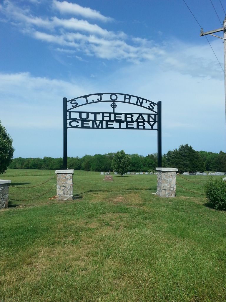
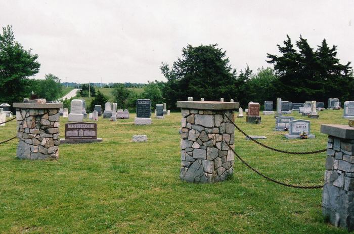
| Description | : | There are two St. John's Lutheran Cemeteries in Benton County. This one, known locally as Cheese Creek, is one and a half miles east of U.S. 65 Highway on Benton County Road NE 1060. The Church is on the north side of the road while the cemetery is on both sides. The south side is the older part of the cemetery. |
frequently asked questions (FAQ):
-
Where is Saint Johns Lutheran Cemetery?
Saint Johns Lutheran Cemetery is located at Cole Camp, Benton County ,Missouri ,USA.
-
Saint Johns Lutheran Cemetery cemetery's updated grave count on graveviews.com?
4 memorials
-
Where are the coordinates of the Saint Johns Lutheran Cemetery?
Latitude: 38.4981150
Longitude: -93.2495790
Nearby Cemetories:
1. Eastwood Cemetery
Cole Camp, Benton County, USA
Coordinate: 38.4624800, -93.2229600
2. Cole Camp Cemetery
Cole Camp, Benton County, USA
Coordinate: 38.4594002, -93.2260971
3. Trinity Lutheran Cemetery
Cole Camp, Benton County, USA
Coordinate: 38.4714012, -93.2018967
4. Eickhoff Cemetery
Cole Camp, Benton County, USA
Coordinate: 38.4707600, -93.2017300
5. Cole Camp Memorial Cemetery
Cole Camp, Benton County, USA
Coordinate: 38.4692001, -93.2007980
6. Saint Pauls Lutheran Cemetery
Cole Camp, Benton County, USA
Coordinate: 38.4681015, -93.2007980
7. Cole Camp Cemetery Original
Cole Camp, Benton County, USA
Coordinate: 38.4585500, -93.2020500
8. Point Pleasant Cemetery
Green Ridge, Pettis County, USA
Coordinate: 38.5501800, -93.2717100
9. Saint Pauls Lutheran Cemetery Original
Cole Camp, Benton County, USA
Coordinate: 38.4563300, -93.2036200
10. First Baptist Cemetery
Cole Camp, Benton County, USA
Coordinate: 38.4506000, -93.2135300
11. Kerber Family Farm Cemetery
Cole Camp, Benton County, USA
Coordinate: 38.4438200, -93.2717500
12. Saints Peter and Paul Catholic Cemetery
Cole Camp, Benton County, USA
Coordinate: 38.4551200, -93.1979900
13. Mount Olivet Church Cemetery
Cole Camp, Benton County, USA
Coordinate: 38.4416900, -93.2770200
14. Christian Cemetery
Pettis County, USA
Coordinate: 38.5080986, -93.3371964
15. Union-Williams Cemetery
Cole Camp, Benton County, USA
Coordinate: 38.4264000, -93.2329800
16. Antioch Baptist Church Cemetery
Manila, Pettis County, USA
Coordinate: 38.5526200, -93.3364600
17. Flat Creek Methodist Cemetery
Pettis County, USA
Coordinate: 38.5236015, -93.3638992
18. Saint Patricks Catholic Cemetery
Spring Fork, Pettis County, USA
Coordinate: 38.5887300, -93.2137500
19. Immanuel Lutheran Cemetery
Benton County, USA
Coordinate: 38.4308014, -93.1556015
20. Larkey Cemetery
Lincoln, Benton County, USA
Coordinate: 38.4500000, -93.3650000
21. Brauersville Immanuel Lutheran Cemetery
Cole Camp, Benton County, USA
Coordinate: 38.4677400, -93.1198600
22. Prairie Chapel Methodist Cemetery
Pettis County, USA
Coordinate: 38.5228004, -93.3818970
23. Immanuel Lutheran Cemetery
Lincoln, Benton County, USA
Coordinate: 38.4500000, -93.3710000
24. Holy Cross Cemetery First
Cole Camp, Benton County, USA
Coordinate: 38.5014100, -93.1120600


