
| Memorials | : | 25 |
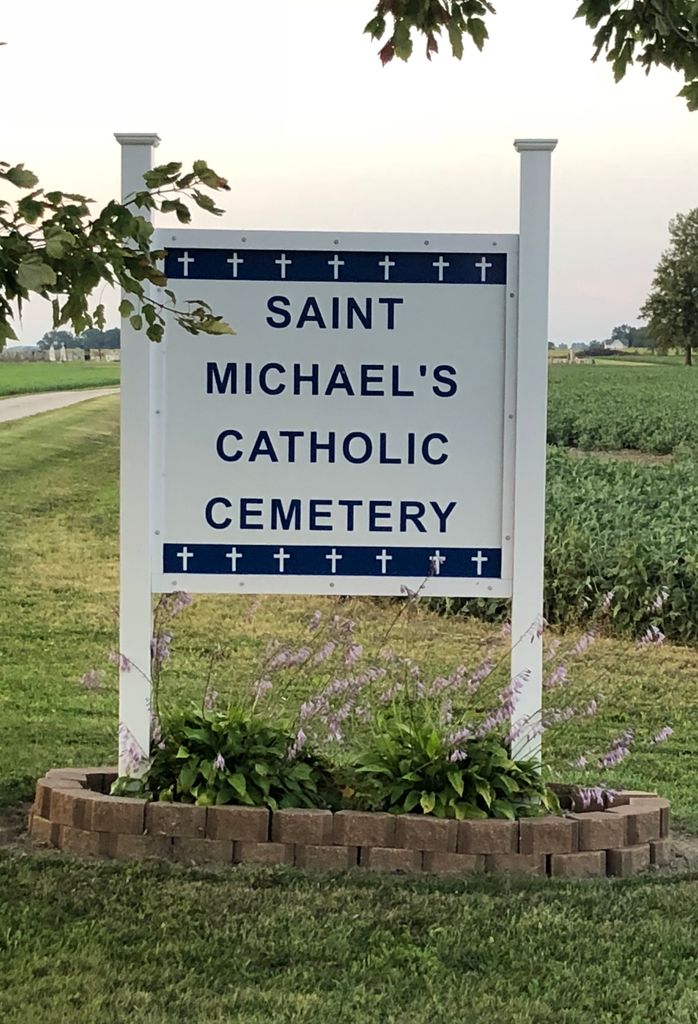
| Location | : | Frank, Seneca County, USA |
| Coordinate | : | 41.1927986, -82.8514023 |
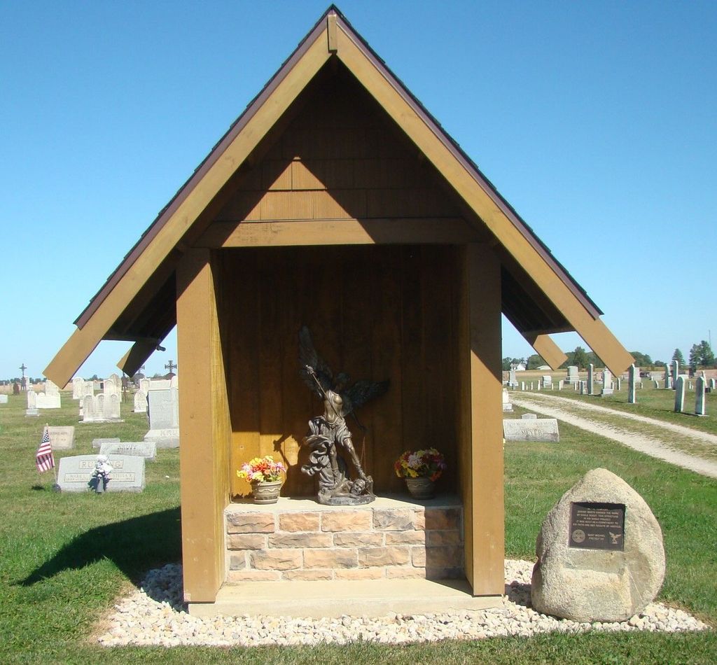
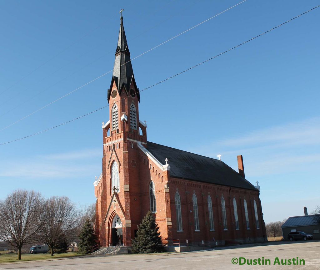
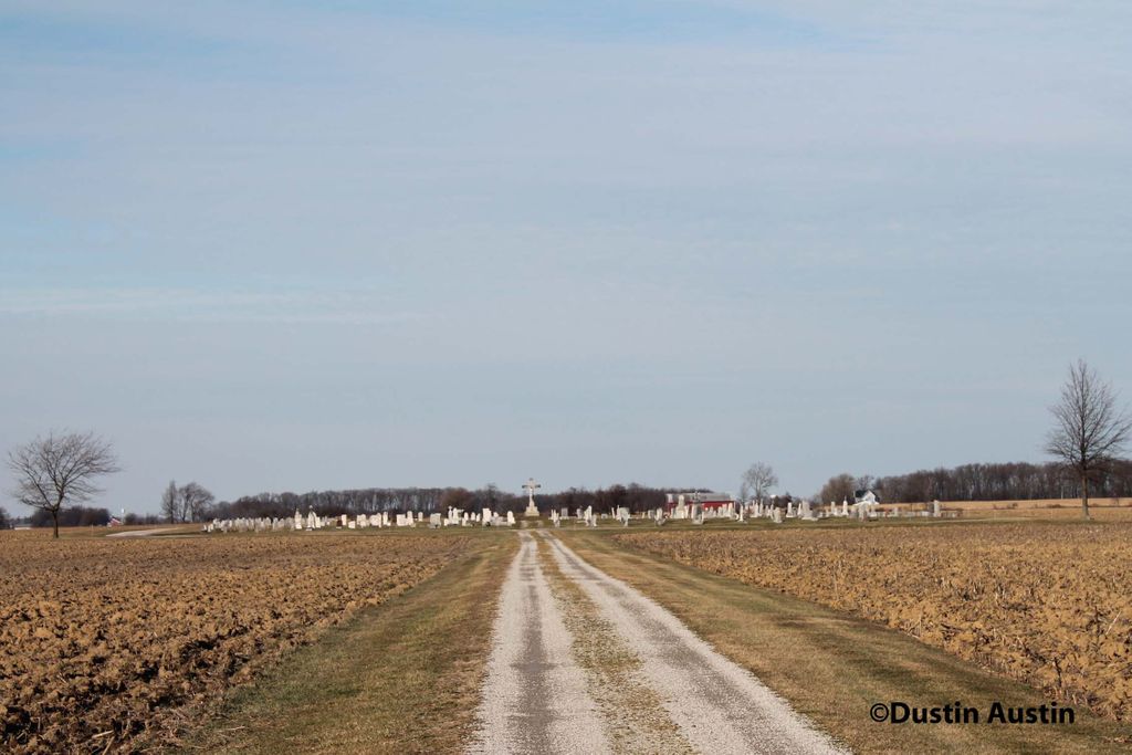
| Description | : | The cemetery is located on the north side of County Road 46 about 0.5 miles east of its intersection with County Road 29. The cemetery is located in Thompson Township, Seneca County, Ohio, and is # 14986 (Saint Michaels Cemetery / Saint Michael Cemetery) in “Ohio Cemeteries 1803-2003”, compiled by the Ohio Genealogical Society. The cemetery is registered with the Ohio Division of Real Estate and Professional Licensing (ODRE) as St. Michael Cemetery with registration license number CBR.0000981983. The U.S. Geological Survey (USGS) Geographic Names Information System (GNIS) feature ID for the cemetery is 1045713 (Saint Michaels Cemetery). |
frequently asked questions (FAQ):
-
Where is Saint Michaels Cemetery?
Saint Michaels Cemetery is located at County Road 46 Frank, Seneca County ,Ohio , 44811USA.
-
Saint Michaels Cemetery cemetery's updated grave count on graveviews.com?
24 memorials
-
Where are the coordinates of the Saint Michaels Cemetery?
Latitude: 41.1927986
Longitude: -82.8514023
Nearby Cemetories:
1. Underhill Cemetery
Seneca County, USA
Coordinate: 41.2098030, -82.8758530
2. Jones Cemetery
Sherman Township, Huron County, USA
Coordinate: 41.1864400, -82.8063500
3. Bishop Seybert Cemetery
Flat Rock, Seneca County, USA
Coordinate: 41.2257996, -82.8739014
4. Saint Pauls German Lutheran Cemetery
Lyme Township, Huron County, USA
Coordinate: 41.2268600, -82.8172600
5. Thompson Center Cemetery
Seneca County, USA
Coordinate: 41.2117004, -82.9024963
6. Reed Assumption Catholic Church Cemetery
Reedtown, Seneca County, USA
Coordinate: 41.1531800, -82.8792000
7. Saint Sebastian Catholic Cemetery
Bismarck, Huron County, USA
Coordinate: 41.1642600, -82.7915400
8. Fireside Cemetery
Seneca County, USA
Coordinate: 41.2270000, -82.9072100
9. Bellevue Cemetery
Bellevue, Huron County, USA
Coordinate: 41.2658005, -82.8368988
10. Omar Cemetery
Reedtown, Seneca County, USA
Coordinate: 41.1189003, -82.8630981
11. Immaculate Conception Cemetery
Bellevue, Huron County, USA
Coordinate: 41.2664500, -82.8340630
12. Saint Paul United Church of Christ Cemetery
Bellevue, Sandusky County, USA
Coordinate: 41.2703270, -82.8485000
13. Hunts Corners Cemetery
Hunts Corners, Huron County, USA
Coordinate: 41.2203800, -82.7539700
14. Banks of Mud Run Cemetery
Norwich Township, Huron County, USA
Coordinate: 41.1328830, -82.7843370
15. Boughton Cemetery
Standardsburg, Huron County, USA
Coordinate: 41.1322900, -82.7851900
16. Wilson Cemetery
Peru Township, Huron County, USA
Coordinate: 41.1767870, -82.7339290
17. Wurts Cemetery
Havana, Huron County, USA
Coordinate: 41.1175770, -82.7860160
18. Trinity Episcopal Cemetery
Bellevue, Huron County, USA
Coordinate: 41.2633150, -82.7768610
19. Lyme Cemetery
Monroeville, Huron County, USA
Coordinate: 41.2313995, -82.7403030
20. Union Cemetery
Seneca County, USA
Coordinate: 41.2118988, -82.9710999
21. Saint Peter Lutheran Cemetery
Pontiac, Huron County, USA
Coordinate: 41.1923400, -82.7289800
22. Payne Cemetery
Seneca County, USA
Coordinate: 41.1986690, -82.9750770
23. Adams Lutheran Cemetery
Republic, Seneca County, USA
Coordinate: 41.1824646, -82.9758987
24. York Free Chapel Cemetery
York, Sandusky County, USA
Coordinate: 41.2803100, -82.8982300