
| Memorials | : | 0 |
| Location | : | Poolesville, Montgomery County, USA |
| Coordinate | : | 39.0976100, -77.3832900 |
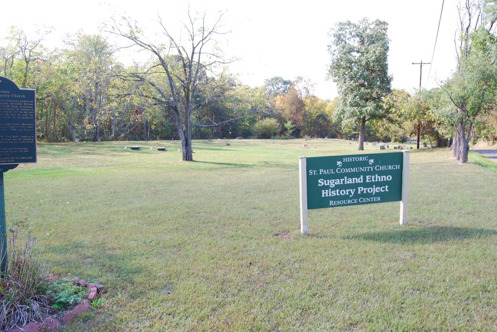
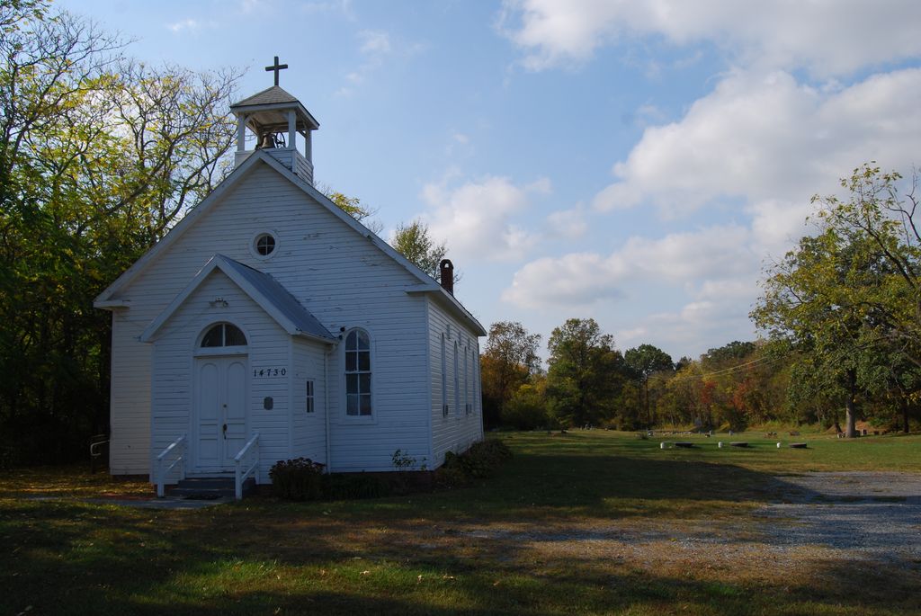
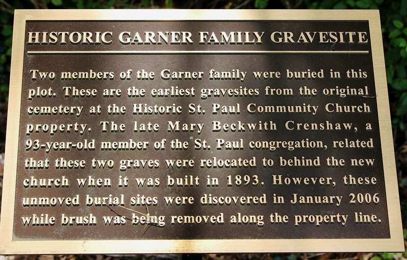
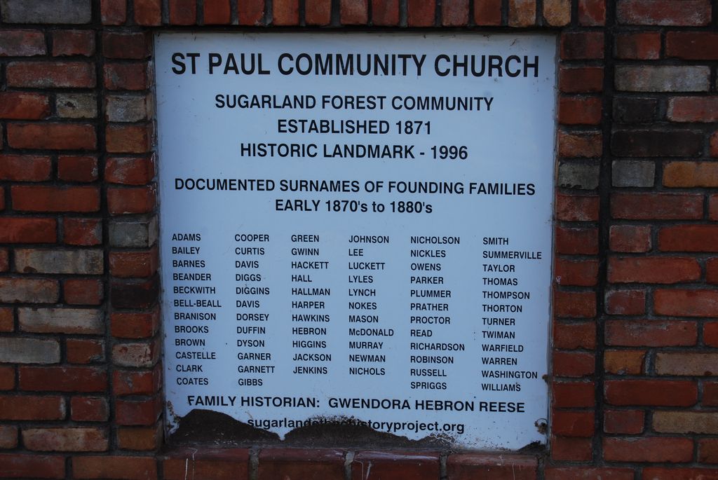
| Description | : | This area of Poolesville, Maryland is also known as Sugarland. Former names of this church include: Sugarland Forest ME Church (1871), Curtisville ME (1880), Taylor's Chapel (1890). Burials date to last quarter of 19th century, but 1905 is the oldest known. |
frequently asked questions (FAQ):
-
Where is Saint Paul Community Church Cemetery?
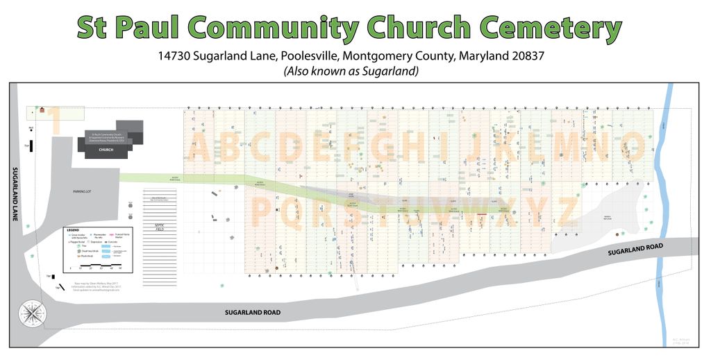
Saint Paul Community Church Cemetery is located at 14730 Sugarland Road Poolesville, Montgomery County ,Maryland , 20837USA.
-
Saint Paul Community Church Cemetery cemetery's updated grave count on graveviews.com?
0 memorials
-
Where are the coordinates of the Saint Paul Community Church Cemetery?
Latitude: 39.0976100
Longitude: -77.3832900
Nearby Cemetories:
1. Wood Family Cemetery
Poolesville, Montgomery County, USA
Coordinate: 39.1211540, -77.3844750
2. Montevideo Cemetery
Seneca, Montgomery County, USA
Coordinate: 39.0872900, -77.3507500
3. Clipper Family Cemetery
Seneca, Montgomery County, USA
Coordinate: 39.0694770, -77.3641010
4. Darnall Family Cemetery
Poolesville, Montgomery County, USA
Coordinate: 39.1275300, -77.3682300
5. Aud Family Cemetery
Poolesville, Montgomery County, USA
Coordinate: 39.1183700, -77.4311000
6. Jenkins Family Cemetery
Sterling, Loudoun County, USA
Coordinate: 39.0584290, -77.4212600
7. Seneca Community Church Cemetery
Darnestown, Montgomery County, USA
Coordinate: 39.0725000, -77.3276100
8. Poolesville Methodist Episcopal Church Cemetery
Poolesville, Montgomery County, USA
Coordinate: 39.1453100, -77.4183100
9. Dulin-Keene Cemetery
Sterling, Loudoun County, USA
Coordinate: 39.0419200, -77.3892000
10. Dawson Family Cemetery
Dawsonville, Montgomery County, USA
Coordinate: 39.1376330, -77.3307140
11. Poole Family Cemetery
Poolesville, Montgomery County, USA
Coordinate: 39.1527010, -77.4123580
12. Elijah United Methodist Church Cemetery
Poolesville, Montgomery County, USA
Coordinate: 39.1516500, -77.4159800
13. Offutt Family Cemetery
Darnestown, Montgomery County, USA
Coordinate: 39.0865700, -77.3071900
14. Pleasant Hills Cemetery
Darnestown, Montgomery County, USA
Coordinate: 39.1098340, -77.3033990
15. Chiswell Family Cemetery
Poolesville, Montgomery County, USA
Coordinate: 39.1542500, -77.4197400
16. Button Farm Slavery Burials
Germantown, Montgomery County, USA
Coordinate: 39.1283456, -77.3118924
17. Jerusalem Baptist Church Cemetery New
Poolesville, Montgomery County, USA
Coordinate: 39.1631500, -77.4028300
18. Brewer Family Cemetery
Beallsville, Montgomery County, USA
Coordinate: 39.1658380, -77.3954871
19. Jerusalem Baptist Church Cemetery Old
Montgomery County, USA
Coordinate: 39.1646300, -77.4043500
20. Gott Family Farm - The Fertile Plains
Bucklodge, Montgomery County, USA
Coordinate: 39.1614100, -77.3408300
21. Darne Family Cemetery (Defunct)
Darnestown, Montgomery County, USA
Coordinate: 39.1033520, -77.2909020
22. Hickman Family Cemetery
Poolesville, Montgomery County, USA
Coordinate: 39.1104630, -77.4750000
23. Smiths Chapel Methodist Cemetery
Great Falls, Fairfax County, USA
Coordinate: 39.0313988, -77.3394012
24. Darnestown Presbyterian Church Cemetery
Darnestown, Montgomery County, USA
Coordinate: 39.1029400, -77.2860400