
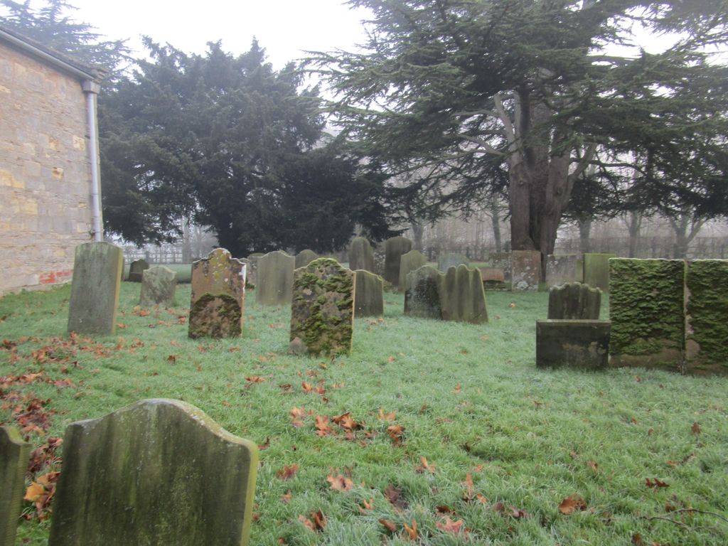
| Memorials | : | 8 |
| Location | : | Kettlethorpe, West Lindsey District, England |
| Coordinate | : | 53.2714805, -0.7298717 |
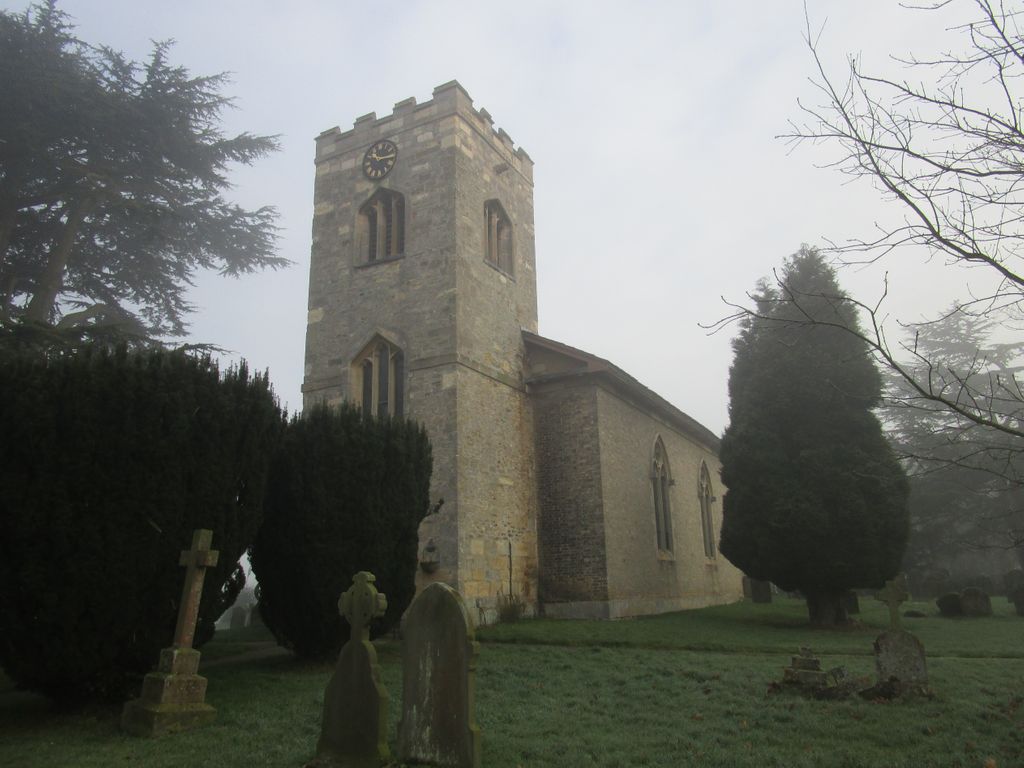
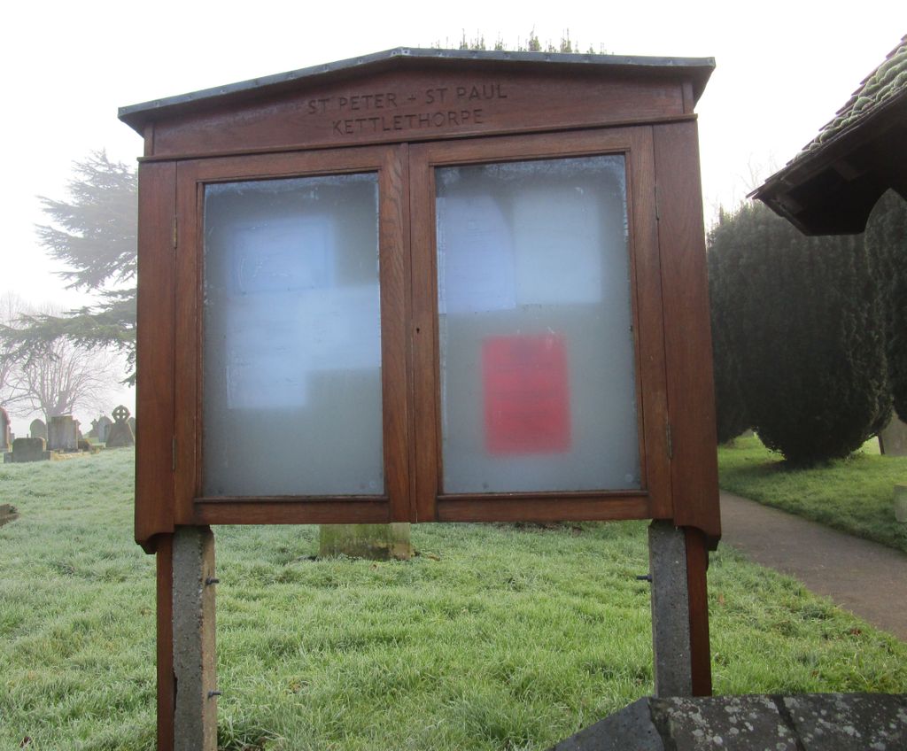
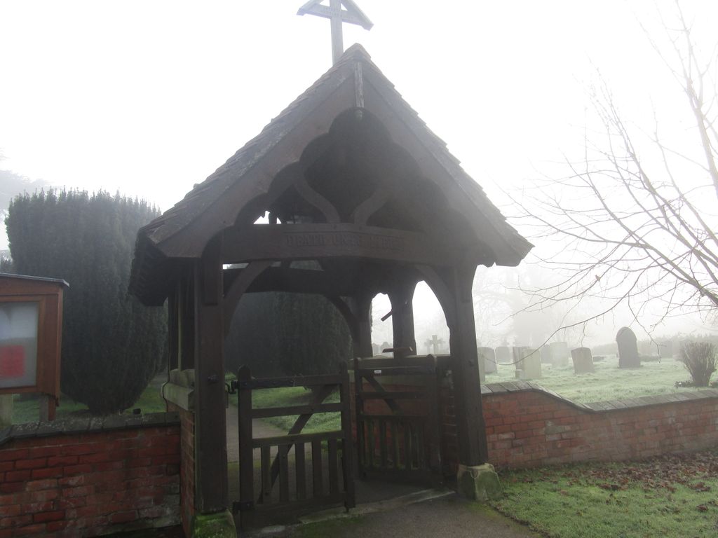
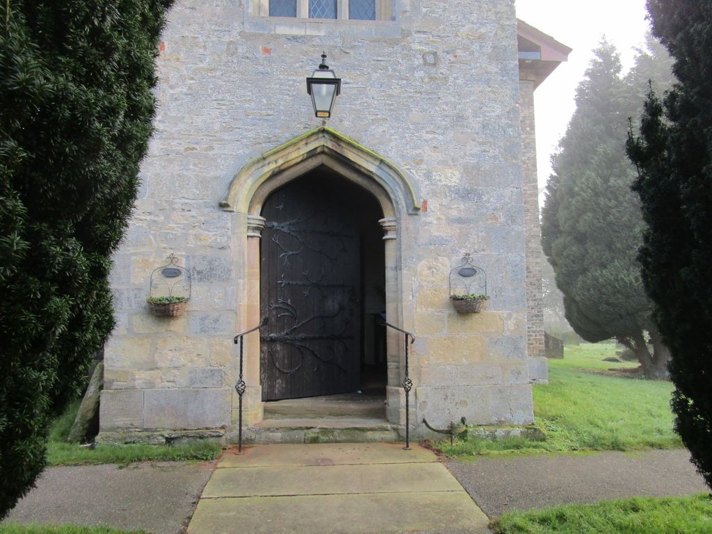
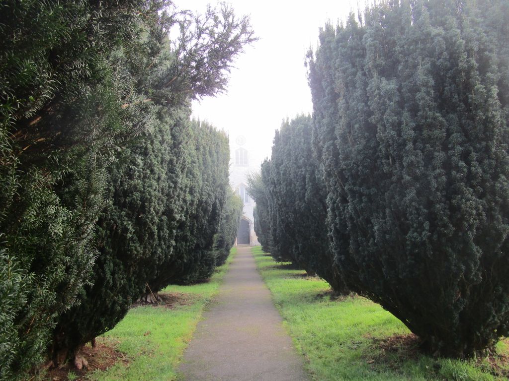
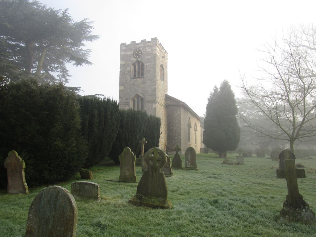
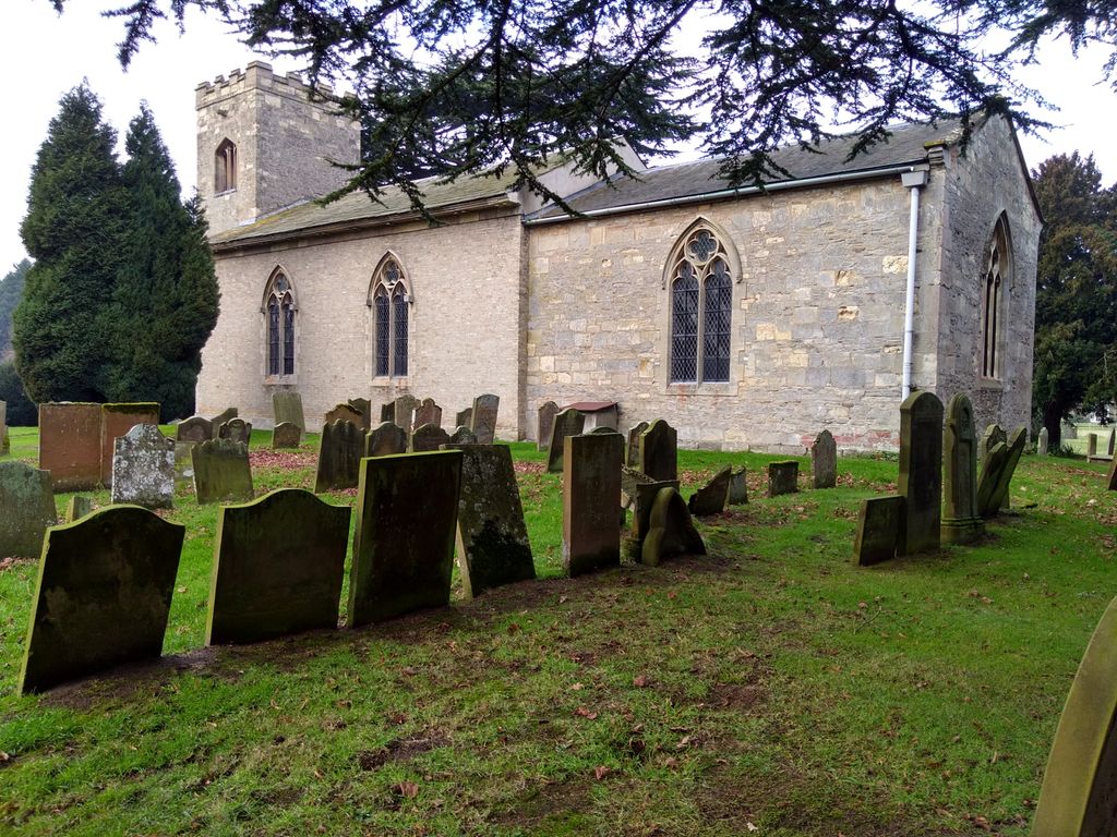
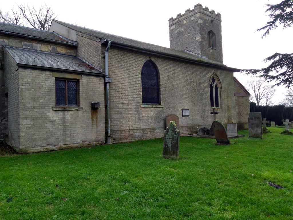
| Description | : | Kettlethorpe parish church, dedicated to St Peter & St Paul, dates from the 15th century. It was largely rebuilt in the early 19th century from yellow brick and limestone. It contains a fine 16th century pulpit sourced in Brittany. It is set in the fields of Lincolnshire, south of the village of Kettlethorpe and north of the restored manor house. Kettlethorpe manor is associated with Katherine Swynford (c1350 - 1403), widow of Sir Hugh Swynford. She became mistress, and later the third wife, of John of Gaunt. In the churchyard are the remains of a cross,... Read More |
frequently asked questions (FAQ):
-
Where is Saint Peter And Saint Paul Churchyard?
Saint Peter And Saint Paul Churchyard is located at Kettlethorpe, West Lindsey District ,Lincolnshire ,England.
-
Saint Peter And Saint Paul Churchyard cemetery's updated grave count on graveviews.com?
8 memorials
-
Where are the coordinates of the Saint Peter And Saint Paul Churchyard?
Latitude: 53.2714805
Longitude: -0.7298717
Nearby Cemetories:
1. St. Peter's Churchyard
Newton on Trent, West Lindsey District, England
Coordinate: 53.2601290, -0.7528380
2. St. Botolph Churchyard
Saxilby, West Lindsey District, England
Coordinate: 53.2747300, -0.6591000
3. Saxilby Cemetery
Saxilby, West Lindsey District, England
Coordinate: 53.2755800, -0.6590400
4. St Leonards Churchyard
Ragnall, Bassetlaw District, England
Coordinate: 53.2540200, -0.7993100
5. St. Gregory Churchyard
Fledborough, Bassetlaw District, England
Coordinate: 53.2406090, -0.7847320
6. Holy Trinity Churchyard
Cottam, Bassetlaw District, England
Coordinate: 53.3112500, -0.7732600
7. All Saints Churchyard
Rampton, Bassetlaw District, England
Coordinate: 53.2984394, -0.8019018
8. All Saints Churchyard
Harby, Newark and Sherwood District, England
Coordinate: 53.2242190, -0.6860660
9. Marton Cemetery
Marton, West Lindsey District, England
Coordinate: 53.3251500, -0.7468200
10. Saint Margaret of Antioch Churchyard
Marton, West Lindsey District, England
Coordinate: 53.3260600, -0.7406500
11. St. Peter's Churchyard
Stokeham, Bassetlaw District, England
Coordinate: 53.2835800, -0.8279800
12. Sturton by Stow Quaker Cemetery
Sturton-by-Stow, West Lindsey District, England
Coordinate: 53.3173590, -0.6644260
13. All Saints Churchyard
Broxholme, West Lindsey District, England
Coordinate: 53.2922400, -0.6349600
14. Sturton by Stow
Sturton-by-Stow, West Lindsey District, England
Coordinate: 53.3192800, -0.6677000
15. Stow Cemetery
Stow, West Lindsey District, England
Coordinate: 53.3252100, -0.6811100
16. St Giles Churchyard
Darlton, Bassetlaw District, England
Coordinate: 53.2543300, -0.8339000
17. St. Peter's Churchyard
East Drayton, Bassetlaw District, England
Coordinate: 53.2691900, -0.8387700
18. St. Helen's Churchyard
Gate Burton, West Lindsey District, England
Coordinate: 53.3364060, -0.7420920
19. St. Nicholas Churchyard
Littleborough, Bassetlaw District, England
Coordinate: 53.3339600, -0.7632600
20. St Wilfrid's Churchyard
Marnham, Bassetlaw District, England
Coordinate: 53.2155000, -0.7933000
21. St. John the Baptist Churchyard
Treswell, Bassetlaw District, England
Coordinate: 53.3057600, -0.8285600
22. Woodbank Cemetery
Skellingthorpe, North Kesteven District, England
Coordinate: 53.2375380, -0.6229660
23. St Matthew's Churchyard
Normanton-on-Trent, Bassetlaw District, England
Coordinate: 53.2124500, -0.8172600
24. Brotts Road Cemetery
Normanton-on-Trent, Bassetlaw District, England
Coordinate: 53.2092038, -0.8128064