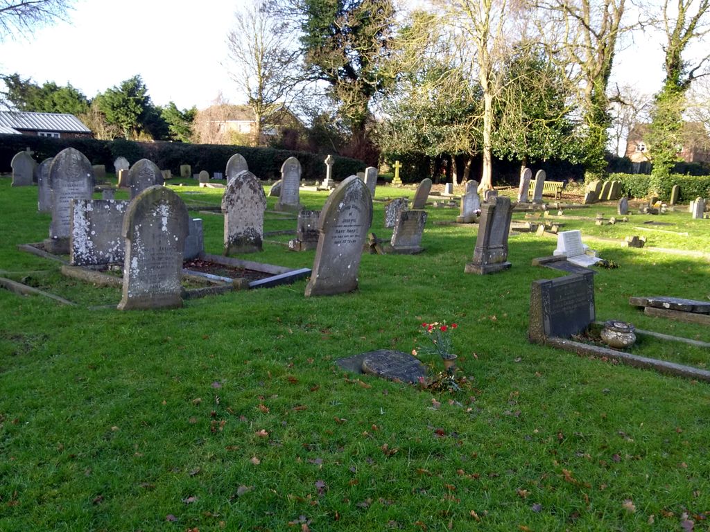
| Memorials | : | 8 |
| Location | : | Saxilby, West Lindsey District, England |
| Coordinate | : | 53.2747300, -0.6591000 |
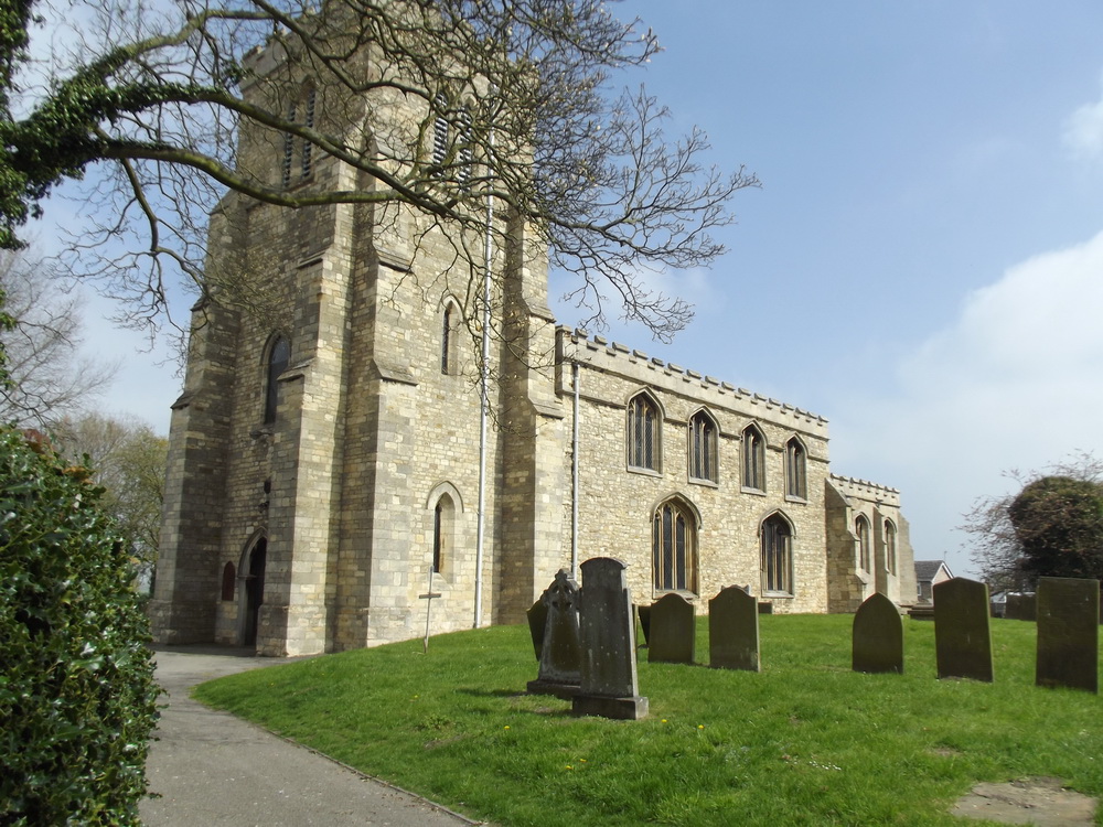
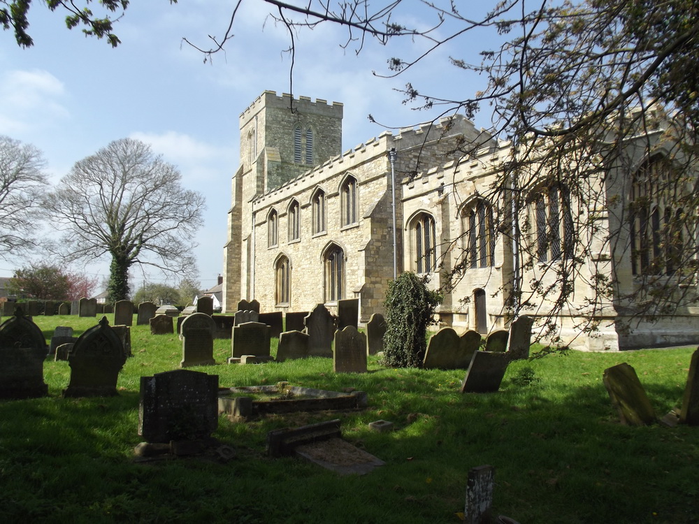
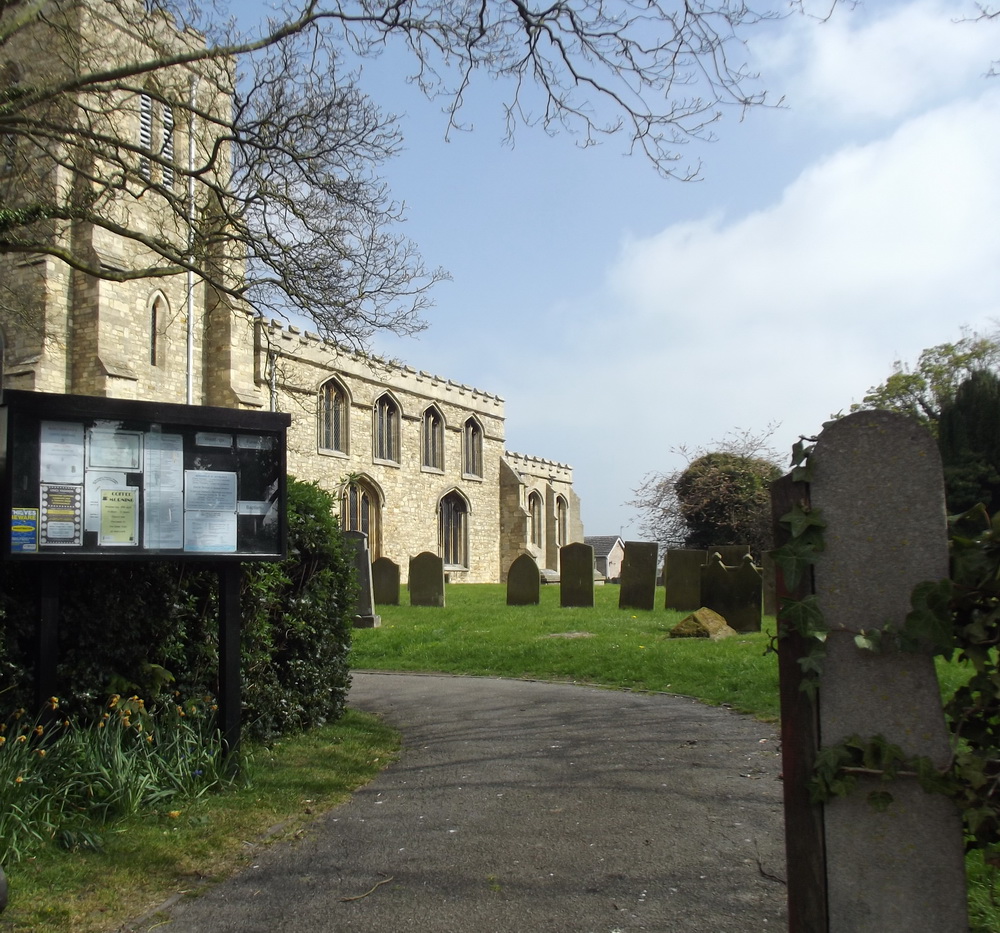
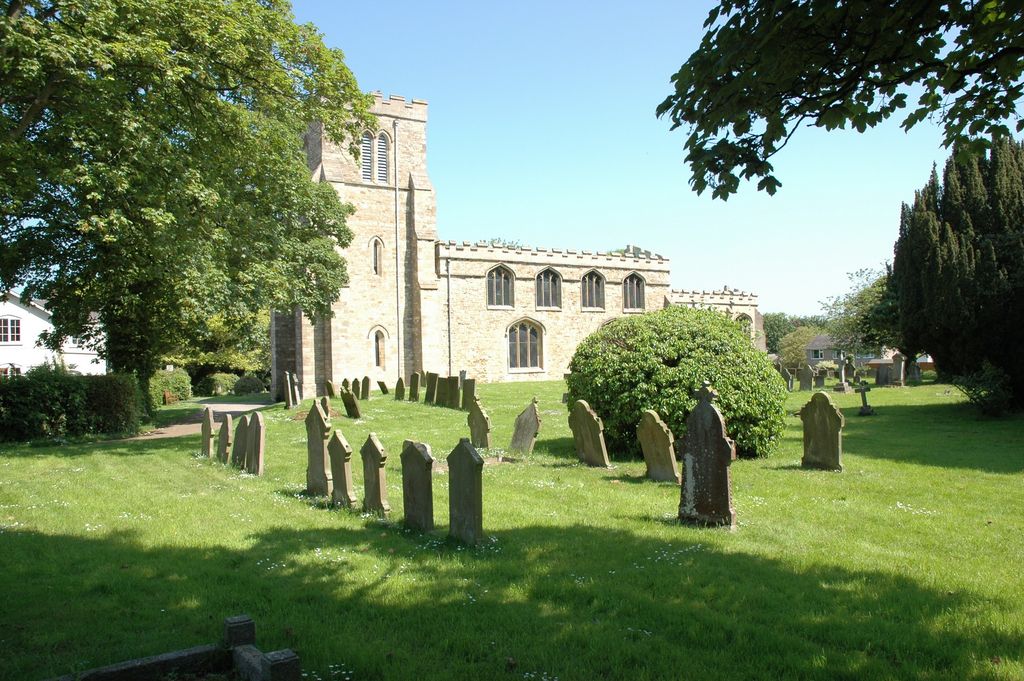
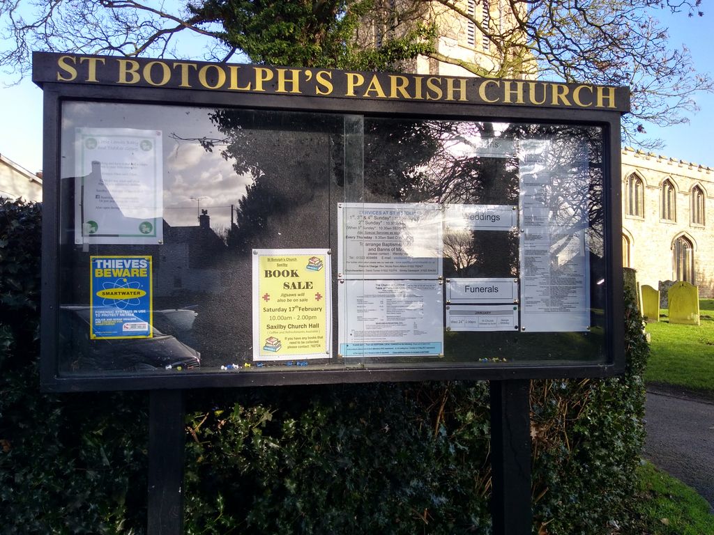
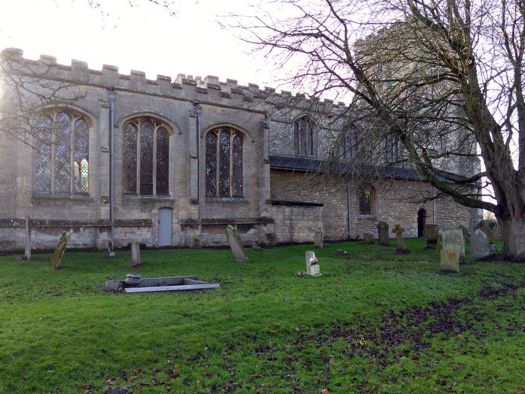
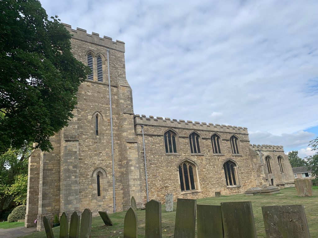
| Description | : | The Parish Church of St Botolph-Saxilby with Ingleby is thought to date back to about A.D 1100 and is best seen from the outside.On the south wall a list of priests who have served this church since 1209 can be seen, also noted there are the names of the priests from the chapel of Ingleby from the time of the domesday book in 1086. The churchyard is closed to new burials, burials from 1970's in Saxilby Cemetery to the north of the Church. |
frequently asked questions (FAQ):
-
Where is St. Botolph Churchyard?
St. Botolph Churchyard is located at Church Lane Saxilby, West Lindsey District ,Lincolnshire , LN1 2PSEngland.
-
St. Botolph Churchyard cemetery's updated grave count on graveviews.com?
2 memorials
-
Where are the coordinates of the St. Botolph Churchyard?
Latitude: 53.2747300
Longitude: -0.6591000
Nearby Cemetories:
1. Saxilby Cemetery
Saxilby, West Lindsey District, England
Coordinate: 53.2755800, -0.6590400
2. All Saints Churchyard
Broxholme, West Lindsey District, England
Coordinate: 53.2922400, -0.6349600
3. Saint Peter And Saint Paul Churchyard
Kettlethorpe, West Lindsey District, England
Coordinate: 53.2714805, -0.7298717
4. Sturton by Stow Quaker Cemetery
Sturton-by-Stow, West Lindsey District, England
Coordinate: 53.3173590, -0.6644260
5. Woodbank Cemetery
Skellingthorpe, North Kesteven District, England
Coordinate: 53.2375380, -0.6229660
6. Sturton by Stow
Sturton-by-Stow, West Lindsey District, England
Coordinate: 53.3192800, -0.6677000
7. St. Luke's Churchyard
North Carlton, West Lindsey District, England
Coordinate: 53.2873000, -0.5831200
8. St. John the Baptist Churchyard
South Carlton, West Lindsey District, England
Coordinate: 53.2785000, -0.5754000
9. Stow Cemetery
Stow, West Lindsey District, England
Coordinate: 53.3252100, -0.6811100
10. All Saints Churchyard
Harby, Newark and Sherwood District, England
Coordinate: 53.2242190, -0.6860660
11. St. John the Baptist Churchyard
Scampton, West Lindsey District, England
Coordinate: 53.3037680, -0.5787140
12. St. Peter's Churchyard
Newton on Trent, West Lindsey District, England
Coordinate: 53.2601290, -0.7528380
13. St Peter's Churchyard
Aisthorpe, West Lindsey District, England
Coordinate: 53.3102400, -0.5815300
14. St. Vincent Churchyard
Burton, West Lindsey District, England
Coordinate: 53.2596400, -0.5598100
15. St Cuthbert's Churchyard
Brattleby, West Lindsey District, England
Coordinate: 53.3156600, -0.5794750
16. St. Edith Churchyard
Coates-by-Stow, West Lindsey District, England
Coordinate: 53.3369700, -0.6377300
17. Dam Busters Dog Memorial
Scampton, West Lindsey District, England
Coordinate: 53.3008200, -0.5495800
18. Saint Margaret of Antioch Churchyard
Marton, West Lindsey District, England
Coordinate: 53.3260600, -0.7406500
19. St. Michael's Churchyard
Cammeringham, West Lindsey District, England
Coordinate: 53.3275480, -0.5781450
20. Marton Cemetery
Marton, West Lindsey District, England
Coordinate: 53.3251500, -0.7468200
21. Holy Trinity Churchyard
Cottam, Bassetlaw District, England
Coordinate: 53.3112500, -0.7732600
22. St. Helen's Churchyard
Gate Burton, West Lindsey District, England
Coordinate: 53.3364060, -0.7420920
23. St. Mary's Churchyard
Riseholme, West Lindsey District, England
Coordinate: 53.2688200, -0.5264900
24. St Nicholas Parish Churchyard
Lincoln, City of Lincoln, England
Coordinate: 53.2400800, -0.5376400

