
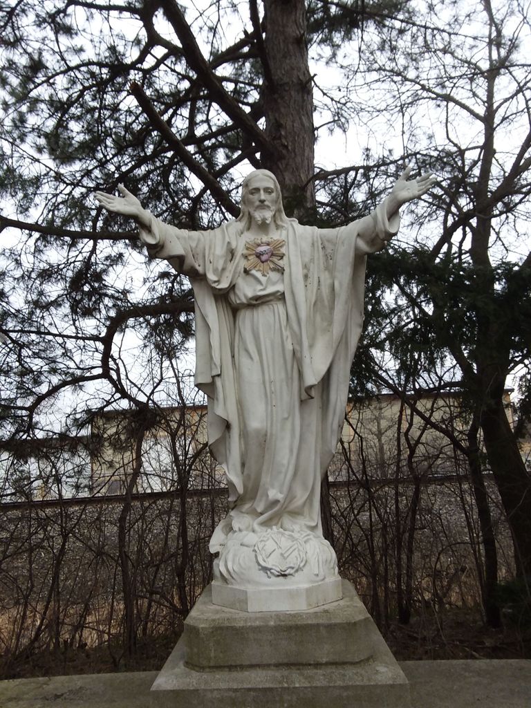
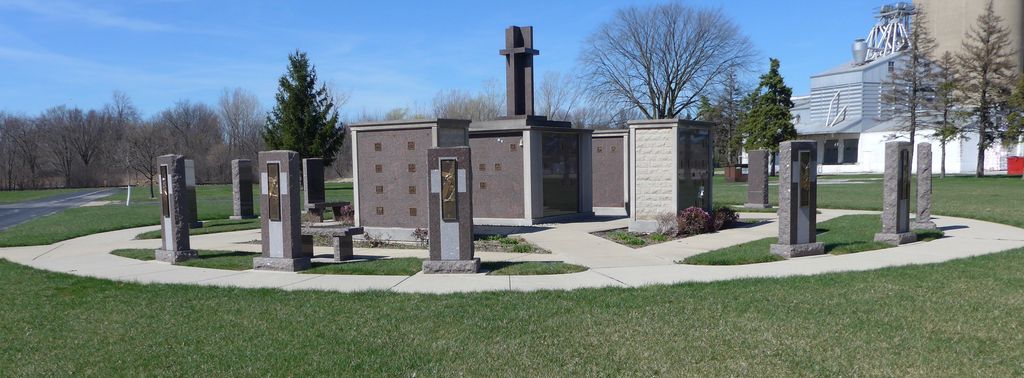
| Memorials | : | 29 |
| Location | : | Perrysburg, Wood County, USA |
| Website | : | www.saintroseonline.org/ |
| Coordinate | : | 41.5633011, -83.6149979 |
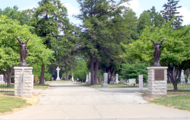
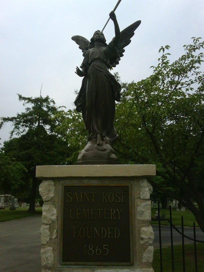
| Description | : | The cemetery is located on the north side of E Indiana Avenue (Ohio State Route 795) about 0.1 miles east of its intersection with E Boundary Street. The cemetery was established in 1872. The cemetery is located in Perrysburg Township, Wood County, Ohio, and is # 12895 (Saint Rose Catholic Cemetery / Saint Rose Cemetery) in |
frequently asked questions (FAQ):
-
Where is Saint Rose Cemetery?
Saint Rose Cemetery is located at 11442 Avenue Rd (State Route 795) Perrysburg, Wood County ,Ohio , 43551USA.
-
Saint Rose Cemetery cemetery's updated grave count on graveviews.com?
24 memorials
-
Where are the coordinates of the Saint Rose Cemetery?
Latitude: 41.5633011
Longitude: -83.6149979
Nearby Cemetories:
1. Old Perrysburg Township Cemetery
Perrysburg, Wood County, USA
Coordinate: 41.5595820, -83.6214290
2. Zoar Lutheran Memorial Garden
Perrysburg, Wood County, USA
Coordinate: 41.5585480, -83.6228730
3. Saint Timothys Episcopal Church Memorial Garden
Perrysburg, Wood County, USA
Coordinate: 41.5558000, -83.6115300
4. Hufford Cemetery
Perrysburg, Wood County, USA
Coordinate: 41.5649986, -83.5896988
5. Fort Meigs Cemetery
Perrysburg, Wood County, USA
Coordinate: 41.5517006, -83.6402969
6. Saint Pauls Episcopal Church Memorial Garden
Maumee, Lucas County, USA
Coordinate: 41.5633830, -83.6496470
7. First Presbyterian Church Memorial Garden
Maumee, Lucas County, USA
Coordinate: 41.5617060, -83.6500830
8. Fort Meigs State Memorial
Perrysburg, Wood County, USA
Coordinate: 41.5496380, -83.6517710
9. Saint Joseph Cemetery
Maumee, Lucas County, USA
Coordinate: 41.5578003, -83.6706009
10. Toledo Hebrew Cemetery
Rossford, Wood County, USA
Coordinate: 41.6040550, -83.5741780
11. Anshai Sfard Cemetery
Rossford, Wood County, USA
Coordinate: 41.6043700, -83.5736600
12. Riverside Cemetery
Maumee, Lucas County, USA
Coordinate: 41.5491982, -83.6810989
13. Toledo State Hospital New Cemetery
Toledo, Lucas County, USA
Coordinate: 41.6171048, -83.6135627
14. Fallen Timbers Battlefield Memorial Park
Monclova Township, Lucas County, USA
Coordinate: 41.5541972, -83.6899056
15. Sunshine Cemetery (Defunct)
Toledo, Lucas County, USA
Coordinate: 41.6192110, -83.5963720
16. Maplewood Cemetery
Toledo, Lucas County, USA
Coordinate: 41.6241110, -83.6245500
17. Toledo State Hospital Old Cemetery
Toledo, Lucas County, USA
Coordinate: 41.6242200, -83.6021600
18. Caswell Cemetery
Rossford, Wood County, USA
Coordinate: 41.6146180, -83.5672210
19. Saint Mary Mother of Sorrows Cemetery
Roachton, Wood County, USA
Coordinate: 41.5075970, -83.6607170
20. Swan Creek Cemetery
Monclova, Lucas County, USA
Coordinate: 41.5738983, -83.7089005
21. Saint Peters Cemetery (Defunct)
Toledo, Lucas County, USA
Coordinate: 41.6359700, -83.5843400
22. Lyon Cemetery
Perrysburg, Wood County, USA
Coordinate: 41.5205200, -83.7035500
23. Saint Patricks Catholic Cemetery (Defunct)
Toledo, Lucas County, USA
Coordinate: 41.6376880, -83.5797440
24. Karnik Memorial Garden Pet Cemetery
Waterville, Lucas County, USA
Coordinate: 41.5435980, -83.7174500