
| Memorials | : | 0 |
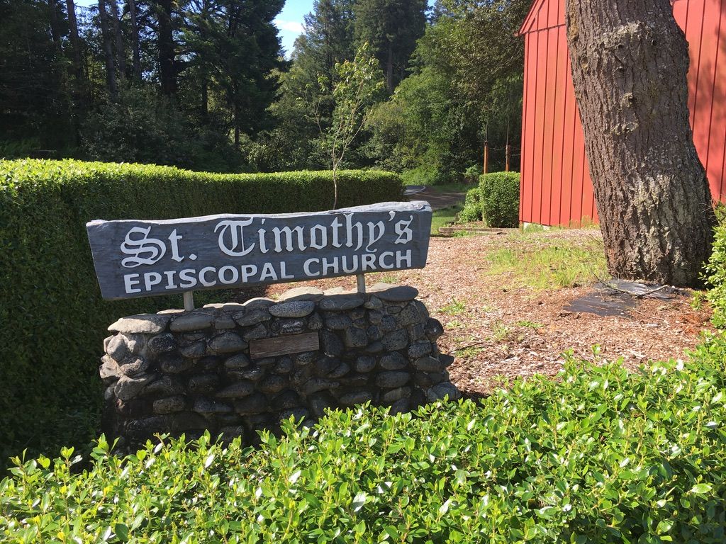
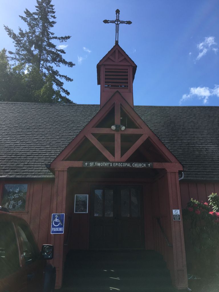
| Location | : | Brookings, Curry County, USA |
| Phone | : | 541-469-3314 |
| Website | : | www.sttimothyepiscopal.org |
| Coordinate | : | 42.0570560, -124.2757830 |
| Description | : | This memorial garden is located on the northeast corner of the church property, on the corner of Fir Street and Old County Road. It is open and always accessible. At this time (May 2019) there has only been one interment of ashes, and there is no name marker. |
frequently asked questions (FAQ):
-
Where is Saint Timothys Episcopal Church Memorial Garden?
Saint Timothys Episcopal Church Memorial Garden is located at 401 Fir Street Brookings, Curry County ,Oregon , 97415-9222USA.
-
Saint Timothys Episcopal Church Memorial Garden cemetery's updated grave count on graveviews.com?
0 memorials
-
Where are the coordinates of the Saint Timothys Episcopal Church Memorial Garden?
Latitude: 42.0570560
Longitude: -124.2757830
Nearby Cemetories:
1. Old Brookings Cemetery
Brookings, Curry County, USA
Coordinate: 42.0619130, -124.2775670
2. Ward Memorial Cemetery
Brookings, Curry County, USA
Coordinate: 42.0681000, -124.2818985
3. Van Pelt Cemetery
Harbor, Curry County, USA
Coordinate: 42.0480995, -124.2489014
4. Oceanview Cemetery
Harbor, Curry County, USA
Coordinate: 42.0424200, -124.2463400
5. Cooper Grave
Carpenterville, Curry County, USA
Coordinate: 42.1214670, -124.3382530
6. How-On-Quet Cemetery
Del Norte County, USA
Coordinate: 41.9553170, -124.2067690
7. Costelloe Cemetery
Curry County, USA
Coordinate: 42.0148780, -124.1127480
8. Smith River Cemetery
Smith River, Del Norte County, USA
Coordinate: 41.9265640, -124.1557540
9. Yontocket Indian Village Memorial Cemetery
Del Norte County, USA
Coordinate: 41.9071999, -124.1958008
10. Hanzicker Grave
Brookings, Curry County, USA
Coordinate: 42.0264310, -124.0097460
11. Forest Sky Clayberger Burial Site
Crescent City, Del Norte County, USA
Coordinate: 41.8583200, -124.2139690
12. Navy PBY-5A Aircraft Crash Site Memorial
Brookings, Curry County, USA
Coordinate: 42.1331446, -124.0036297
13. Pistol River Cemetery
Pistol River, Curry County, USA
Coordinate: 42.2902985, -124.3985977
14. Camp Lincoln Cemetery
Del Norte County, USA
Coordinate: 41.8196560, -124.1351820
15. Saint Josephs Catholic Cemetery
Crescent City, Del Norte County, USA
Coordinate: 41.7641460, -124.2019310
16. Veterans Memorial Cemetery
Crescent City, Del Norte County, USA
Coordinate: 41.7635380, -124.2008630
17. IOOF Cemetery
Crescent City, Del Norte County, USA
Coordinate: 41.7624290, -124.2002800
18. Old County Cemetery
Crescent City, Del Norte County, USA
Coordinate: 41.7618010, -124.1992180
19. Madame Gasquet Cemetery
Gasquet, Del Norte County, USA
Coordinate: 41.8497420, -123.9677980
20. Brother Jonathan Memorial
Crescent City, Del Norte County, USA
Coordinate: 41.7507030, -124.2112270
21. Brother Jonathan Cemetery
Crescent City, Del Norte County, USA
Coordinate: 41.7508011, -124.2099991
22. Elk Valley Tribal Cemetery
Crescent City, Del Norte County, USA
Coordinate: 41.7583340, -124.1468200
23. Smith Family Cemetery
Curry County, USA
Coordinate: 42.3833008, -124.4141998
24. French Hill Cemetery
Gasquet, Del Norte County, USA
Coordinate: 41.8252200, -123.9244800