
| Memorials | : | 3 |
| Location | : | Salt Creek Township, Hocking County, USA |
| Coordinate | : | 39.3903008, -82.6600037 |
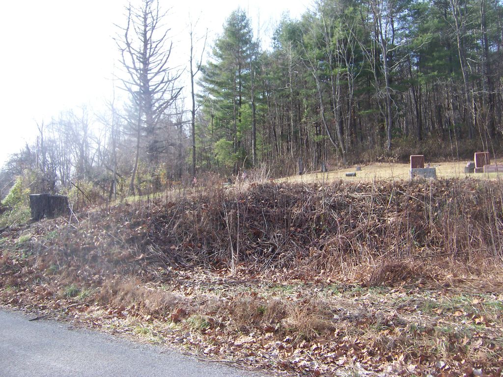
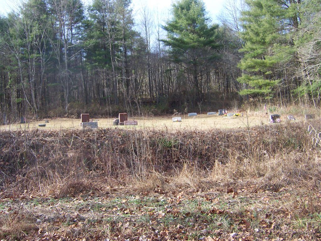
| Description | : | The cemetery is located on the west side of Blue Creek Road (Township Road 183) at its intersection with Vandergriff Road (Township Road 185). The cemetery is located in Salt Creek Township, Hocking County, Ohio, and is # 5456 (Schooley Cemetery) in “Ohio Cemeteries 1803-2003”, compiled by the Ohio Genealogical Society. The cemetery is registered with the Ohio Division of Real Estate and Professional Licensing (ODRE) as Schooley Cemetery with registration license number CGR.0000982653. The U.S. Geological Survey (USGS) Geographic Names Information System (GNIS) feature ID for the cemetery is 1046016 (Schooley Cemetery). |
frequently asked questions (FAQ):
-
Where is Schooley Cemetery?
Schooley Cemetery is located at Blue Creek Road (Township Road 183) Salt Creek Township, Hocking County ,Ohio , 43152USA.
-
Schooley Cemetery cemetery's updated grave count on graveviews.com?
3 memorials
-
Where are the coordinates of the Schooley Cemetery?
Latitude: 39.3903008
Longitude: -82.6600037

Nearby Cemetories:
1. Mount Carmel Cemetery
Laurelville, Hocking County, USA
Coordinate: 39.3804520, -82.6763820
2. Harper Cemetery
Salt Creek Township, Hocking County, USA
Coordinate: 39.4141830, -82.6312380
3. Beery Cemetery
South Bloomingville, Hocking County, USA
Coordinate: 39.4141998, -82.6311035
4. Zion Church Cemetery
Salt Creek Township, Hocking County, USA
Coordinate: 39.4079600, -82.7029500
5. Beery Cemetery
South Bloomingville, Hocking County, USA
Coordinate: 39.4136700, -82.6089000
6. Chestnut Grove Cemetery
Vinton County, USA
Coordinate: 39.3703194, -82.6054535
7. Karshner Cemetery
Haynes, Hocking County, USA
Coordinate: 39.4427986, -82.6658020
8. Haynes Cemetery
Salt Creek Township, Hocking County, USA
Coordinate: 39.4411011, -82.6819000
9. South Bloomingville Cemetery
South Bloomingville, Hocking County, USA
Coordinate: 39.4160000, -82.5991600
10. Wolf Cemetery
Allensville, Vinton County, USA
Coordinate: 39.3424988, -82.6222000
11. Bethel Church Cemetery
Haynes, Hocking County, USA
Coordinate: 39.4485092, -82.6472092
12. Lebanon Cemetery
Eagle Mills, Vinton County, USA
Coordinate: 39.3319450, -82.6800960
13. Liberty Hill Cemetery
South Bloomingville, Hocking County, USA
Coordinate: 39.3953620, -82.5815690
14. Slagle Cemetery
Vinton County, USA
Coordinate: 39.3300018, -82.6430969
15. Slagle Farm Cemetery
Vinton County, USA
Coordinate: 39.3280983, -82.6436005
16. Spunk Cemetery
Vinton County, USA
Coordinate: 39.3624992, -82.5856018
17. McGee Cemetery
Eagle Mills, Vinton County, USA
Coordinate: 39.3266983, -82.6680984
18. Pike Run Cemetery
Jimtown, Vinton County, USA
Coordinate: 39.3467220, -82.7237780
19. Otterbein Chapel Cemetery
Allensville, Vinton County, USA
Coordinate: 39.3587320, -82.5804440
20. Pleasant Hill Cemetery
Adelphi, Ross County, USA
Coordinate: 39.4126300, -82.7460600
21. Union Cemetery
Eagle Mills, Vinton County, USA
Coordinate: 39.3213930, -82.6991650
22. Walnut Grove Church Cemetery
Allensville, Vinton County, USA
Coordinate: 39.3210910, -82.6155610
23. Sours Cemetery
Laurel Township, Hocking County, USA
Coordinate: 39.4678001, -82.6216965
24. Pleasant Ridge Cemetery
Laurelville, Hocking County, USA
Coordinate: 39.4765816, -82.6817322