
| Memorials | : | 13 |
| Location | : | South Bloomingville, Hocking County, USA |
| Coordinate | : | 39.4136700, -82.6089000 |
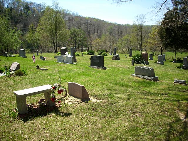
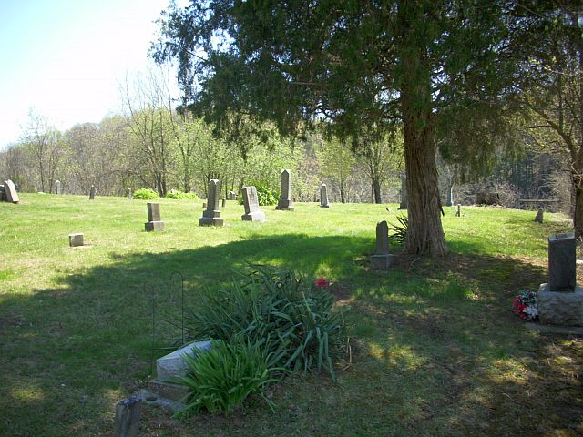
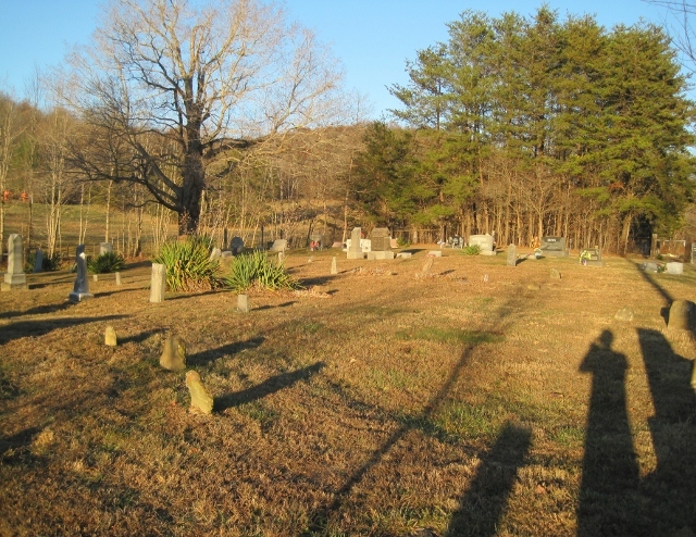
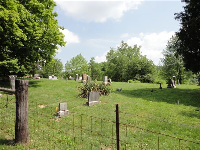
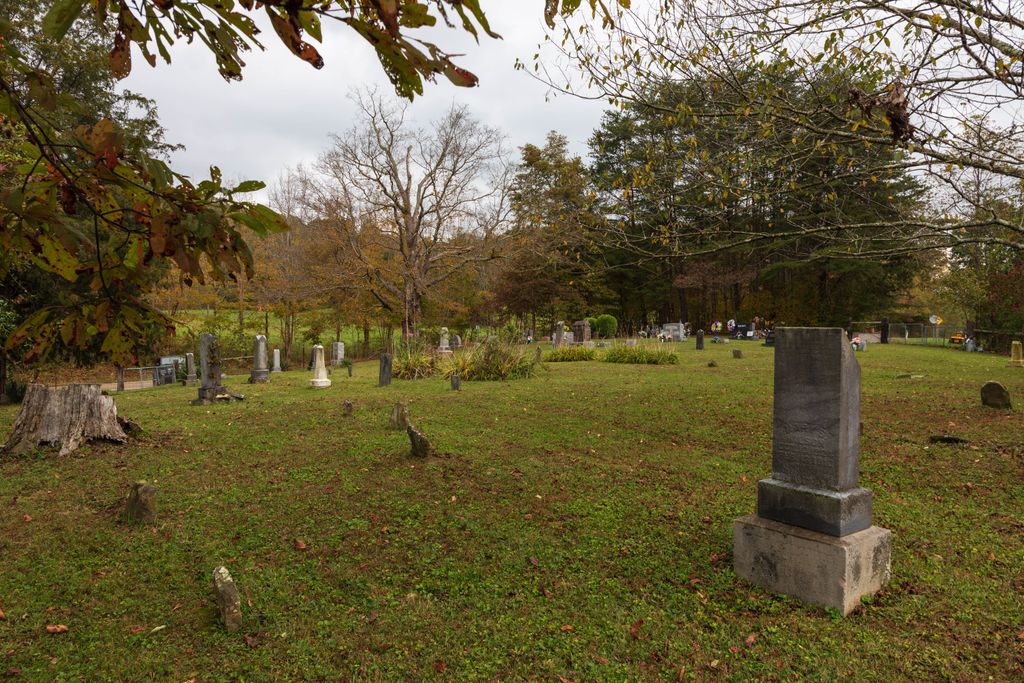
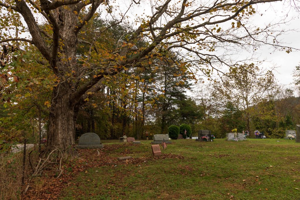
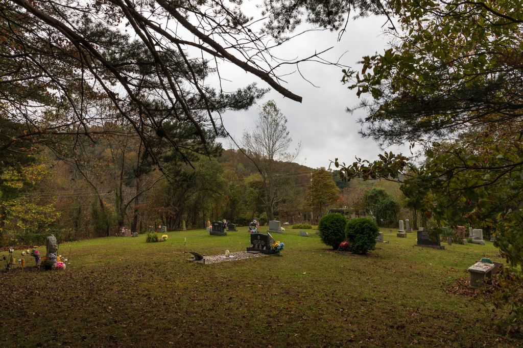
| Description | : | The cemetery is located on the south side of Ohio State Route 56 about 0.1 miles east of its intersection with Chestnut Grove Road (Township Road 248). The cemetery is located in Benton Township, Hocking County, Ohio, and is # 5375 (Justice Cemetery / Higgins Cemetery) in “Ohio Cemeteries 1803-2003”, compiled by the Ohio Genealogical Society. The U.S. Geological Survey (USGS) Geographic Names Information System (GNIS) feature ID for the cemetery is 1076160 (Justice Cemetery). |
frequently asked questions (FAQ):
-
Where is Beery Cemetery?
Beery Cemetery is located at Ohio State Route 56 South Bloomingville, Hocking County ,Ohio , 43152USA.
-
Beery Cemetery cemetery's updated grave count on graveviews.com?
13 memorials
-
Where are the coordinates of the Beery Cemetery?
Latitude: 39.4136700
Longitude: -82.6089000

Nearby Cemetories:
1. South Bloomingville Cemetery
South Bloomingville, Hocking County, USA
Coordinate: 39.4160000, -82.5991600
2. Beery Cemetery
South Bloomingville, Hocking County, USA
Coordinate: 39.4141998, -82.6311035
3. Harper Cemetery
Salt Creek Township, Hocking County, USA
Coordinate: 39.4141830, -82.6312380
4. Liberty Hill Cemetery
South Bloomingville, Hocking County, USA
Coordinate: 39.3953620, -82.5815690
5. Chestnut Grove Cemetery
Vinton County, USA
Coordinate: 39.3703194, -82.6054535
6. Bethel Church Cemetery
Haynes, Hocking County, USA
Coordinate: 39.4485092, -82.6472092
7. Schooley Cemetery
Salt Creek Township, Hocking County, USA
Coordinate: 39.3903008, -82.6600037
8. Pine Grove Cemetery
South Bloomingville, Hocking County, USA
Coordinate: 39.4509830, -82.5732730
9. Karshner Cemetery
Haynes, Hocking County, USA
Coordinate: 39.4427986, -82.6658020
10. Wesley Chapel Cemetery
South Bloomingville, Hocking County, USA
Coordinate: 39.4110400, -82.5388300
11. Spunk Cemetery
Vinton County, USA
Coordinate: 39.3624992, -82.5856018
12. Sours Cemetery
Laurel Township, Hocking County, USA
Coordinate: 39.4678001, -82.6216965
13. Oak Grove Cemetery
South Perry, Hocking County, USA
Coordinate: 39.4722519, -82.6111603
14. Otterbein Chapel Cemetery
Allensville, Vinton County, USA
Coordinate: 39.3587320, -82.5804440
15. Mount Carmel Cemetery
Laurelville, Hocking County, USA
Coordinate: 39.3804520, -82.6763820
16. Haynes Cemetery
Salt Creek Township, Hocking County, USA
Coordinate: 39.4411011, -82.6819000
17. Saint John the Baptist Cemetery
Benton Township, Hocking County, USA
Coordinate: 39.4294014, -82.5294037
18. Wolf Cemetery
Allensville, Vinton County, USA
Coordinate: 39.3424988, -82.6222000
19. Zion Church Cemetery
Salt Creek Township, Hocking County, USA
Coordinate: 39.4079600, -82.7029500
20. Old Baptist Cemetery
Laurel Township, Hocking County, USA
Coordinate: 39.4901090, -82.5973750
21. Locust Grove Cemetery
Vinton County, USA
Coordinate: 39.3489070, -82.5520210
22. Pleasant Ridge Cemetery
Laurelville, Hocking County, USA
Coordinate: 39.4765816, -82.6817322
23. Grant-Moore Cemetery
Laurel Township, Hocking County, USA
Coordinate: 39.4993680, -82.5971620
24. Ebenezer Cemetery
McArthur, Vinton County, USA
Coordinate: 39.3811792, -82.5051573