
| Memorials | : | 4 |
| Location | : | South Bloomingville, Hocking County, USA |
| Coordinate | : | 39.3953620, -82.5815690 |
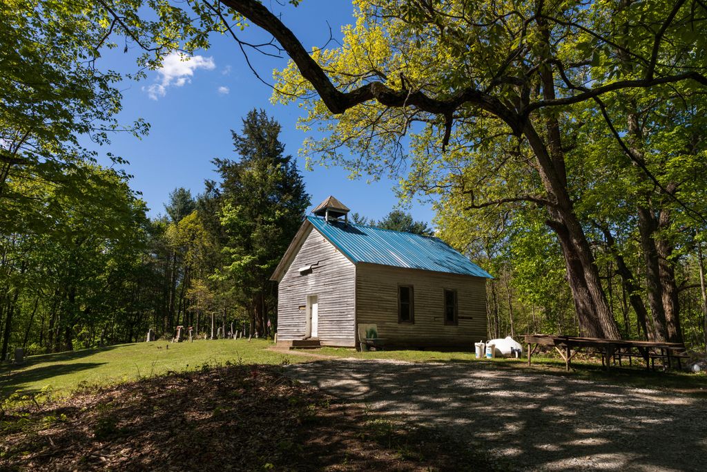
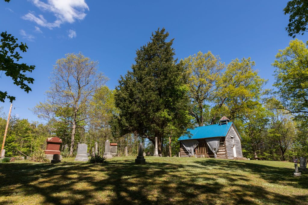
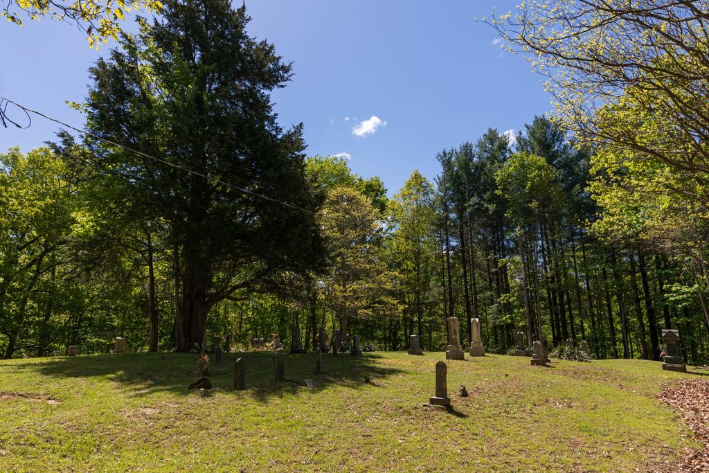
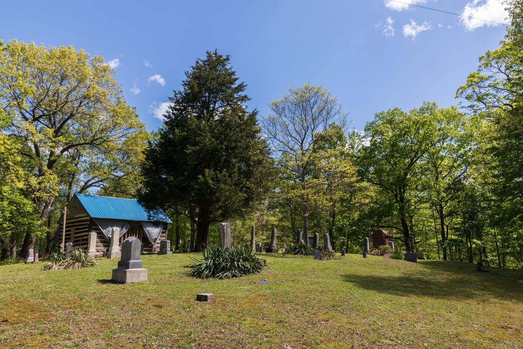
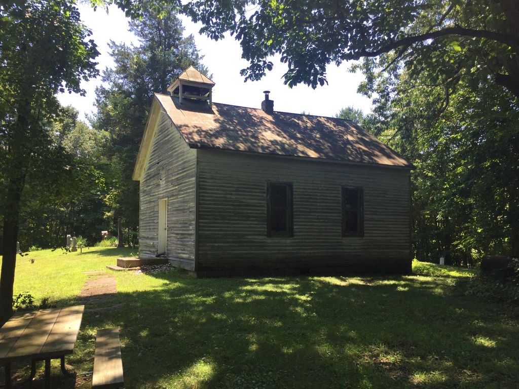
| Description | : | The cemetery is located on the west side of Brown Road about 0.5 miles north of its junction with Turner Road (Township Road 247) and about 1.1 miles east of its junction with Goose Creek Road (County Road 249). The cemetery is located in Benton Township, Hocking County, Ohio, and is # 5376 (Liberty Hill Cemetery) in “Ohio Cemeteries 1803-2003”, compiled by the Ohio Genealogical Society. The cemetery is registered with the Ohio Division of Real Estate and Professional Licensing (ODRE) as Liberty Hill Cemetery with registration license number CGR.0000981667. The U.S. Geological Survey (USGS) Geographic Names Information System... Read More |
frequently asked questions (FAQ):
-
Where is Liberty Hill Cemetery?
Liberty Hill Cemetery is located at 24301 Brown Road (Township Road 250) South Bloomingville, Hocking County ,Ohio , 43152USA.
-
Liberty Hill Cemetery cemetery's updated grave count on graveviews.com?
4 memorials
-
Where are the coordinates of the Liberty Hill Cemetery?
Latitude: 39.3953620
Longitude: -82.5815690

Nearby Cemetories:
1. South Bloomingville Cemetery
South Bloomingville, Hocking County, USA
Coordinate: 39.4160000, -82.5991600
2. Beery Cemetery
South Bloomingville, Hocking County, USA
Coordinate: 39.4136700, -82.6089000
3. Chestnut Grove Cemetery
Vinton County, USA
Coordinate: 39.3703194, -82.6054535
4. Spunk Cemetery
Vinton County, USA
Coordinate: 39.3624992, -82.5856018
5. Wesley Chapel Cemetery
South Bloomingville, Hocking County, USA
Coordinate: 39.4110400, -82.5388300
6. Otterbein Chapel Cemetery
Allensville, Vinton County, USA
Coordinate: 39.3587320, -82.5804440
7. Beery Cemetery
South Bloomingville, Hocking County, USA
Coordinate: 39.4141998, -82.6311035
8. Harper Cemetery
Salt Creek Township, Hocking County, USA
Coordinate: 39.4141830, -82.6312380
9. Locust Grove Cemetery
Vinton County, USA
Coordinate: 39.3489070, -82.5520210
10. Saint John the Baptist Cemetery
Benton Township, Hocking County, USA
Coordinate: 39.4294014, -82.5294037
11. Pine Grove Cemetery
South Bloomingville, Hocking County, USA
Coordinate: 39.4509830, -82.5732730
12. Ebenezer Cemetery
McArthur, Vinton County, USA
Coordinate: 39.3811792, -82.5051573
13. Schooley Cemetery
Salt Creek Township, Hocking County, USA
Coordinate: 39.3903008, -82.6600037
14. Wolf Cemetery
Allensville, Vinton County, USA
Coordinate: 39.3424988, -82.6222000
15. Fairview Church Cemetery
Washington Township, Hocking County, USA
Coordinate: 39.4011192, -82.4872818
16. Bethel Church Cemetery
Haynes, Hocking County, USA
Coordinate: 39.4485092, -82.6472092
17. Mount Carmel Cemetery
Laurelville, Hocking County, USA
Coordinate: 39.3804520, -82.6763820
18. Walnut Grove Church Cemetery
Allensville, Vinton County, USA
Coordinate: 39.3210910, -82.6155610
19. Sours Cemetery
Laurel Township, Hocking County, USA
Coordinate: 39.4678001, -82.6216965
20. Oak Grove Cemetery
South Perry, Hocking County, USA
Coordinate: 39.4722519, -82.6111603
21. Karshner Cemetery
Haynes, Hocking County, USA
Coordinate: 39.4427986, -82.6658020
22. Slagle Cemetery
Vinton County, USA
Coordinate: 39.3300018, -82.6430969
23. Slagle Farm Cemetery
Vinton County, USA
Coordinate: 39.3280983, -82.6436005
24. Centenary Cemetery
Vinton County, USA
Coordinate: 39.3135986, -82.5522003