
| Memorials | : | 8 |
| Location | : | Scraptoft, Harborough District, England |
| Coordinate | : | 52.6541650, -1.0247700 |
frequently asked questions (FAQ):
-
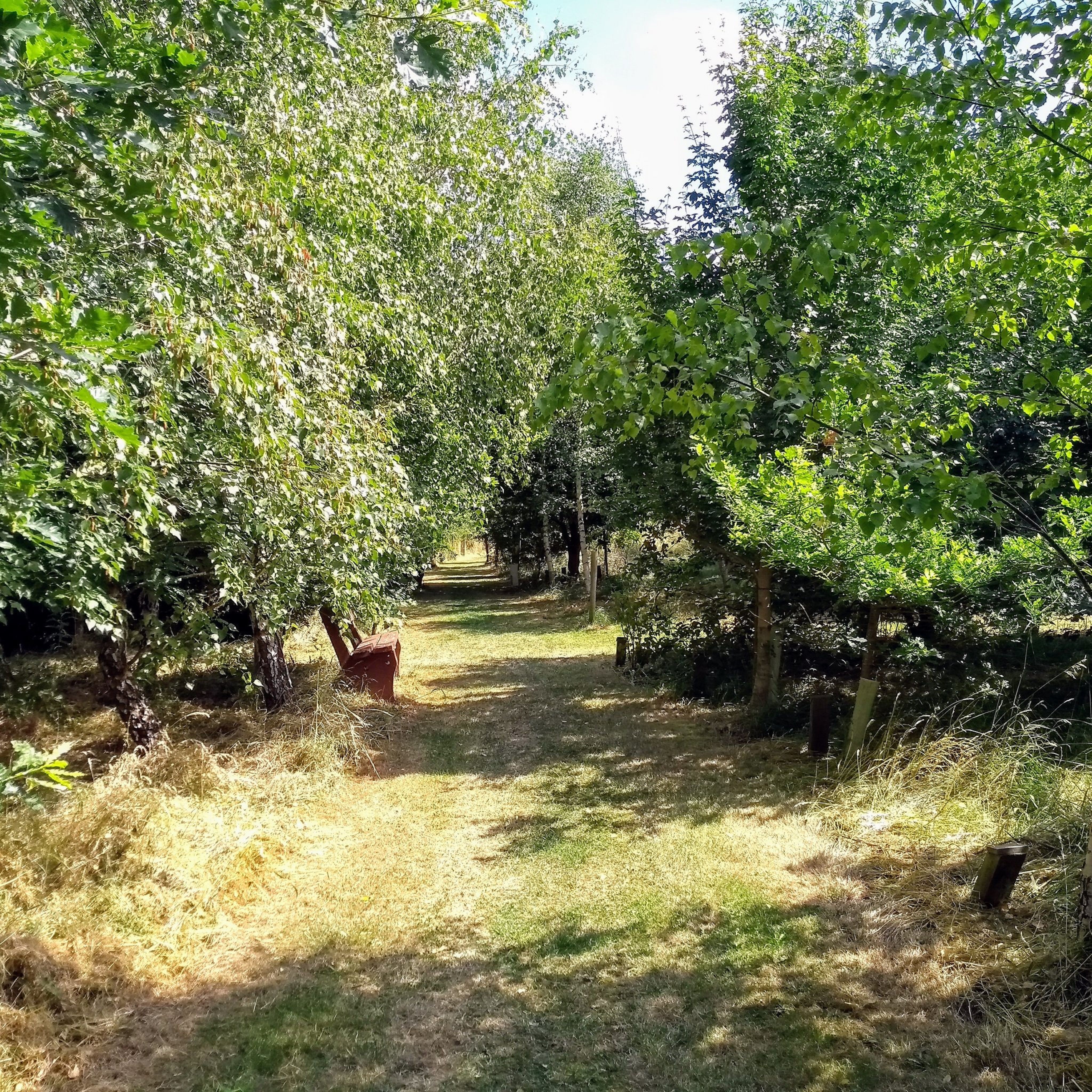
Where is Scraptoft Natural Burial Ground?
Scraptoft Natural Burial Ground is located at Scraptoft, Harborough District ,Leicestershire ,England.
-
Scraptoft Natural Burial Ground cemetery's updated grave count on graveviews.com?
0 memorials
-
Where are the coordinates of the Scraptoft Natural Burial Ground?
Latitude: 52.6541650
Longitude: -1.0247700
Nearby Cemetories:
1. All Saints Churchyard
Beeby, Charnwood Borough, England
Coordinate: 52.6685200, -1.0194000
2. All Saints Churchyard
Scraptoft, Harborough District, England
Coordinate: 52.6441340, -1.0442270
3. Saint John the Baptist Churchyard
Hungarton, Harborough District, England
Coordinate: 52.6588480, -0.9797350
4. Saint Luke Churchyard
Thurnby, Harborough District, England
Coordinate: 52.6291480, -1.0457760
5. St. Mary's Churchyard
Humberstone, Leicester Unitary Authority, England
Coordinate: 52.6479200, -1.0760100
6. St Catharine Churchyard
Houghton-on-the-Hill, Harborough District, England
Coordinate: 52.6232620, -1.0023630
7. St Mary's Church
Barkby, Charnwood Borough, England
Coordinate: 52.6825100, -1.0599100
8. Barkby Cemetery
Barkby, Charnwood Borough, England
Coordinate: 52.6840800, -1.0602200
9. St John the Baptist Churchyard
South Croxton, Charnwood Borough, England
Coordinate: 52.6862210, -0.9780790
10. Church of St. Mary and All Saints
Stoughton, Harborough District, England
Coordinate: 52.6129090, -1.0552350
11. St. Denys' Churchyard
Evington, Leicester Unitary Authority, England
Coordinate: 52.6193210, -1.0743860
12. Queniborough Cemetery
Queniborough, Charnwood Borough, England
Coordinate: 52.7011860, -1.0315250
13. Syston Cemetery
Syston, Charnwood Borough, England
Coordinate: 52.6951100, -1.0675000
14. St Mary Churchyard
Queniborough, Charnwood Borough, England
Coordinate: 52.7023900, -1.0382700
15. Thurmaston Cemetery
Thurmaston, Charnwood Borough, England
Coordinate: 52.6788150, -1.0948670
16. St Michael and All Angels Churchyard
Thurmaston, Charnwood Borough, England
Coordinate: 52.6785630, -1.0989530
17. Thurmaston Parish Church Leicestershire
Leicester Unitary Authority, England
Coordinate: 52.6785900, -1.0993062
18. Saint Peter & Saint Paul's Churchyard
Syston, Charnwood Borough, England
Coordinate: 52.7007410, -1.0746400
19. All Saints Churchyard
Lowesby, Harborough District, England
Coordinate: 52.6601500, -0.9314700
20. St. John's Baptist Churchyard
Little Stretton, Harborough District, England
Coordinate: 52.5972084, -1.0135030
21. St James the Great Churchyard
Birstall, Charnwood Borough, England
Coordinate: 52.6741150, -1.1189210
22. St Peter's Church (Defunct)
Leicester, Leicester Unitary Authority, England
Coordinate: 52.6300260, -1.1164980
23. St. Peter's Churchyard
Belgrave, Leicester Unitary Authority, England
Coordinate: 52.6594208, -1.1255690
24. Church of Saint John the Baptist
Kings Norton, Harborough District, England
Coordinate: 52.5978980, -0.9842260