
| Memorials | : | 0 |
| Location | : | Liberty, Union County, USA |
| Coordinate | : | 39.6530991, -84.9269028 |
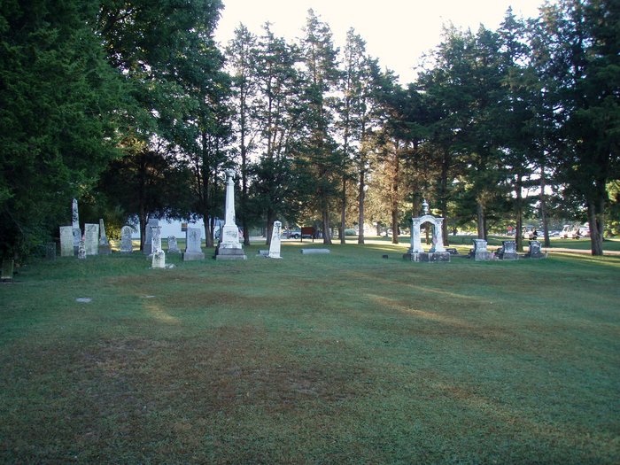
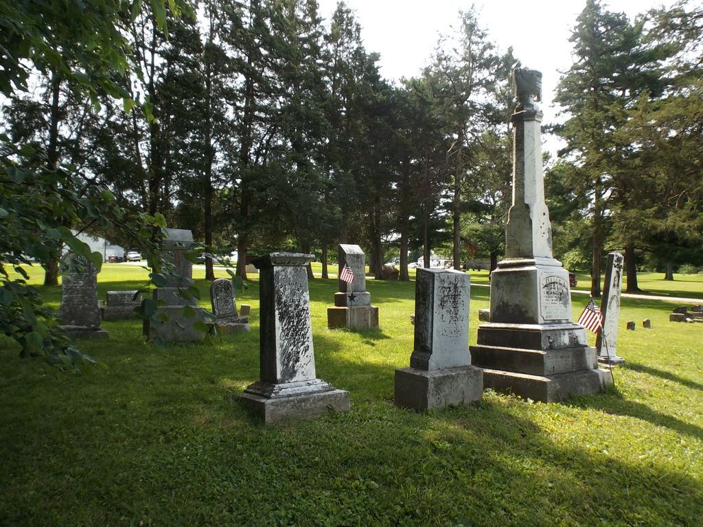
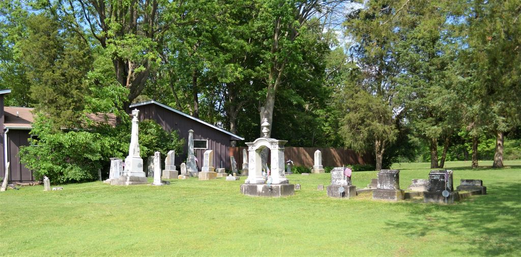
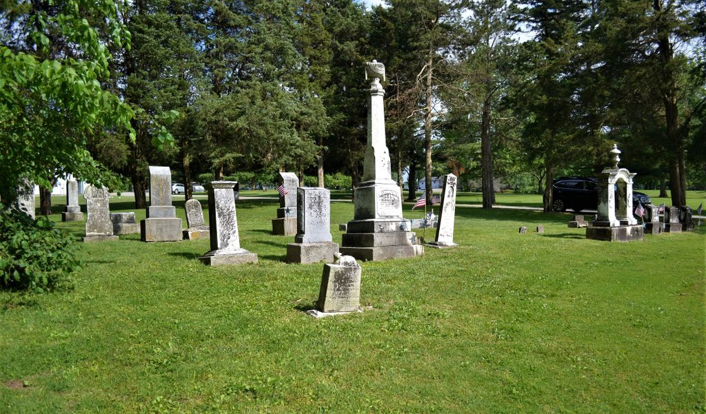
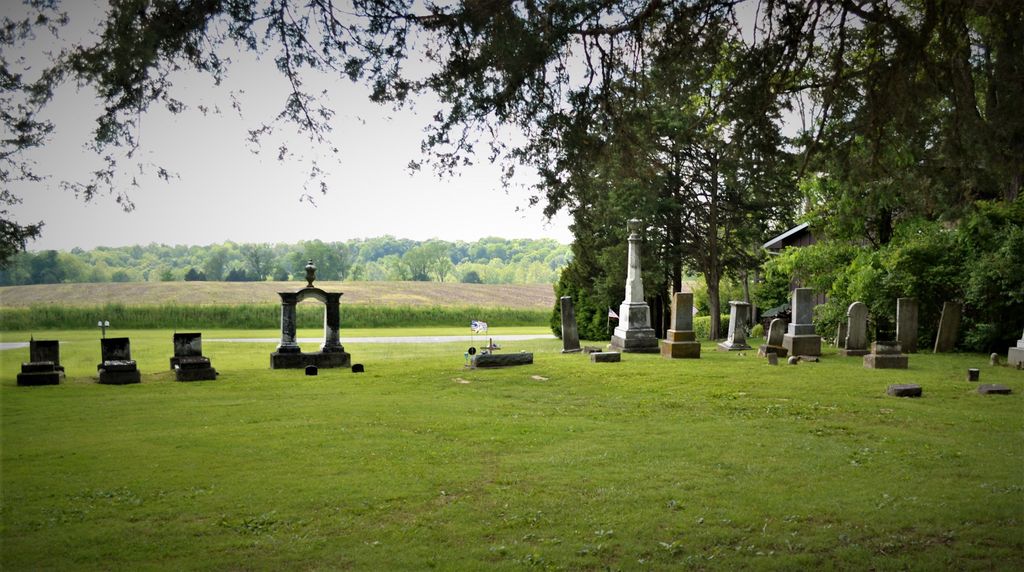
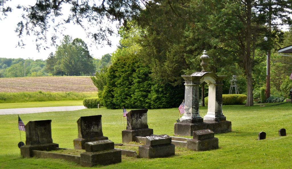
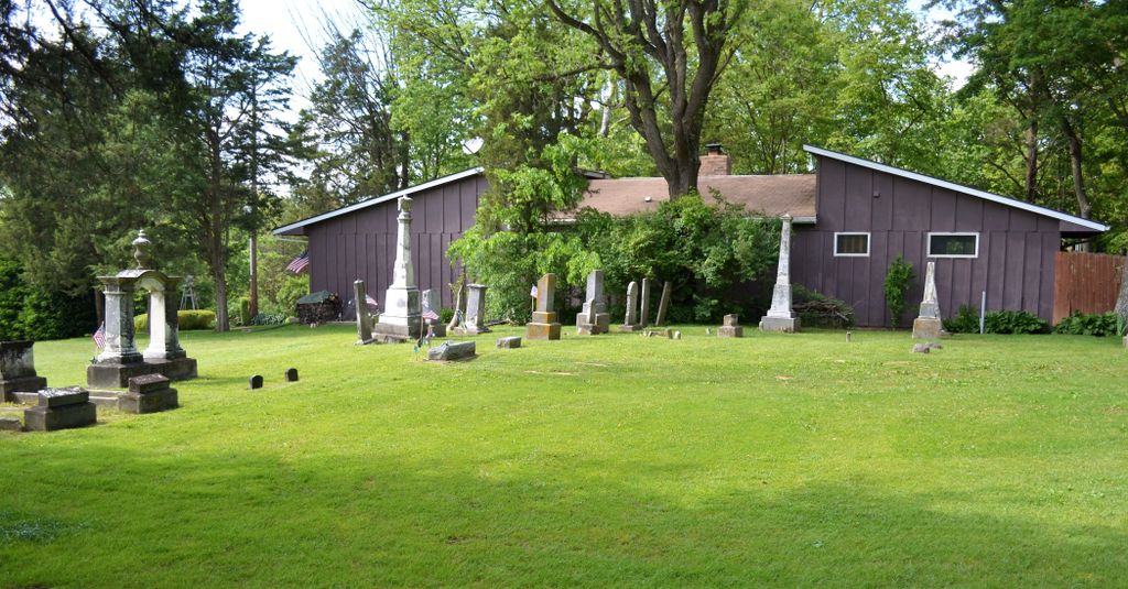
| Description | : | The cemetery is located in Center Township (NW quadrant of the NW quadrant of the NW quadrant of Section 6, Township 11N, Range 1W) on the east side of US 27 at the Liberty County Club at its intersection with Old US 27. Indiana Cemetery Locations, Volume 1, published by the Indiana Genealogical Society (02 April 2005), gives the primary cemetery name as Sering Cemetery with alternate names of Serring Cemetery and Brown Cemetery. The cemetery is listed in the Cemetery and Burial Grounds Registry of the Indiana Department of Natural Resources (DNR) and in the State Historical... Read More |
frequently asked questions (FAQ):
-
Where is Sering Cemetery?
Sering Cemetery is located at 1431 US 27 Liberty, Union County ,Indiana , 47353USA.
-
Sering Cemetery cemetery's updated grave count on graveviews.com?
0 memorials
-
Where are the coordinates of the Sering Cemetery?
Latitude: 39.6530991
Longitude: -84.9269028
Nearby Cemetories:
1. Patterson Cemetery
Liberty, Union County, USA
Coordinate: 39.6514015, -84.9468994
2. West Point Cemetery
Liberty, Union County, USA
Coordinate: 39.6393890, -84.9372450
3. Drook Cemetery
Liberty, Union County, USA
Coordinate: 39.6306000, -84.9167023
4. Silver Creek Cemetery
Liberty, Union County, USA
Coordinate: 39.6363690, -84.9536790
5. Stevens Memorial Cemetery
Kitchel, Union County, USA
Coordinate: 39.6622740, -84.8889860
6. Calvary Cemetery
Liberty, Union County, USA
Coordinate: 39.6217003, -84.9364014
7. Ballinger-Bennett Cemetery
Clifton, Union County, USA
Coordinate: 39.6854000, -84.9083000
8. Nutter Cemetery
Harrison Township, Union County, USA
Coordinate: 39.6610200, -84.8800490
9. Richland Cemetery
Liberty, Union County, USA
Coordinate: 39.6900410, -84.9291230
10. Silver Creek Friends Cemetery
Center Township, Union County, USA
Coordinate: 39.6110440, -84.9384080
11. Beard Farm Cemetery
Liberty, Union County, USA
Coordinate: 39.6602000, -84.8663000
12. Knott Cemetery
Clifton, Union County, USA
Coordinate: 39.6758000, -84.9820000
13. Ward Cemetery
Liberty, Union County, USA
Coordinate: 39.6062280, -84.9090640
14. Salem Friends Cemetery
Salem, Union County, USA
Coordinate: 39.6047058, -84.8904114
15. Christian Union Cemetery
Brownsville, Union County, USA
Coordinate: 39.6621094, -85.0030212
16. Brownsville City Cemetery
Brownsville, Union County, USA
Coordinate: 39.6612015, -85.0065002
17. Black Cemetery
Yankee Town, Union County, USA
Coordinate: 39.7007000, -84.9852000
18. Fosher Cemetery
Liberty, Union County, USA
Coordinate: 39.7135710, -84.9606280
19. Mount Pleasant Cemetery
Dunlapsville, Union County, USA
Coordinate: 39.6280400, -85.0159240
20. Woods Chapel Cemetery
Brownsville, Union County, USA
Coordinate: 39.7072490, -84.9912110
21. Pentecost Cemetery
Center Township, Union County, USA
Coordinate: 39.6513840, -84.8240930
22. Smoker Family Cemetery
Brownsville, Union County, USA
Coordinate: 39.7259830, -84.9673000
23. Dunlapsville Cemetery
Dunlapsville, Union County, USA
Coordinate: 39.5894852, -84.9926453
24. Railsback Cemetery
Goodwins Corner, Union County, USA
Coordinate: 39.6624985, -84.8199997