
| Memorials | : | 1 |
| Location | : | Liberty, Union County, USA |
| Coordinate | : | 39.6393890, -84.9372450 |
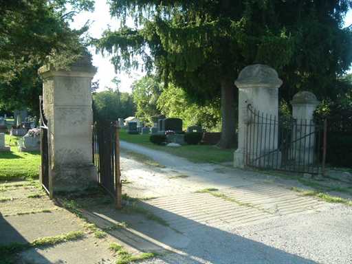
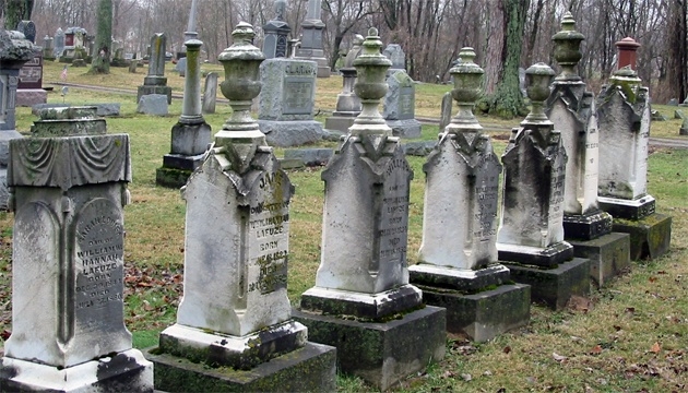
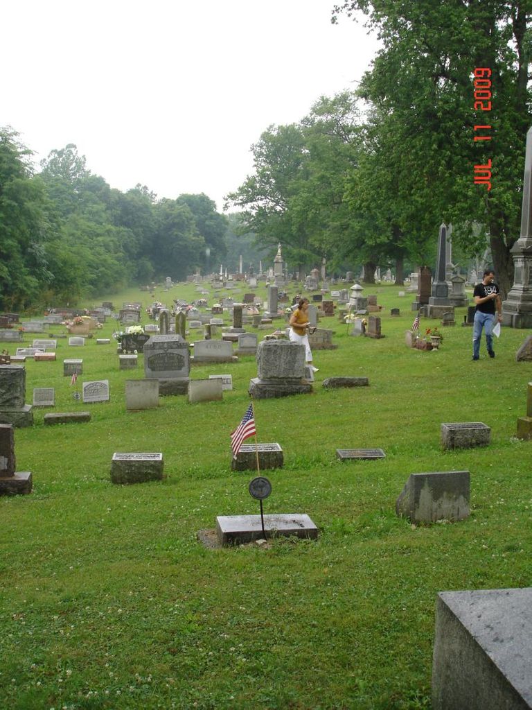
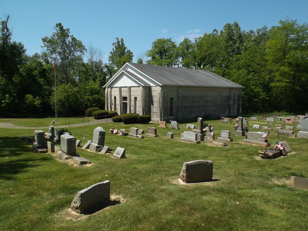
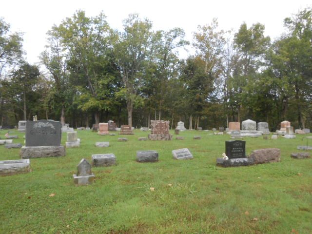
| Description | : | West Point Cemetery is located at the intersection of Brownsville Ave and Dewey Street in Liberty, Indiana. The U.S. Geological Survey (USGS) Geographic Names Information System (GNIS) feature ID for the cemetery is 445799 (West Point Cemetery). Lewis Davis and his wife, Mary A. Craft Davis had a farm near Billingsville, Indiana, up to 1872 when they moved to Liberty, Indiana. Lewis purchased a 10-acre tract and laid out the ground as a cemetery, which became West Pont Cemetery. He added plants and trees, winding drives and walks and expended over $10,000 to carry out his plans. For years he acted... Read More |
frequently asked questions (FAQ):
-
Where is West Point Cemetery?
West Point Cemetery is located at 708 N. Dewey Rd Liberty, Union County ,Indiana , 47353USA.
-
West Point Cemetery cemetery's updated grave count on graveviews.com?
1 memorials
-
Where are the coordinates of the West Point Cemetery?
Latitude: 39.6393890
Longitude: -84.9372450
Nearby Cemetories:
1. Silver Creek Cemetery
Liberty, Union County, USA
Coordinate: 39.6363690, -84.9536790
2. Patterson Cemetery
Liberty, Union County, USA
Coordinate: 39.6514015, -84.9468994
3. Sering Cemetery
Liberty, Union County, USA
Coordinate: 39.6530991, -84.9269028
4. Calvary Cemetery
Liberty, Union County, USA
Coordinate: 39.6217003, -84.9364014
5. Drook Cemetery
Liberty, Union County, USA
Coordinate: 39.6306000, -84.9167023
6. Silver Creek Friends Cemetery
Center Township, Union County, USA
Coordinate: 39.6110440, -84.9384080
7. Ward Cemetery
Liberty, Union County, USA
Coordinate: 39.6062280, -84.9090640
8. Stevens Memorial Cemetery
Kitchel, Union County, USA
Coordinate: 39.6622740, -84.8889860
9. Nutter Cemetery
Harrison Township, Union County, USA
Coordinate: 39.6610200, -84.8800490
10. Salem Friends Cemetery
Salem, Union County, USA
Coordinate: 39.6047058, -84.8904114
11. Knott Cemetery
Clifton, Union County, USA
Coordinate: 39.6758000, -84.9820000
12. Richland Cemetery
Liberty, Union County, USA
Coordinate: 39.6900410, -84.9291230
13. Ballinger-Bennett Cemetery
Clifton, Union County, USA
Coordinate: 39.6854000, -84.9083000
14. Christian Union Cemetery
Brownsville, Union County, USA
Coordinate: 39.6621094, -85.0030212
15. Brownsville City Cemetery
Brownsville, Union County, USA
Coordinate: 39.6612015, -85.0065002
16. Beard Farm Cemetery
Liberty, Union County, USA
Coordinate: 39.6602000, -84.8663000
17. Mount Pleasant Cemetery
Dunlapsville, Union County, USA
Coordinate: 39.6280400, -85.0159240
18. Dunlapsville Cemetery
Dunlapsville, Union County, USA
Coordinate: 39.5894852, -84.9926453
19. New Hope Cemetery
Harmony Township, Union County, USA
Coordinate: 39.5682983, -84.9468994
20. Black Cemetery
Yankee Town, Union County, USA
Coordinate: 39.7007000, -84.9852000
21. Fosher Cemetery
Liberty, Union County, USA
Coordinate: 39.7135710, -84.9606280
22. Woods Chapel Cemetery
Brownsville, Union County, USA
Coordinate: 39.7072490, -84.9912110
23. Simpson Cemetery
Fayette County, USA
Coordinate: 39.6561130, -85.0435840
24. Witter Cemetery
Liberty, Union County, USA
Coordinate: 39.6163820, -84.8289660