
| Memorials | : | 0 |
| Location | : | Liberty, Union County, USA |
| Coordinate | : | 39.6306000, -84.9167023 |
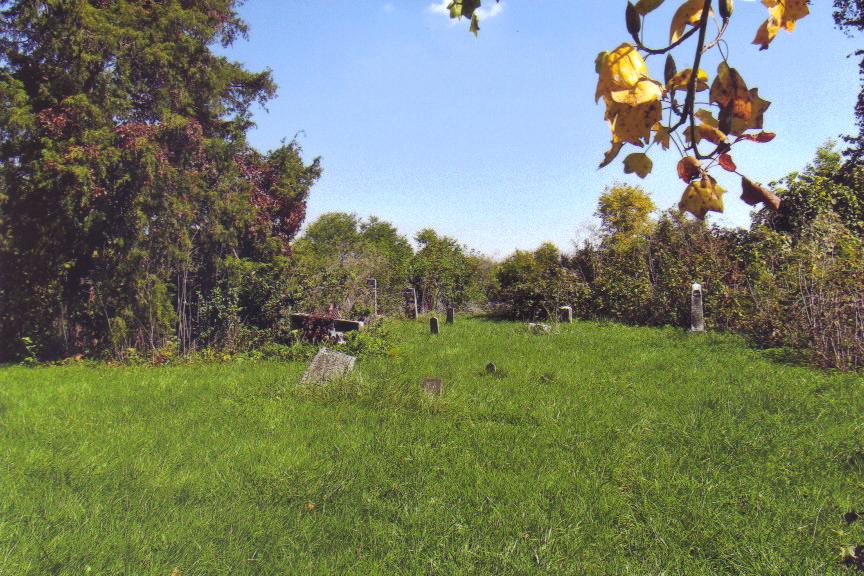
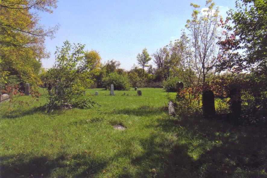
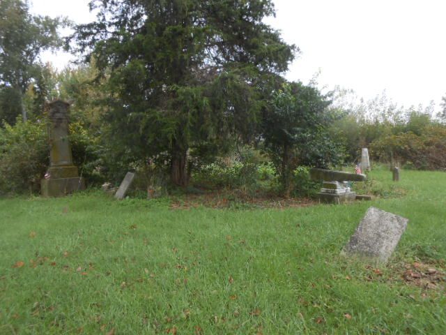
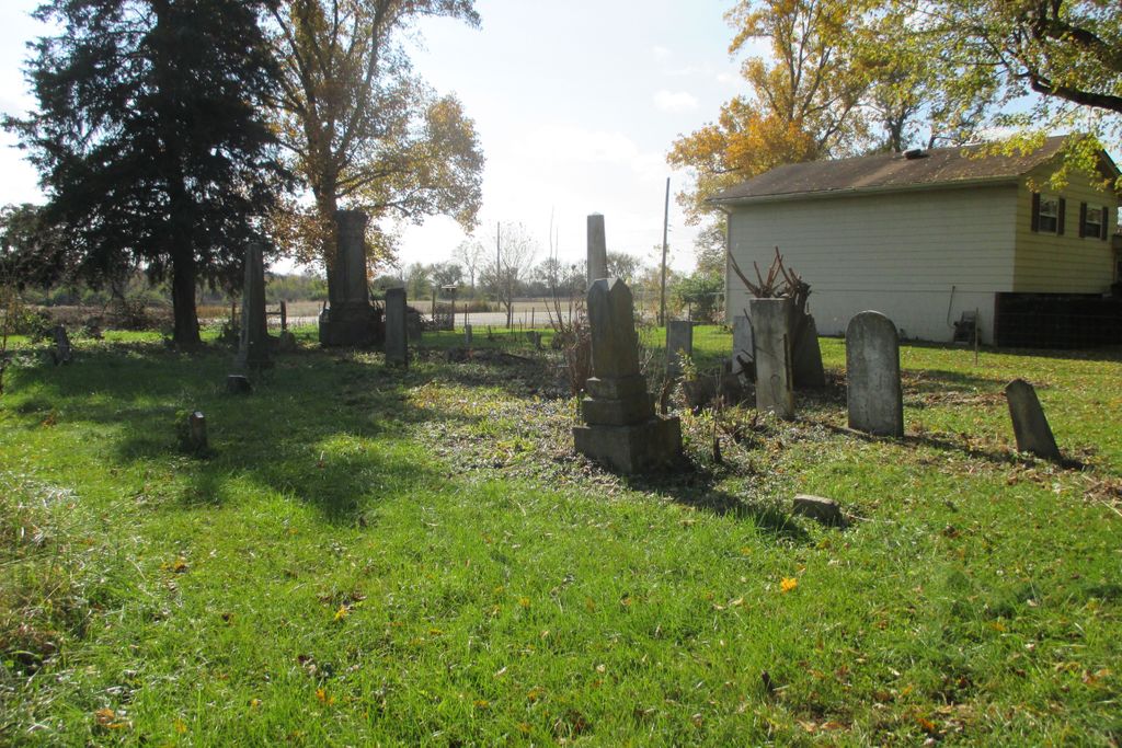
| Description | : | The cemetery is located in Center Township (W half of the NW quadrant of the SE quadrant of Section 7 Township 11N Range 1W) on the east side of Liberty Avenue (US 27) about 0.2 miles southeast of its intersection with E Maple Street. Indiana Cemetery Locations, Volume 1, published by the Indiana Genealogical Society (02 April 2005), gives the primary cemetery name as Drook Cemetery with an alternate name of East Cemetery. The cemetery is listed in the Cemetery and Burial Grounds Registry of the Indiana Department of Natural Resources (DNR) and in the State Historical Architectural... Read More |
frequently asked questions (FAQ):
-
Where is Drook Cemetery?
Drook Cemetery is located at Liberty Avenue (US 27) Liberty, Union County ,Indiana , 47353USA.
-
Drook Cemetery cemetery's updated grave count on graveviews.com?
0 memorials
-
Where are the coordinates of the Drook Cemetery?
Latitude: 39.6306000
Longitude: -84.9167023
Nearby Cemetories:
1. Calvary Cemetery
Liberty, Union County, USA
Coordinate: 39.6217003, -84.9364014
2. West Point Cemetery
Liberty, Union County, USA
Coordinate: 39.6393890, -84.9372450
3. Sering Cemetery
Liberty, Union County, USA
Coordinate: 39.6530991, -84.9269028
4. Ward Cemetery
Liberty, Union County, USA
Coordinate: 39.6062280, -84.9090640
5. Silver Creek Friends Cemetery
Center Township, Union County, USA
Coordinate: 39.6110440, -84.9384080
6. Silver Creek Cemetery
Liberty, Union County, USA
Coordinate: 39.6363690, -84.9536790
7. Patterson Cemetery
Liberty, Union County, USA
Coordinate: 39.6514015, -84.9468994
8. Salem Friends Cemetery
Salem, Union County, USA
Coordinate: 39.6047058, -84.8904114
9. Stevens Memorial Cemetery
Kitchel, Union County, USA
Coordinate: 39.6622740, -84.8889860
10. Nutter Cemetery
Harrison Township, Union County, USA
Coordinate: 39.6610200, -84.8800490
11. Beard Farm Cemetery
Liberty, Union County, USA
Coordinate: 39.6602000, -84.8663000
12. Ballinger-Bennett Cemetery
Clifton, Union County, USA
Coordinate: 39.6854000, -84.9083000
13. Richland Cemetery
Liberty, Union County, USA
Coordinate: 39.6900410, -84.9291230
14. New Hope Cemetery
Harmony Township, Union County, USA
Coordinate: 39.5682983, -84.9468994
15. Knott Cemetery
Clifton, Union County, USA
Coordinate: 39.6758000, -84.9820000
16. Witter Cemetery
Liberty, Union County, USA
Coordinate: 39.6163820, -84.8289660
17. Keiffer Cemetery
Cottage Grove, Union County, USA
Coordinate: 39.5816994, -84.8525009
18. Dunlapsville Cemetery
Dunlapsville, Union County, USA
Coordinate: 39.5894852, -84.9926453
19. Christian Union Cemetery
Brownsville, Union County, USA
Coordinate: 39.6621094, -85.0030212
20. Pentecost Cemetery
Center Township, Union County, USA
Coordinate: 39.6513840, -84.8240930
21. Brownsville City Cemetery
Brownsville, Union County, USA
Coordinate: 39.6612015, -85.0065002
22. Mount Pleasant Cemetery
Dunlapsville, Union County, USA
Coordinate: 39.6280400, -85.0159240
23. Railsback Cemetery
Goodwins Corner, Union County, USA
Coordinate: 39.6624985, -84.8199997
24. Old DuBois Cemetery
Harmony Township, Union County, USA
Coordinate: 39.5522750, -84.9577740