
| Memorials | : | 1 |
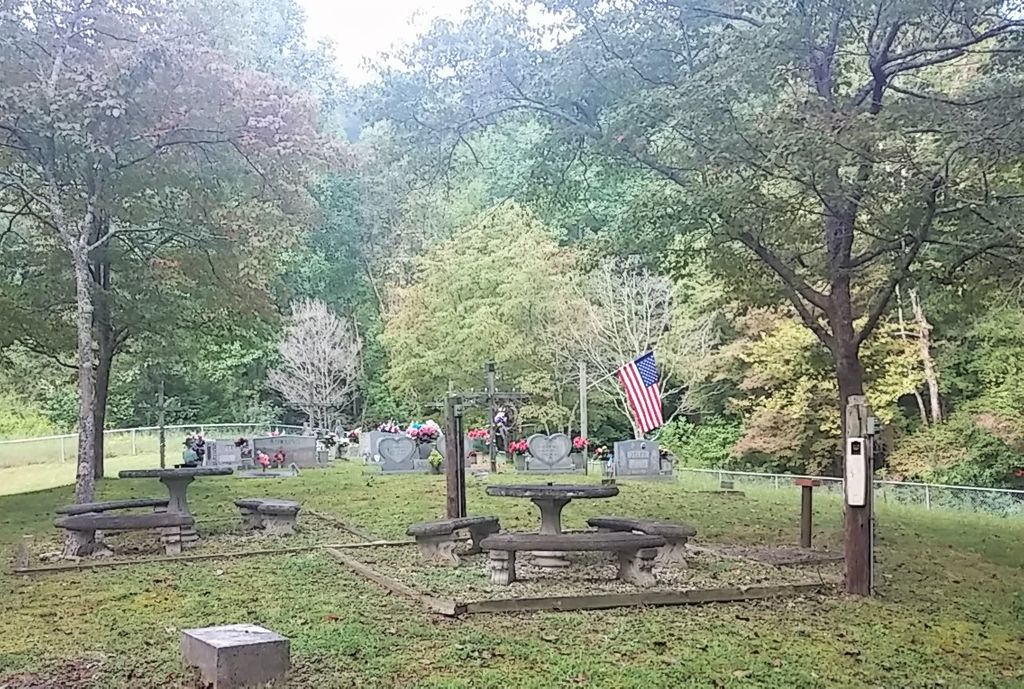
| Location | : | Goose Rock, Clay County, USA |
| Coordinate | : | 37.0836030, -83.7087690 |
| Description | : | From Manchester, take Hwy 421 North about 4 miles to Sevier Branch Rd. Take Sevier Branch Rd about 0.5 miles to the junction. Turn left and travel about 1.5 miles. The cemetery is on the right side of the road. |
frequently asked questions (FAQ):
-
Where is Sevier Cemetery?
Sevier Cemetery is located at Sevier Branch Road Goose Rock, Clay County ,Kentucky ,USA.
-
Sevier Cemetery cemetery's updated grave count on graveviews.com?
1 memorials
-
Where are the coordinates of the Sevier Cemetery?
Latitude: 37.0836030
Longitude: -83.7087690
Nearby Cemetories:
1. Morgan Cemetery #2
Goose Rock, Clay County, USA
Coordinate: 37.0937220, -83.7080000
2. Farmer-Asher Cemetery
Goose Rock, Clay County, USA
Coordinate: 37.0932700, -83.7012800
3. White-Howard Cemetery
Goose Rock, Clay County, USA
Coordinate: 37.0932600, -83.7009000
4. White Cemetery
Goose Rock, Clay County, USA
Coordinate: 37.0937700, -83.7017800
5. Hibbard-Sevier Cemetery
Goose Rock, Clay County, USA
Coordinate: 37.0872400, -83.6948000
6. Goose Rock Cemetery
Goose Rock, Clay County, USA
Coordinate: 37.0793910, -83.6947570
7. Myers Cemetery
Goose Rock, Clay County, USA
Coordinate: 37.0906600, -83.6908200
8. Napier Cemetery
Lincoln, Clay County, USA
Coordinate: 37.0728420, -83.7292790
9. Cleveland Marcum Cemetery
Botto, Clay County, USA
Coordinate: 37.0868100, -83.6845200
10. Downey Cemetery
Bluehole, Clay County, USA
Coordinate: 37.0800200, -83.7345200
11. Tip Smith Cemetery
Goose Rock, Clay County, USA
Coordinate: 37.0779680, -83.6823570
12. Woods Cemetery
Goose Rock, Clay County, USA
Coordinate: 37.0715870, -83.6857860
13. Charlie Hubbard Cemetery
Goose Rock, Clay County, USA
Coordinate: 37.0682980, -83.6886840
14. Walter and Ethel Woods Memorial Cemetery
Goose Rock, Clay County, USA
Coordinate: 37.0736270, -83.6834240
15. Howard Cemetery
Lake, Laurel County, USA
Coordinate: 37.0784480, -83.6793570
16. Smith Cemetery #12
Goose Rock, Clay County, USA
Coordinate: 37.0928400, -83.6804400
17. Blair Cemetery
Garrard, Clay County, USA
Coordinate: 37.1057430, -83.7249990
18. Hollen Cemetery
Botto, Clay County, USA
Coordinate: 37.0852200, -83.6758700
19. Caudill Cemetery
Garrard, Clay County, USA
Coordinate: 37.1036500, -83.7306300
20. Swafford Branch Cemetery
Lincoln, Clay County, USA
Coordinate: 37.0597800, -83.7239600
21. Ruth Cemetery
Lincoln, Clay County, USA
Coordinate: 37.0777300, -83.7424300
22. Caudill Cemetery
Garrard, Clay County, USA
Coordinate: 37.1055270, -83.7301630
23. Oscar Sizemore Cemetery
Garrard, Clay County, USA
Coordinate: 37.1025100, -83.7343700
24. Jackson Family Cemetery
Botto, Clay County, USA
Coordinate: 37.0876500, -83.6742500