
| Memorials | : | 18 |
| Location | : | Jonesboro, Clayton County, USA |
| Phone | : | 404-478-5011 |
| Coordinate | : | 33.5673300, -84.3718200 |
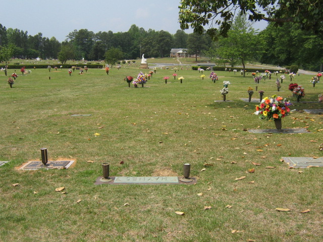
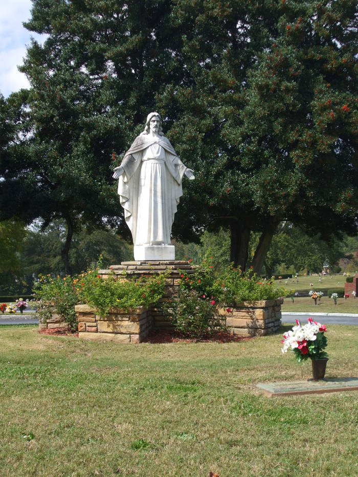
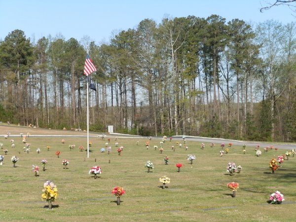
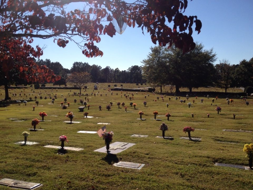
| Description | : | Hours: 8-6 Monday-Friday 8-4 Saturday Closed Sunday This perpetual care cemetery has over 9,300 burials and room for many more. The property is beautiful and well kept with an office at the back of the location. Flower service is available for those buried. During the Civil War 1861-1865 the property was that of the McCord Plantation, and the home that was on McCord Plantation was named Stately Oaks. At that time the plantation was 140 acres. Stately Oaks was the home (after it was enlarged) on the movie of "Gone With the Wind' which premiered in the mid 1930s. There are... Read More |
frequently asked questions (FAQ):
-
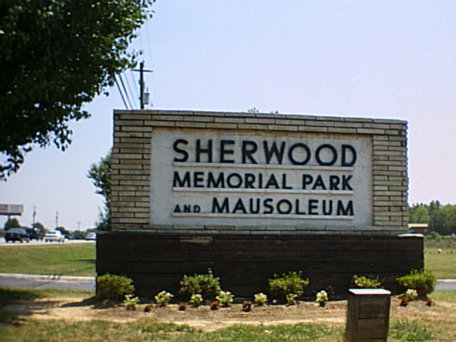
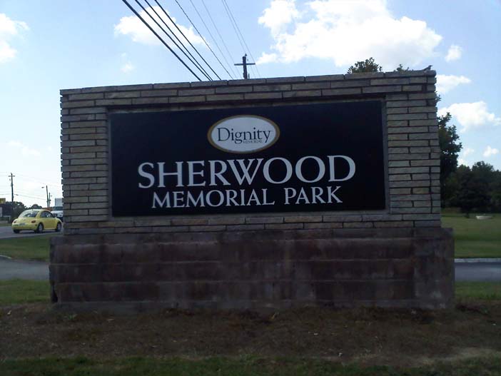
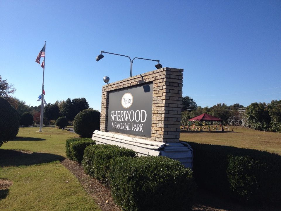
Where is Sherwood Memorial Park and Mausoleum?
Sherwood Memorial Park and Mausoleum is located at 6841 Tara Boulevard Jonesboro, Clayton County ,Georgia ,USA.
-
Sherwood Memorial Park and Mausoleum cemetery's updated grave count on graveviews.com?
16 memorials
-
Where are the coordinates of the Sherwood Memorial Park and Mausoleum?
Latitude: 33.5673300
Longitude: -84.3718200
Nearby Cemetories:
1. Carver Memorial Gardens
Jonesboro, Clayton County, USA
Coordinate: 33.5797005, -84.3792038
2. Smith Family Cemetery
Riverdale, Clayton County, USA
Coordinate: 33.5510720, -84.3741330
3. Philadelphia Presbyterian Church Cemetery
Forest Park, Clayton County, USA
Coordinate: 33.5900002, -84.3786011
4. Saint Augustine of Canterbury Episcopal Church Col
Morrow, Clayton County, USA
Coordinate: 33.5844150, -84.3504820
5. Old Huie-Philadelphia Community Cemetery
Forest Park, Clayton County, USA
Coordinate: 33.5943350, -84.3663310
6. Morrow Cemetery
Morrow, Clayton County, USA
Coordinate: 33.5774994, -84.3368988
7. Babb Cemetery
Jonesboro, Clayton County, USA
Coordinate: 33.5348170, -84.3737460
8. Riverdale Baptist Cemetery
Riverdale, Clayton County, USA
Coordinate: 33.5685270, -84.4184410
9. Confederate Cemetery
Clayton County, USA
Coordinate: 33.5303001, -84.3535995
10. Riverdale First United Methodist Church Cemetery
Riverdale, Clayton County, USA
Coordinate: 33.5810100, -84.4169900
11. Jonesboro City Cemetery
Jonesboro, Clayton County, USA
Coordinate: 33.5299988, -84.3486023
12. Mount Zion Cemetery
Morrow, Clayton County, USA
Coordinate: 33.5614014, -84.3214035
13. Mann Cemetery
Clayton County, USA
Coordinate: 33.5229492, -84.3818436
14. Chapman-Morrow Cemetery
Jonesboro, Clayton County, USA
Coordinate: 33.5245740, -84.3495400
15. Bethel Baptist Church Cemetery
Clayton County, USA
Coordinate: 33.5193660, -84.3812510
16. William's Chapel
Clayton County, USA
Coordinate: 33.5988930, -84.3255620
17. King Cemetery
Riverdale, Clayton County, USA
Coordinate: 33.5828018, -84.4293976
18. Roberts Family Cemetery
Riverdale, Clayton County, USA
Coordinate: 33.5253050, -84.4102520
19. Forest Park City Cemetery
Forest Park, Clayton County, USA
Coordinate: 33.6193190, -84.3574260
20. Jones Memorial Cemetery
Forest Park, Clayton County, USA
Coordinate: 33.6204400, -84.3816900
21. Forest Park Primitive Baptist Church Cemetery
Forest Park, Clayton County, USA
Coordinate: 33.6196230, -84.3568800
22. Travelers Rest Missionary Baptist Church Cemetery
Morrow, Clayton County, USA
Coordinate: 33.5996640, -84.3197970
23. Allen Family Cemetery #1
Clayton County, USA
Coordinate: 33.5465000, -84.3103900
24. Mathalama AME Church Cemetery
Morrow, Clayton County, USA
Coordinate: 33.6031750, -84.3212440