
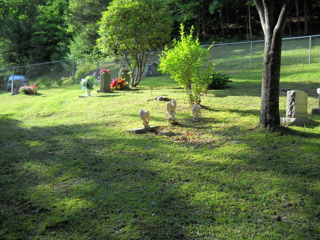
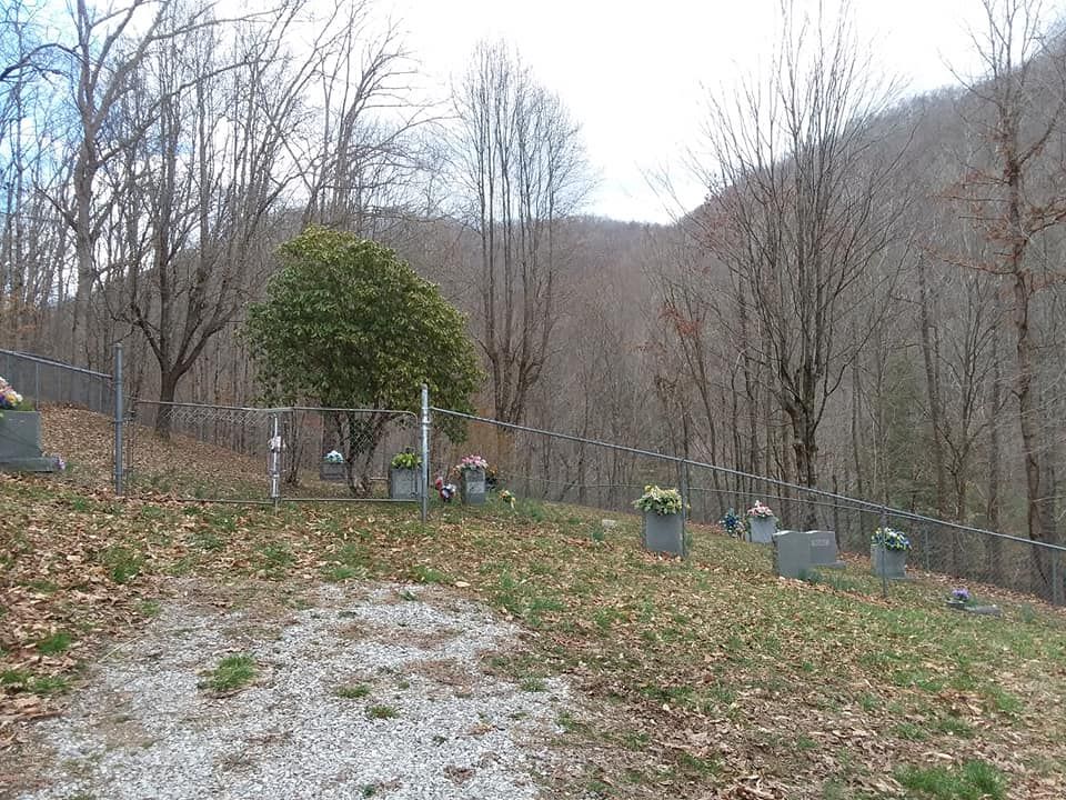
| Memorials | : | 3 |
| Location | : | Creekville, Clay County, USA |
| Coordinate | : | 37.0851900, -83.5337500 |
| Description | : | From South 66 turn onto Old Red Bird Creek Road.Go across a low water bridge and bear right as you pass the entrance to a church.Old Red Bird Creek Road will become Elisha Creek Road as you continue about 2 miles bearing right.You will leave the blacktop onto a gravel road continue onto the road about.3 of a mile.The cemetery is in Clay Co.KY and at the end of Elisha Creek Road. |
frequently asked questions (FAQ):
-
Where is Sizemore Cemetery?
Sizemore Cemetery is located at Creekville, Clay County ,Kentucky , 40972USA.
-
Sizemore Cemetery cemetery's updated grave count on graveviews.com?
3 memorials
-
Where are the coordinates of the Sizemore Cemetery?
Latitude: 37.0851900
Longitude: -83.5337500

Nearby Cemetories:
1. Sizemore-Gilbert Cemetery
Leslie County, USA
Coordinate: 37.0807500, -83.5507900
2. Mosley-Napier Cemetery
Marcum, Clay County, USA
Coordinate: 37.0854400, -83.5520000
3. Orville Napier Cemetery
Creekville, Clay County, USA
Coordinate: 37.0895100, -83.5552900
4. Felix Grundy Gilbert Gravesite
Marcum, Clay County, USA
Coordinate: 37.0966700, -83.5562100
5. John Gilbert Cemetery
Marcum, Clay County, USA
Coordinate: 37.0997500, -83.5572900
6. John Sizemore Cemetery
Marcum, Clay County, USA
Coordinate: 37.1068800, -83.5515600
7. General Bowling Cemetery
Marcum, Clay County, USA
Coordinate: 37.1107000, -83.5581100
8. Stewart Cemetery
Clay County, USA
Coordinate: 37.0632580, -83.5715500
9. Langdon Cemetery
Marcum, Clay County, USA
Coordinate: 37.1138200, -83.5649200
10. Reynolds Cemetery
Clay County, USA
Coordinate: 37.0510000, -83.5103200
11. Asher Cemetery
Leslie County, USA
Coordinate: 37.0370010, -83.5391040
12. Ledford Cemetery #1
Peabody, Clay County, USA
Coordinate: 37.1296900, -83.5702700
13. Hoskins Family Cemetery #1
Peabody, Clay County, USA
Coordinate: 37.1183014, -83.5875015
14. Holland Cemetery
Peabody, Clay County, USA
Coordinate: 37.1160700, -83.5915300
15. Arnetts Cemetery
Peabody, Clay County, USA
Coordinate: 37.1116982, -83.5999985
16. Bowens Creek Cemetery
Essie, Leslie County, USA
Coordinate: 37.0432281, -83.4800292
17. Upper Jack's Creek Roark Family Cemetery
Roark, Leslie County, USA
Coordinate: 37.0235240, -83.5184100
18. Collett Cemetery
Essie, Leslie County, USA
Coordinate: 37.0295972, -83.4831472
19. Asher Cemetery
Queendale, Clay County, USA
Coordinate: 37.0156800, -83.5262400
20. Gibson-Begley Cemetery
Leslie County, USA
Coordinate: 37.1532020, -83.5075410
21. Dogwood Lane Cemetery
Essie, Leslie County, USA
Coordinate: 37.0714560, -83.4426350
22. Earl's Family Cemetery
Bear Branch, Leslie County, USA
Coordinate: 37.1442417, -83.4747617
23. Albert Morgan Cemetery
Essie, Leslie County, USA
Coordinate: 37.0757400, -83.4398420
24. Jim Hoskins Family Cemetery
Peabody, Clay County, USA
Coordinate: 37.1438100, -83.5937900