
| Memorials | : | 3 |
| Location | : | Leslie County, USA |
| Coordinate | : | 37.0807500, -83.5507900 |
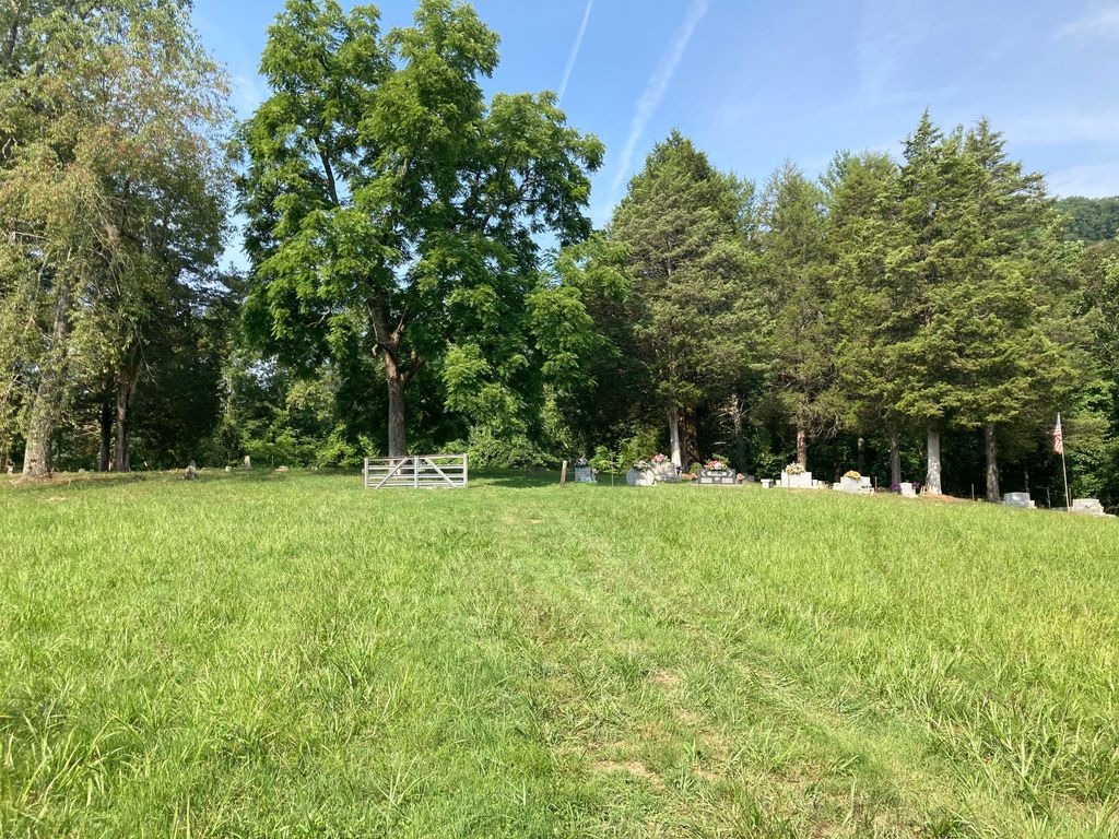
| Description | : | This cemetery is close to the Leslie-Clay line, not far from Creekville, Clay County, KY. It is located near the mouth of Flat Creek off Hwy 66 South. It is across the water and not sure whether there is access to cross a bridge. It appears that the bridge has been washed out. It might be possible to access the cemetery via Elisha Creek Road. |
frequently asked questions (FAQ):
-
Where is Sizemore-Gilbert Cemetery?
Sizemore-Gilbert Cemetery is located at Leslie County ,Kentucky ,USA.
-
Sizemore-Gilbert Cemetery cemetery's updated grave count on graveviews.com?
3 memorials
-
Where are the coordinates of the Sizemore-Gilbert Cemetery?
Latitude: 37.0807500
Longitude: -83.5507900
Nearby Cemetories:
1. Mosley-Napier Cemetery
Marcum, Clay County, USA
Coordinate: 37.0854400, -83.5520000
2. Orville Napier Cemetery
Creekville, Clay County, USA
Coordinate: 37.0895100, -83.5552900
3. Sizemore Cemetery
Creekville, Clay County, USA
Coordinate: 37.0851900, -83.5337500
4. Felix Grundy Gilbert Gravesite
Marcum, Clay County, USA
Coordinate: 37.0966700, -83.5562100
5. John Gilbert Cemetery
Marcum, Clay County, USA
Coordinate: 37.0997500, -83.5572900
6. Stewart Cemetery
Clay County, USA
Coordinate: 37.0632580, -83.5715500
7. John Sizemore Cemetery
Marcum, Clay County, USA
Coordinate: 37.1068800, -83.5515600
8. General Bowling Cemetery
Marcum, Clay County, USA
Coordinate: 37.1107000, -83.5581100
9. Langdon Cemetery
Marcum, Clay County, USA
Coordinate: 37.1138200, -83.5649200
10. Reynolds Cemetery
Clay County, USA
Coordinate: 37.0510000, -83.5103200
11. Asher Cemetery
Leslie County, USA
Coordinate: 37.0370010, -83.5391040
12. Hoskins Family Cemetery #1
Peabody, Clay County, USA
Coordinate: 37.1183014, -83.5875015
13. Holland Cemetery
Peabody, Clay County, USA
Coordinate: 37.1160700, -83.5915300
14. Arnetts Cemetery
Peabody, Clay County, USA
Coordinate: 37.1116982, -83.5999985
15. Ledford Cemetery #1
Peabody, Clay County, USA
Coordinate: 37.1296900, -83.5702700
16. Upper Jack's Creek Roark Family Cemetery
Roark, Leslie County, USA
Coordinate: 37.0235240, -83.5184100
17. Mudlick Cemetery
Plank, Clay County, USA
Coordinate: 37.0486120, -83.6191600
18. Delph Cemetery
Spring Creek, Clay County, USA
Coordinate: 37.0299500, -83.6018600
19. Bowens Creek Cemetery
Essie, Leslie County, USA
Coordinate: 37.0432281, -83.4800292
20. Asher Cemetery
Queendale, Clay County, USA
Coordinate: 37.0156800, -83.5262400
21. Jim Hoskins Family Cemetery
Peabody, Clay County, USA
Coordinate: 37.1438100, -83.5937900
22. Jones Family Cemetery
Big Creek, Clay County, USA
Coordinate: 37.1279000, -83.6224100
23. Collett Cemetery
Essie, Leslie County, USA
Coordinate: 37.0295972, -83.4831472
24. Dillion Asher Cemetery
Queendale, Clay County, USA
Coordinate: 37.0080240, -83.5270360