
| Memorials | : | 3 |
| Location | : | Marcum, Clay County, USA |
| Coordinate | : | 37.0854400, -83.5520000 |
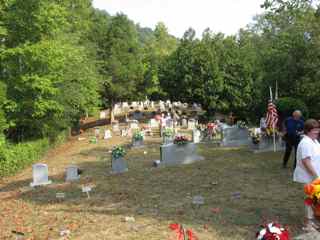
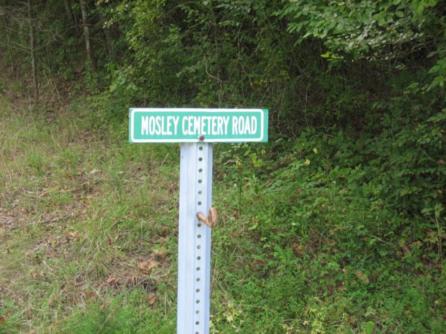
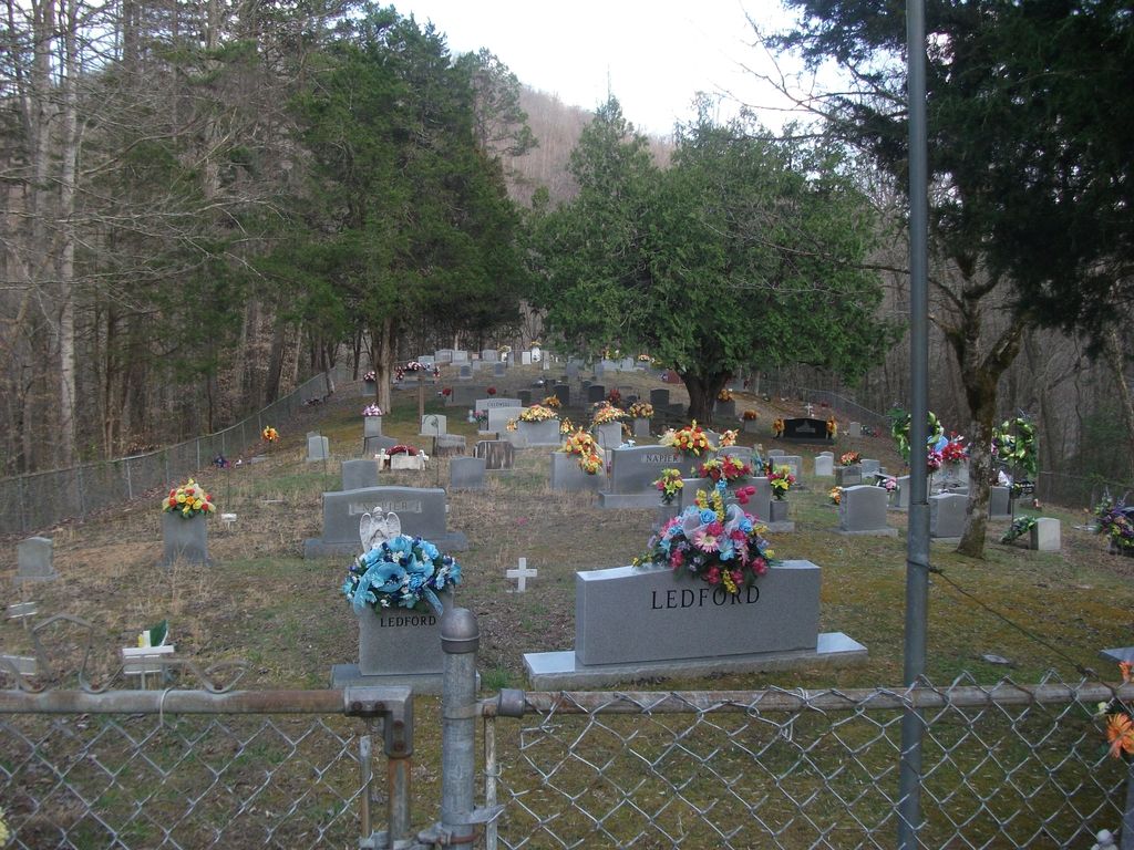
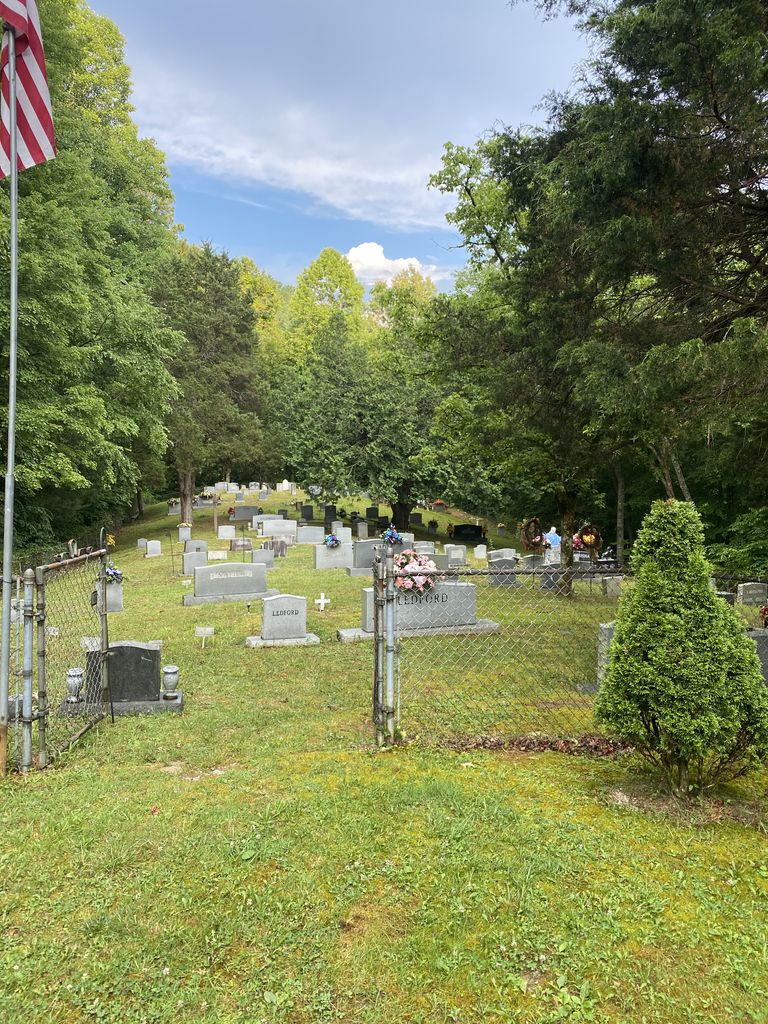
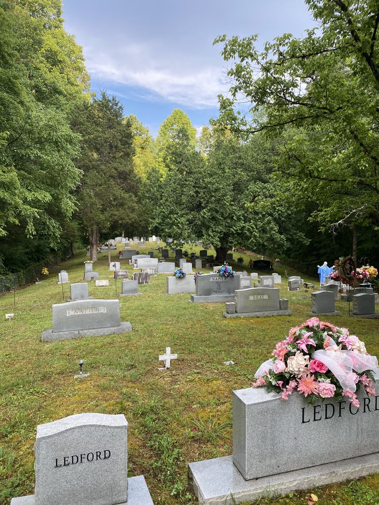
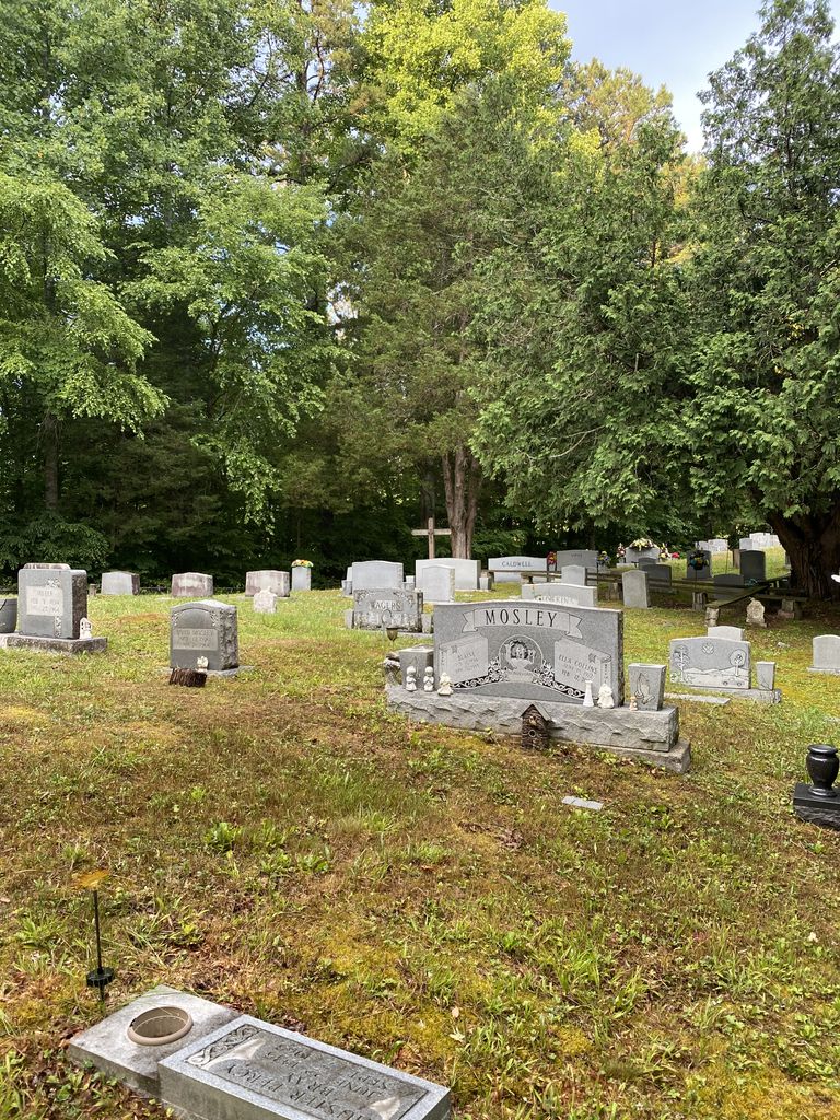
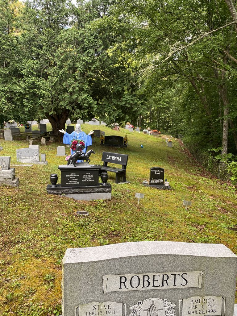
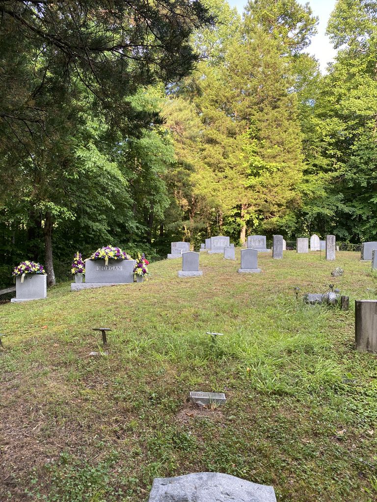
| Description | : | The Mosley-Napier Cemetery is located on KY-66 7.9 miles south of KY-80/US421. There is a small green sign, "Mosley Cemetery Road," on the west side of the road. The cemetery is located up a steep paved road at the top of the hill. It is fenced and nicely maintained. |
frequently asked questions (FAQ):
-
Where is Mosley-Napier Cemetery?
Mosley-Napier Cemetery is located at Mosley Cemetery Road Marcum, Clay County ,Kentucky ,USA.
-
Mosley-Napier Cemetery cemetery's updated grave count on graveviews.com?
2 memorials
-
Where are the coordinates of the Mosley-Napier Cemetery?
Latitude: 37.0854400
Longitude: -83.5520000

Nearby Cemetories:
1. Sizemore-Gilbert Cemetery
Leslie County, USA
Coordinate: 37.0807500, -83.5507900
2. Orville Napier Cemetery
Creekville, Clay County, USA
Coordinate: 37.0895100, -83.5552900
3. Felix Grundy Gilbert Gravesite
Marcum, Clay County, USA
Coordinate: 37.0966700, -83.5562100
4. Sizemore Cemetery
Creekville, Clay County, USA
Coordinate: 37.0851900, -83.5337500
5. John Gilbert Cemetery
Marcum, Clay County, USA
Coordinate: 37.0997500, -83.5572900
6. John Sizemore Cemetery
Marcum, Clay County, USA
Coordinate: 37.1068800, -83.5515600
7. General Bowling Cemetery
Marcum, Clay County, USA
Coordinate: 37.1107000, -83.5581100
8. Stewart Cemetery
Clay County, USA
Coordinate: 37.0632580, -83.5715500
9. Langdon Cemetery
Marcum, Clay County, USA
Coordinate: 37.1138200, -83.5649200
10. Hoskins Family Cemetery #1
Peabody, Clay County, USA
Coordinate: 37.1183014, -83.5875015
11. Holland Cemetery
Peabody, Clay County, USA
Coordinate: 37.1160700, -83.5915300
12. Arnetts Cemetery
Peabody, Clay County, USA
Coordinate: 37.1116982, -83.5999985
13. Ledford Cemetery #1
Peabody, Clay County, USA
Coordinate: 37.1296900, -83.5702700
14. Reynolds Cemetery
Clay County, USA
Coordinate: 37.0510000, -83.5103200
15. Asher Cemetery
Leslie County, USA
Coordinate: 37.0370010, -83.5391040
16. Mudlick Cemetery
Plank, Clay County, USA
Coordinate: 37.0486120, -83.6191600
17. Jim Hoskins Family Cemetery
Peabody, Clay County, USA
Coordinate: 37.1438100, -83.5937900
18. Upper Jack's Creek Roark Family Cemetery
Roark, Leslie County, USA
Coordinate: 37.0235240, -83.5184100
19. Delph Cemetery
Spring Creek, Clay County, USA
Coordinate: 37.0299500, -83.6018600
20. Jones Family Cemetery
Big Creek, Clay County, USA
Coordinate: 37.1279000, -83.6224100
21. Bowens Creek Cemetery
Essie, Leslie County, USA
Coordinate: 37.0432281, -83.4800292
22. Lipps Cemetery
Big Creek, Clay County, USA
Coordinate: 37.1315430, -83.6217730
23. Ledford Cemetery #2
Big Creek, Clay County, USA
Coordinate: 37.1370900, -83.6157000
24. Asher Cemetery
Queendale, Clay County, USA
Coordinate: 37.0156800, -83.5262400