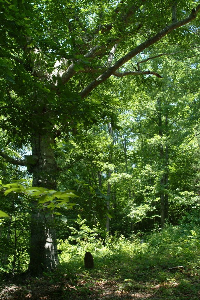
| Memorials | : | 1 |
| Location | : | Clay County, USA |
| Coordinate | : | 37.0632580, -83.5715500 |
| Description | : | Hillside cemetery on Flat Creek southeast of the mouth of Rocky Fork in the Hurricane Hollow on the east side and about 500 feet uphill from the bottom land near the mouth of Rocky Fork; no fence, poorly maintained, has about 15 or so marked graves with about 4 modern and recent graves that are well marked with large headstones, others that are older have rough headstones with inscriptions, some have only plain headstones and foot-stones marking shallow depressions; probably 30 graves, total. This cemetery is located on original Thomas Stewart homestead land along Flat Creek about 3 miles... Read More |
frequently asked questions (FAQ):
-
Where is Stewart Cemetery?
Stewart Cemetery is located at Hurricane Branch, Flat Creek Clay County ,Kentucky , 2000USA.
-
Stewart Cemetery cemetery's updated grave count on graveviews.com?
1 memorials
-
Where are the coordinates of the Stewart Cemetery?
Latitude: 37.0632580
Longitude: -83.5715500
Nearby Cemetories:
1. Sizemore-Gilbert Cemetery
Leslie County, USA
Coordinate: 37.0807500, -83.5507900
2. Mosley-Napier Cemetery
Marcum, Clay County, USA
Coordinate: 37.0854400, -83.5520000
3. Orville Napier Cemetery
Creekville, Clay County, USA
Coordinate: 37.0895100, -83.5552900
4. Felix Grundy Gilbert Gravesite
Marcum, Clay County, USA
Coordinate: 37.0966700, -83.5562100
5. Asher Cemetery
Leslie County, USA
Coordinate: 37.0370010, -83.5391040
6. Sizemore Cemetery
Creekville, Clay County, USA
Coordinate: 37.0851900, -83.5337500
7. John Gilbert Cemetery
Marcum, Clay County, USA
Coordinate: 37.0997500, -83.5572900
8. Mudlick Cemetery
Plank, Clay County, USA
Coordinate: 37.0486120, -83.6191600
9. Delph Cemetery
Spring Creek, Clay County, USA
Coordinate: 37.0299500, -83.6018600
10. John Sizemore Cemetery
Marcum, Clay County, USA
Coordinate: 37.1068800, -83.5515600
11. General Bowling Cemetery
Marcum, Clay County, USA
Coordinate: 37.1107000, -83.5581100
12. Reynolds Cemetery
Clay County, USA
Coordinate: 37.0510000, -83.5103200
13. Langdon Cemetery
Marcum, Clay County, USA
Coordinate: 37.1138200, -83.5649200
14. Smith-Couch Cemetery
Plank, Clay County, USA
Coordinate: 37.0397230, -83.6299430
15. Arnetts Cemetery
Peabody, Clay County, USA
Coordinate: 37.1116982, -83.5999985
16. Holland Cemetery
Peabody, Clay County, USA
Coordinate: 37.1160700, -83.5915300
17. Hoskins Family Cemetery #1
Peabody, Clay County, USA
Coordinate: 37.1183014, -83.5875015
18. Upper Jack's Creek Roark Family Cemetery
Roark, Leslie County, USA
Coordinate: 37.0235240, -83.5184100
19. Smith Family Cemetery
Ashers Fork, Clay County, USA
Coordinate: 37.0067500, -83.5902220
20. Asher Cemetery
Queendale, Clay County, USA
Coordinate: 37.0156800, -83.5262400
21. Walker Cemetery #1
Plank, Clay County, USA
Coordinate: 37.0760800, -83.6466400
22. Lewis Family Cemetery
Ashers Fork, Clay County, USA
Coordinate: 37.0114160, -83.6161130
23. Smith-Henson Cemetery
Plank, Clay County, USA
Coordinate: 37.0766100, -83.6503200
24. Dillion Asher Cemetery
Queendale, Clay County, USA
Coordinate: 37.0080240, -83.5270360

