
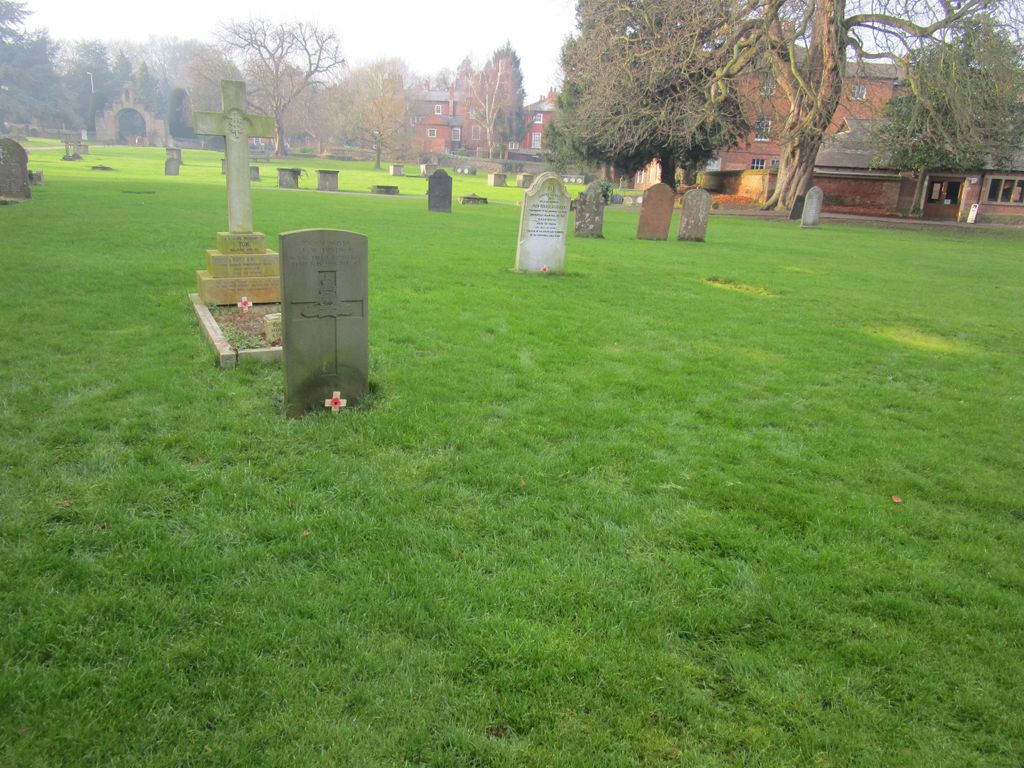
| Memorials | : | 23 |
| Location | : | Southwell, Newark and Sherwood District, England |
| Coordinate | : | 53.0735100, -0.9524500 |
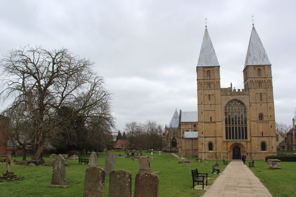
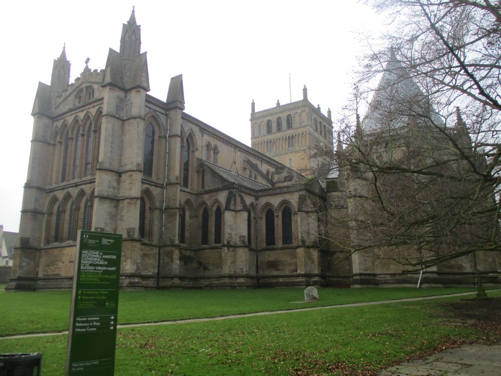
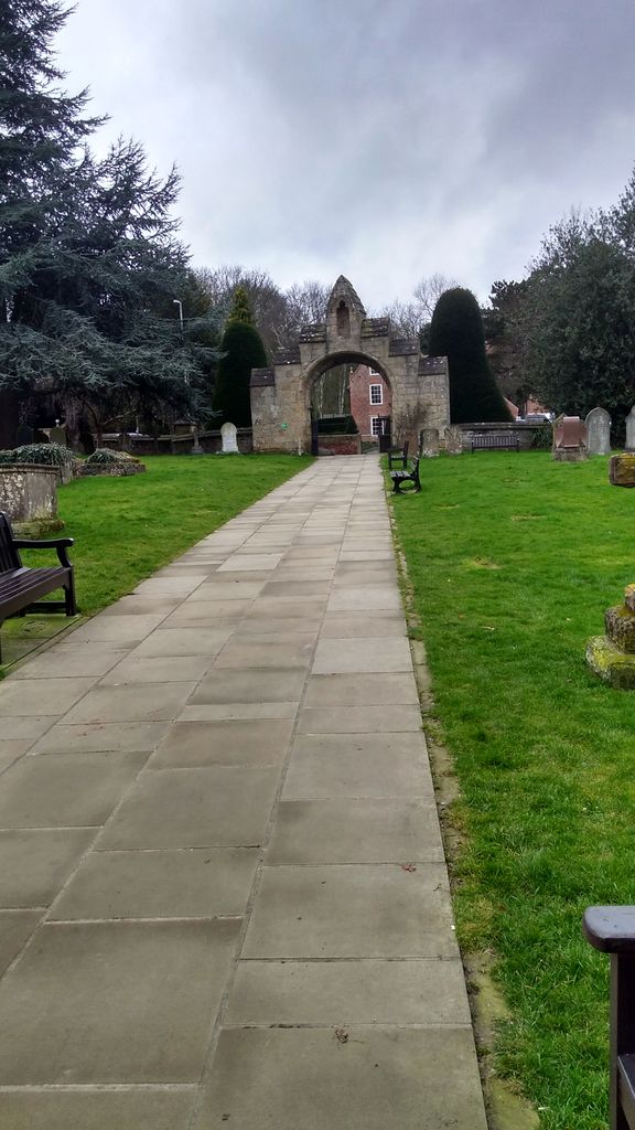
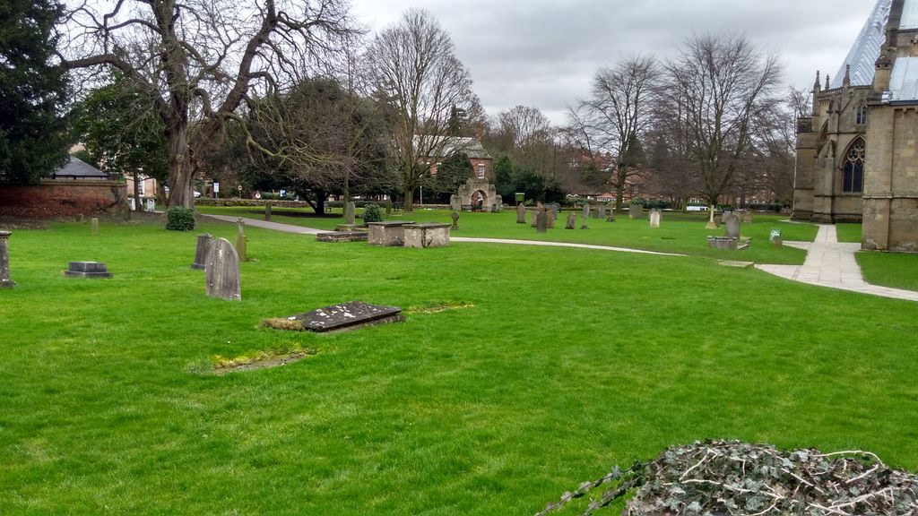
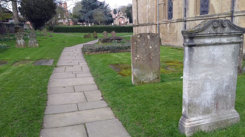
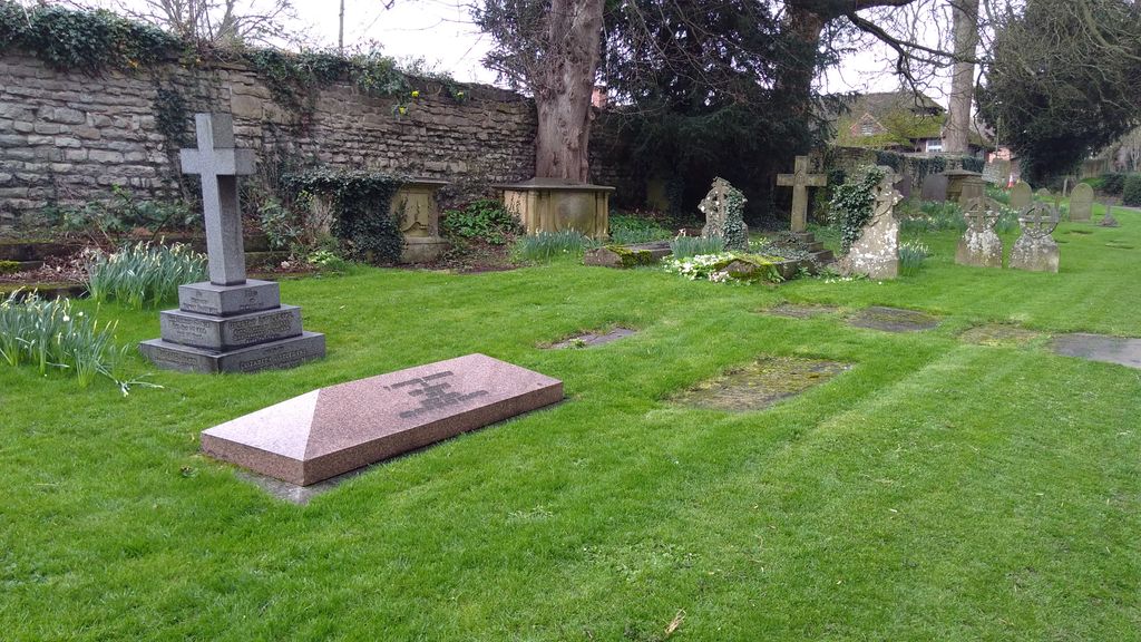
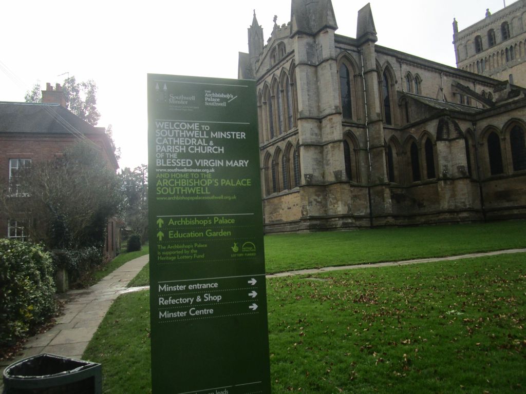
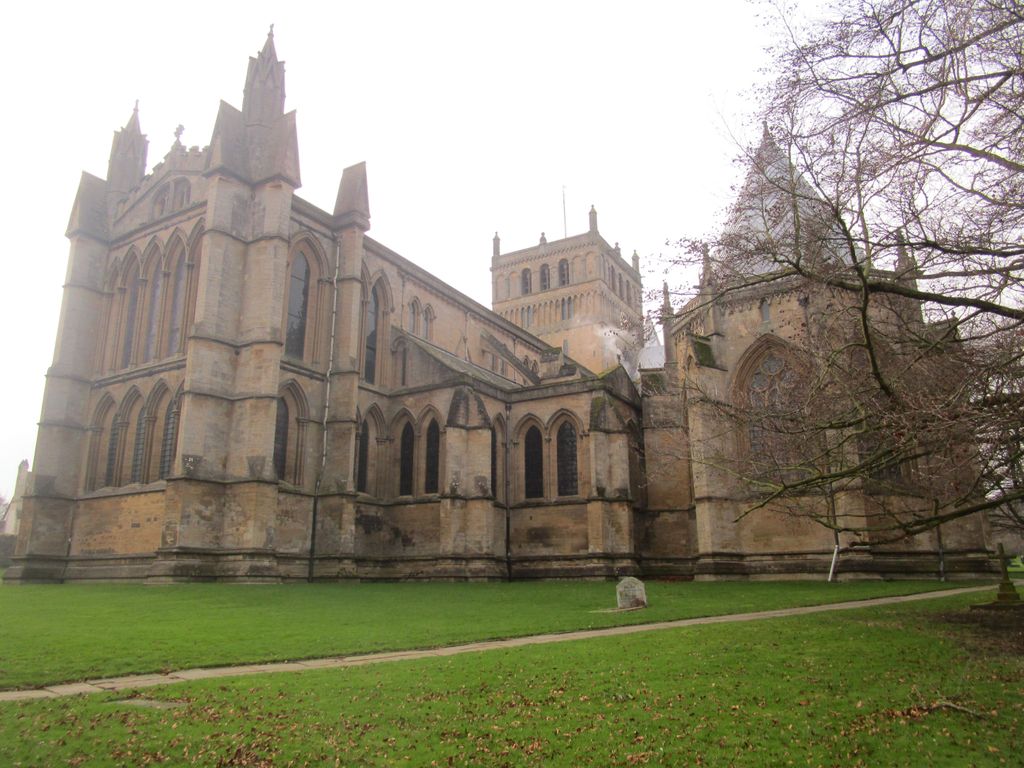
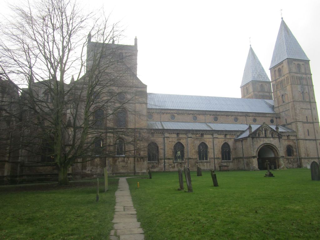
| Description | : | Southwell Minster is a minster and cathedral, in Southwell, Nottinghamshire, England. It is six miles away from Newark-on-Trent and thirteen miles from Mansfield. It is the seat of the Bishop of Southwell and Nottingham and the Diocese of Southwell and Nottingham. |
frequently asked questions (FAQ):
-
Where is Southwell Minster Churchyard?
Southwell Minster Churchyard is located at Southwell, Newark and Sherwood District ,Nottinghamshire ,England.
-
Southwell Minster Churchyard cemetery's updated grave count on graveviews.com?
22 memorials
-
Where are the coordinates of the Southwell Minster Churchyard?
Latitude: 53.0735100
Longitude: -0.9524500
Nearby Cemetories:
1. St Michael the Archangel Churchyard
Halam, Newark and Sherwood District, England
Coordinate: 53.0822150, -0.9891350
2. St Denis Churchyard
Morton, Newark and Sherwood District, England
Coordinate: 53.0545100, -0.9168100
3. St Peter & St Paul's Churchyard
Upton, Newark and Sherwood District, England
Coordinate: 53.0805800, -0.9014900
4. Holy Trinity Churchyard
Rolleston, Newark and Sherwood District, England
Coordinate: 53.0646500, -0.8944500
5. St Mary's Churchyard
Bleasby, Newark and Sherwood District, England
Coordinate: 53.0386900, -0.9310700
6. St Giles Churchyard
Edingley, Newark and Sherwood District, England
Coordinate: 53.0958400, -1.0082600
7. St Swithin Churchyard
Kirklington, Newark and Sherwood District, England
Coordinate: 53.1113200, -0.9868040
8. St Oswald Churchyard
East Stoke, Newark and Sherwood District, England
Coordinate: 53.0427727, -0.8860863
9. St Laurence's Churchyard
Gonalston, Newark and Sherwood District, England
Coordinate: 53.0201000, -0.9845830
10. St Michael Churchyard
Farnsfield, Newark and Sherwood District, England
Coordinate: 53.1021600, -1.0363990
11. St. Michael's Churchyard
Averham, Newark and Sherwood District, England
Coordinate: 53.0810080, -0.8549840
12. St Michael Churchyard
Hoveringham, Newark and Sherwood District, England
Coordinate: 53.0124370, -0.9603240
13. Farndon Municipal Cemetery
Farndon, Newark and Sherwood District, England
Coordinate: 53.0606540, -0.8487310
14. St Laurence Churchyard
Thorpe, Newark and Sherwood District, England
Coordinate: 53.0428100, -0.8575900
15. St Radegund Churchyard
Maplebeck, Newark and Sherwood District, England
Coordinate: 53.1390300, -0.9385800
16. St Wilfrid's Churchyard
Kelham, Newark and Sherwood District, England
Coordinate: 53.0901100, -0.8459700
17. All Saints Churchyard
Syerston, Newark and Sherwood District, England
Coordinate: 53.0194600, -0.8884800
18. St Peter and St Paul Churchyard
Oxton, Newark and Sherwood District, England
Coordinate: 53.0560880, -1.0613440
19. Lowdham Saint Mary Churchyard Extension
Lowdham, Newark and Sherwood District, England
Coordinate: 53.0143500, -1.0125800
20. St Mary the Virgin Churchyard
Lowdham, Newark and Sherwood District, England
Coordinate: 53.0146670, -1.0135510
21. All Saints Churchyard
Elston, Newark and Sherwood District, England
Coordinate: 53.0237280, -0.8701810
22. St Andrew Churchyard
Caunton, Newark and Sherwood District, England
Coordinate: 53.1322090, -0.8869640
23. All Saints Churchyard
Hawton, Newark and Sherwood District, England
Coordinate: 53.0513890, -0.8258330
24. Woodborough Cemetery
Woodborough, Gedling Borough, England
Coordinate: 53.0272840, -1.0600540