
| Memorials | : | 0 |
| Location | : | Lowdham, Newark and Sherwood District, England |
| Coordinate | : | 53.0146670, -1.0135510 |
frequently asked questions (FAQ):
-
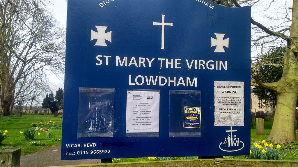
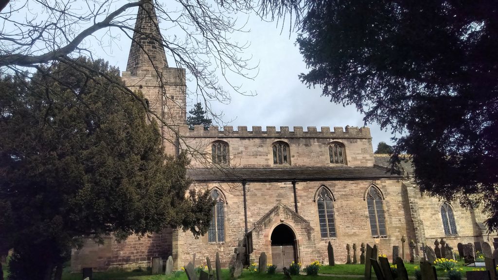
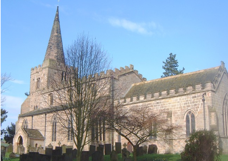
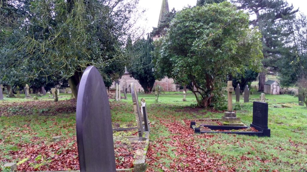
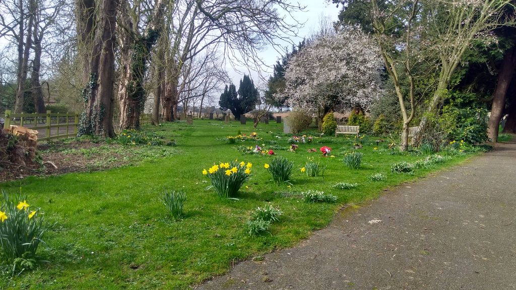
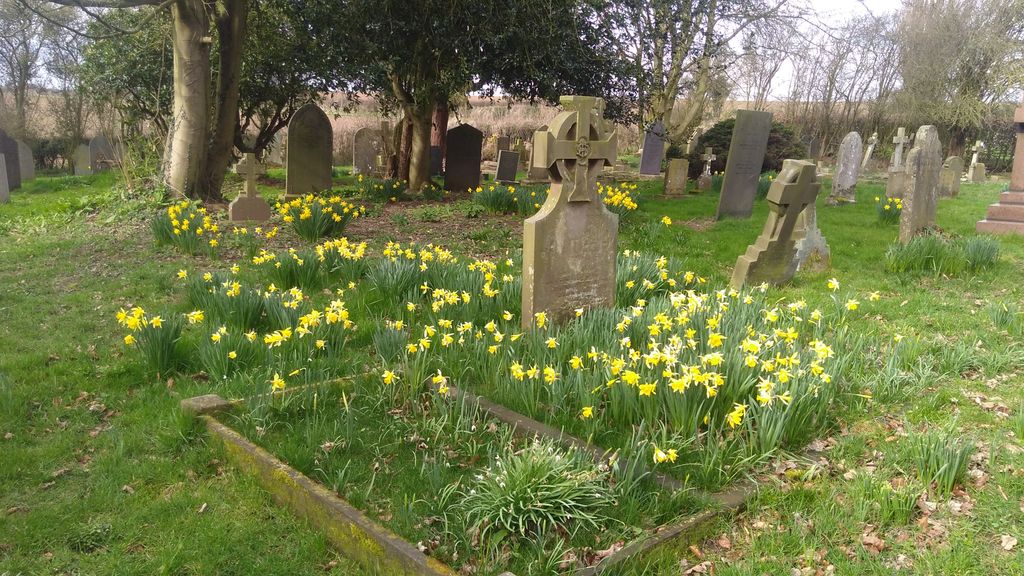
Where is St Mary the Virgin Churchyard?
St Mary the Virgin Churchyard is located at Lowdham, Newark and Sherwood District ,Nottinghamshire ,England.
-
St Mary the Virgin Churchyard cemetery's updated grave count on graveviews.com?
0 memorials
-
Where are the coordinates of the St Mary the Virgin Churchyard?
Latitude: 53.0146670
Longitude: -1.0135510
Nearby Cemetories:
1. Lowdham Saint Mary Churchyard Extension
Lowdham, Newark and Sherwood District, England
Coordinate: 53.0143500, -1.0125800
2. St Laurence's Churchyard
Gonalston, Newark and Sherwood District, England
Coordinate: 53.0201000, -0.9845830
3. St John the Baptist Gunthorpe
Gunthorpe, Newark and Sherwood District, England
Coordinate: 52.9925600, -0.9877400
4. Woodborough Cemetery
Woodborough, Gedling Borough, England
Coordinate: 53.0272840, -1.0600540
5. St. Helen's Churchyard
Burton Joyce, Gedling Borough, England
Coordinate: 52.9866700, -1.0365400
6. Burton Joyce Cemetery
Burton Joyce, Gedling Borough, England
Coordinate: 52.9863100, -1.0370710
7. St Michael Churchyard
Hoveringham, Newark and Sherwood District, England
Coordinate: 53.0124370, -0.9603240
8. Shelford Priory
Shelford, Rushcliffe Borough, England
Coordinate: 52.9830600, -0.9994100
9. SS Peter & Paul Churchyard
Shelford, Rushcliffe Borough, England
Coordinate: 52.9745600, -1.0161200
10. Saint Peter Churchyard
East Bridgford, Rushcliffe Borough, England
Coordinate: 52.9809170, -0.9726560
11. St Luke's Churchyard
Stoke Bardolph, Gedling Borough, England
Coordinate: 52.9680500, -1.0389300
12. St Peter and St Paul Churchyard
Oxton, Newark and Sherwood District, England
Coordinate: 53.0560880, -1.0613440
13. St. Luke's Churchyard
Stoke Bardolph, Gedling Borough, England
Coordinate: 52.9659896, -1.0404380
14. St Mary's Churchyard
Bleasby, Newark and Sherwood District, England
Coordinate: 53.0386900, -0.9310700
15. All Hallows Churchyard
Gedling, Gedling Borough, England
Coordinate: 52.9769400, -1.0805130
16. Gedling Cemetery
Gedling, Gedling Borough, England
Coordinate: 52.9806930, -1.0870670
17. Carlton Cemetery
Nottingham, Nottingham Unitary Authority, England
Coordinate: 52.9682820, -1.0900230
18. St Michael the Archangel Churchyard
Halam, Newark and Sherwood District, England
Coordinate: 53.0822150, -0.9891350
19. Southwell Minster Churchyard
Southwell, Newark and Sherwood District, England
Coordinate: 53.0735100, -0.9524500
20. St Mary Churchyard
Radcliffe-on-Trent, Rushcliffe Borough, England
Coordinate: 52.9464660, -1.0419420
21. St Denis Churchyard
Morton, Newark and Sherwood District, England
Coordinate: 53.0545100, -0.9168100
22. Radcliffe-on-Trent Cemetery
Radcliffe-on-Trent, Rushcliffe Borough, England
Coordinate: 52.9459200, -1.0409700
23. Tithe Green Burial Ground
Calverton, Gedling Borough, England
Coordinate: 53.0672540, -1.0949290
24. St Mary and All Saints Churchyard
Bingham, Rushcliffe Borough, England
Coordinate: 52.9522920, -0.9484950