| Memorials | : | 1 |
| Location | : | Maplebeck, Newark and Sherwood District, England |
| Coordinate | : | 53.1390300, -0.9385800 |
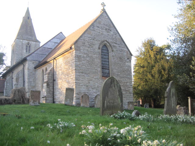
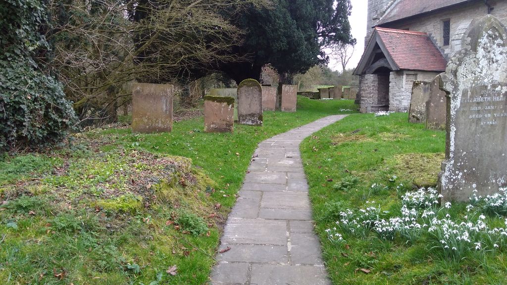
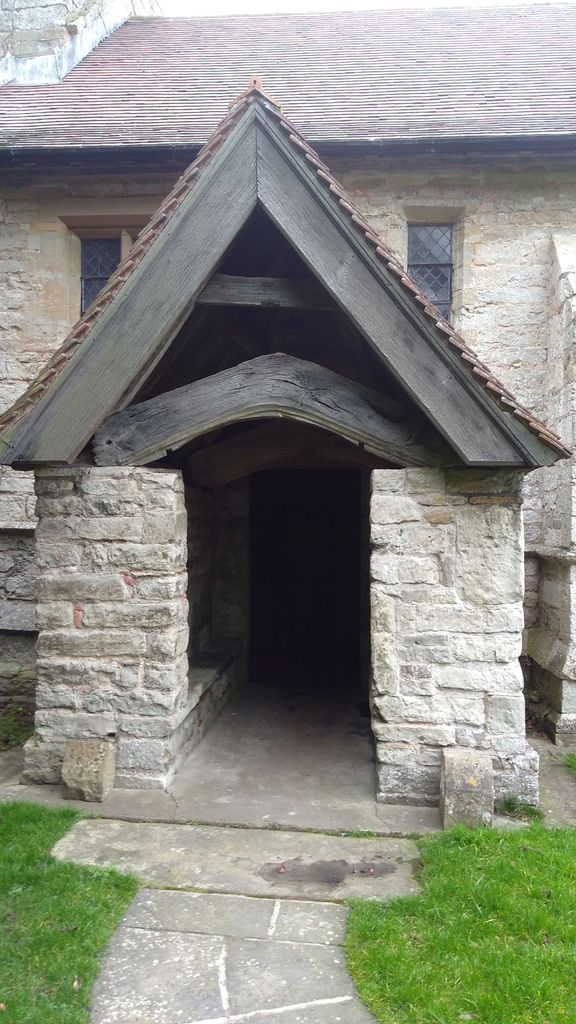
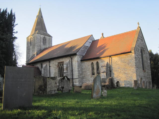
| Description | : | It is a small, simple and much loved village Church and has no great tombs or fanciful carvings to decorate the interior. It can seat just about 80 people. Set at the heart of the village in it's own ancient Churchyard above the Village Green. Most of the inscriptions on the tombstones mark the graves of the farmers and farm labourers who have lived and worked for generations in this agrarian hamlet, with its five farms and associated cottages in an unspoiled area of Mid Nottinghamshire. |
frequently asked questions (FAQ):
-
Where is St Radegund Churchyard?
St Radegund Churchyard is located at Maplebeck, Newark and Sherwood District ,Nottinghamshire ,England.
-
St Radegund Churchyard cemetery's updated grave count on graveviews.com?
1 memorials
-
Where are the coordinates of the St Radegund Churchyard?
Latitude: 53.1390300
Longitude: -0.9385800
Nearby Cemetories:
1. St Andrew Churchyard
Caunton, Newark and Sherwood District, England
Coordinate: 53.1322090, -0.8869640
2. St Bartholomew Churchyard
Kneesall, Newark and Sherwood District, England
Coordinate: 53.1702400, -0.9479600
3. St Swithin Churchyard
Kirklington, Newark and Sherwood District, England
Coordinate: 53.1113200, -0.9868040
4. St Michael the Archangel Churchyard
Laxton, Newark and Sherwood District, England
Coordinate: 53.1958110, -0.9208850
5. St. Laurence Churchyard
Norwell, Newark and Sherwood District, England
Coordinate: 53.1474220, -0.8418600
6. St Swithun's Churchyard Extension
Wellow, Newark and Sherwood District, England
Coordinate: 53.1873400, -0.9968500
7. St Giles Churchyard
Edingley, Newark and Sherwood District, England
Coordinate: 53.0958400, -1.0082600
8. St Swithun's Churchyard
Wellow, Newark and Sherwood District, England
Coordinate: 53.1877400, -0.9977000
9. St Peter & St Paul's Churchyard
Upton, Newark and Sherwood District, England
Coordinate: 53.0805800, -0.9014900
10. St Michael the Archangel Churchyard
Halam, Newark and Sherwood District, England
Coordinate: 53.0822150, -0.9891350
11. Southwell Minster Churchyard
Southwell, Newark and Sherwood District, England
Coordinate: 53.0735100, -0.9524500
12. St Michael Churchyard
Farnsfield, Newark and Sherwood District, England
Coordinate: 53.1021600, -1.0363990
13. Sherwood Forest Crematorium
Ollerton, Newark and Sherwood District, England
Coordinate: 53.2026140, -1.0005390
14. St Wilfrid's Churchyard
Kelham, Newark and Sherwood District, England
Coordinate: 53.0901100, -0.8459700
15. St. Matthew Parish Churchyard
Boughton, Newark and Sherwood District, England
Coordinate: 53.2089100, -0.9855900
16. St. Michael's Churchyard
Averham, Newark and Sherwood District, England
Coordinate: 53.0810080, -0.8549840
17. Ollerton Cemetery
Ollerton, Newark and Sherwood District, England
Coordinate: 53.2025700, -1.0139900
18. Holy Trinity Churchyard
Rolleston, Newark and Sherwood District, England
Coordinate: 53.0646500, -0.8944500
19. St Giles Churchyard
Cromwell, Newark and Sherwood District, England
Coordinate: 53.1449750, -0.8063850
20. Holy Trinity Churchyard
Kirton, Newark and Sherwood District, England
Coordinate: 53.2170600, -0.9666600
21. St Wilfred Churchyard
South Muskham, Newark and Sherwood District, England
Coordinate: 53.1071300, -0.8156400
22. St Mary's Churchyard
Carlton-on-Trent, Newark and Sherwood District, England
Coordinate: 53.1665950, -0.8058160
23. St Denis Churchyard
Morton, Newark and Sherwood District, England
Coordinate: 53.0545100, -0.9168100
24. All Saints Churchyard
Weston, Newark and Sherwood District, England
Coordinate: 53.2035930, -0.8425490


