| Memorials | : | 0 |
| Location | : | Gonalston, Newark and Sherwood District, England |
| Coordinate | : | 53.0201000, -0.9845830 |
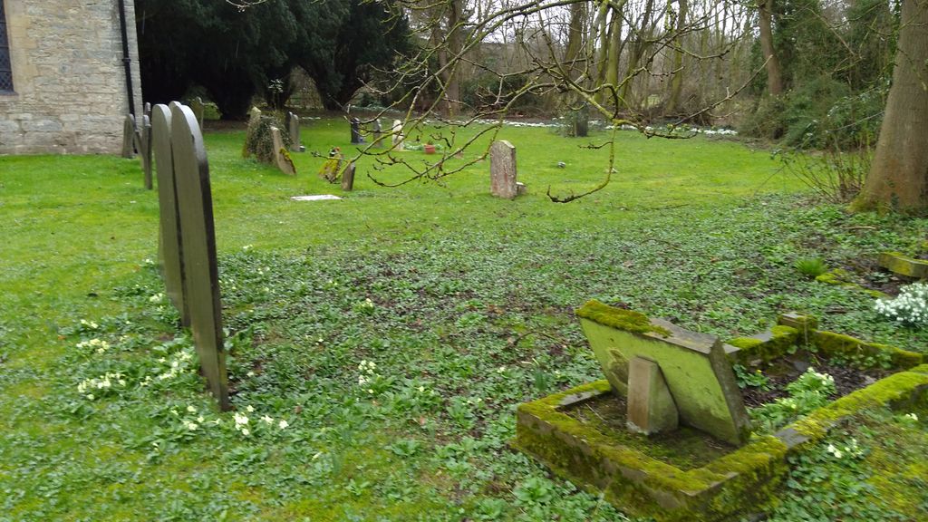
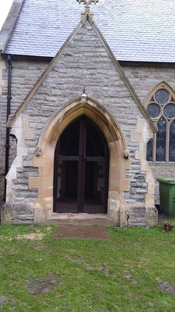
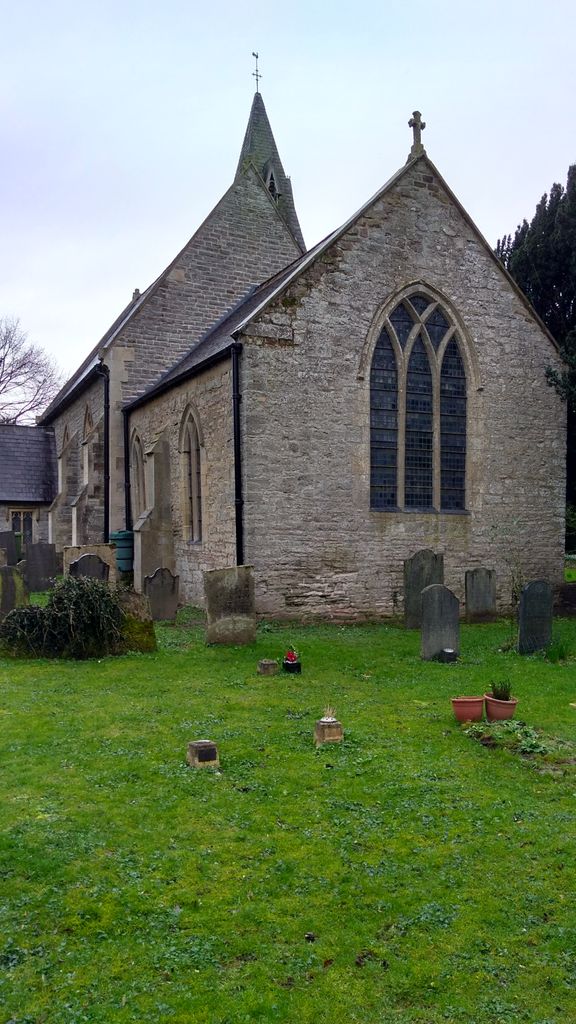
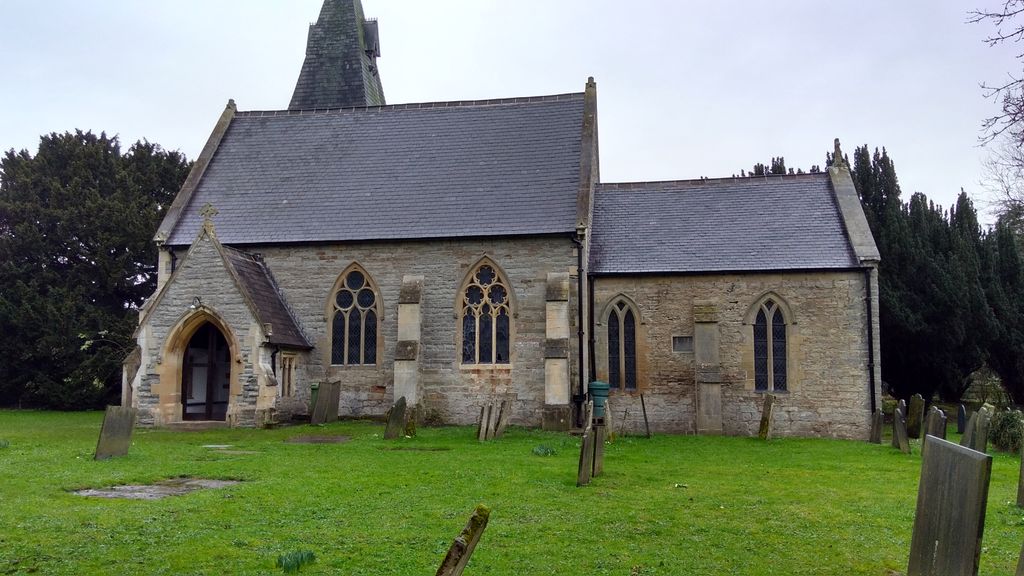
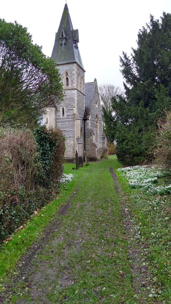
| Description | : | St Laurence's Church, Gonalston is a Grade II listed parish church in the Church of England in Gonalston. The church dates from the 14th century. It was rebuilt in 1843 by Thomas Chambers Hine. Memorials include: early C14 damaged reclining effigies of the Heriz family, 2 of cross legged Knights and the third of Lady Mathilda in wimpole with head under an ogee arch decorated with crockets and further decorated with stiff leaf and more naturalistic foliage. North aisle |
frequently asked questions (FAQ):
-
Where is St Laurence's Churchyard?
St Laurence's Churchyard is located at Gonalston, Newark and Sherwood District ,Nottinghamshire ,England.
-
St Laurence's Churchyard cemetery's updated grave count on graveviews.com?
0 memorials
-
Where are the coordinates of the St Laurence's Churchyard?
Latitude: 53.0201000
Longitude: -0.9845830
Nearby Cemetories:
1. St Michael Churchyard
Hoveringham, Newark and Sherwood District, England
Coordinate: 53.0124370, -0.9603240
2. Lowdham Saint Mary Churchyard Extension
Lowdham, Newark and Sherwood District, England
Coordinate: 53.0143500, -1.0125800
3. St Mary the Virgin Churchyard
Lowdham, Newark and Sherwood District, England
Coordinate: 53.0146670, -1.0135510
4. St John the Baptist Gunthorpe
Gunthorpe, Newark and Sherwood District, England
Coordinate: 52.9925600, -0.9877400
5. St Mary's Churchyard
Bleasby, Newark and Sherwood District, England
Coordinate: 53.0386900, -0.9310700
6. Shelford Priory
Shelford, Rushcliffe Borough, England
Coordinate: 52.9830600, -0.9994100
7. Saint Peter Churchyard
East Bridgford, Rushcliffe Borough, England
Coordinate: 52.9809170, -0.9726560
8. St. Helen's Churchyard
Burton Joyce, Gedling Borough, England
Coordinate: 52.9866700, -1.0365400
9. Woodborough Cemetery
Woodborough, Gedling Borough, England
Coordinate: 53.0272840, -1.0600540
10. Burton Joyce Cemetery
Burton Joyce, Gedling Borough, England
Coordinate: 52.9863100, -1.0370710
11. SS Peter & Paul Churchyard
Shelford, Rushcliffe Borough, England
Coordinate: 52.9745600, -1.0161200
12. St Denis Churchyard
Morton, Newark and Sherwood District, England
Coordinate: 53.0545100, -0.9168100
13. Southwell Minster Churchyard
Southwell, Newark and Sherwood District, England
Coordinate: 53.0735100, -0.9524500
14. All Saints Churchyard
Syerston, Newark and Sherwood District, England
Coordinate: 53.0194600, -0.8884800
15. St Peter and St Paul Churchyard
Oxton, Newark and Sherwood District, England
Coordinate: 53.0560880, -1.0613440
16. St Luke's Churchyard
Stoke Bardolph, Gedling Borough, England
Coordinate: 52.9680500, -1.0389300
17. St Michael the Archangel Churchyard
Halam, Newark and Sherwood District, England
Coordinate: 53.0822150, -0.9891350
18. St Oswald Churchyard
East Stoke, Newark and Sherwood District, England
Coordinate: 53.0427727, -0.8860863
19. St. Luke's Churchyard
Stoke Bardolph, Gedling Borough, England
Coordinate: 52.9659896, -1.0404380
20. All Saints Churchyard
Elston, Newark and Sherwood District, England
Coordinate: 53.0237280, -0.8701810
21. Holy Trinity Churchyard
Rolleston, Newark and Sherwood District, England
Coordinate: 53.0646500, -0.8944500
22. St John of Beverley Churchyard
Scarrington, Rushcliffe Borough, England
Coordinate: 52.9667400, -0.9071900
23. St Mary and All Saints Churchyard
Bingham, Rushcliffe Borough, England
Coordinate: 52.9522920, -0.9484950
24. All Hallows Churchyard
Gedling, Gedling Borough, England
Coordinate: 52.9769400, -1.0805130

