
| Memorials | : | 4132 |
| Location | : | Hythe, Shepway District, England |
| Coordinate | : | 51.0783450, 1.1134600 |
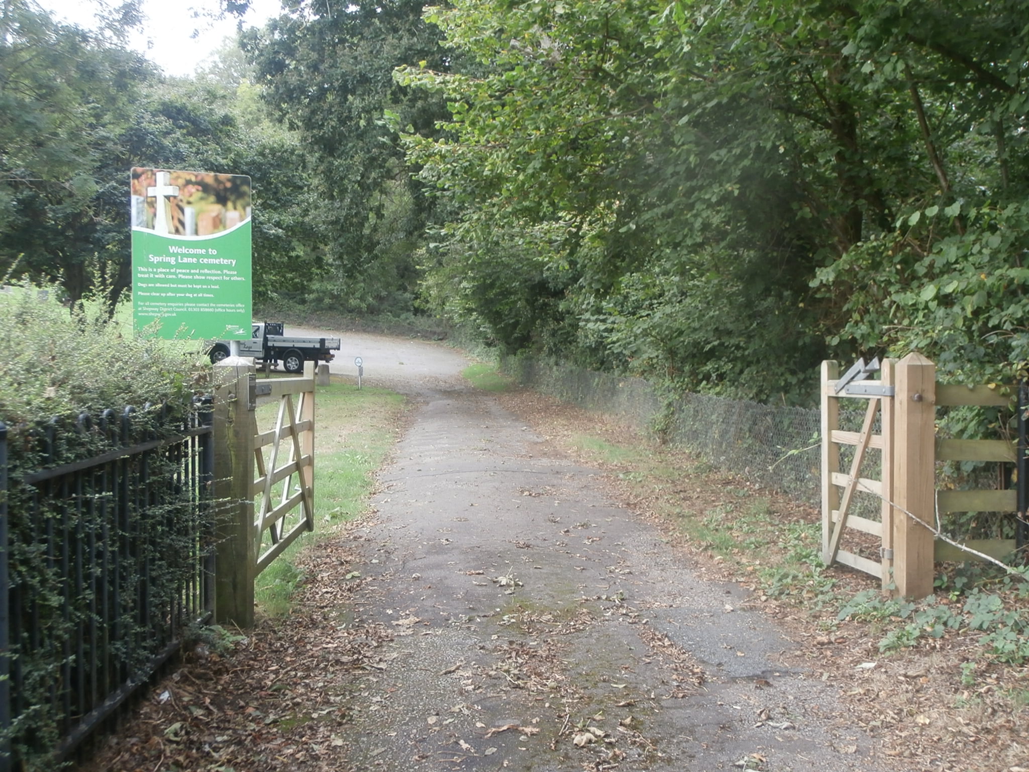
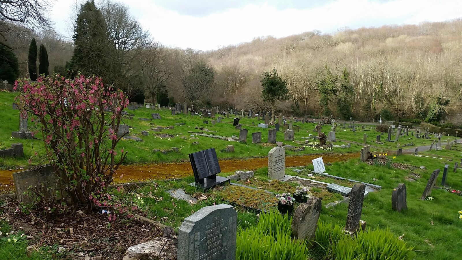
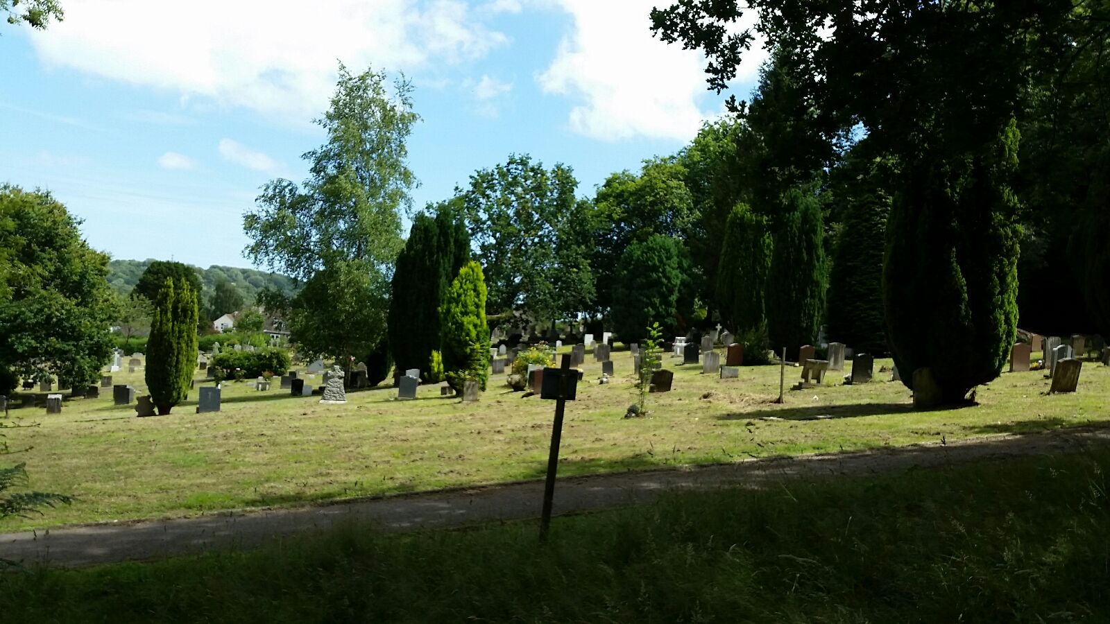
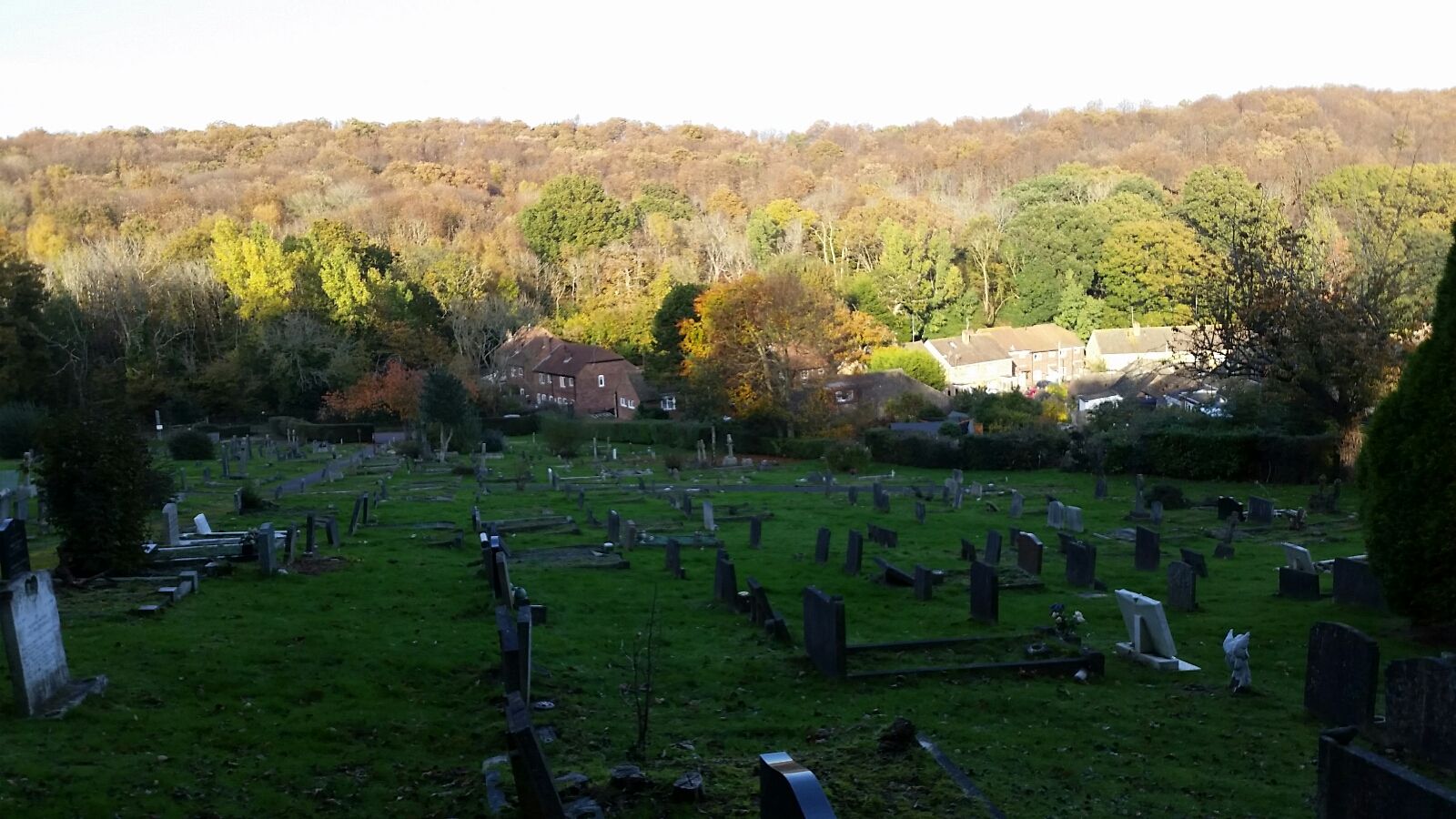
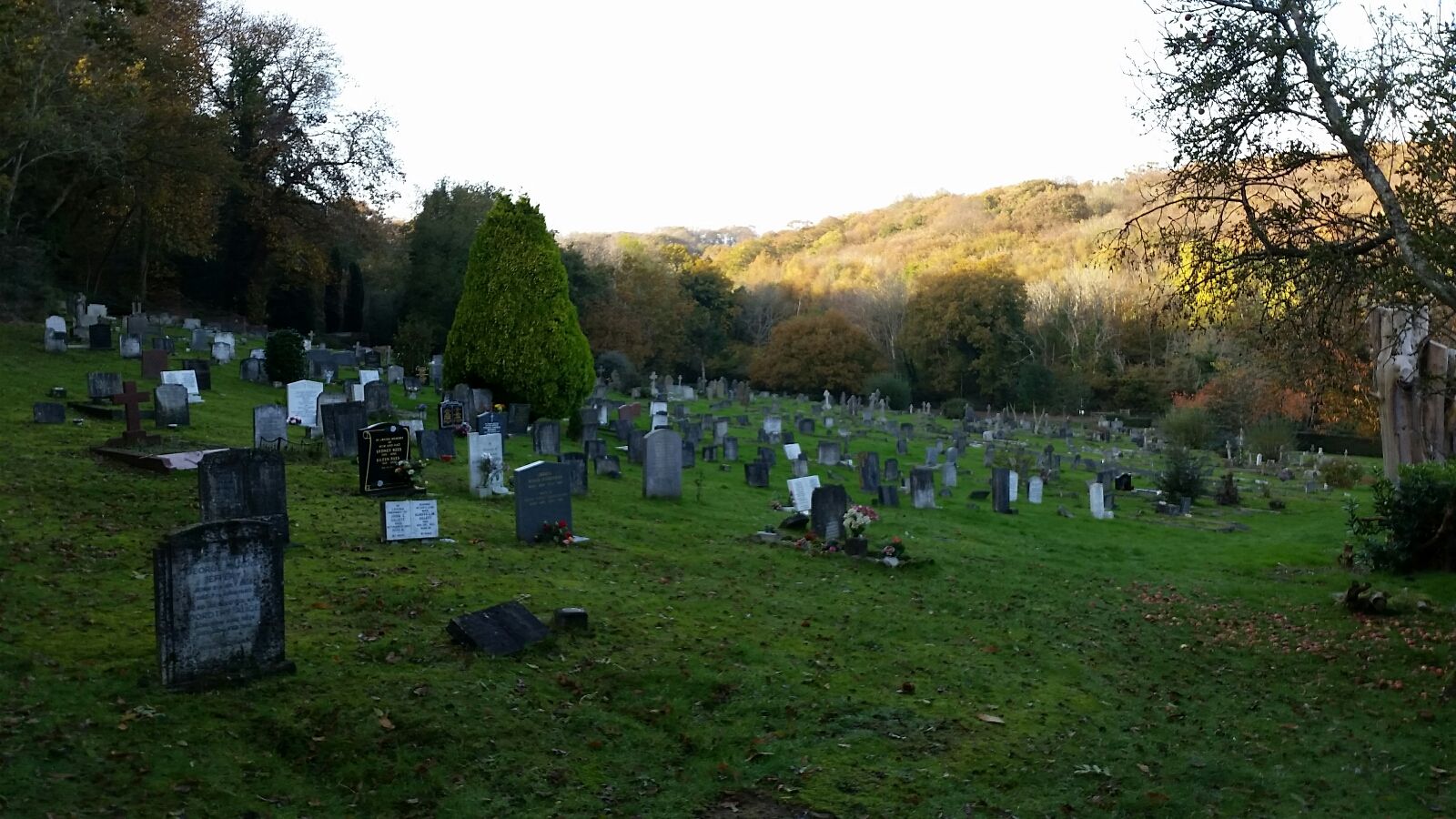
| Description | : | Burials at Spring Lane Cemetery commenced from 6th June 1912. There are no longer burial plots available except in special circumstances such as the burial of cremated remains. Hidden away behind houses, at the end of a road by the same name, Spring Lane Cemetery stands on a steep hill and can be difficult to access. Pathways are slippery when wet and can be dangerous. Used mainly for the residents of Hythe, there are approximately 3500 burial and internment of ashes within this small site. |
frequently asked questions (FAQ):
-
Where is Spring Lane Cemetery?
Spring Lane Cemetery is located at Spring Lane Hythe, Shepway District ,Kent ,England.
-
Spring Lane Cemetery cemetery's updated grave count on graveviews.com?
4074 memorials
-
Where are the coordinates of the Spring Lane Cemetery?
Latitude: 51.0783450
Longitude: 1.1134600

Nearby Cemetories:
1. Shorncliffe Military Cemetery
Folkestone, Shepway District, England
Coordinate: 51.0754204, 1.1270230
2. St. Martin Churchyard
Cheriton, Shepway District, England
Coordinate: 51.0857570, 1.1247500
3. United Reformed Church
Hythe, Shepway District, England
Coordinate: 51.0723220, 1.0913160
4. St. Nicholas Churchyard
Newington, Shepway District, England
Coordinate: 51.0942900, 1.1156300
5. St Leonard's Churchyard
Hythe, Shepway District, England
Coordinate: 51.0727800, 1.0836580
6. Hythe War Memorial
Hythe, Shepway District, England
Coordinate: 51.0703040, 1.0849560
7. St Peter and St Paul Churchyard
Saltwood, Shepway District, England
Coordinate: 51.0827710, 1.0795340
8. St Paul's Church
Sandgate, Shepway District, England
Coordinate: 51.0744900, 1.1495700
9. Cheriton Road Cemetery
Folkestone, Shepway District, England
Coordinate: 51.0846000, 1.1615100
10. Holy Trinity Church
Folkestone, Shepway District, England
Coordinate: 51.0767190, 1.1674100
11. Christ Church Graveyard
Folkestone, Shepway District, England
Coordinate: 51.0776520, 1.1735470
12. St. Oswald's Churchyard
Paddlesworth, Shepway District, England
Coordinate: 51.1149760, 1.1348910
13. St John the Baptist Churchyard
Folkestone, Shepway District, England
Coordinate: 51.0858580, 1.1760900
14. Bradstone Baptist Burial Ground
Folkestone, Shepway District, England
Coordinate: 51.0830220, 1.1803570
15. St. Mary and St. Eanswythe Churchyard
Folkestone, Shepway District, England
Coordinate: 51.0787740, 1.1817510
16. St Michael & All Angels Churchyard
Folkestone, Shepway District, England
Coordinate: 51.0821600, 1.1820300
17. Folkestone Friends Burial Ground
Folkestone, Shepway District, England
Coordinate: 51.0825560, 1.1856030
18. St Peter Churchyard
Folkestone, Shepway District, England
Coordinate: 51.0813050, 1.1882080
19. Hawkinge Cemetery and Crematorium
Hawkinge, Shepway District, England
Coordinate: 51.1163710, 1.1578030
20. All Saints Churchyard
Stanford, Shepway District, England
Coordinate: 51.1024987, 1.0425051
21. St Mary and St Ethelburga Churchyard
Lyminge, Shepway District, England
Coordinate: 51.1262670, 1.0869770
22. St Michael the Archangel Churchyard
Hawkinge, Shepway District, England
Coordinate: 51.1130600, 1.1819210
23. St. Stephen's Churchyard
Lympne, Shepway District, England
Coordinate: 51.0720910, 1.0244150
24. St. Martin's Churchyard
Acrise, Shepway District, England
Coordinate: 51.1372970, 1.1346610