
| Memorials | : | 10564 |
| Location | : | Folkestone, Shepway District, England |
| Coordinate | : | 51.0846000, 1.1615100 |
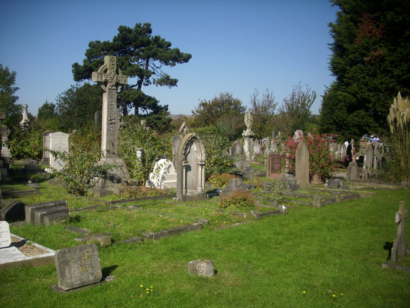
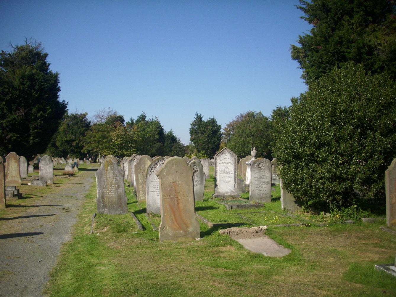
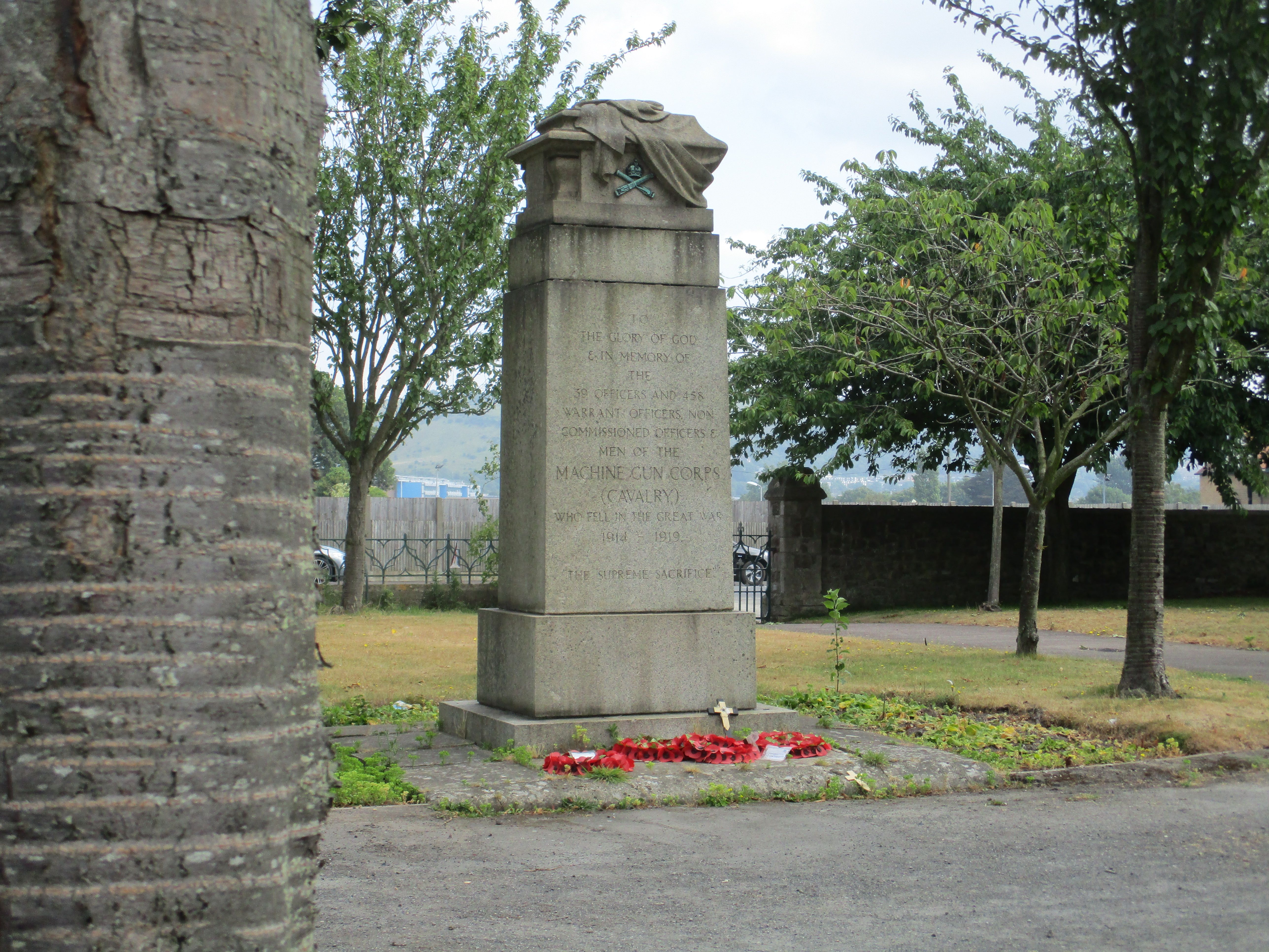
| Description | : | With the introduction of the Burial Act of 1853, which allowed the closure of Churches to further burials, the need arose for new cemeteries to be opened in the Towns and Cities of the country. Folkestone, Cheriton Road Cemetery was opened for burials in 1857, although there was one burial in 1856. The cemetery had its own Chapel at the main entrance and a Mortuary at the rear. The cemetery was extended to the East in 1891, increasing the capacity by about half. The number of burials reduced from about 1935, with most new burials using existing graves and later... Read More |
frequently asked questions (FAQ):
-
Where is Cheriton Road Cemetery?
Cheriton Road Cemetery is located at Folkestone, Shepway District ,Kent ,England.
-
Cheriton Road Cemetery cemetery's updated grave count on graveviews.com?
10539 memorials
-
Where are the coordinates of the Cheriton Road Cemetery?
Latitude: 51.0846000
Longitude: 1.1615100


Nearby Cemetories:
1. Holy Trinity Church
Folkestone, Shepway District, England
Coordinate: 51.0767190, 1.1674100
2. St John the Baptist Churchyard
Folkestone, Shepway District, England
Coordinate: 51.0858580, 1.1760900
3. Christ Church Graveyard
Folkestone, Shepway District, England
Coordinate: 51.0776520, 1.1735470
4. Bradstone Baptist Burial Ground
Folkestone, Shepway District, England
Coordinate: 51.0830220, 1.1803570
5. St Paul's Church
Sandgate, Shepway District, England
Coordinate: 51.0744900, 1.1495700
6. St Michael & All Angels Churchyard
Folkestone, Shepway District, England
Coordinate: 51.0821600, 1.1820300
7. St. Mary and St. Eanswythe Churchyard
Folkestone, Shepway District, England
Coordinate: 51.0787740, 1.1817510
8. Folkestone Friends Burial Ground
Folkestone, Shepway District, England
Coordinate: 51.0825560, 1.1856030
9. St Peter Churchyard
Folkestone, Shepway District, England
Coordinate: 51.0813050, 1.1882080
10. St. Martin Churchyard
Cheriton, Shepway District, England
Coordinate: 51.0857570, 1.1247500
11. Shorncliffe Military Cemetery
Folkestone, Shepway District, England
Coordinate: 51.0754204, 1.1270230
12. St. Nicholas Churchyard
Newington, Shepway District, England
Coordinate: 51.0942900, 1.1156300
13. Spring Lane Cemetery
Hythe, Shepway District, England
Coordinate: 51.0783450, 1.1134600
14. National Battle of Britain Memorial
Capel-le-Ferne, Dover District, England
Coordinate: 51.0984880, 1.2059130
15. St Michael the Archangel Churchyard
Hawkinge, Shepway District, England
Coordinate: 51.1130600, 1.1819210
16. Hawkinge Cemetery and Crematorium
Hawkinge, Shepway District, England
Coordinate: 51.1163710, 1.1578030
17. St. Oswald's Churchyard
Paddlesworth, Shepway District, England
Coordinate: 51.1149760, 1.1348910
18. United Reformed Church
Hythe, Shepway District, England
Coordinate: 51.0723220, 1.0913160
19. St. Mary's Churchyard
Capel-le-Ferne, Dover District, England
Coordinate: 51.1149650, 1.2235540
20. Hythe War Memorial
Hythe, Shepway District, England
Coordinate: 51.0703040, 1.0849560
21. St Leonard's Churchyard
Hythe, Shepway District, England
Coordinate: 51.0727800, 1.0836580
22. St Peter and St Paul Churchyard
Saltwood, Shepway District, England
Coordinate: 51.0827710, 1.0795340
23. St. Martin's Churchyard
Acrise, Shepway District, England
Coordinate: 51.1372970, 1.1346610
24. St Mary and St Ethelburga Churchyard
Lyminge, Shepway District, England
Coordinate: 51.1262670, 1.0869770