| Memorials | : | 65 |
| Location | : | Watton-at-Stone, East Hertfordshire District, England |
| Coordinate | : | 51.8533290, -0.1102500 |
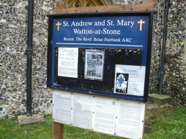
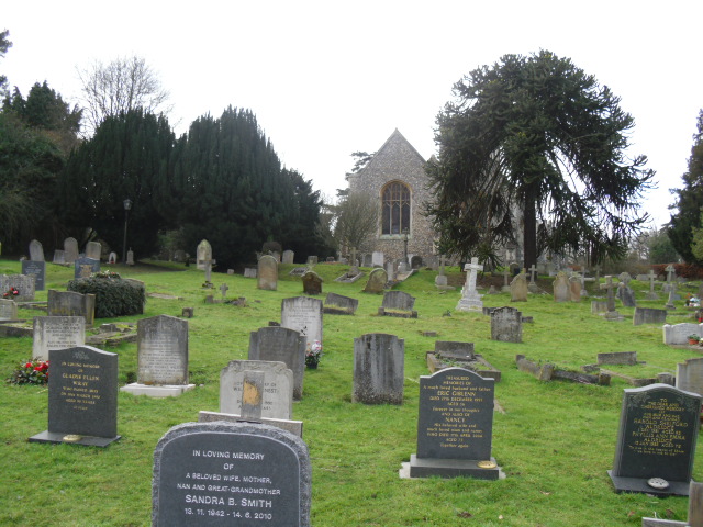
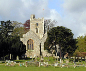
| Description | : | This church dates from the 14th century, but looks to have had some remodeling done in the 19th century. Its dedication to St Mary and St Andrew dates from that time, so for earlier burials the correct reference would simply be "Parish Church of Watton-at-Stone." |
frequently asked questions (FAQ):
-
Where is Ss Mary and Andrew Churchyard?
Ss Mary and Andrew Churchyard is located at Church Lane Watton-at-Stone, East Hertfordshire District ,Hertfordshire , SG14 3RDEngland.
-
Ss Mary and Andrew Churchyard cemetery's updated grave count on graveviews.com?
65 memorials
-
Where are the coordinates of the Ss Mary and Andrew Churchyard?
Latitude: 51.8533290
Longitude: -0.1102500
Nearby Cemetories:
1. St Mary the Virgin Churchyard
Stapleford, East Hertfordshire District, England
Coordinate: 51.8349710, -0.0973140
2. St Andrew Church
Bramfield, East Hertfordshire District, England
Coordinate: 51.8241000, -0.1266000
3. All Saints Churchyard
Datchworth, East Hertfordshire District, England
Coordinate: 51.8575577, -0.1609916
4. St Michael and All Angels Churchyard
Waterford, East Hertfordshire District, England
Coordinate: 51.8152260, -0.0971940
5. All Saints Churchyard
Little Munden, East Hertfordshire District, England
Coordinate: 51.8795770, -0.0625920
6. Harwood Park Crematorium
Stevenage, Stevenage Borough, England
Coordinate: 51.8717680, -0.1698410
7. St Peter Churchyard
Benington, East Hertfordshire District, England
Coordinate: 51.8956030, -0.1167310
8. St. Mary's Churchyard
Aston, East Hertfordshire District, England
Coordinate: 51.8875600, -0.1536200
9. St Martin
Knebworth, North Hertfordshire District, England
Coordinate: 51.8654900, -0.1820500
10. Knebworth Cemetery
Knebworth, North Hertfordshire District, England
Coordinate: 51.8595280, -0.1867730
11. Hertford Cemetery
Hertford, East Hertfordshire District, England
Coordinate: 51.8033280, -0.0979060
12. St Andrews Cemetery
Hertford, East Hertfordshire District, England
Coordinate: 51.8026720, -0.0951500
13. Holy Trinity Churchyard
Bengeo, East Hertfordshire District, England
Coordinate: 51.8053500, -0.0798610
14. St. Mary Parish Churchyard
Thundridge, East Hertfordshire District, England
Coordinate: 51.8366590, -0.0291820
15. St. Leonard's Churchyard
Bengeo, East Hertfordshire District, England
Coordinate: 51.8055165, -0.0722084
16. Ware Cemetery New
Ware, East Hertfordshire District, England
Coordinate: 51.8181400, -0.0438590
17. Ware Cemetery Old
Ware, East Hertfordshire District, England
Coordinate: 51.8170650, -0.0433230
18. St John the Evangelist Churchyard
High Cross, East Hertfordshire District, England
Coordinate: 51.8500010, -0.0213550
19. The Immaculate Conception and St Joseph
Hertford, East Hertfordshire District, England
Coordinate: 51.7988966, -0.0745293
20. Saint Andrew Churchyard
Hertford, East Hertfordshire District, England
Coordinate: 51.7960550, -0.0823520
21. Thundridge Old Churchyard
Thundridge, East Hertfordshire District, England
Coordinate: 51.8378330, -0.0156530
22. St Mary Churchyard
Hertingfordbury, East Hertfordshire District, England
Coordinate: 51.7919480, -0.1043700
23. All Saints with Saint John Churchyard
Hertford, East Hertfordshire District, England
Coordinate: 51.7950040, -0.0757330
24. Saint Mary's Churchyard
Ware, East Hertfordshire District, England
Coordinate: 51.8120500, -0.0331800


