
| Memorials | : | 3 |
| Location | : | Boosbeck, Redcar and Cleveland Unitary Authority, England |
| Coordinate | : | 54.5428560, -0.9786800 |
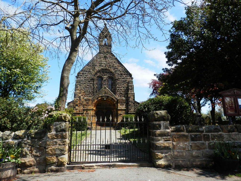
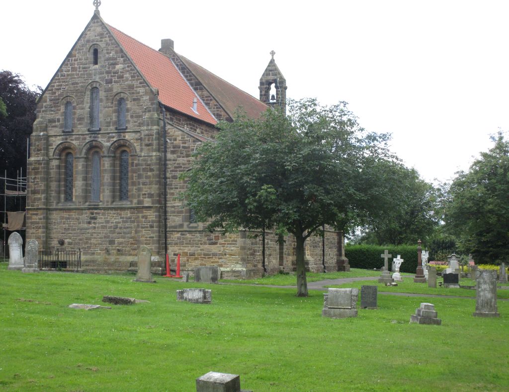
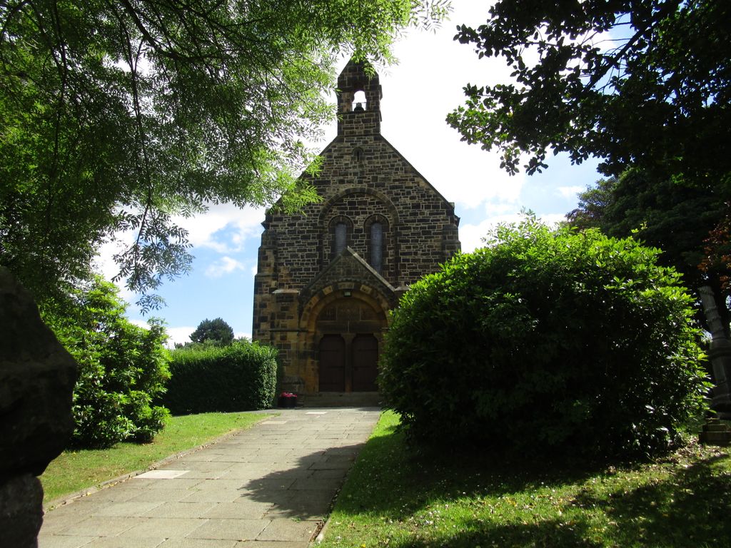
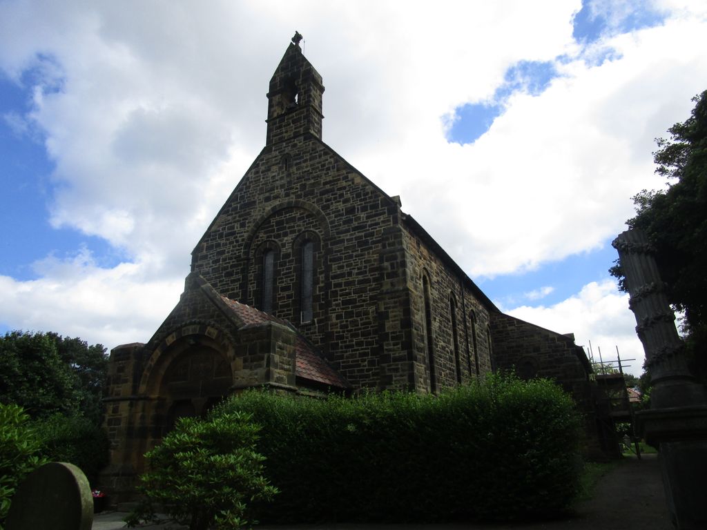
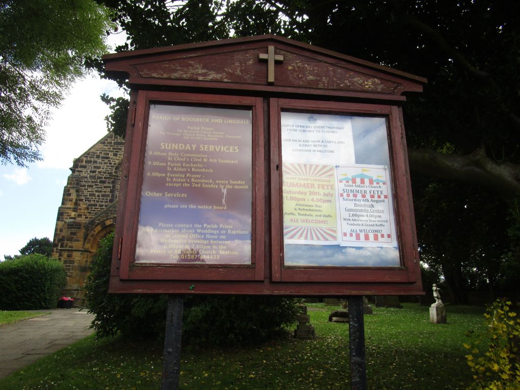
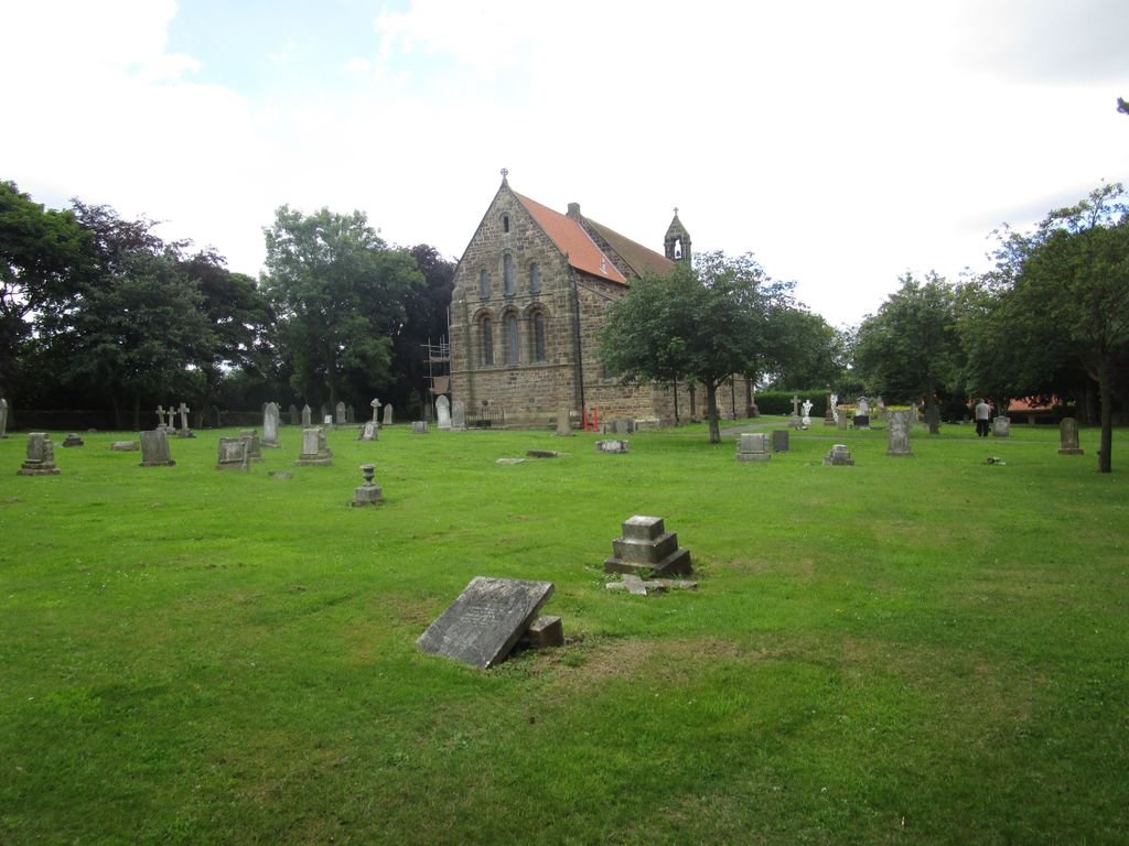
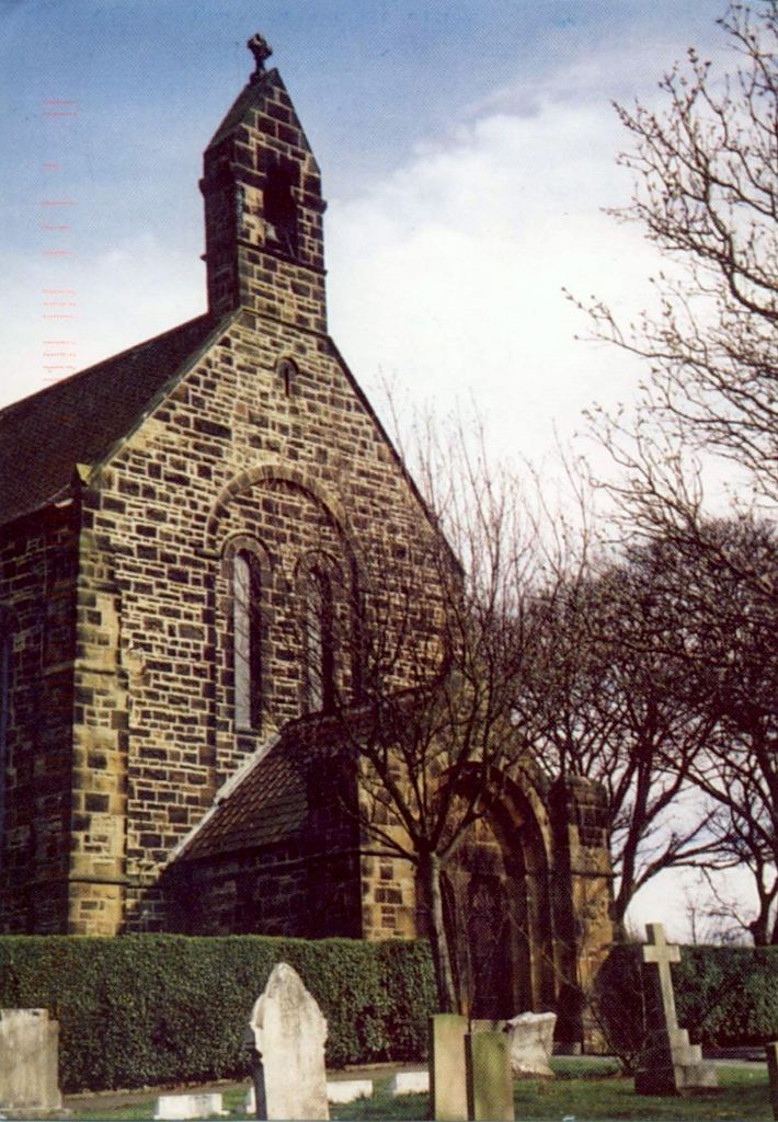
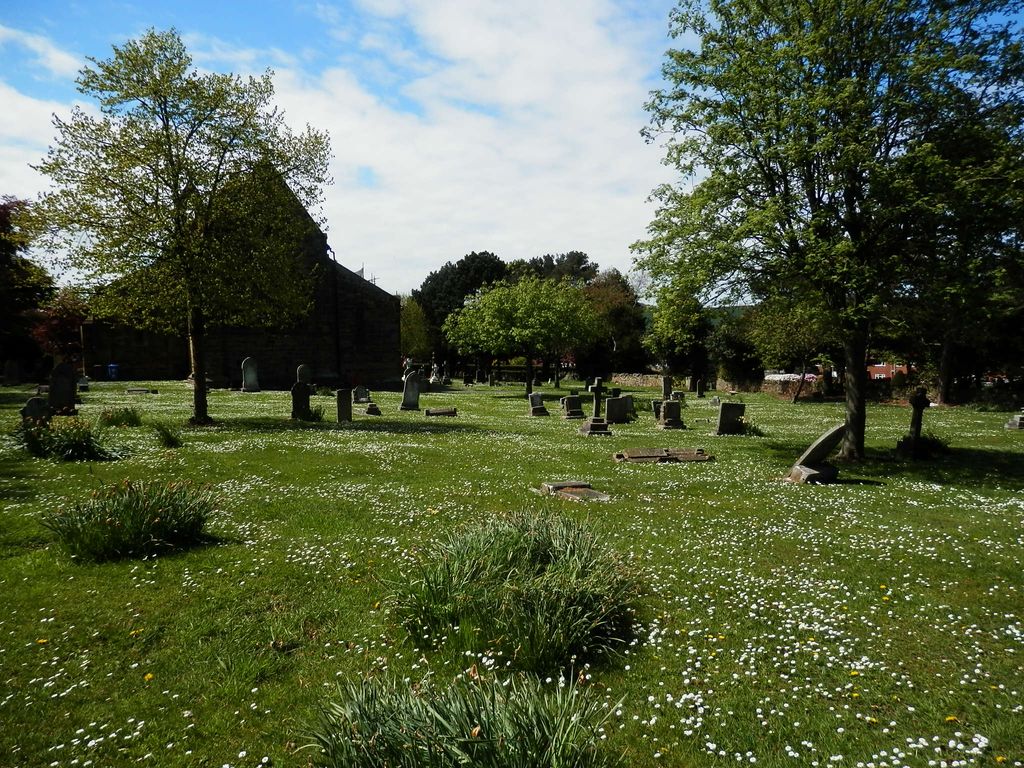
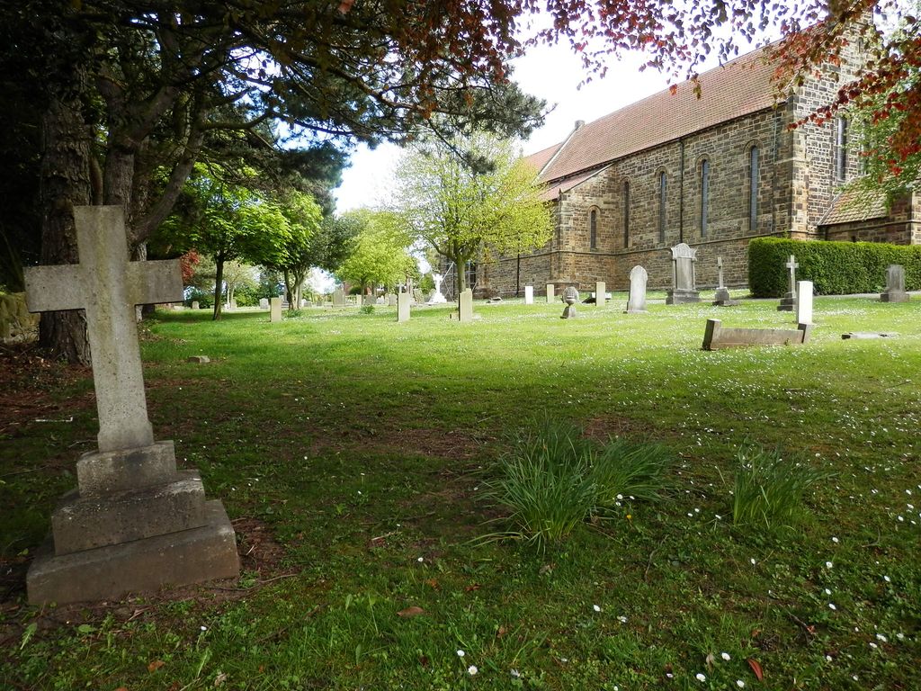
| Description | : | This Churchyard/Cemetery is adjacent to the ( Boosbeck Cemetery-St.Aidan's Churchyard ) which is a Municipal Cemetery operated by the Redcar and Cleveland Borough Council. St.Aidan's Church of Worship and surrounding Sacred burial grounds consists of an older burial section adjacent with a newer section.The division a beautiful stone wall with entrance still stands proudly, and hopefully will remain for many years to come. |
frequently asked questions (FAQ):
-
Where is St Aidan Churchyard?
St Aidan Churchyard is located at Church Drive Boosbeck, Redcar and Cleveland Unitary Authority ,North Yorkshire , TS12 3AYEngland.
-
St Aidan Churchyard cemetery's updated grave count on graveviews.com?
3 memorials
-
Where are the coordinates of the St Aidan Churchyard?
Latitude: 54.5428560
Longitude: -0.9786800
Nearby Cemetories:
1. Boosbeck Cemetery
Boosbeck, Redcar and Cleveland Unitary Authority, England
Coordinate: 54.5434900, -0.9779200
2. Skelton Cemetery
Skelton, Redcar and Cleveland Unitary Authority, England
Coordinate: 54.5604320, -0.9736353
3. All Saints Old Churchyard
Skelton, Redcar and Cleveland Unitary Authority, England
Coordinate: 54.5623500, -0.9927600
4. St. Andrew's Old Churchyard
Upleatham, Redcar and Cleveland Unitary Authority, England
Coordinate: 54.5656900, -1.0164700
5. St Mary Churchyard
Moorsholm, Redcar and Cleveland Unitary Authority, England
Coordinate: 54.5207800, -0.9375800
6. St Margaret of Antioch Churchyard
Brotton, Redcar and Cleveland Unitary Authority, England
Coordinate: 54.5691380, -0.9358330
7. St. Margaret of Antioch Church Cemetery
Brotton, Redcar and Cleveland Unitary Authority, England
Coordinate: 54.5662700, -0.9305900
8. Brotton Cemetery
Brotton, Redcar and Cleveland Unitary Authority, England
Coordinate: 54.5670800, -0.9310100
9. St Peter Churchyard
Brotton, Redcar and Cleveland Unitary Authority, England
Coordinate: 54.5679900, -0.9316200
10. Guisborough Cemetery
Guisborough, Redcar and Cleveland Unitary Authority, England
Coordinate: 54.5448330, -1.0430940
11. Saltburn by the Sea Cemetery
Saltburn-by-the-Sea, Redcar and Cleveland Unitary Authority, England
Coordinate: 54.5808780, -0.9880640
12. St. Nicholas Churchyard
Guisborough, Redcar and Cleveland Unitary Authority, England
Coordinate: 54.5366500, -1.0482800
13. Guisborough Priory
Guisborough, Redcar and Cleveland Unitary Authority, England
Coordinate: 54.5361700, -1.0489500
14. St. Michael Churchyard
Liverton, Redcar and Cleveland Unitary Authority, England
Coordinate: 54.5370370, -0.9025160
15. Quakers Burial Ground
Guisborough, Redcar and Cleveland Unitary Authority, England
Coordinate: 54.5355100, -1.0569760
16. St Helen's
Carlin How, Redcar and Cleveland Unitary Authority, England
Coordinate: 54.5673410, -0.9024120
17. St Leonard Churchyard
Loftus, Redcar and Cleveland Unitary Authority, England
Coordinate: 54.5532560, -0.8855250
18. St. Germain Churchyard
Marske-by-the-Sea, Redcar and Cleveland Unitary Authority, England
Coordinate: 54.5946000, -1.0115200
19. St Peter Churchyard
Commondale, Scarborough Borough, England
Coordinate: 54.4863700, -0.9766200
20. Loftus Cemetery
Loftus, Redcar and Cleveland Unitary Authority, England
Coordinate: 54.5532380, -0.8716350
21. Kirkleatham Memorial Park and Crematorium
Yearby, Redcar and Cleveland Unitary Authority, England
Coordinate: 54.5866300, -1.0753800
22. St Cuthbert Churchyard
Wilton, Redcar and Cleveland Unitary Authority, England
Coordinate: 54.5694200, -1.0992400
23. All Saints Churchyard
Easington, Redcar and Cleveland Unitary Authority, England
Coordinate: 54.5520200, -0.8499800
24. St Cuthbert Churchyard
Kirkleatham, Redcar and Cleveland Unitary Authority, England
Coordinate: 54.5881700, -1.0825600