
| Memorials | : | 2 |
| Location | : | Clifton, Bristol Unitary Authority, England |
| Coordinate | : | 51.4543810, -2.6147460 |
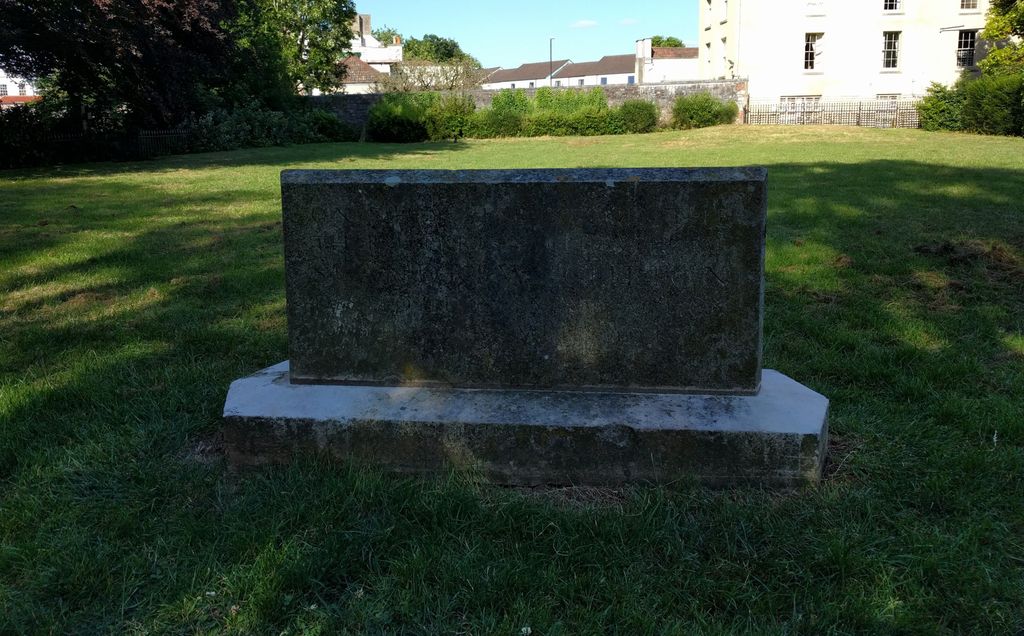
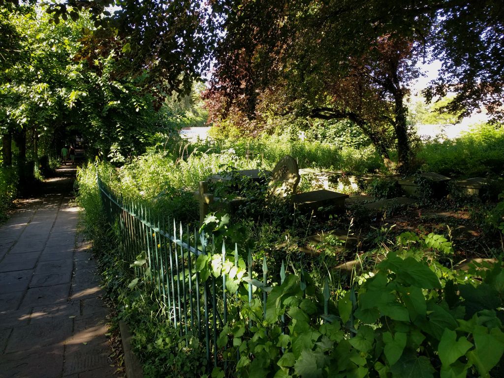
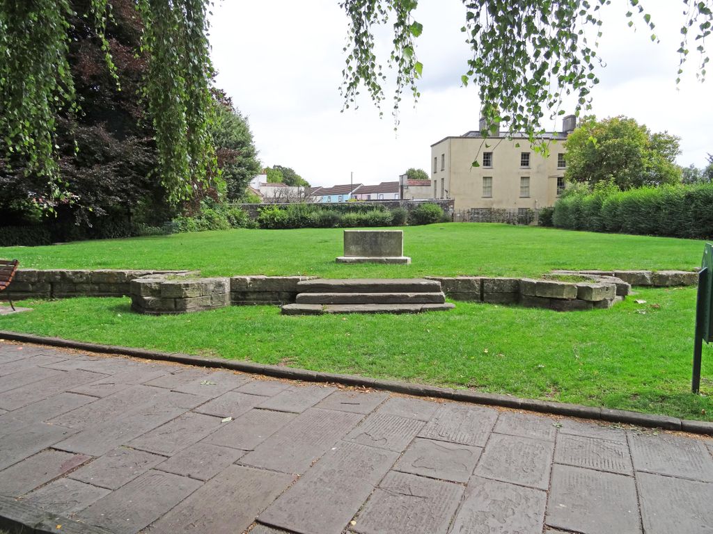
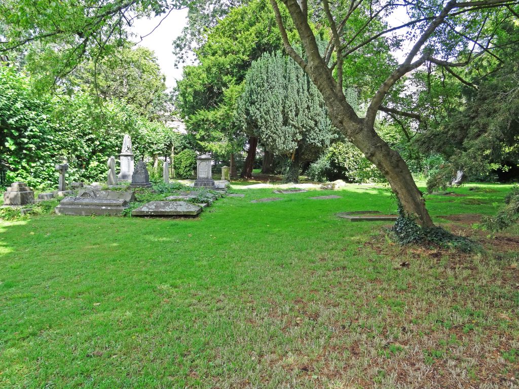
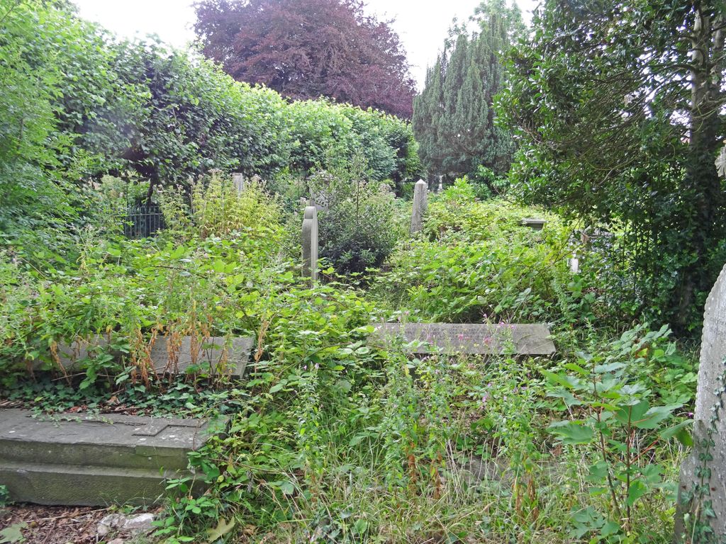
| Description | : | St. Andrew's Church was a medieval church built c. 1100s that was occasionally remodeled throughout the centuries to accomodate a growing population, and is the site where John Wesley preached a sermon on Sunday May 13th, 1739. The church faced controversy in the 1700s over the lack of seating and the selling of pews for hefty prices. The church was bombed during WWII on November 24th, 1940 by the Luftwaffe, leaving the church completely shelled and many of the tombstones and memorial in the churchard severely damaged. Almost all that remains of the church today is a memorial stone. However,... Read More |
frequently asked questions (FAQ):
-
Where is St. Andrew's Churchyard?
St. Andrew's Churchyard is located at Clifton, Bristol Unitary Authority ,Bristol ,England.
-
St. Andrew's Churchyard cemetery's updated grave count on graveviews.com?
2 memorials
-
Where are the coordinates of the St. Andrew's Churchyard?
Latitude: 51.4543810
Longitude: -2.6147460
Nearby Cemetories:
1. Christ Church Cemetery
Clifton, Bristol Unitary Authority, England
Coordinate: 51.4576220, -2.6200000
2. Hope Chapel
Clifton, Bristol Unitary Authority, England
Coordinate: 51.4512800, -2.6216000
3. Clifton Cathedral
Clifton, Bristol Unitary Authority, England
Coordinate: 51.4596870, -2.6163140
4. Bristol Cathedral
Bristol, Bristol Unitary Authority, England
Coordinate: 51.4517059, -2.6007321
5. St. Mark's Church
Bristol, Bristol Unitary Authority, England
Coordinate: 51.4528770, -2.5999610
6. St. Michael on the Mount Without Churchyard
Bristol, Bristol Unitary Authority, England
Coordinate: 51.4571510, -2.5984070
7. Church of St John the Baptist
Bristol, Bristol Unitary Authority, England
Coordinate: 51.4559460, -2.5950320
8. St Stephen's Churchyard
Bristol, Bristol Unitary Authority, England
Coordinate: 51.4535380, -2.5937270
9. All Saints Church
Bristol, Bristol Unitary Authority, England
Coordinate: 51.4546990, -2.5932550
10. St Paul's Churchyard
Bedminster, Bristol Unitary Authority, England
Coordinate: 51.4452800, -2.5989500
11. St. James Priory
Bristol, Bristol Unitary Authority, England
Coordinate: 51.4585220, -2.5936690
12. St Nicholas Churchyard
Bristol, Bristol Unitary Authority, England
Coordinate: 51.4539170, -2.5923050
13. St. James Churchyard
Bristol, Bristol Unitary Authority, England
Coordinate: 51.4585510, -2.5932310
14. Holy Trinity Church
Bristol, Bristol Unitary Authority, England
Coordinate: 51.4559548, -2.5915587
15. Broadmead Baptist Church
Bristol, Bristol Unitary Authority, England
Coordinate: 51.4575500, -2.5915500
16. St. Peter's Churchyard
Bristol, Bristol Unitary Authority, England
Coordinate: 51.4553560, -2.5896930
17. Hebron Road Burial Ground
Bristol, Bristol Unitary Authority, England
Coordinate: 51.4400610, -2.6041020
18. Quaker Burial Ground
Redcliffe, Bristol Unitary Authority, England
Coordinate: 51.4486700, -2.5905900
19. St Mary the Virgin Churchyard
Redcliffe, Bristol Unitary Authority, England
Coordinate: 51.4482800, -2.5895460
20. Black Friars Priory
Bristol, Bristol Unitary Authority, England
Coordinate: 51.4572220, -2.5877780
21. Quakers Friars Burial Ground
Bristol, Bristol Unitary Authority, England
Coordinate: 51.4572220, -2.5877780
22. Temple Churchyard
Bristol, Bristol Unitary Authority, England
Coordinate: 51.4520010, -2.5868870
23. Temple Church Churchyard
Redcliffe, Bristol Unitary Authority, England
Coordinate: 51.4521160, -2.5867630
24. St John the Baptist Church Demolished
Bedminster, Bristol Unitary Authority, England
Coordinate: 51.4400110, -2.5982980