
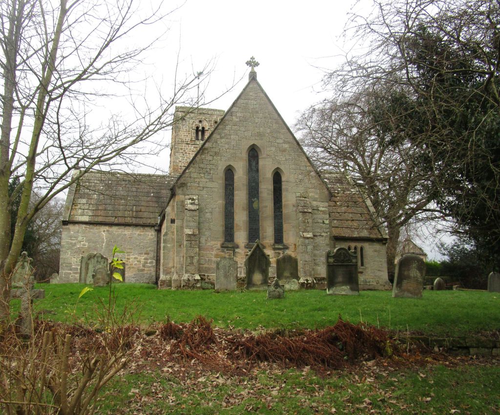
| Memorials | : | 0 |
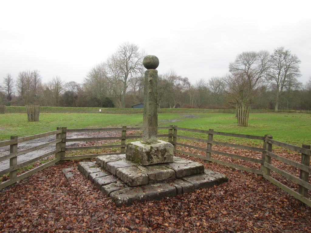
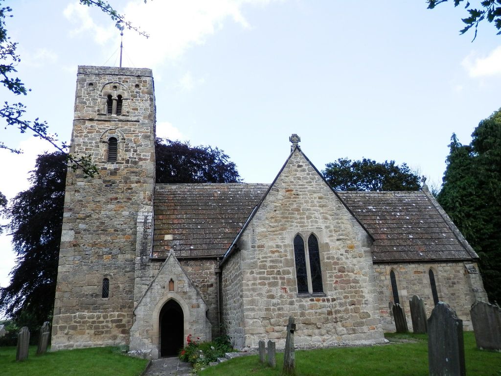
| Location | : | Bywell, Northumberland Unitary Authority, England |
| Coordinate | : | 54.9482010, -1.9258340 |
frequently asked questions (FAQ):
-
Where is St Andrew's Churchyard?
St Andrew's Churchyard is located at Bywell, Northumberland Unitary Authority ,Northumberland ,England.
-
St Andrew's Churchyard cemetery's updated grave count on graveviews.com?
0 memorials
-
Where are the coordinates of the St Andrew's Churchyard?
Latitude: 54.9482010
Longitude: -1.9258340
Nearby Cemetories:
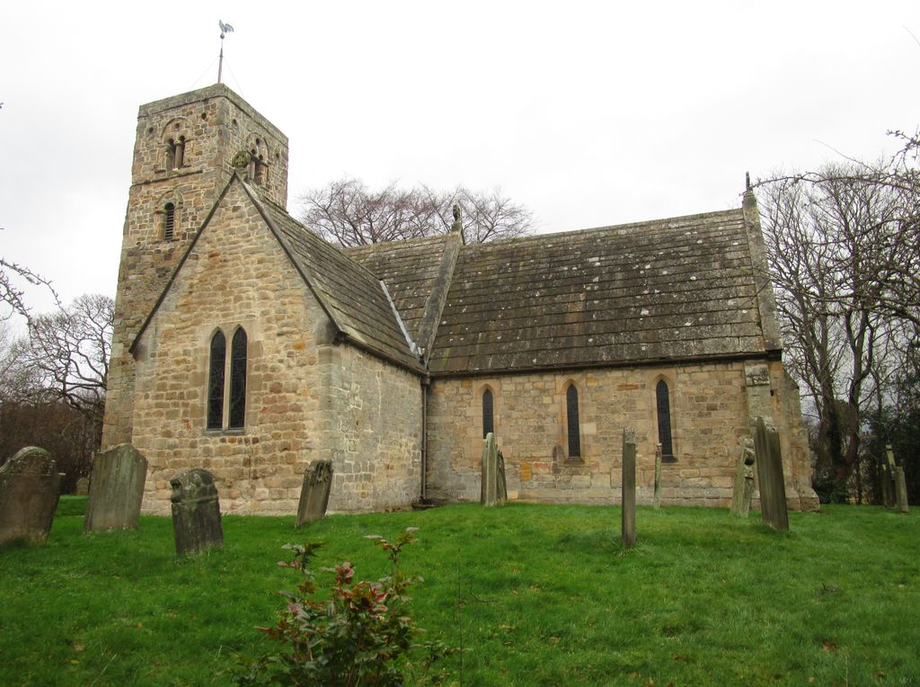
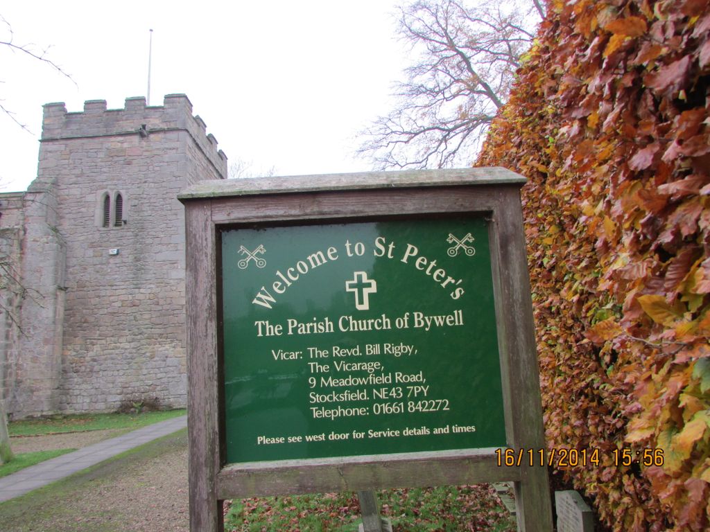
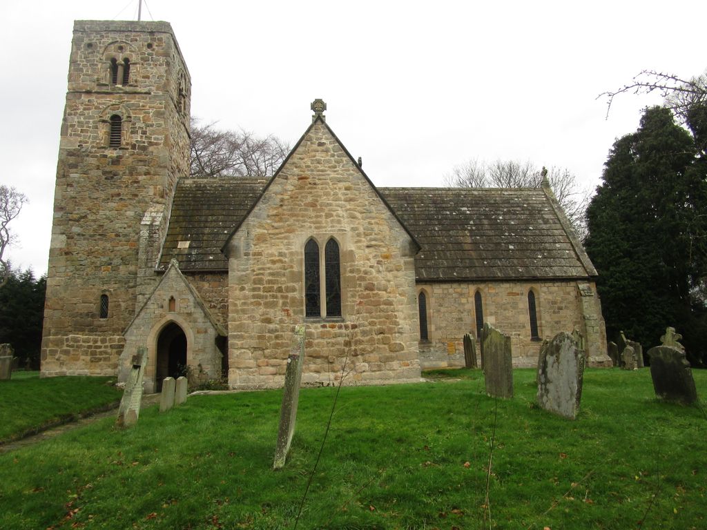
1. St. Peter's Churchyard
Bywell, Northumberland Unitary Authority, England
Coordinate: 54.9476800, -1.9249700
2. Hindley and Broomley Churchyard
Broomley, Northumberland Unitary Authority, England
Coordinate: 54.9279100, -1.9339700
3. St George's Churchyard
Mickley, Northumberland Unitary Authority, England
Coordinate: 54.9498300, -1.8831900
4. St John's Churchyard
Healey, Northumberland Unitary Authority, England
Coordinate: 54.9200850, -1.9790940
5. Saint Andrew’s Churchyard
Kiln Pit Hill, Northumberland Unitary Authority, England
Coordinate: 54.8916000, -1.9307000
6. St Andrew's Churchyard
Corbridge, Northumberland Unitary Authority, England
Coordinate: 54.9745300, -2.0197400
7. Corbridge Cemetery
Corbridge, Northumberland Unitary Authority, England
Coordinate: 54.9693100, -2.0263500
8. Dilston Castle Chapelyard
Corbridge, Northumberland Unitary Authority, England
Coordinate: 54.9639270, -2.0393460
9. St John the Evangelist Churchyard
Chopwell, Metropolitan Borough of Gateshead, England
Coordinate: 54.9236780, -1.8093620
10. St Oswalds Churchyard
Halton, Northumberland Unitary Authority, England
Coordinate: 55.0050180, -2.0048830
11. St Ebba’s Churchyard
Ebchester, Durham Unitary Authority, England
Coordinate: 54.8938660, -1.8401650
12. Low Westwood Christ Churchyard
Low Westwood, Durham Unitary Authority, England
Coordinate: 54.9030390, -1.8246450
13. Sacred Heart Roman Catholic Cemetery
Low Westwood, Durham Unitary Authority, England
Coordinate: 54.9009080, -1.8258350
14. Low Westwood Cemetery
Low Westwood, Durham Unitary Authority, England
Coordinate: 54.9008900, -1.8257700
15. St. John's Churchyard
Greenside, Metropolitan Borough of Gateshead, England
Coordinate: 54.9584780, -1.7818970
16. Greenside Cemetery
Greenside, Metropolitan Borough of Gateshead, England
Coordinate: 54.9591900, -1.7808900
17. St. Mary Magdalene Churchyard
Medomsley, Durham Unitary Authority, England
Coordinate: 54.8839400, -1.8161700
18. Heddon on The Wall Churchyard
Heddon-on-the-Wall, Northumberland Unitary Authority, England
Coordinate: 54.9962960, -1.7923170
19. St Patricks Cemetery
High Spen, Metropolitan Borough of Gateshead, England
Coordinate: 54.9215030, -1.7744860
20. Winnowshill Friends' Meeting House
Healey, Northumberland Unitary Authority, England
Coordinate: 54.8706180, -2.0084840
21. Hookergate Cemetery
Rowlands Gill, Metropolitan Borough of Gateshead, England
Coordinate: 54.9214632, -1.7744345
22. Holy Trinity Churchyard
Matfen, Northumberland Unitary Authority, England
Coordinate: 55.0403000, -1.9536100
23. Holy Cross Parish Churchyard
Ryton, Metropolitan Borough of Gateshead, England
Coordinate: 54.9774810, -1.7649850
24. Ryton and Crawcrook Cemetery
Ryton, Metropolitan Borough of Gateshead, England
Coordinate: 54.9703360, -1.7596530